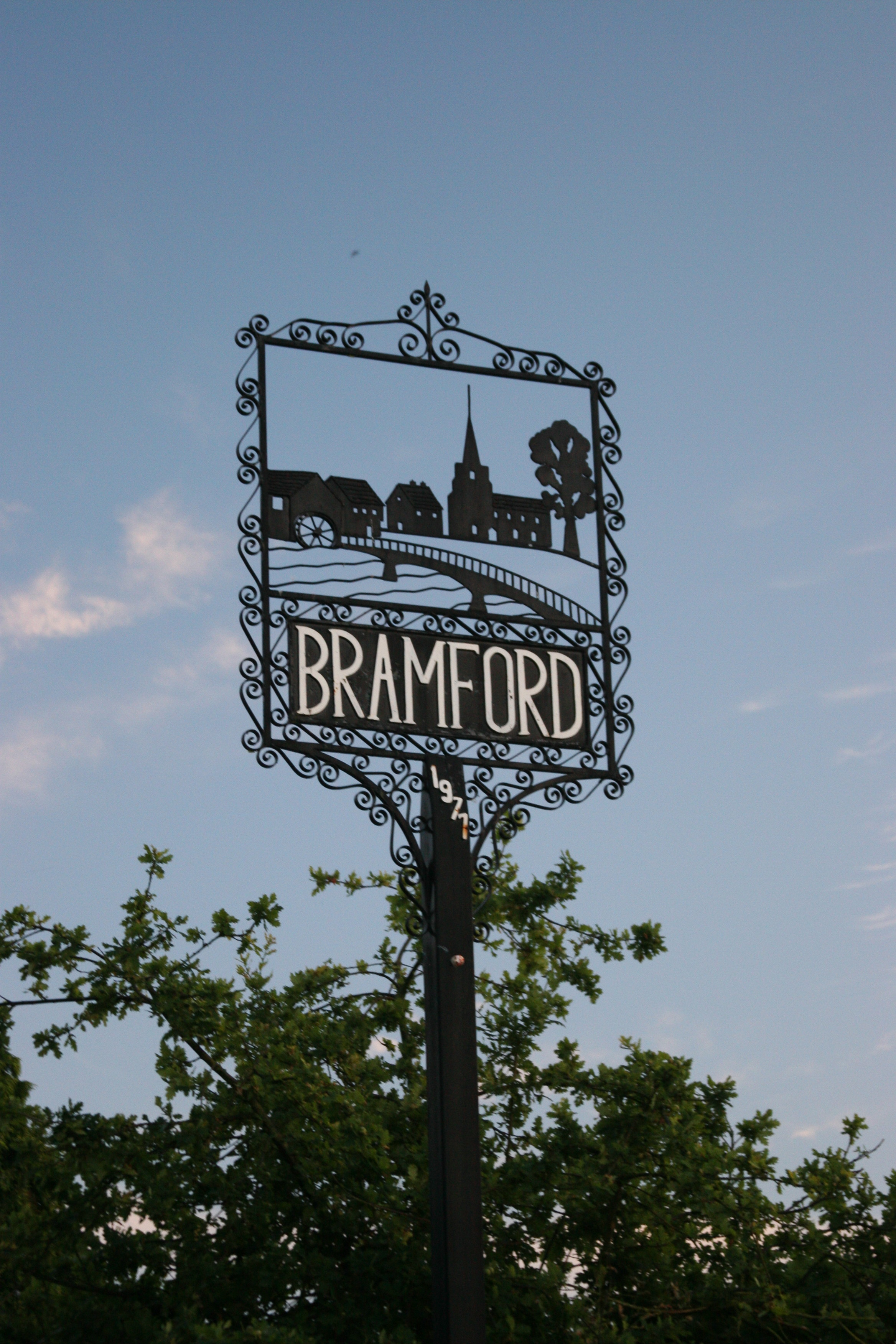
Bramford
Civil Parish in Suffolk Mid Suffolk
England
Bramford
Bramford is a civil parish located in the county of Suffolk, England. Situated on the River Gipping, it lies approximately three miles west of the town of Ipswich. The parish covers an area of around 14 square kilometers and is home to a population of approximately 3,500 residents.
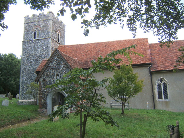
The village of Bramford has a rich history dating back to the medieval period. It was mentioned in the Domesday Book of 1086 as "Branesforda," indicating its long-standing presence. The area was primarily agricultural, with farming being the main occupation for many centuries. Today, the village still retains its rural character, with picturesque landscapes and several historic buildings.
The heart of Bramford is its village center, which features a variety of amenities and services for residents. These include a primary school, a village hall, a local pub, a post office, and a range of shops and businesses. The community spirit is strong in Bramford, with regular events and activities organized throughout the year, such as the annual village fete and various clubs and societies.
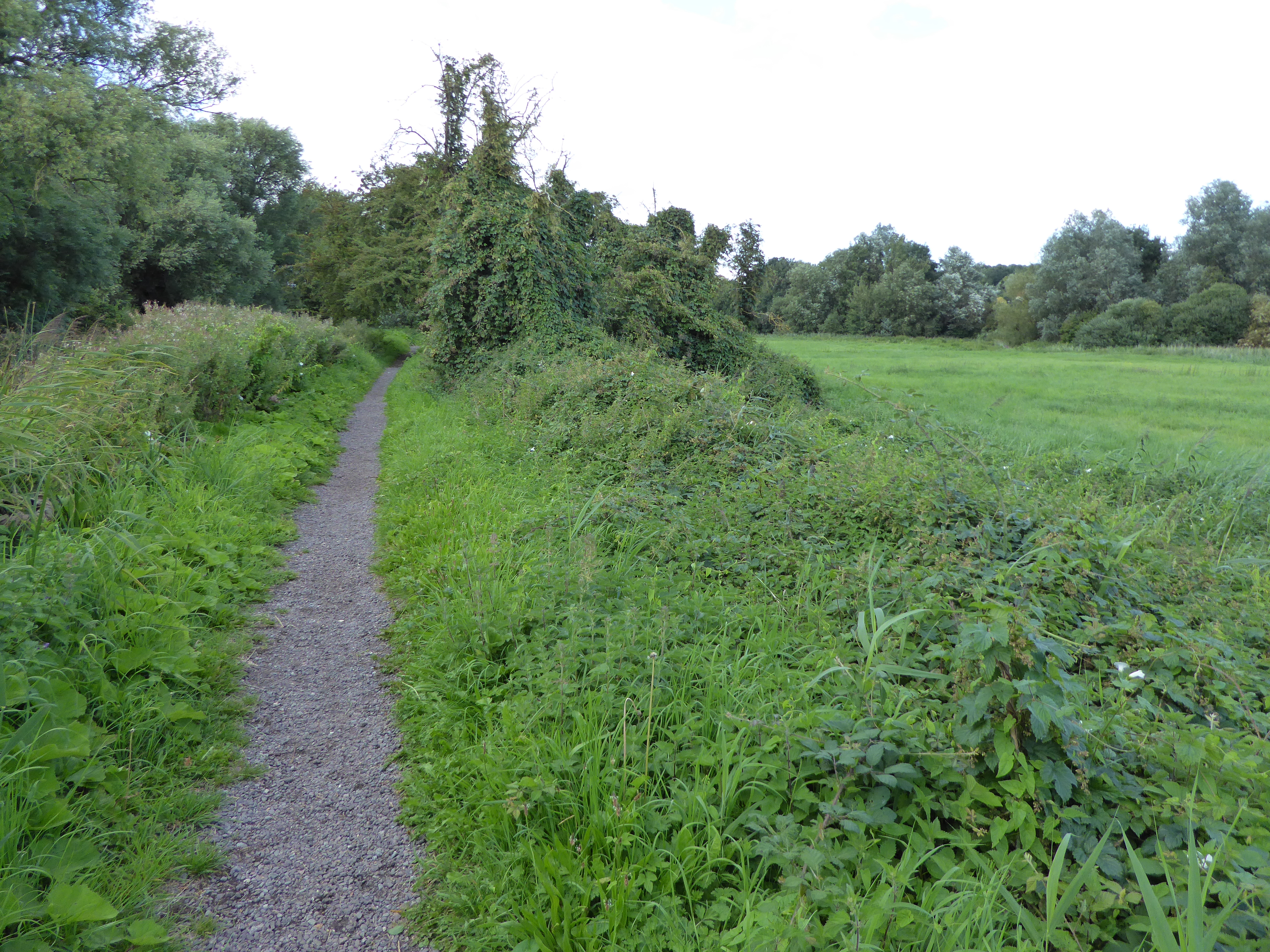
Nature enthusiasts can explore the surrounding countryside, which offers opportunities for walking, cycling, and wildlife spotting. The River Gipping also provides a tranquil setting for boating and fishing. Additionally, Bramford is well-connected to nearby towns and cities, with good transportation links, making it an attractive place for commuters.
Overall, Bramford is a charming and welcoming civil parish that combines its historical roots with a modern and vibrant community spirit. Its picturesque setting, range of amenities, and proximity to larger urban areas make it an attractive place to live and visit.
If you have any feedback on the listing, please let us know in the comments section below.
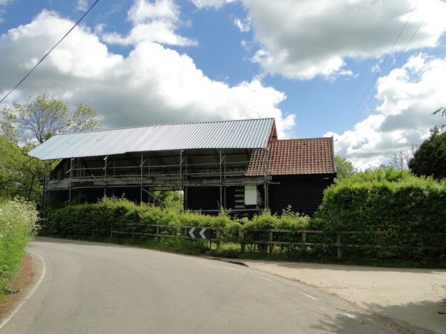
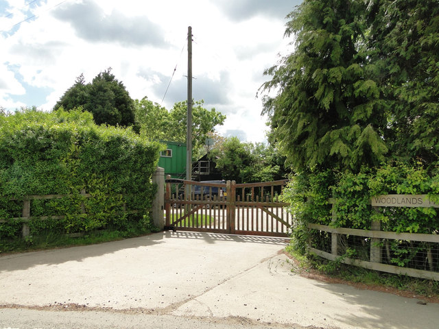
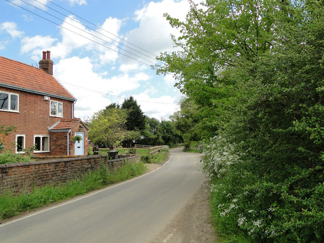
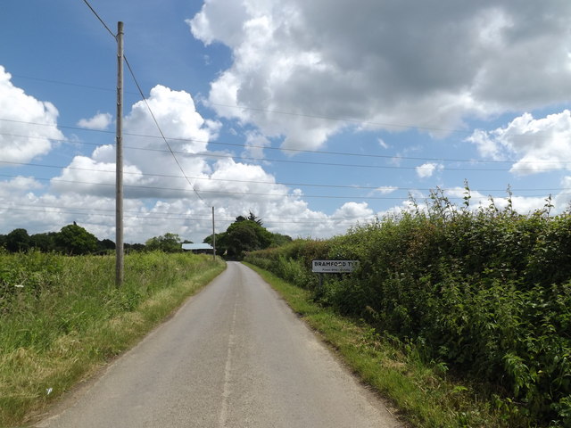
Bramford Images
Images are sourced within 2km of 52.079903/1.081812 or Grid Reference TM1146. Thanks to Geograph Open Source API. All images are credited.


Bramford is located at Grid Ref: TM1146 (Lat: 52.079903, Lng: 1.081812)
Administrative County: Suffolk
District: Mid Suffolk
Police Authority: Suffolk
What 3 Words
///cape.statement.defining. Near Bramford, Suffolk
Nearby Locations
Related Wikis
Bramford
Bramford is a village in the Mid Suffolk district of Suffolk, England. It is three miles west of Ipswich of which it forms part of the wider Ipswich Built...
Bramford Meadows
Bramford Meadows is a nine hectare Local Nature Reserve in Bramford, on the western outskirts of Ipswich in Suffolk. It is owned by Bramford Parish Council...

Bramford railway station
Bramford railway station refers to the two stations located in Bramford, Suffolk. == History == The first station at Bramford was opened by the Ipswich...
Little Blakenham
Little Blakenham is a village and civil parish in the Mid Suffolk district of Suffolk in eastern England. Located around two miles north-west of Ipswich...
Nearby Amenities
Located within 500m of 52.079903,1.081812Have you been to Bramford?
Leave your review of Bramford below (or comments, questions and feedback).