Bramham cum Oglethorpe
Civil Parish in Yorkshire Leeds
England
Bramham cum Oglethorpe
Bramham cum Oglethorpe is a civil parish located in the county of Yorkshire, England. It is situated approximately 11 miles northeast of the city of Leeds and covers an area of around 5 square miles. The parish is made up of two historic villages, Bramham and Oglethorpe, which are separated by a small distance.
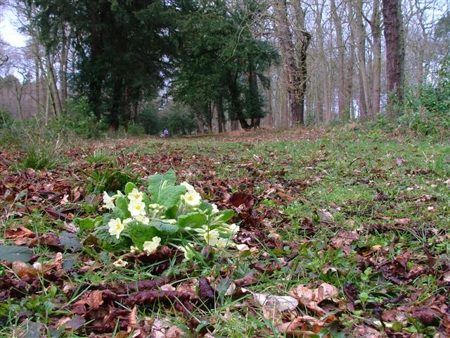
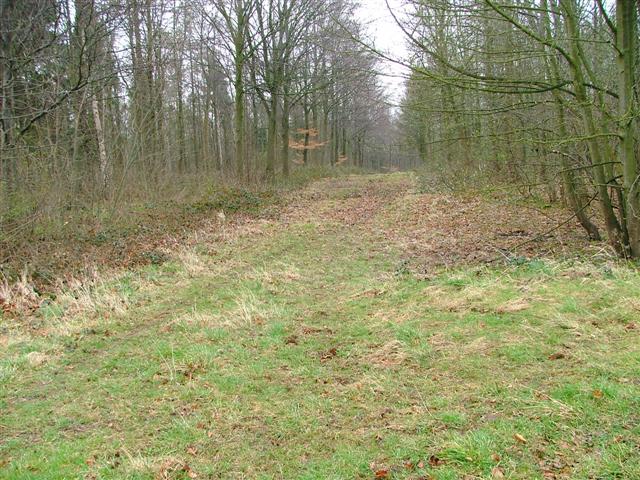
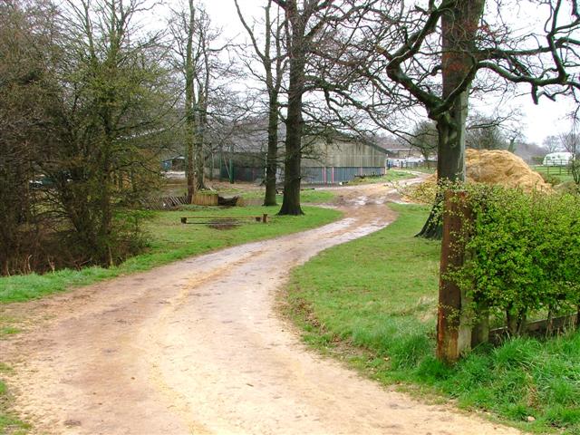
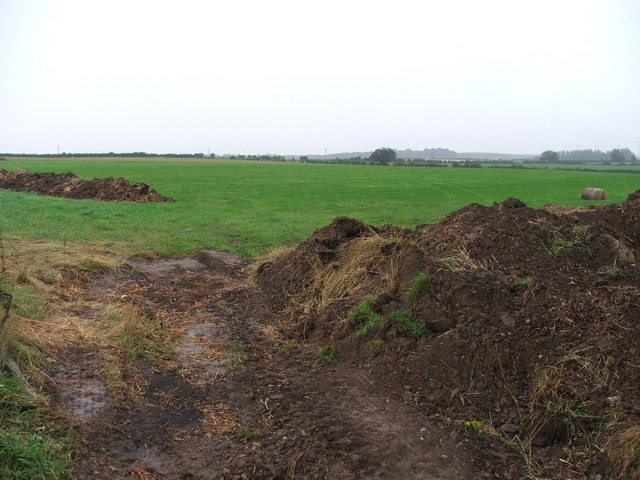
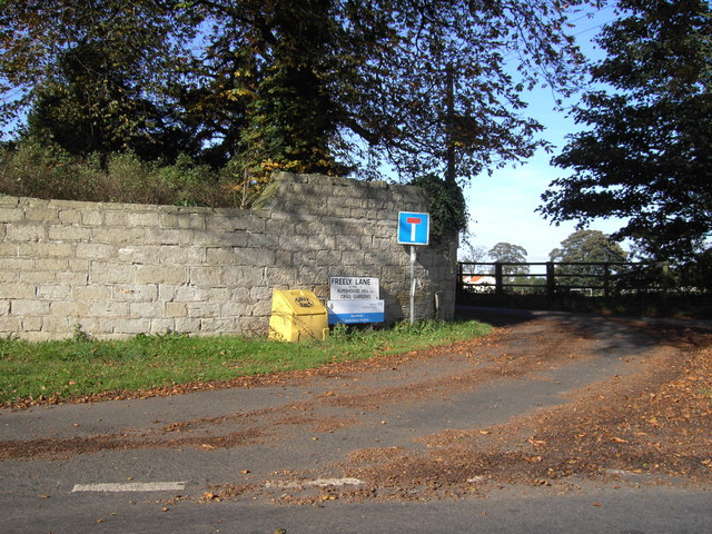
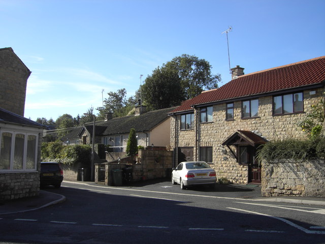
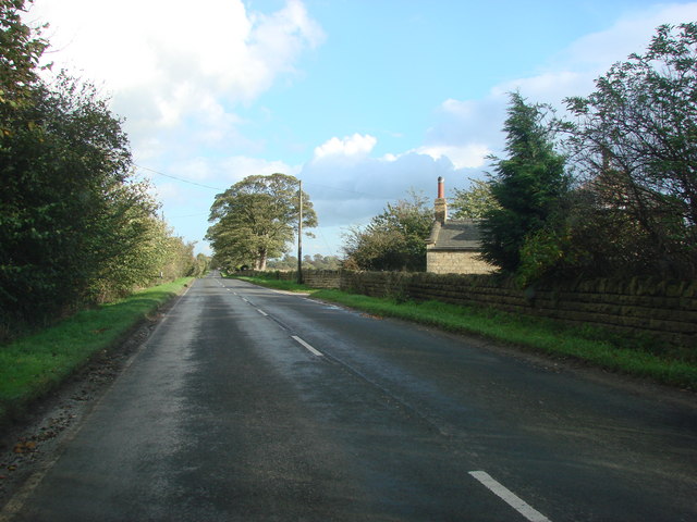
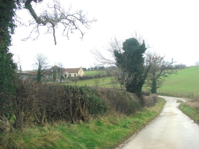
Bramham cum Oglethorpe is a predominantly rural area with a population of around 1,300 residents. The landscape is characterized by rolling countryside, farmland, and a few scattered woodlands. The River Wharfe also runs through the western part of the parish, adding to its picturesque charm.
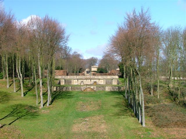
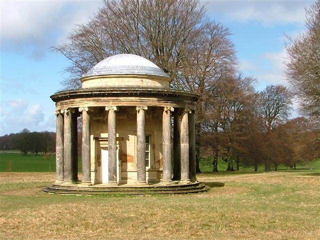
The villages within the parish have a rich history, with Bramham dating back to Roman times. It is known for its beautiful architecture, including the Grade I listed All Saints Church, which dates back to the 12th century. Bramham Park, a stately home and estate, is another notable landmark in the area. It hosts various events throughout the year, including the famous Bramham International Horse Trials.
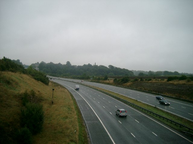
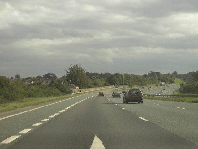
The parish is well-connected, with easy access to major road networks, including the A1(M) and the A64. This makes it an attractive location for commuters working in nearby cities such as Leeds and York.
Bramham cum Oglethorpe offers a peaceful and idyllic countryside lifestyle, with a strong sense of community. It provides a range of amenities, including local shops, pubs, and a primary school, catering to the needs of its residents.
If you have any feedback on the listing, please let us know in the comments section below.
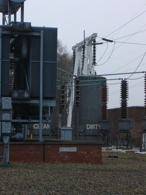
Bramham cum Oglethorpe Images
Images are sourced within 2km of 53.871963/-1.351015 or Grid Reference SE4241. Thanks to Geograph Open Source API. All images are credited.
Bramham cum Oglethorpe is located at Grid Ref: SE4241 (Lat: 53.871963, Lng: -1.351015)
Division: West Riding
Administrative County: West Yorkshire
District: Leeds
Police Authority: West Yorkshire
What 3 Words
///suspends.inflame.pass. Near Bramham, West Yorkshire
Nearby Locations
Related Wikis

Bowcliffe Hall
Bowcliffe Hall is located at Bramham near Wetherby, West Yorkshire, England. Built between 1805 and 1825, Bowcliffe Hall is a Grade II listed building...

Bramham, West Yorkshire
Bramham is a village in the civil parish of Bramham cum Oglethorpe in the City of Leeds metropolitan borough, West Yorkshire, England. It sits in the Wetherby...
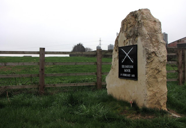
Battle of Bramham Moor
The Battle of Bramham Moor on 19 February 1408 was the final battle in the Percy Rebellion of 1402 – 1408, which pitted Henry Percy, 1st Earl of Northumberland...
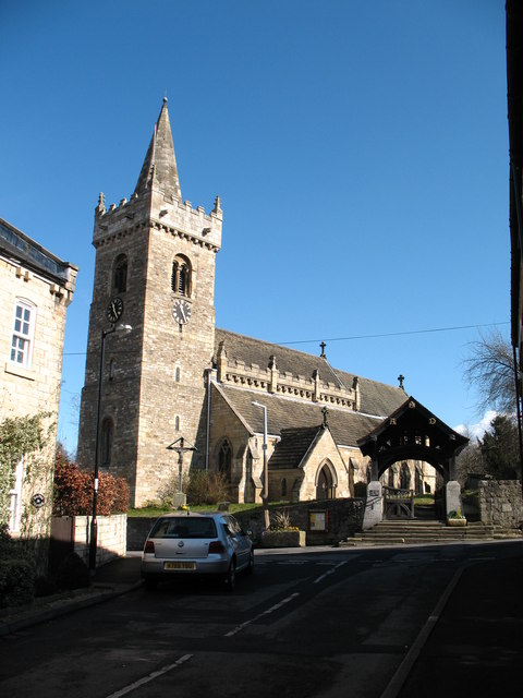
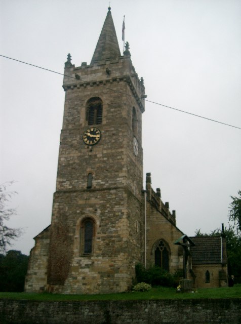
All Saints' Church, Bramham
All Saints' Church in Bramham, West Yorkshire, England is an active Anglican parish church and Grade II* listed building in the Deanery of New Ainsty,...
Bramham cum Oglethorpe
Bramham cum Oglethorpe is a civil parish forming part of the City of Leeds in the English county of West Yorkshire. The main settlement in the parish is...

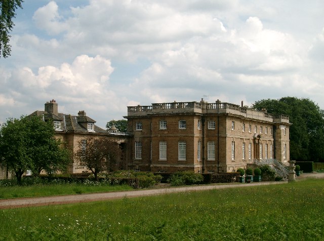
Bramham Park
Bramham Park is a Grade I listed 18th-century country house in Bramham, between Leeds and Wetherby, in West Yorkshire, England. The house, constructed...

Bramham Moor Aerodrome
Bramham Moor Aerodrome, (later known as RAF Tadcaster), was a First World War era military airfield near to the village of Bramham, West Yorkshire, England...

St Luke's Church, Clifford, West Yorkshire
St Luke's is an Anglican church in Clifford, West Yorkshire, England, part of the New Ainsty Deanery. It is one of three churches in Clifford; the second...
Nearby Amenities
Located within 500m of 53.871963,-1.351015Have you been to Bramham cum Oglethorpe?
Leave your review of Bramham cum Oglethorpe below (or comments, questions and feedback).