West Coseley

Settlement in Staffordshire

England

West Coseley

Dudley Canal Tunnel Next to the Black Country Living Museum. A separate trust operates boat trips into the tunnel
Dudley Canal Tunnel Credit: Chris Allen

West Coseley is a small village located in the county of Staffordshire, England. It lies approximately 7 miles northwest of the city of Wolverhampton and is part of the South Staffordshire district. The village is situated on the western banks of the River Penk, which runs through the area.

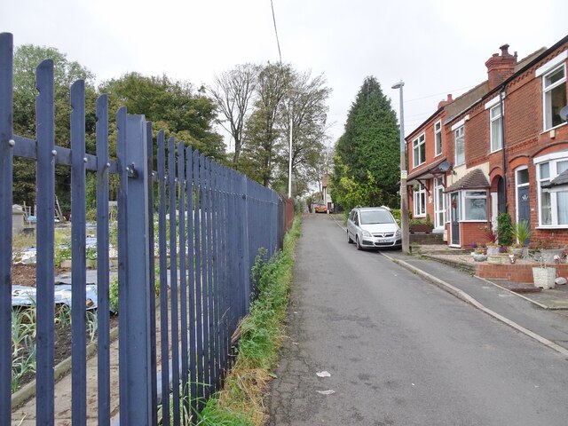
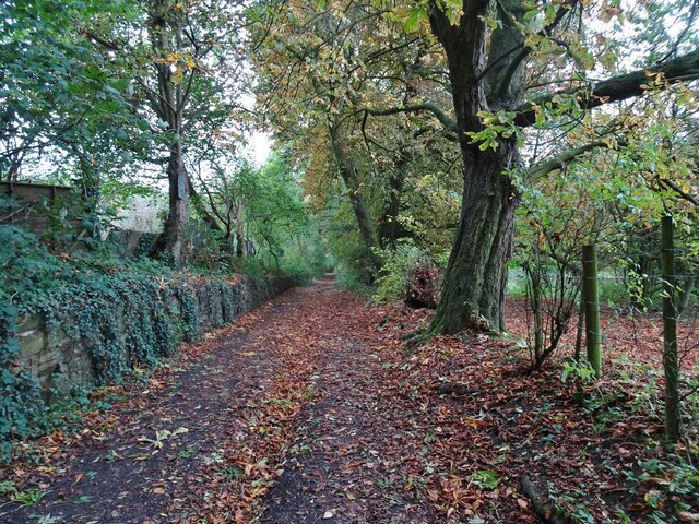
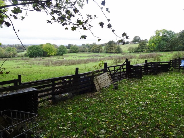
West Coseley is a predominantly residential area, characterized by a mix of traditional brick houses and more modern developments. The village offers a peaceful and picturesque setting, with green fields and open spaces surrounding it. The River Penk adds to the charm of the area, providing opportunities for leisurely walks and a serene ambiance.

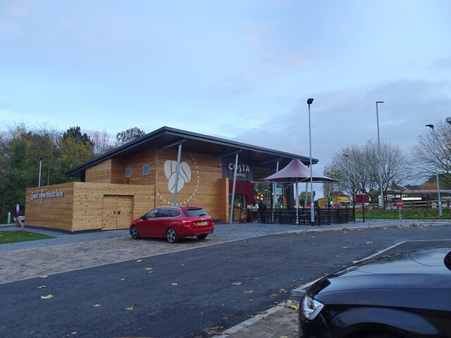
Despite its small size, West Coseley benefits from a range of local amenities. The village has a primary school, providing education for the younger residents, and a community center that hosts various events and activities. There are also several local shops, including convenience stores, a post office, and a few independent businesses.

The village is well-connected to nearby towns and cities, with good transport links. The A449 road runs through West Coseley, connecting it to Wolverhampton and Stafford. Additionally, the nearby Coseley railway station provides regular train services to Birmingham and Wolverhampton, making it convenient for commuters.

Overall, West Coseley offers a quiet and friendly community environment, ideal for those seeking a peaceful residential setting within easy reach of larger urban areas. Its scenic surroundings and local amenities make it an attractive place to live for both families and individuals.

If you have any feedback on the listing, please let us know in the comments section below.
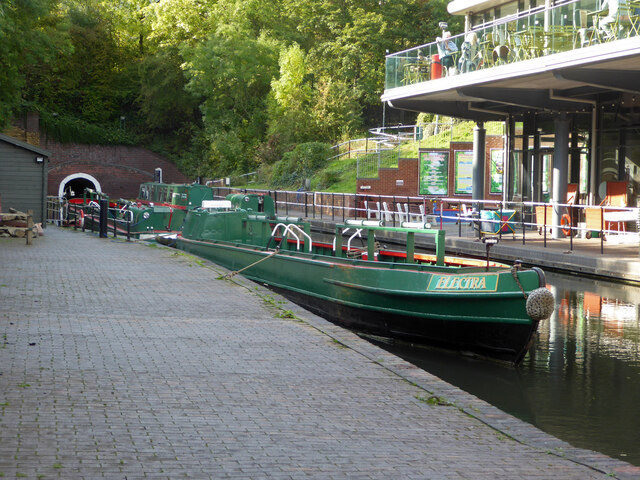
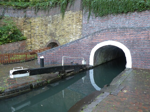
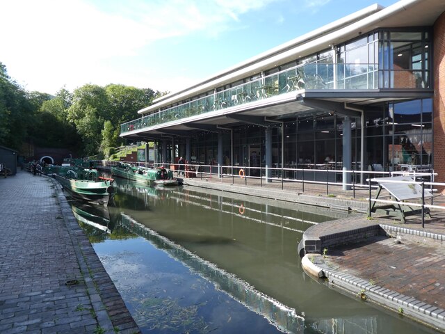
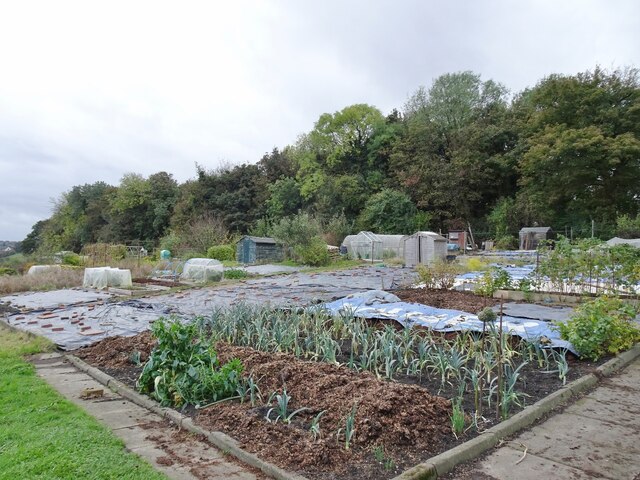
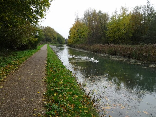
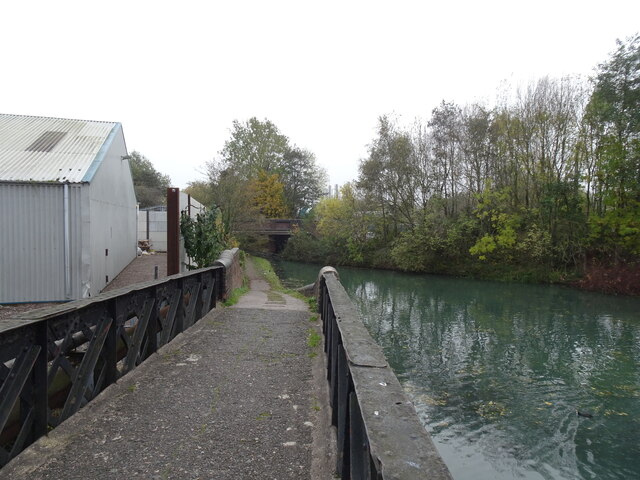
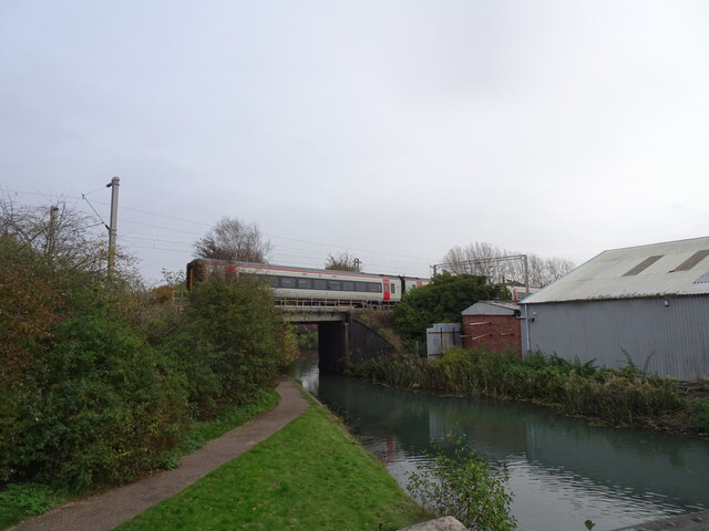
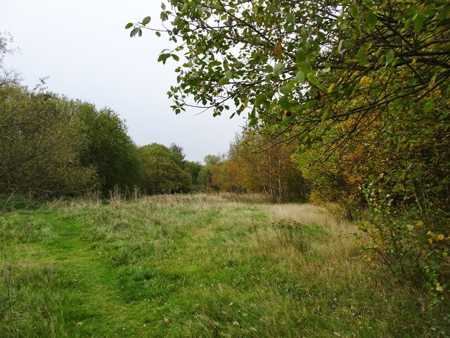
West Coseley Images

Images are sourced within 2km of 52.539198/-2.0907199 or Grid Reference SO9393. Thanks to Geograph Open Source API. All images are credited.

Dudley Canal Tunnel Next to the Black Country Living Museum. A separate trust operates boat trips into the tunnel
Dudley Canal Tunnel
Next to the Black Country Living Museum. A separate trust operates boat trips into the tunnel
Entrance portal, Dudley Canal tunnel
Dudley canal visitor centre
Allotment Scene The view of the allotments of the Coseley Allotment Society off Rock Road in Hurst Hill, Sedgley.
The view in October 2006 <a href="https://www.geograph.org.uk/photo/268668">SO9293 : Last blooms of autumn</a>.
Allotment Scene
The view of the allotments of the Coseley Allotment Society off Rock Road in Hurst Hill, Sedgley. The view in October 2006 SO9293 : Last blooms of autumn.
Rock Road Scene The view alongside the allotments of the Coseley Allotment Society off Rock Road in Hurst Hill, Sedgley.
Rock Road Scene
The view alongside the allotments of the Coseley Allotment Society off Rock Road in Hurst Hill, Sedgley.
Turls Hill Leafs The view of the lane in Hurst Hill, Sedgley.
Turls Hill Leafs
The view of the lane in Hurst Hill, Sedgley.
Turls Hill Grazing  The view off the lane in Hurst Hill, Sedgley.
Turls Hill Grazing
The view off the lane in Hurst Hill, Sedgley.
Entrance to Dudley Tunnel On the right, the headquarters of the Dudley Canal Trust, from which excursions run into the tunnel.
A short distance into the tunnel brings boats to Castle Mill Basin, a basin surrounded by cliffs but open to the sky: from here routes diverge, with one route carrying the canal through the hill towards Stourbridge and another heading deep into the hill under Wren's Nest.
Entrance to Dudley Tunnel
On the right, the headquarters of the Dudley Canal Trust, from which excursions run into the tunnel. A short distance into the tunnel brings boats to Castle Mill Basin, a basin surrounded by cliffs but open to the sky: from here routes diverge, with one route carrying the canal through the hill towards Stourbridge and another heading deep into the hill under Wren's Nest.
Swan Canal The view in Spring Vale of the Birmingham Canal in Bilston.
Swan Canal
The view in Spring Vale of the Birmingham Canal in Bilston.
Bridge Scene The view near Spring Vale of the Bridge over the Bradley Leg on the Birmingham Canal in Bilston.
Bridge Scene
The view near Spring Vale of the Bridge over the Bradley Leg on the Birmingham Canal in Bilston.
Railway Bridge The view of the Railway Bridge over the Bradley Leg Canal in Bilston.
Railway Bridge
The view of the Railway Bridge over the Bradley Leg Canal in Bilston.
Deepfield Bridge The view of the bridge over the Bradley Leg Canal.
Deepfield Bridge
The view of the bridge over the Bradley Leg Canal.
Daisy Bank Canal The view on the Bradley Leg Canal in Bilston.
Daisy Bank Canal
The view on the Bradley Leg Canal in Bilston.
Ladymoor Wood The view by the Bradley Leg Canal in Bilston.
Ladymoor Wood
The view by the Bradley Leg Canal in Bilston.
New Costa Coffee The view by the Birmingham New Road (A4123) junction with Spring Road in Woodcross, Wolverhampton.
New Costa Coffee
The view by the Birmingham New Road (A4123) junction with Spring Road in Woodcross, Wolverhampton.
Brambling Mooring View The view down the Birmingham Canal from Deepfields Junction, Bilston towards the Black Country Route Bridge.
Brambling Mooring View
The view down the Birmingham Canal from Deepfields Junction, Bilston towards the Black Country Route Bridge.
Anchor Lane Bridge View The view down the Lane from the Birmingham Canal near the Black Country Route in Coseley.
Anchor Lane Bridge View
The view down the Lane from the Birmingham Canal near the Black Country Route in Coseley.
Tipton Station Bridge, New Main Line Canal
Show me another place!

West Coseley is located at Grid Ref: SO9393 (Lat: 52.539198, Lng: -2.0907199)

Unitary Authority: Dudley

Police Authority: West Midlands

What 3 Words

///fails.mercy.mugs. Near Tipton, West Midlands

Related Wikis

Coseley railway station

Coseley railway station is located in the Coseley area of the borough of Dudley, West Midlands, England. It is situated on the Rugby-Birmingham-Stafford...

The Coseley School

The Coseley School was a mixed secondary school located in Coseley, West Midlands, England.The school closed in July 2017, in a phased closure, when the...

Woodsetton, Dudley

Woodsetton is an area of the Dudley Metropolitan Borough in the West Midlands of England, roughly 2.0 miles (3 km) northwest of Dudley Town Centre. Formerly...
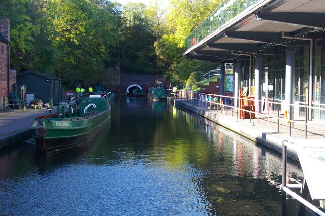
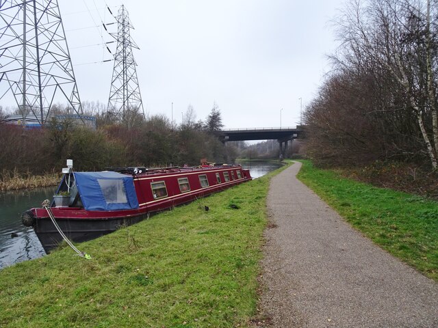
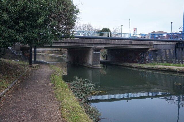
BCN Main Line

The BCN Main Line, or Birmingham Canal Navigations Main Line is the evolving route of the Birmingham Canal between Birmingham and Wolverhampton in England...

Coseley Urban District

Coseley Urban District was a local government district in Staffordshire which was created in 1894.It was made up of the villages of Brierley (now Bradley...

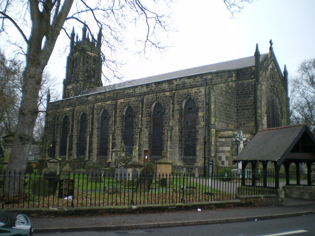
Christ Church, Coseley

Christ Church is an Anglican church in Coseley, West Midlands, England, and in the Diocese of Worcester. It was built in 1830; the interior has many additions...

Mons Hill

Mons Hill is a hill situated in Dudley, West Midlands, England. It is a wooded hill which straddles the border of Dudley and Sedgley, standing to the north...

Princes End and Coseley railway station

Princes End and Coseley railway station was a station built by the Oxford, Worcester and Wolverhampton Railway in 1853. It was one of two stations in Princes...

Nearby Amenities

Located within 500m of 52.539198,-2.0907199
Traffic Signals
Source: bing
Lat/Long: 52.5413298/-2.089918
Crossing
Crossing: traffic_signals
Crossing Markings: yes
Crossing Signals: yes
Crossing Ref: toucan
Source: bing
Lat/Long: 52.5398866/-2.0889938
Place Of Worship
Religion: christian
Lat/Long: 52.5420566/-2.0862163
Bus Stop
Vicarage Rd / The Green
Bus: yes
Naptan AtcoCode: 43004842001
Naptan Bearing: S
Naptan BusStopType: MKD
Naptan CommonName: The Green
Naptan Indicator: opp
Naptan NaptanCode: nwmtmdtp
Naptan PlusbusZoneRef: BHAMNWS
Naptan Status: ACT
Naptan StopType: BCT
Naptan Street: VICARAGE RD
Naptan Towards: Dudley
Naptan Verified: no
Public Transport: platform
Route Ref: 81
Source: WMCA
Wheelchair: yes
Lat/Long: 52.5387663/-2.0880026
Bus Stop
Vicarage Rd / The Green
Bus: yes
Naptan AtcoCode: 43004842002
Naptan Bearing: N
Naptan BusStopType: MKD
Naptan CommonName: The Green
Naptan Indicator: adj
Naptan NaptanCode: nwmtmagw
Naptan PlusbusZoneRef: BHAMNWS
Naptan Status: ACT
Naptan StopType: BCT
Naptan Street: VICARAGE RD
Naptan Towards: Coseley
Naptan Verified: no
Public Transport: platform
Route Ref: 81
Source: WMCA
Wheelchair: yes
Lat/Long: 52.5393369/-2.0881371
Bus Stop
Castle St / Roseville Square
NaPTANAreaCode: 43000863302
Bus: yes
Naptan AtcoCode: 43000863302
Naptan Bearing: SW
Naptan BusStopType: MKD
Naptan CommonName: Roseville Square
Naptan Indicator: adj
Naptan NaptanCode: nwmjwtdj
Naptan PlusbusZoneRef: BHAMNWS
Naptan Status: ACT
Naptan StopType: BCT
Naptan Street: CASTLE ST
Naptan Towards: Dudley
Naptan Verified: no
Public Transport: platform
Route Ref: 22;81;82;229
Shelter: yes
Shelter Ref: 404216
Source: WMCA
Wheelchair: yes
Lat/Long: 52.5418557/-2.0877192
Bus Stop
Castle St / Vicarage Rd
NaPTANAreaCode: 43000863402
Bus: yes
Naptan AtcoCode: 43000863402
Naptan Bearing: S
Naptan BusStopType: MKD
Naptan CommonName: Vicarage Rd
Naptan Indicator: before
Naptan NaptanCode: nwmjwtdp
Naptan PlusbusZoneRef: BHAMNWS
Naptan Status: ACT
Naptan StopType: BCT
Naptan Street: CASTLE ST
Naptan Towards: Dudley
Naptan Verified: no
Public Transport: platform
Route Ref: 22;81;82;229
Shelter: yes
Shelter Ref: 404240
Source: WMCA
Wheelchair: yes
Lat/Long: 52.5401026/-2.0878632
Bus Stop
Ivyhouse Lane / Hampton St
Bus: yes
Naptan AtcoCode: 43000865101
Naptan Bearing: SW
Naptan BusStopType: MKD
Naptan CommonName: Hampton St
Naptan Indicator: adj
Naptan NaptanCode: nwmjwtgt
Naptan PlusbusZoneRef: BHAMNWS
Naptan Status: ACT
Naptan StopType: BCT
Naptan Street: IVYHOUSE LANE
Naptan Towards: Wolverhampton
Naptan Verified: no
Public Transport: platform
Route Ref: 81
Source: WMCA
Lat/Long: 52.5415117/-2.0943907
Bus Stop
Ivyhouse Lane / Hampton St
Bus: yes
Naptan AtcoCode: 43000865102
Naptan Bearing: NE
Naptan BusStopType: MKD
Naptan CommonName: Hampton St
Naptan Indicator: opp
Naptan NaptanCode: nwmjwtgw
Naptan PlusbusZoneRef: BHAMNWS
Naptan Status: ACT
Naptan StopType: BCT
Naptan Street: IVYHOUSE LANE
Naptan Towards: Coseley
Naptan Verified: no
Public Transport: platform
Route Ref: 81
Source: WMCA
Lat/Long: 52.5416718/-2.0942553
Bus Stop
Ivyhouse Lane / Mount Pleasant
Bus: yes
Naptan AtcoCode: 43000865201
Naptan Bearing: SW
Naptan BusStopType: MKD
Naptan CommonName: Mount Pleasant
Naptan Indicator: adj
Naptan NaptanCode: nwmjwtja
Naptan PlusbusZoneRef: BHAMNWS
Naptan Status: ACT
Naptan StopType: BCT
Naptan Street: IVYHOUSE LANE
Naptan Towards: Wolverhampton
Naptan Verified: no
Public Transport: platform
Route Ref: 81
Source: WMCA
Lat/Long: 52.542625/-2.0928374
Bus Stop
Ivyhouse Lane / Mount Pleasant
Bus: yes
Naptan AtcoCode: 43000865202
Naptan Bearing: NE
Naptan BusStopType: MKD
Naptan CommonName: Mount Pleasant
Naptan Indicator: opp
Naptan NaptanCode: nwmjwtjd
Naptan PlusbusZoneRef: BHAMNWS
Naptan Status: ACT
Naptan StopType: BCT
Naptan Street: IVYHOUSE LANE
Naptan Towards: Coseley
Naptan Verified: no
Public Transport: platform
Route Ref: 81
Source: WMCA
Lat/Long: 52.5426699/-2.092926
Bus Stop
Birmingham New Rd / Bank St
NaPTANAreaCode: 43000865401
Bus: yes
Naptan AtcoCode: 43000865401
Naptan Bearing: NW
Naptan BusStopType: MKD
Naptan CommonName: Bank St
Naptan Indicator: adj
Naptan NaptanCode: nwmjwtjp
Naptan PlusbusZoneRef: BHAMNWS
Naptan Status: ACT
Naptan StopType: BCT
Naptan Street: BIRMINGHAM NEW RD
Naptan Towards: Wolverhampton
Public Transport: platform
Route Ref: 22;126
Shelter: yes
Shelter Ref: 404238
Source: WMCA
Lat/Long: 52.5419443/-2.0904595
Bus Stop
Birmingham New Rd / Bank St
NaPTANAreaCode: 43000865402
Asset Ref: 404239
Bus: yes
Naptan AtcoCode: 43000865402
Naptan Bearing: SE
Naptan BusStopType: MKD
Naptan CommonName: Bank St
Naptan Indicator: after
Naptan NaptanCode: nwmjwtjt
Naptan PlusbusZoneRef: BHAMNWS
Naptan Status: ACT
Naptan StopType: BCT
Naptan Street: BIRMINGHAM NEW RD
Naptan Towards: Dudley
Public Transport: platform
Route Ref: 22;126
Shelter: yes
Shelter Ref: 404239
Source: WMCA
Towards: Dudley
Lat/Long: 52.5412465/-2.0896141
Bus Stop
Mason St / Hospital Lane
Bus: yes
Naptan AtcoCode: 43000865501
Naptan Bearing: N
Naptan BusStopType: MKD
Naptan CommonName: Hospital Lane
Naptan Indicator: adj
Naptan NaptanCode: nwmjwtjw
Naptan PlusbusZoneRef: BHAMNWS
Naptan Status: ACT
Naptan StopType: BCT
Naptan Street: MASON ST
Naptan Towards: Coseley
Naptan Verified: no
Public Transport: platform
Route Ref: 82
Source: WMCA
Wheelchair: yes
Lat/Long: 52.5391023/-2.0909722
Bus Stop
Mason St / Hospital Lane
Bus: yes
Naptan AtcoCode: 43000865502
Naptan Bearing: S
Naptan BusStopType: MKD
Naptan CommonName: Hospital Lane
Naptan Indicator: opp
Naptan NaptanCode: nwmjwtma
Naptan PlusbusZoneRef: BHAMNWS
Naptan Status: ACT
Naptan StopType: BCT
Naptan Street: MASON ST
Naptan Towards: Dudley
Naptan Verified: no
Public Transport: platform
Route Ref: 82
Source: WMCA
Wheelchair: yes
Lat/Long: 52.5391115/-2.0907511
Bus Stop
Birmingham New Rd / Oak Street
Bus: yes
Layby: yes
Naptan AtcoCode: 43000865601
Naptan Bearing: S
Naptan BusStopType: MKD
Naptan Indicator: adj
Naptan NaptanCode: nwmjwtmd
Naptan PlusbusZoneRef: BHAMNWS
Naptan Status: ACT
Naptan StopType: BCT
Naptan Street: BIRMINGHAM NEW RD
Naptan Towards: Dudley
Public Transport: platform
Route Ref: 126
Shelter: no
Source: WMCA
Towards: Dudley
Wheelchair: yes
Lat/Long: 52.5377362/-2.0881522
Bus Stop
Chad Rd / Wellesbourne Drive
Bus: yes
Naptan AtcoCode: 43000866601
Naptan Bearing: SW
Naptan BusStopType: MKD
Naptan CommonName: Wellesbourne Drive
Naptan Indicator: adj
Naptan NaptanCode: nwmjwtpj
Naptan PlusbusZoneRef: BHAMNWS
Naptan Status: ACT
Naptan StopType: BCT
Naptan Street: CHAD RD
Naptan Towards: Dudley
Naptan Verified: no
Public Transport: platform
Route Ref: 82
Source: WMCA
Wheelchair: limited
Lat/Long: 52.5369694/-2.0937838
Bus Stop
Chad Rd / Wellesbourne Drive
Bus: yes
Naptan AtcoCode: 43000866602
Naptan Bearing: NE
Naptan BusStopType: MKD
Naptan CommonName: Wellesbourne Drive
Naptan Indicator: opp
Naptan NaptanCode: nwmjwtpm
Naptan PlusbusZoneRef: BHAMNWS
Naptan Status: ACT
Naptan StopType: BCT
Naptan Street: CHAD RD
Naptan Towards: Coseley
Naptan Verified: no
Public Transport: platform
Route Ref: 82
Source: WMCA
Wheelchair: yes
Lat/Long: 52.5372304/-2.0934158
Bus Stop
Park Rd / Chad Rd
NaPTANAreaCode: 43000866702
Bus: yes
Naptan AtcoCode: 43000866702
Naptan Bearing: N
Naptan BusStopType: MKD
Naptan CommonName: Chad Rd
Naptan Indicator: opp
Naptan NaptanCode: nwmjwtpw
Naptan PlusbusZoneRef: BHAMNWS
Naptan Status: ACT
Naptan StopType: BCT
Naptan Street: PARK RD
Naptan Towards: Coseley
Naptan Verified: no
Public Transport: platform
Route Ref: 82
Shelter: yes
Shelter Ref: 404236
Source: WMCA
Lat/Long: 52.5359251/-2.0956835
Bus Stop
Birmingham New Rd / Conway Close
NaPTANAreaCode: 43000868202
Bus: yes
Naptan AtcoCode: 43000868202
Naptan Bearing: N
Naptan BusStopType: MKD
Naptan CommonName: Conway Close
Naptan Indicator: opp
Naptan NaptanCode: nwmpadgt
Naptan PlusbusZoneRef: BHAMNWS
Naptan Status: ACT
Naptan StopType: BCT
Naptan Street: BIRMINGHAM NEW RD
Naptan Towards: Wolverhampton
Naptan Verified: no
Public Transport: platform
Route Ref: 126
Shelter: yes
Shelter Ref: 404215
Source: WMCA
Lat/Long: 52.5352678/-2.0876062
Bus Stop
Vicarage Rd West / Patricia Crescent
Bus: yes
Naptan AtcoCode: 43000868701
Naptan Bearing: NE
Naptan BusStopType: MKD
Naptan CommonName: Patricia Crescent
Naptan Indicator: adj
Naptan NaptanCode: nwmpadma
Naptan PlusbusZoneRef: BHAMNWS
Naptan Status: ACT
Naptan StopType: BCT
Naptan Street: VICARAGE RD WEST
Naptan Towards: Coseley
Naptan Verified: no
Public Transport: platform
Route Ref: 81
Source: WMCA
Lat/Long: 52.5360657/-2.0882237
Bench
Backrest: yes
Lat/Long: 52.5392619/-2.0883839
Bench
Backrest: yes
Lat/Long: 52.5392023/-2.0882088
Crossing
Crossing: traffic_signals
Crossing Markings: yes
Crossing Signals: yes
Crossing Ref: toucan
Source: bing
Lat/Long: 52.5397945/-2.0887894
Traffic Signals
Source: bing
Lat/Long: 52.5416218/-2.0899966
Crossing
Crossing: traffic_signals
Crossing Markings: yes
Crossing Signals: yes
Crossing Ref: toucan
Lat/Long: 52.5413904/-2.0898111
Crossing
Crossing: unmarked
Crossing Island: no
Crossing Markings: no
Kerb: lowered
Lat/Long: 52.5407116/-2.0892204
Fast Food
McDonald's
Addr Postcode: WV14 9JH
Addr Street: Birmingham New Road
Brand: McDonald's
Brand Wikidata: Q38076
Brand Wikipedia: en:McDonald's
Contact Website: https://www.mcdonalds.com/gb/en-gb/location/bilston/coseley/birmingham-new-road/8260743.html
Cuisine: burger
Drive Through: yes
Fhrs Id: 744529
Takeaway: yes
Lat/Long: 52.5430257/-2.0905843
Fuel
BP
Brand: BP
Brand Wikidata: Q152057
Brand Wikipedia: en:BP
Operator: BP
Lat/Long: 52.5434831/-2.090864
Barrier: bollard
Bicycle: yes
Foot: yes
Lat/Long: 52.5411489/-2.0953204
Crossing
Crossing: traffic_signals
Crossing Island: no
Crossing Markings: yes
Crossing Signals: yes
Crossing Ref: toucan
Tactile Paving: no
Lat/Long: 52.5432124/-2.0909307
Crossing
Bicycle: yes
Crossing: traffic_signals
Crossing Markings: yes
Crossing Signals: yes
Crossing Ref: toucan
Source: bing
Lat/Long: 52.5397413/-2.089265
Noexit: yes
Source: bing
Lat/Long: 52.5415591/-2.0872871
Noexit: yes
Source: bing
Lat/Long: 52.5415546/-2.0870006
Noexit: yes
Lat/Long: 52.5399113/-2.0888134
Roseville
Place: locality
Source: OS_OpenData_StreetView
Lat/Long: 52.5424926/-2.0915536
Turning Circle
Source: bing
Lat/Long: 52.5398162/-2.0967441
Bramford
Place: locality
Source: OS_OpenData_StreetView
Lat/Long: 52.5357047/-2.0905107
West Coseley
Place: locality
Source: OS_OpenData_StreetView
Lat/Long: 52.5385493/-2.0906507
Turning Circle
Source: bing
Lat/Long: 52.5356194/-2.0911427
Coseley War Memorial
Historic: memorial
Lat/Long: 52.5391822/-2.0883473
Atm
Fee: no
Wheelchair: yes
Lat/Long: 52.5402589/-2.0880579
Atm
Fee: no
Lat/Long: 52.5416585/-2.089678
Atm
Fee: no
Lat/Long: 52.5435736/-2.0907669
Drinking Water
Wheelchair: yes
Lat/Long: 52.5376226/-2.0909118
Toilets
Access: yes
Addr City: Dudley
Addr Place: Coseley
Addr Postcode: WV14 9SZ
Addr Street: Birmingham New Road
Automatic Public Convenience: no
Changing Table: no
Fee: no
Opening Hours: Mo-Su 09:00-16:00
Operator: Parks Development, Directorate of Place, Dudley MBC
Radar Key Needed: yes
Source: Dudley MBC
Source Extractdate: 30/09/2016
Supervised: no
Unisex: yes
Uprn: 90212958
Wheelchair: yes
Lat/Long: 52.5376454/-2.0908528
Shelter
Shelter Type: weather_shelter
Lat/Long: 52.5377025/-2.0897477
Leisure: playground
Wheelchair: yes
Lat/Long: 52.5385035/-2.0905148
Tourism: information
Lat/Long: 52.5376046/-2.0908447
Tourism: picnic_site
Lat/Long: 52.5384122/-2.0906784
Parking
Wheelchair: yes
Lat/Long: 52.5414008/-2.0874356
Post Office
Coseley Post Office
Addr City: Wolverhampton
Addr Housenumber: 23
Addr Place: Coseley
Addr Postcode: WV14 9DP
Addr Street: Castle Street
Addr Village: Coseley
Brand: Post Office
Brand Wikidata: Q1783168
Opening Hours: Mo-Fr 09:00-17:30; Sa 09:00-13:30
Ref Pol Id: 4399
Website: https://www.postoffice.co.uk/branch-finder/1692461/coseley
Wheelchair: limited
Lat/Long: 52.5402752/-2.0881679
Parking
Lat/Long: 52.5406439/-2.0873498
Parking
Lat/Long: 52.5401545/-2.0875322
Parking
Lat/Long: 52.540484/-2.0885192
Parking
Wheelchair: yes
Lat/Long: 52.5377596/-2.091003
Post Box
Lat/Long: 52.5403176/-2.0880767
Recycling
Lat/Long: 52.5416422/-2.0873444
Pub
Apple Tree
Addr Housenumber: 5
Addr Postcode: WV14 9EW
Addr Street: Central Drive
Fhrs Id: 500250
Source Addr: FHRS Open Data
Wheelchair: yes
Lat/Long: 52.5397597/-2.0869689
Post Box
Lat/Long: 52.5377335/-2.0925587
Power: substation
Substation: minor_distribution
Lat/Long: 52.5399555/-2.0893507
Pub
The Royal
Addr Housenumber: 54
Addr Postcode: WV14 9DP
Addr Street: Castle Street
Fhrs Id: 500242
Operator: Stonegate
Operator Wikidata: Q7619176
Source Addr: FHRS Open Data
Website: https://www.craftunionpubs.com/the-royal-hotel-bilston
Wheelchair: limited
Lat/Long: 52.5408592/-2.0882349
Pub
The Chainyards
Addr Housenumber: 63
Addr Postcode: WV14 9DW
Addr Street: Castle Street
Fhrs Id: 975879
Source Addr: FHRS Open Data
Lat/Long: 52.5421886/-2.087717
Crossing
Crossing: unmarked
Crossing Island: no
Crossing Markings: no
Kerb: lowered
Tactile Paving: no
Lat/Long: 52.5362927/-2.0880301
Traffic Signals
Source: bing
Lat/Long: 52.5395934/-2.0890194
Traffic Signals
Source: bing
Lat/Long: 52.5413886/-2.0901181
Traffic Signals
Source: bing
Lat/Long: 52.5415635/-2.0897438
Traffic Signals
Source: bing
Lat/Long: 52.5430171/-2.091064
Crossing
Crossing: traffic_signals
Crossing Markings: yes
Crossing Signals: yes
Crossing Ref: toucan
Source: bing
Lat/Long: 52.5431206/-2.0913886
Traffic Signals
Source: bing
Lat/Long: 52.5432299/-2.0908768
Traffic Signals
Source: bing
Lat/Long: 52.5433272/-2.0911399
Noexit: yes
Lat/Long: 52.5426016/-2.0927816
Turning Circle
Source: bing
Lat/Long: 52.5383126/-2.0863553
Crossing
Crossing: uncontrolled
Source: bing
Lat/Long: 52.536029/-2.0955358
Vending Machine
Bank St
Category: Stop
Mode: Bus
Naptan: 43000475102
Operator: TfWM
Payment: no
Postal Code: WV14 9JL
Public Transport Ticket: Swift Card
Shelter: 404238
Source: TfWM
Top Up: yes
Vending: public_transport_tickets
Lat/Long: 52.541922/-2.0904454
Bus Stop
Green St / Canal Street
NaPTANAreaCode: 43008634501
Bus: yes
Naptan AtcoCode: 43008634501
Naptan Bearing: N
Naptan BusStopType: MKD
Naptan CommonName: Canal Street
Naptan Indicator: after
Naptan NaptanCode: nwmwdawm
Naptan Status: ACT
Naptan StopType: BCT
Naptan Street: GREEN ST
Naptan Towards: Bilston
Public Transport: platform
Route Ref: 81;82;229
Shelter: yes
Shelter Ref: 8634501
Source: WMCA
Lat/Long: 52.5409719/-2.0872015
Barrier: bollard
Lat/Long: 52.5422676/-2.0936216
Barrier: bollard
Lat/Long: 52.5427834/-2.0941769
Parking
Coseley Library Car Park
Access: customers
Lat/Long: 52.5416935/-2.0874918
Crossing
Lat/Long: 52.5435264/-2.0911282
Generator Method: photovoltaic
Generator Output Electricity: yes
Generator Source: solar
Generator Type: solar_photovoltaic_panel
Location: roof
Power: generator
Lat/Long: 52.5410628/-2.0923349
Crossing
Crossing: traffic_signals
Crossing Markings: yes
Crossing Signals: yes
Crossing Ref: toucan
Lat/Long: 52.539878/-2.0891244
Crossing
Crossing: traffic_signals
Crossing Markings: yes
Crossing Signals: yes
Crossing Ref: toucan
Lat/Long: 52.5396275/-2.0890335
Crossing
Crossing: traffic_signals
Crossing Markings: yes
Crossing Signals: yes
Crossing Ref: toucan
Lat/Long: 52.5396444/-2.0889062
Crossing
Crossing: traffic_signals
Crossing Markings: yes
Crossing Signals: yes
Crossing Ref: toucan
Lat/Long: 52.5430463/-2.0910833
Crossing
Crossing: traffic_signals
Crossing Markings: yes
Crossing Signals: yes
Crossing Ref: toucan
Lat/Long: 52.5430787/-2.0909757
Crossing
Crossing: traffic_signals
Crossing Markings: yes
Crossing Signals: yes
Crossing Ref: toucan
Lat/Long: 52.5433059/-2.0911268
Crossing
Crossing: traffic_signals
Crossing Markings: yes
Crossing Signals: yes
Crossing Ref: toucan
Lat/Long: 52.5432714/-2.091237
Crossing
Crossing: traffic_signals
Crossing Markings: yes
Crossing Signals: yes
Crossing Ref: toucan
Lat/Long: 52.541347/-2.0899299
Cycleway: asl
Direction: forward
Lat/Long: 52.5413687/-2.09016
Cycleway: asl
Direction: forward
Lat/Long: 52.5415872/-2.0896946
Fixme: What is this?
Shop: yes
Lat/Long: 52.5423066/-2.0901583
Fast Food
Domino's
Brand: Domino's
Brand Wikidata: Q839466
Cuisine: pizza
Takeaway: yes
Lat/Long: 52.5423474/-2.0901838
Fast Food
Subway
Brand: Subway
Brand Wikidata: Q244457
Cuisine: sandwich
Takeaway: yes
Lat/Long: 52.5424062/-2.0902173
The data included in this document is from www.openstreetmap.org. The data is made available under ODbL.

Have you been to West Coseley?

Leave your review of West Coseley below (or comments, questions and feedback).