Bramerton

Settlement in Norfolk South Norfolk

England

Bramerton

Corn cockles in a wild flower meadow The corn cockle, (Agrostemma githago) is a plant of cultivated cornfields and  evidence suggests that it was first brought to Britain from Europe by Iron Age farmers, some 2,400 years ago. Never ever having been as common in farmers'  fields as poppies or corn marigold it was considered a serious weed in the 16th century. With the advent of herbicides it began to decline and is now exceptionally rare as a cornfield flower. These days it is however often sold in  wildflower seed mixes.
Corn cockles in a wild flower meadow Credit: Evelyn Simak

Bramerton is a charming village located in the South Norfolk district of Norfolk county, England. Situated on the southern bank of the River Yare, it lies approximately 7 miles southeast of the city of Norwich. The village is surrounded by picturesque countryside, offering residents and visitors a peaceful and idyllic setting.

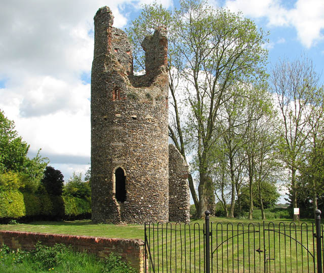
Bramerton is known for its rich history, dating back to Roman times when it was an important settlement. Today, remnants of its past can still be seen in the form of ancient earthworks and archaeological finds. The village is home to several historic buildings, including the Grade II listed St Peter's Church, which dates back to the 12th century.

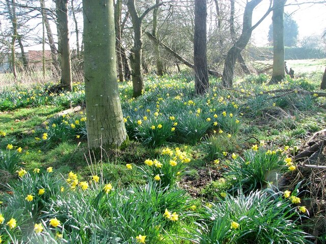
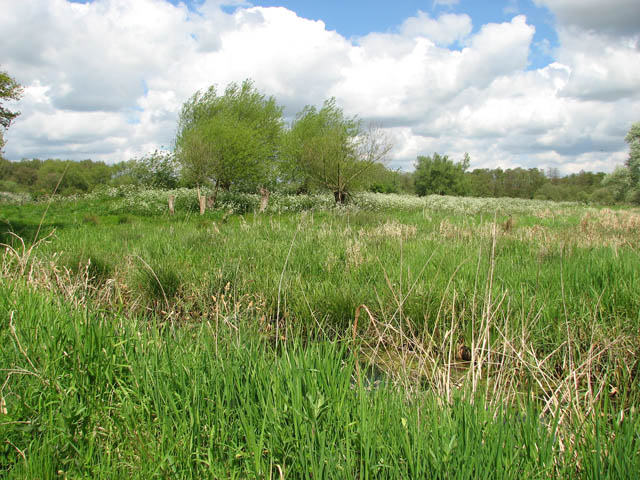
Despite its small size, Bramerton offers a range of amenities and attractions. The village boasts a popular pub, The Woods End, where locals and visitors can enjoy a drink or a meal while taking in the scenic views of the river. Nature enthusiasts can explore the nearby Bramerton Woods, a designated Site of Special Scientific Interest, which is home to a diverse range of flora and fauna.

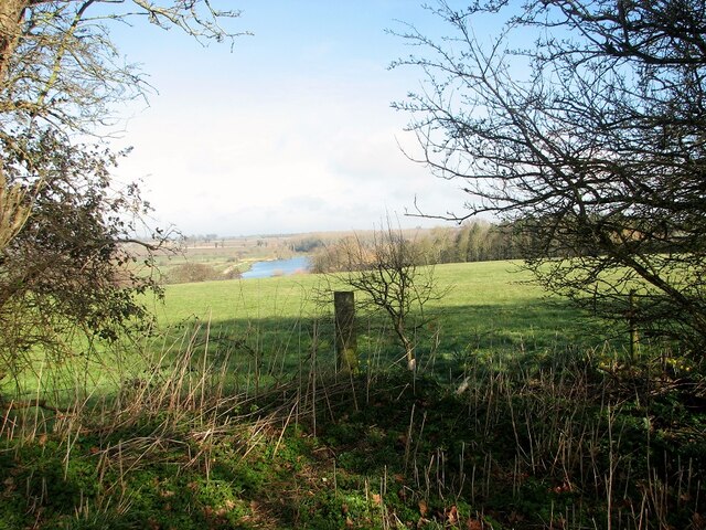
The River Yare provides ample opportunities for water-based activities such as boating, fishing, and canoeing. Many visitors are drawn to Bramerton for its peaceful riverside walks and scenic boat trips along the Norfolk Broads, a national park renowned for its natural beauty.

Overall, Bramerton is a quaint village that offers a tranquil escape from the hustle and bustle of city life, showcasing the natural beauty and historical significance of the Norfolk countryside.

If you have any feedback on the listing, please let us know in the comments section below.
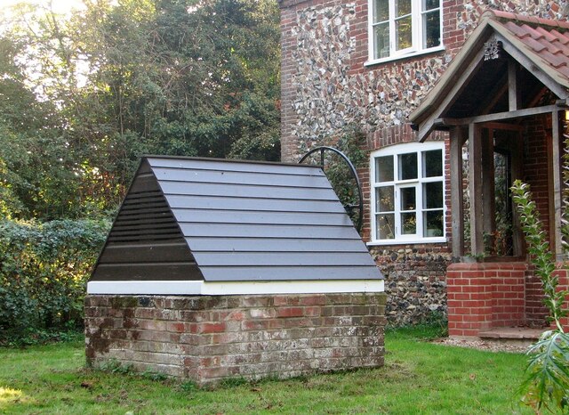
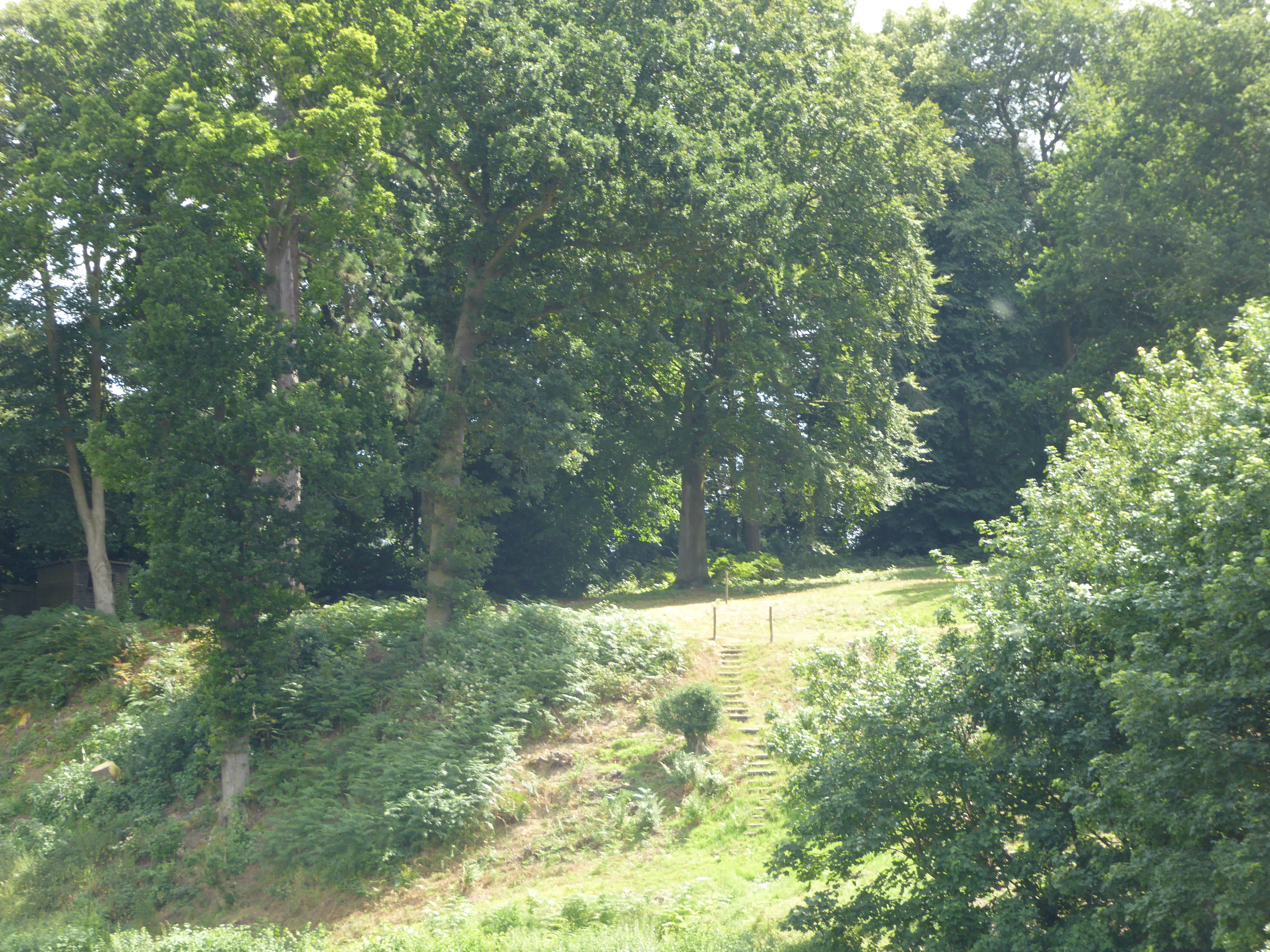
Bramerton Images

Images are sourced within 2km of 52.597425/1.388075 or Grid Reference TG2905. Thanks to Geograph Open Source API. All images are credited.

Corn cockles in a wild flower meadow The corn cockle, (Agrostemma githago) is a plant of cultivated cornfields and  evidence suggests that it was first brought to Britain from Europe by Iron Age farmers, some 2,400 years ago. Never ever having been as common in farmers'  fields as poppies or corn marigold it was considered a serious weed in the 16th century. With the advent of herbicides it began to decline and is now exceptionally rare as a cornfield flower. These days it is however often sold in  wildflower seed mixes.
Corn cockles in a wild flower meadow
The corn cockle, (Agrostemma githago) is a plant of cultivated cornfields and evidence suggests that it was first brought to Britain from Europe by Iron Age farmers, some 2,400 years ago. Never ever having been as common in farmers' fields as poppies or corn marigold it was considered a serious weed in the 16th century. With the advent of herbicides it began to decline and is now exceptionally rare as a cornfield flower. These days it is however often sold in wildflower seed mixes.
Wildflower meadow Some of the flowers growing here are corn cockles  <a title="https://www.geograph.org.uk/photo/7216087" href="https://www.geograph.org.uk/photo/7216087">Link</a> and corn flowers as well as marguerites.
Wildflower meadow
Some of the flowers growing here are corn cockles Link and corn flowers as well as marguerites.
Meadow with marguerites
Flower meadow with corn cockles For a closer view of corn cockles and some information see > <a title="https://www.geograph.org.uk/photo/7216087" href="https://www.geograph.org.uk/photo/7216087">Link</a>
Flower meadow with corn cockles
For a closer view of corn cockles and some information see > Link
Covered well in the garden of Flint Cottage For a wider view of this location see > <a title="https://www.geograph.org.uk/photo/1280708" href="https://www.geograph.org.uk/photo/1280708">Link</a>.
Covered well in the garden of Flint Cottage
For a wider view of this location see > Link.
Daffodil Wood A small copse surrounded by fields, colonised by daffdils.
Daffodil Wood
A small copse surrounded by fields, colonised by daffdils.
Small pond by Hill Farm This is no longer a working farm, but various outbuildings still exist.
Small pond by Hill Farm
This is no longer a working farm, but various outbuildings still exist.
Old oak tree and hedge flanking a farm track
Old hawthorn hedge The hedge forms a field boundary.
Old hawthorn hedge
The hedge forms a field boundary.
The River Yare As seen from a permissive path.
The River Yare
As seen from a permissive path.
Gnarly old oak tree
Gnarly old oak tree
Fields north of the River Yare Note the clusters of daffodils in this field, which during the summer months contains ewes and their lambs.
Fields north of the River Yare
Note the clusters of daffodils in this field, which during the summer months contains ewes and their lambs.
Permissive path along a field's edge
Old oak growing on a field boundary
Fields and woodland by the River Yare
Daffodils in a copse above the River Yare
Art installation at Rookery Hill, Rockland St Mary Advertising the "Celebrating Arts in the Broads" festival: Rockland St. Mary and Surlingham villages, for the first time, are organising a celebration of their Broads' ecological diversity and local artistic abilities.
Art installation at Rookery Hill, Rockland St Mary
Advertising the "Celebrating Arts in the Broads" festival: Rockland St. Mary and Surlingham villages, for the first time, are organising a celebration of their Broads' ecological diversity and local artistic abilities.
Rockland St Mary village sign The art installation seen in the background advertises the "Celebrating Arts in the Broads" festival: Rockland St. Mary and Surlingham villages, for the first time, are organising a celebration of their Broads' ecological diversity and local artistic abilities.
Rockland St Mary village sign
The art installation seen in the background advertises the "Celebrating Arts in the Broads" festival: Rockland St. Mary and Surlingham villages, for the first time, are organising a celebration of their Broads' ecological diversity and local artistic abilities.
Show me another place!

Bramerton is located at Grid Ref: TG2905 (Lat: 52.597425, Lng: 1.388075)

Administrative County: Norfolk

District: South Norfolk

Police Authority: Norfolk

What 3 Words

///fond.disbanded.rooms. Near Poringland, Norfolk

Related Wikis

Bramerton

Bramerton is a village in South Norfolk 4¾ miles (7½ km) south-east of Norwich, just north of the main A146 Norwich-Lowestoft road and on the south bank...

Bramerton Pits

Bramerton Pits is a 0.7-hectare (1.7-acre) geological Site of Special Scientific Interest north of the village of Bramerton in Norfolk on the southern...

Kirby Bedon

Kirby Bedon is a hamlet in South Norfolk which lies approximately 3½ miles (5½ km) south-east of Norwich on the road to Bramerton. It covers an area of...

Surlingham Church Marsh RSPB reserve

Surlingham Church Marsh is a small RSPB nature reserve in the Norfolk Broads, England. It is part of Yare Broads and Marshes Site of Special Scientific...

Nearby Amenities

Located within 500m of 52.597425,1.388075
Post Box
Postal Code: NR14
Ref: NR14 1434
Lat/Long: 52.597863/1.3887499
Bus Stop
Hall, adj
Naptan AtcoCode: 2900B411
Naptan Bearing: SE
Naptan CommonName: Hall
Naptan Indicator: adj
Naptan Landmark: Kirby Lane
Naptan Locality: Bramerton
Naptan NaptanCode: nfoagdma
Naptan Street: The Street
Naptan Verified: no
Source: naptan_import
Lat/Long: 52.5943757/1.3860599
Bus Stop
Hall, opp
Bench: yes
Naptan AtcoCode: 2900B412
Naptan Bearing: W
Naptan CommonName: Hall
Naptan Indicator: opp
Naptan Landmark: bus shelter
Naptan Locality: Bramerton
Naptan NaptanCode: nfoagdmd
Naptan ShortCommonName: Hall
Naptan Street: Surlingham Lane
Naptan Verified: no
Note: Position verified
Shelter: yes
Source: naptan_import
Lat/Long: 52.5946398/1.3846172
Bramerton
Place: village
Postal Code: NR14
Wikidata: Q1893047
Wikipedia: en:Bramerton
Lat/Long: 52.5941302/1.3879452
Bramerton
Inscription: AD.2001
Man Made: village_sign
Material: wood
Start Date: 2017-10
Lat/Long: 52.5947167/1.3855824
Give Way
Lat/Long: 52.5975009/1.3879859
Give Way
Direction: backward
Lat/Long: 52.5948293/1.3857251
Give Way
Direction: forward
Lat/Long: 52.5947417/1.3854434
Give Way
Direction: forward
Lat/Long: 52.5946464/1.3856654
Leisure: picnic_table
Lat/Long: 52.5978214/1.3878594
Bench
Backrest: no
Material: wood
Seats: 2
Lat/Long: 52.5985097/1.3878058
Bench
Backrest: yes
Material: wood
Seats: 3
Lat/Long: 52.5986572/1.3869475
Bench
Backrest: yes
Material: wood
Seats: 3
Lat/Long: 52.597696/1.3878313
Bench
Backrest: yes
Material: wood
Seats: 3
Lat/Long: 52.5981684/1.3874833
Bench
Backrest: yes
Colour: brown
Material: plastic
Seats: 3
Lat/Long: 52.6011342/1.3881263
Give Way
Lat/Long: 52.5976341/1.3882521
Give Way
Lat/Long: 52.5977389/1.3885014
Power: pole
Lat/Long: 52.5985936/1.3907039
Power: pole
Lat/Long: 52.5987394/1.3911847
Power: pole
Lat/Long: 52.59897/1.3919156
Power: pole
Lat/Long: 52.599418/1.3933419
Power: pole
Lat/Long: 52.5991997/1.3926566
The data included in this document is from www.openstreetmap.org. The data is made available under ODbL.

Have you been to Bramerton?

Leave your review of Bramerton below (or comments, questions and feedback).