Bramerton
Civil Parish in Norfolk South Norfolk
England
Bramerton

Bramerton is a civil parish located in the county of Norfolk, England. It lies on the southern bank of the River Yare, approximately 8 miles southeast of the city of Norwich. The parish covers an area of about 8 square kilometers and has a population of around 500 people.
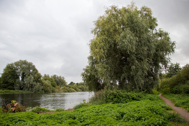
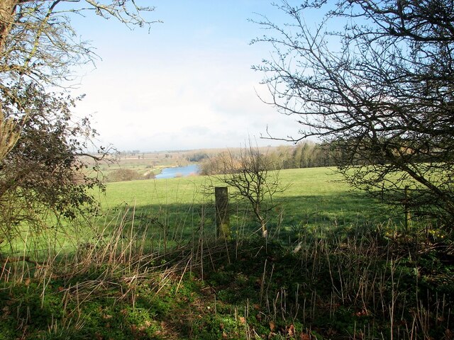
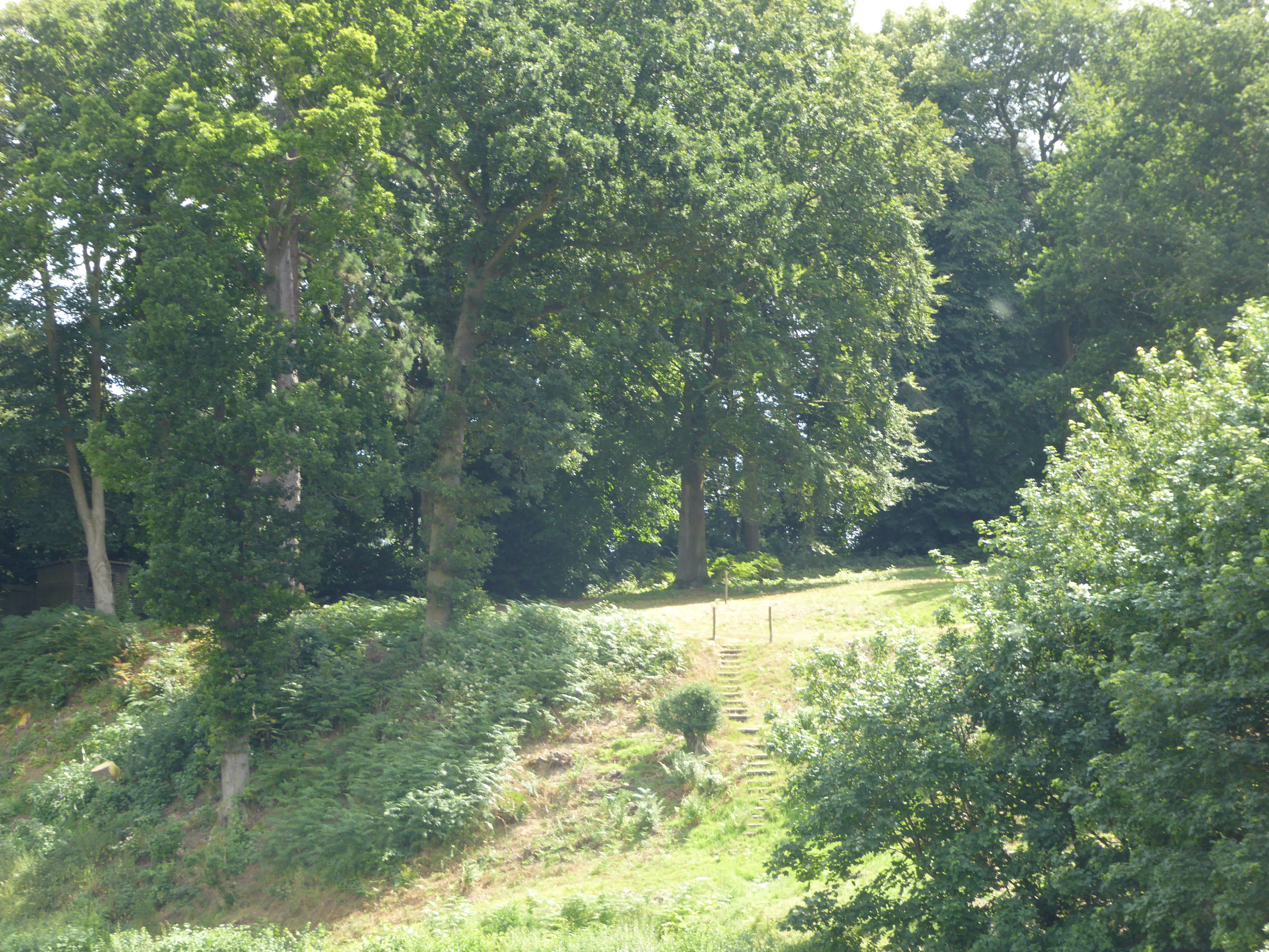
The village of Bramerton is known for its picturesque setting and tranquil atmosphere. It is surrounded by beautiful countryside, with rolling hills and meandering waterways. The River Yare, which flows through the village, provides numerous opportunities for boating, fishing, and other water-based activities.
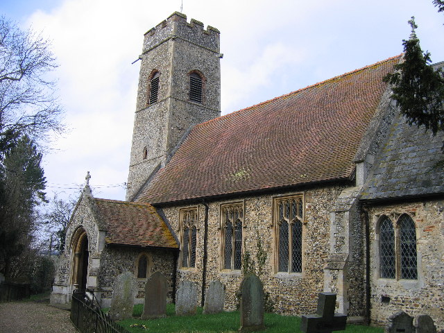
Bramerton has a rich history, with evidence of human settlement dating back to the Roman era. The village is home to several historic buildings, including the St. Peter's Church, which dates back to the 13th century. The church is known for its impressive stained glass windows and intricate stone carvings.
In terms of amenities, Bramerton offers a range of facilities for residents and visitors. These include a village hall, a primary school, a pub, and a marina. The village is well-connected to nearby towns and cities, with regular bus services and easy access to major road networks.
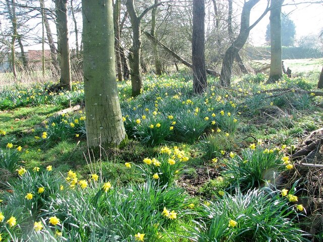
Bramerton is also a popular destination for tourists, who are attracted by its natural beauty and recreational opportunities. The village offers a number of walking and cycling routes, allowing visitors to explore the surrounding countryside. Additionally, the nearby Broads National Park is a haven for wildlife enthusiasts and nature lovers.
Overall, Bramerton is a charming village that offers a peaceful retreat from the hustle and bustle of city life. Its idyllic setting, rich history, and range of amenities make it a desirable place to live and visit.
If you have any feedback on the listing, please let us know in the comments section below.
Bramerton Images
Images are sourced within 2km of 52.602499/1.388954 or Grid Reference TG2905. Thanks to Geograph Open Source API. All images are credited.


Bramerton is located at Grid Ref: TG2905 (Lat: 52.602499, Lng: 1.388954)
Administrative County: Norfolk
District: South Norfolk
Police Authority: Norfolk
What 3 Words
///highlight.smarter.pills. Near Brundall, Norfolk
Nearby Locations
Related Wikis
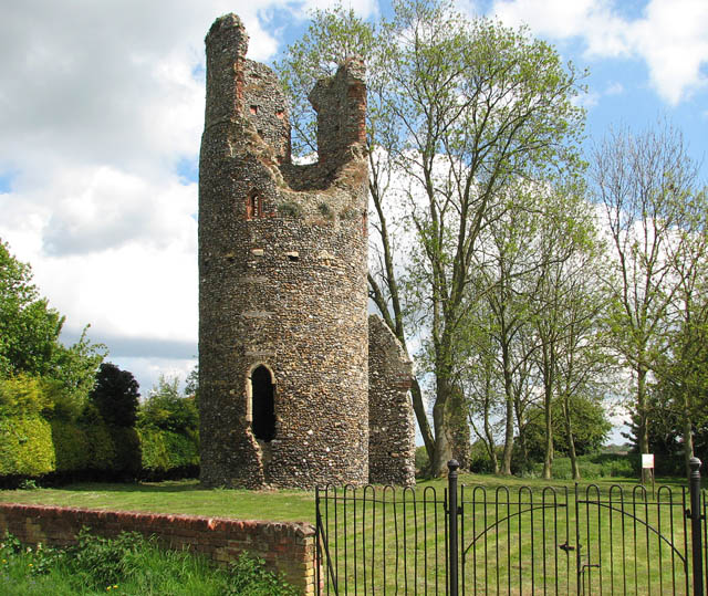
Bramerton Pits
Bramerton Pits is a 0.7-hectare (1.7-acre) geological Site of Special Scientific Interest north of the village of Bramerton in Norfolk on the southern...

Bramerton
Bramerton is a village in South Norfolk 4¾ miles (7½ km) south-east of Norwich, just north of the main A146 Norwich-Lowestoft road and on the south bank...
Kirby Bedon
Kirby Bedon is a hamlet in South Norfolk which lies approximately 3½ miles (5½ km) south-east of Norwich on the road to Bramerton. It covers an area of...
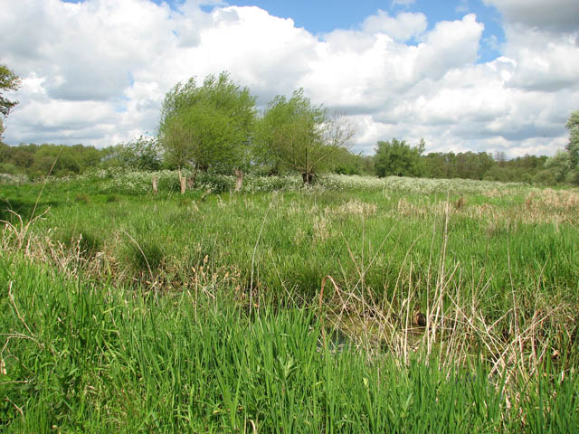
Surlingham Church Marsh RSPB reserve
Surlingham Church Marsh is a small RSPB nature reserve in the Norfolk Broads, England. It is part of Yare Broads and Marshes Site of Special Scientific...

Surlingham
Surlingham is a village and civil parish in the South Norfolk district of Norfolk situated on the Broads in eastern United Kingdom. It lies approximately...
Rockland St Mary
Rockland St Mary is a village in South Norfolk which lies about 6 miles (9½ km) southeast of Norwich between Surlingham, Bramerton, Claxton and Hellington...

Lesingham House
Lesingham House is a country house in Surlingham, Norfolk, England, part of which was supposedly built in 1655. == History == Lesingham House was supposedly...
Postwick with Witton
Postwick with Witton ( ) is a civil parish on the Broads in the English county of Norfolk, comprising the two adjacent villages of Postwick and Witton...
Nearby Amenities
Located within 500m of 52.602499,1.388954Have you been to Bramerton?
Leave your review of Bramerton below (or comments, questions and feedback).