End, West
Settlement in Dorset
England
End, West
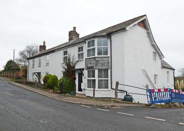
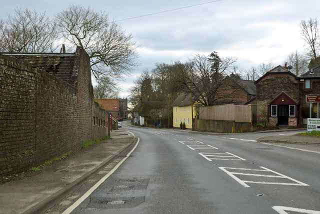
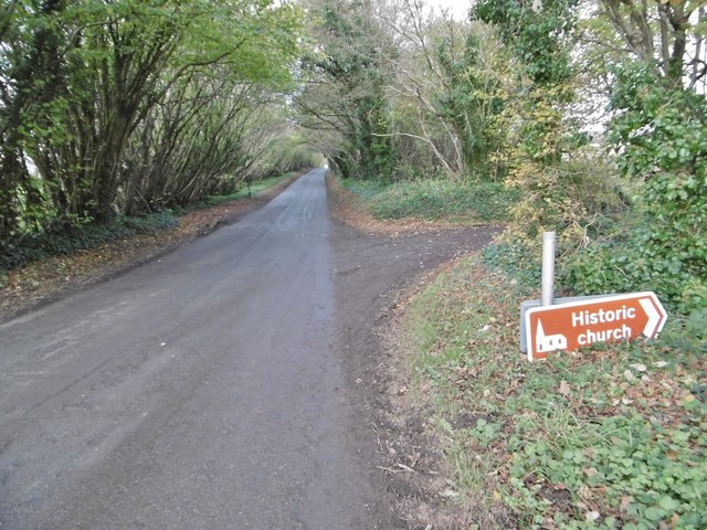
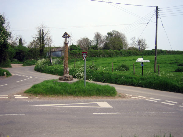
End is a small village located in the West Dorset district of Dorset, England. Situated close to the coast, it lies about 2 miles west of the town of Bridport and is nestled in the beautiful countryside of the Marshwood Vale. The village is part of the civil parish of Eype and falls within the Area of Outstanding Natural Beauty.
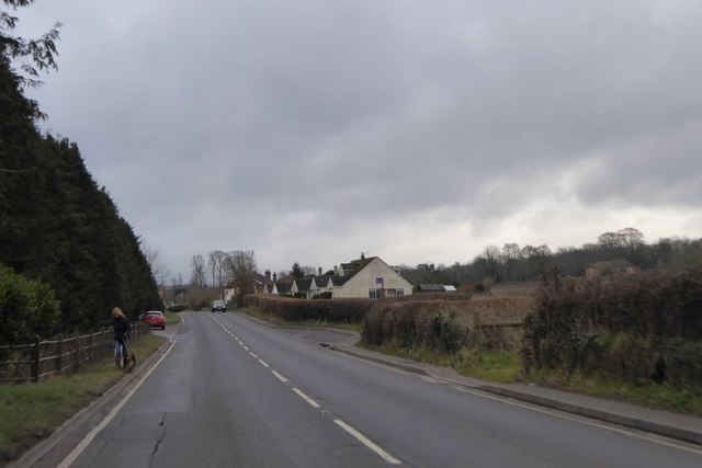
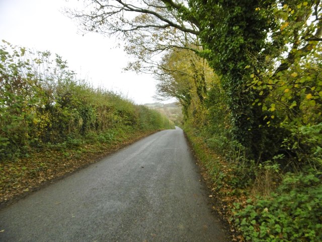
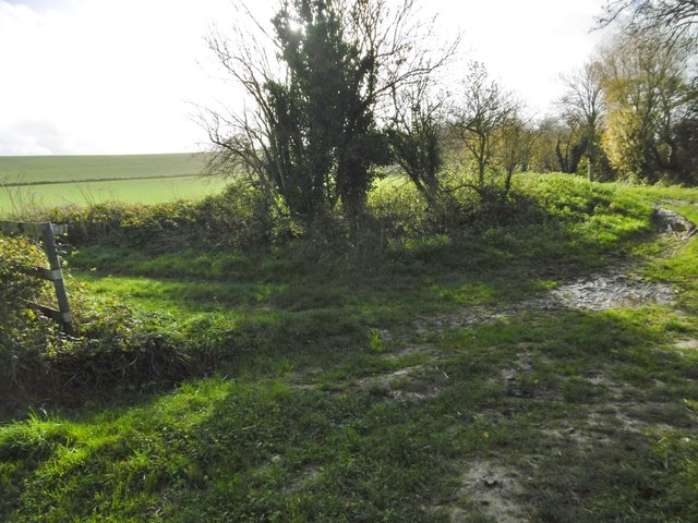
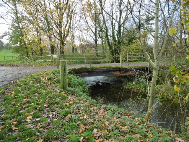
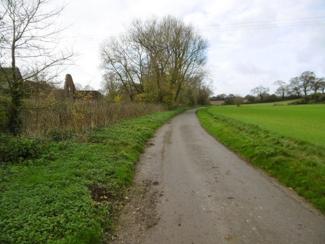
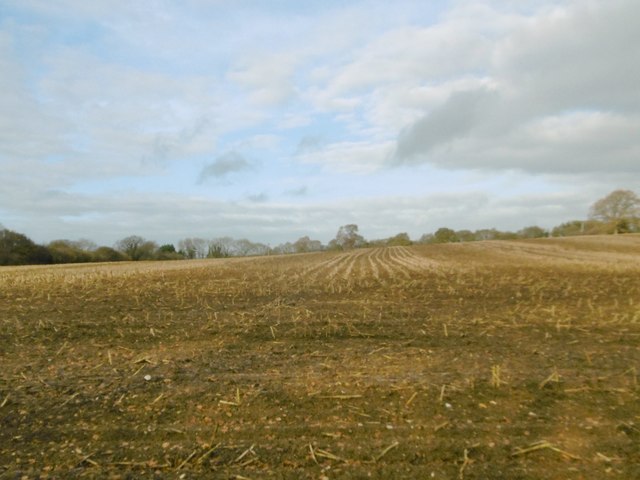
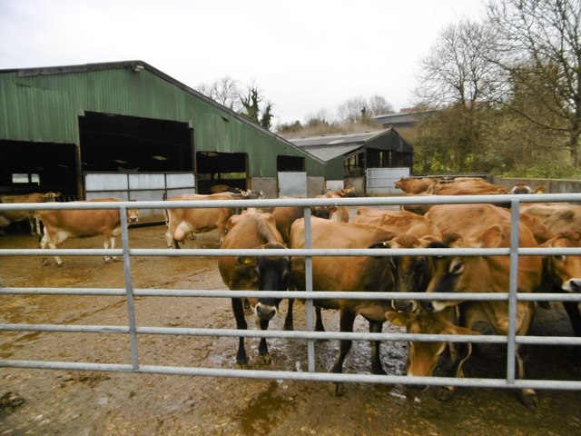
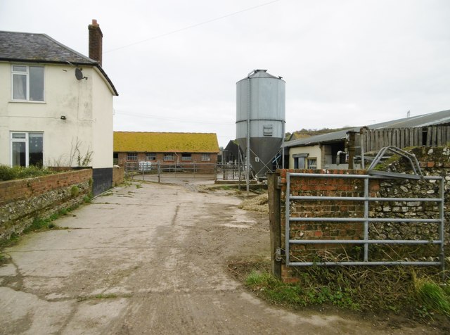
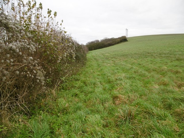
End is known for its idyllic rural setting and stunning natural scenery. Surrounded by rolling hills, farmland, and woodlands, it offers a peaceful retreat for residents and visitors alike. The village is particularly popular with nature enthusiasts and hikers, with numerous walking trails and footpaths crisscrossing the area.
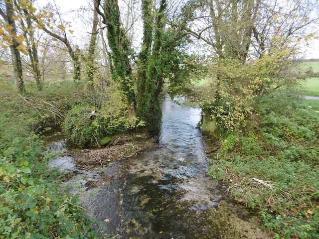
One of the highlights of End is its proximity to Eype Beach, which is just a short walk away. The beach is renowned for its rugged beauty, with towering cliffs, pebbly shores, and panoramic views of the Jurassic Coast. It is a designated Site of Special Scientific Interest, boasting a rich diversity of flora and fauna.
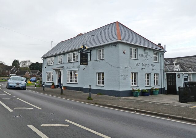
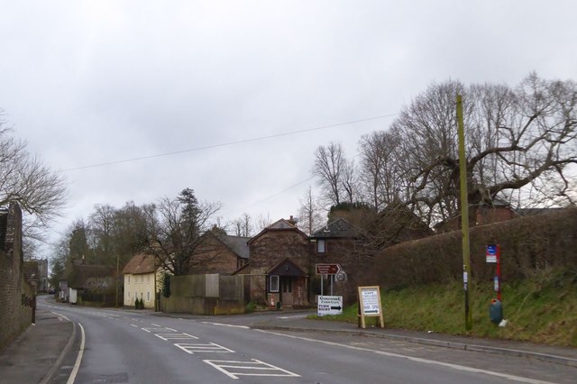
In terms of amenities, End has a limited number of facilities. There is a charming village pub, known for its warm hospitality and traditional British cuisine. The larger town of Bridport, with a wider range of shops, restaurants, and services, is easily accessible for those seeking more options.
Overall, End offers a tranquil and picturesque setting, making it an attractive destination for nature lovers and those seeking a peaceful escape in the West Dorset countryside.
If you have any feedback on the listing, please let us know in the comments section below.
End, West Images
Images are sourced within 2km of 50.824987/-2.1336313 or Grid Reference ST9002. Thanks to Geograph Open Source API. All images are credited.
End, West is located at Grid Ref: ST9002 (Lat: 50.824987, Lng: -2.1336313)
Unitary Authority: Dorset
Police Authority: Dorset
What 3 Words
///comically.mulled.lungs. Near Charlton Marshall, Dorset
Nearby Locations
Related Wikis

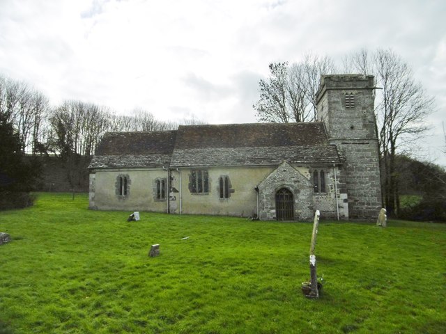
Spetisbury Priory
Spetisbury Priory, also Spettisbury Priory, was a medieval priory in Spetisbury or Spettisbury, Dorset, England. == History == The alien house of Benedictine...
Spetisbury
Spetisbury () is a village and civil parish in north Dorset, England, situated on the River Stour and the A350, four miles (six kilometres) southeast of...

Spetisbury railway station
Spetisbury railway station was a station in the English county of Dorset. It was located between Blandford Forum and Bailey Gate on the Somerset and Dorset...

River Tarrant
The River Tarrant is a 12 km long tributary of the River Stour in Dorset. The valley lies to the east of Blandford Forum. The river rises near Cranborne...

Tarrant Abbey
Tarrant Abbey was a Cistercian nunnery in Tarrant Crawford, Dorset, England. == History == The abbey was founded as an independent monastery in 1186 by...
Charlton Marshall
Charlton Marshall is a village and civil parish in the English county of Dorset. It lies within the North Dorset administrative district, on the A350 road...

Charlton Marshall Halt railway station
Charlton Marshall Halt was a station in the English county of Dorset. It was located between Blandford Forum and Bailey Gate on the Somerset and Dorset...
Tarrant Crawford
Tarrant Crawford is a small village and civil parish at the lower end of the Tarrant Valley in Dorset, England. The River Tarrant joins the larger River...
Nearby Amenities
Located within 500m of 50.824987,-2.1336313Have you been to End, West?
Leave your review of End, West below (or comments, questions and feedback).