West End

Settlement in Dorset

England

West End

Crawford Corner, Spetisbury
Crawford Corner, Spetisbury Credit: Roger Cornfoot

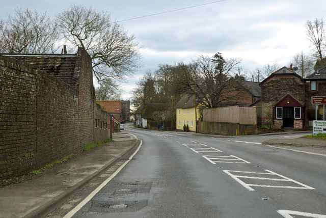
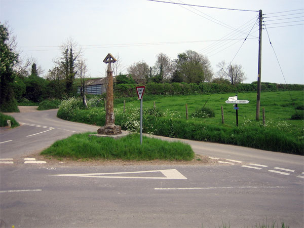
West End is a small village located in the county of Dorset, England. Situated in the picturesque countryside, it lies approximately 4 miles west of the historic town of Sherborne. With a population of around 800 residents, West End is a close-knit community known for its tranquil and rural setting.

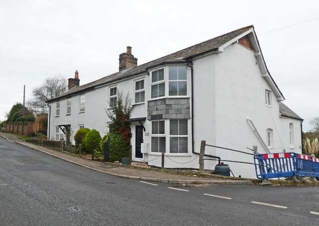
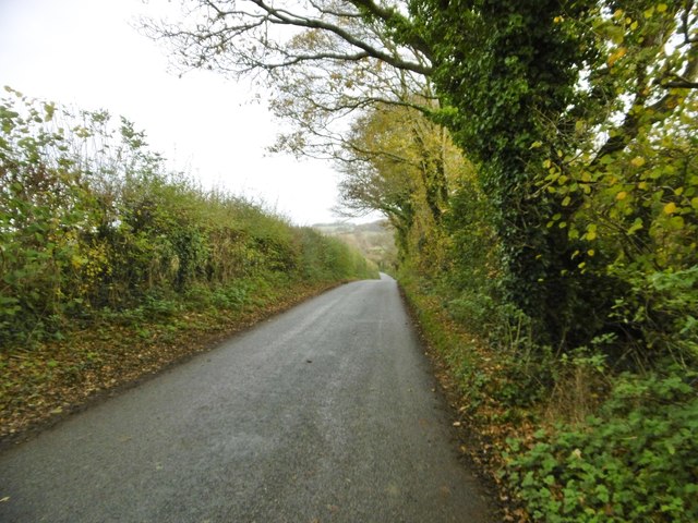
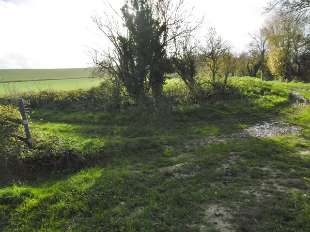
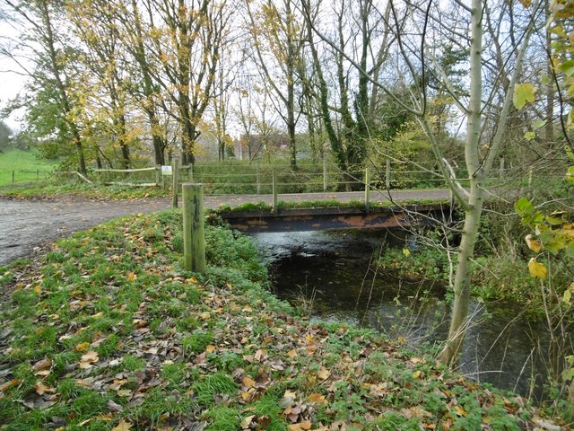
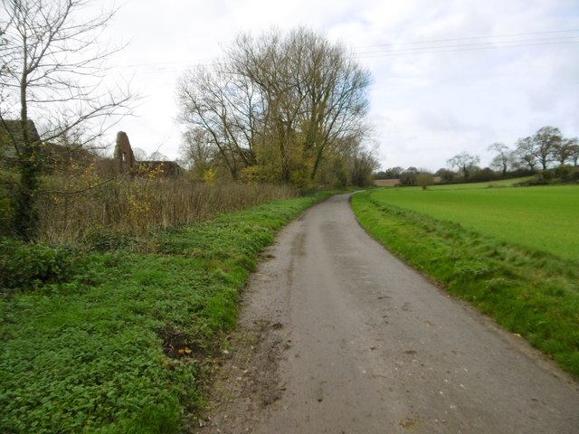
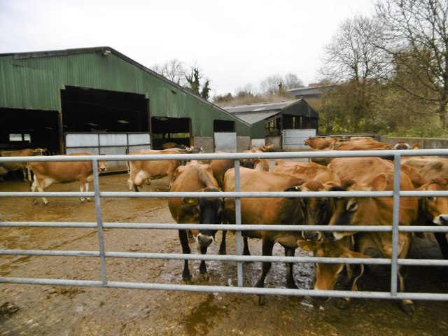
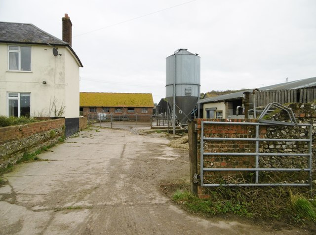
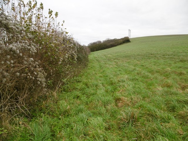
The village itself is characterized by traditional stone cottages and farmhouses, giving it a charming and quaint atmosphere. Surrounded by rolling hills and lush green fields, West End offers residents and visitors alike a peaceful retreat from the hustle and bustle of urban life.

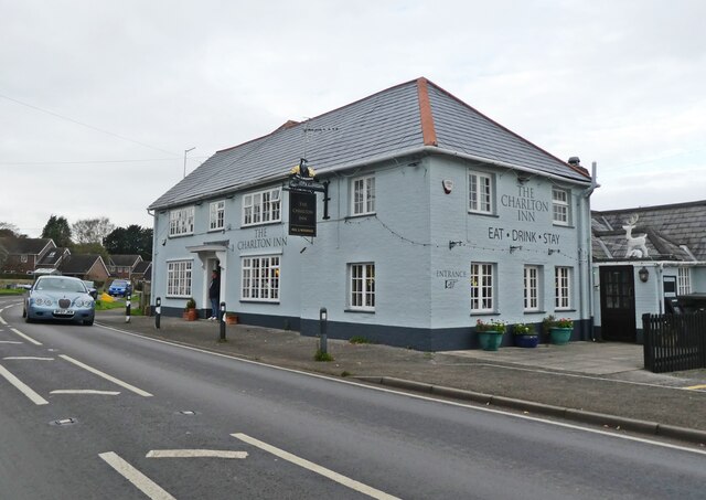
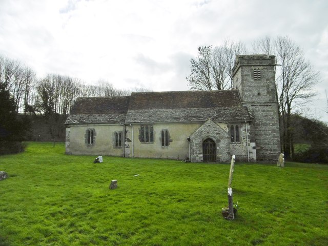
Despite its small size, West End has a strong sense of community and boasts a number of local amenities. These include a village hall, a primary school, and a parish church, which serve as focal points for social gatherings and community events. The village also has a well-stocked village shop, providing essential goods to its residents.

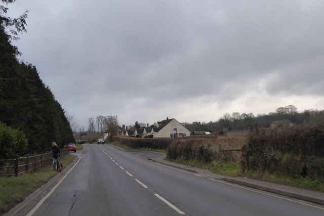
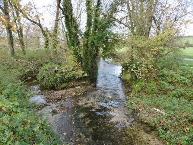
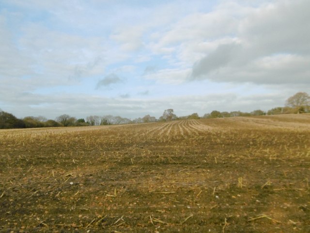
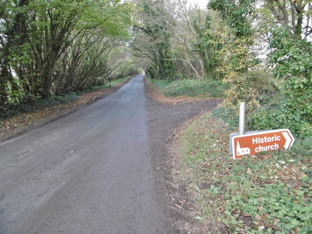
For those seeking outdoor activities, West End offers plenty of opportunities to explore the surrounding countryside. The village is nestled within the Dorset Area of Outstanding Natural Beauty, offering breathtaking views and numerous walking and cycling routes. Nearby attractions include Sherborne Castle and Gardens, which provide a glimpse into the area's rich history.

Overall, West End, Dorset, is a charming and idyllic village that offers a peaceful and scenic retreat for residents and visitors alike. With its strong sense of community and beautiful rural surroundings, it is a place that captures the essence of traditional English countryside living.

If you have any feedback on the listing, please let us know in the comments section below.
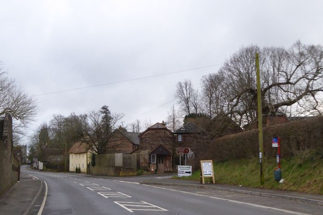
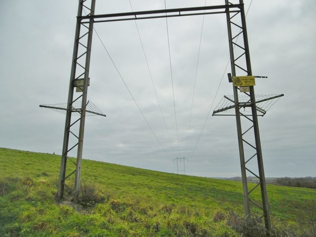
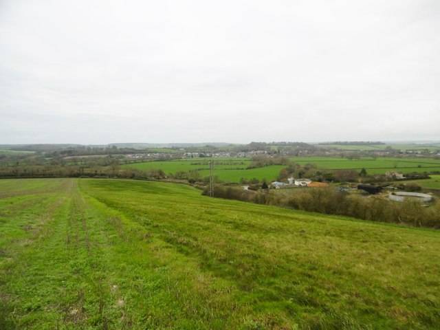
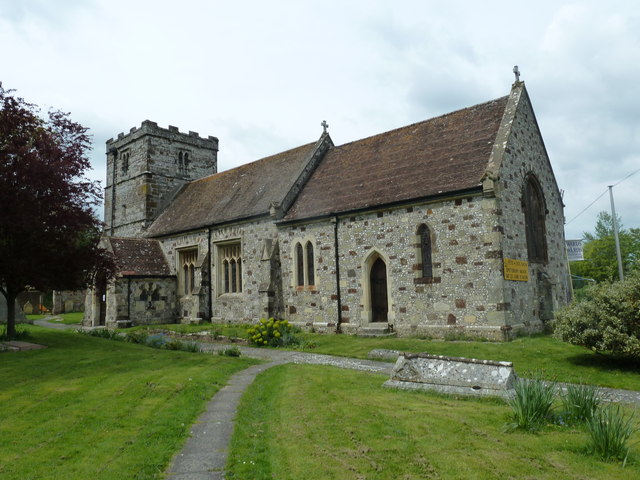
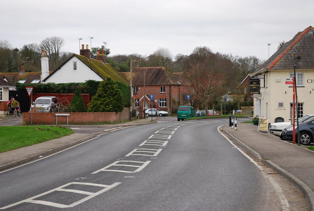
West End Images

Images are sourced within 2km of 50.824987/-2.1336313 or Grid Reference ST9002. Thanks to Geograph Open Source API. All images are credited.

Crawford Corner, Spetisbury
The Charlton Inn,  Charlton Marshall
The Charlton Inn, Charlton Marshall
Bus stops on A350 between Littleton and Charlton Marshall These two stops seem oddly placed, on the edge of the village ahead.  However, there are further stops further along, and these serve houses and businesses at Littleton
Bus stops on A350 between Littleton and Charlton Marshall
These two stops seem oddly placed, on the edge of the village ahead. However, there are further stops further along, and these serve houses and businesses at Littleton
Bus stop at road junction in Charlton on the Hill
A350 through Charlton Marshall Heading south.
A350 through Charlton Marshall
Heading south.
Tarrant Crawford, country road From the crossroads at Keyneston Mill to Tarrant Keyneston.
Tarrant Crawford, country road
From the crossroads at Keyneston Mill to Tarrant Keyneston.
Tarrant Crawford, bridleway junction Left, to downland; ahead, to Abbey Farm.
Tarrant Crawford, bridleway junction
Left, to downland; ahead, to Abbey Farm.
Tarrant Crawford, bridge Across the Tarrant, from Tarrant Crawford church and surrounding farmland.
Tarrant Crawford, bridge
Across the Tarrant, from Tarrant Crawford church and surrounding farmland.
Tarrant Crawford, the Tarrant Looking downstream from <a href="https://www.geograph.org.uk/photo/4754736">ST9203 : Tarrant Crawford, bridge</a>.
Tarrant Crawford, the Tarrant
Looking downstream from ST9203 : Tarrant Crawford, bridge.
Tarrant Crawford, St. Mary's Former parish church, now redundant and cared for by the Churches Conservation Trust; C12 and later. The exterior is part rendered and part stone and flint. Listed by English Heritage (Grade I). <span class="nowrap"><a title="http://www.imagesofengland.org.uk/Details/Default.aspx?id=103746&mode=adv" rel="nofollow ugc noopener" href="http://www.imagesofengland.org.uk/Details/Default.aspx?id=103746&mode=adv">Link</a><img style="margin-left:2px;" alt="External link" title="External link - shift click to open in new window" src="https://s1.geograph.org.uk/img/external.png" width="10" height="10"/></span>
Tarrant Crawford, St. Mary's
Former parish church, now redundant and cared for by the Churches Conservation Trust; C12 and later. The exterior is part rendered and part stone and flint. Listed by English Heritage (Grade I). LinkExternal link
Tarrant Crawford, farm road Farm road and bridleway, from <a href="https://www.geograph.org.uk/photo/4754763">ST9203 : Tarrant Crawford, St. Mary's</a> and neighbouring farmland to the public road.
Tarrant Crawford, farm road
Farm road and bridleway, from ST9203 : Tarrant Crawford, St. Mary's and neighbouring farmland to the public road.
Tarrant Crawford, stubble field
Tarrant Crawford, road sign On the road to Keyneston Mill Corner; road sign T105, to <a href="https://www.geograph.org.uk/photo/4754763">ST9203 : Tarrant Crawford, St. Mary's</a>. <span class="nowrap"><a title="http://www.legislation.gov.uk/uksi/2002/3113/made" rel="nofollow ugc noopener" href="http://www.legislation.gov.uk/uksi/2002/3113/made">Link</a><img style="margin-left:2px;" alt="External link" title="External link - shift click to open in new window" src="https://s1.geograph.org.uk/img/external.png" width="10" height="10"/></span>
Tarrant Crawford, road sign
On the road to Keyneston Mill Corner; road sign T105, to ST9203 : Tarrant Crawford, St. Mary's. LinkExternal link
Tarrant Keyneston, farmyard A beautiful herd of Jerseys waiting to be milked at Lophill Farm.
Tarrant Keyneston, farmyard
A beautiful herd of Jerseys waiting to be milked at Lophill Farm.
Tarrant Keyneston, Manor Dairy Farm
Tarrant Keyneston, footpath Along field boundaries, from Manor Dairy Farm to Wimborne Road.
Tarrant Keyneston, footpath
Along field boundaries, from Manor Dairy Farm to Wimborne Road.
Tarrant Keyneston, power lines
Tarrant Keyneston, view Looking down from near the top of Lop Hill, across farmland to Manor Dairy Farm; in the distance, the Stour Valley and Charlton Marshall.
Tarrant Keyneston, view
Looking down from near the top of Lop Hill, across farmland to Manor Dairy Farm; in the distance, the Stour Valley and Charlton Marshall.
Show me another place!

West End is located at Grid Ref: ST9002 (Lat: 50.824987, Lng: -2.1336313)

Unitary Authority: Dorset

Police Authority: Dorset

What 3 Words

///comically.mulled.lungs. Near Charlton Marshall, Dorset

Related Wikis

Spetisbury Priory

Spetisbury Priory, also Spettisbury Priory, was a medieval priory in Spetisbury or Spettisbury, Dorset, England. == History == The alien house of Benedictine...

Spetisbury

Spetisbury () is a village and civil parish in north Dorset, England, situated on the River Stour and the A350, four miles (six kilometres) southeast of...

Spetisbury railway station

Spetisbury railway station was a station in the English county of Dorset. It was located between Blandford Forum and Bailey Gate on the Somerset and Dorset...

River Tarrant

The River Tarrant is a 12 km long tributary of the River Stour in Dorset. The valley lies to the east of Blandford Forum. The river rises near Cranborne...

Tarrant Abbey

Tarrant Abbey was a Cistercian nunnery in Tarrant Crawford, Dorset, England. == History == The abbey was founded as an independent monastery in 1186 by...

Charlton Marshall

Charlton Marshall is a village and civil parish in the English county of Dorset. It lies within the North Dorset administrative district, on the A350 road...

Charlton Marshall Halt railway station

Charlton Marshall Halt was a station in the English county of Dorset. It was located between Blandford Forum and Bailey Gate on the Somerset and Dorset...

Tarrant Crawford

Tarrant Crawford is a small village and civil parish at the lower end of the Tarrant Valley in Dorset, England. The River Tarrant joins the larger River...

Nearby Amenities

Located within 500m of 50.824987,-2.1336313
Home Plantation
Place: locality
Source Name: OS_OpenData_StreetView
Lat/Long: 50.8231762/-2.1310685
Material: wood
Power: pole
Source: bing
Lat/Long: 50.8209943/-2.1364207
Material: wood
Power: pole
Source: bing
Lat/Long: 50.8223651/-2.1370966
Material: wood
Power: pole
Source: bing
Lat/Long: 50.8234458/-2.1386889
Material: wood
Power: pole
Source: bing
Lat/Long: 50.8236944/-2.1389518
Material: wood
Power: pole
Source: bing
Lat/Long: 50.8241822/-2.1377251
Material: wood
Power: pole
Source: bing
Lat/Long: 50.8245175/-2.1402146
Barrier: stile
Lat/Long: 50.8213802/-2.1366994
Material: wood
Power: pole
Source: bing
Lat/Long: 50.8255716/-2.1341251
Material: wood
Operator: SSE
Power: pole
Ref: Sylvasprings Water Cress
Source: bing
Transformer: distribution
Lat/Long: 50.8258749/-2.1334116
Material: wood
Power: pole
Source: bing
Lat/Long: 50.8266441/-2.1315314
Material: wood
Operator: SSE
Power: pole
Ref: Spetisburt Gateway
Source: survey;bing
Transformer: distribution
Voltage Primary: 11000
Voltage Secondary: 230
Lat/Long: 50.8268898/-2.1310138
Material: wood
Power: pole
Source: bing
Lat/Long: 50.8272049/-2.1319525
Material: wood
Power: pole
Source: bing
Lat/Long: 50.8275403/-2.1297665
Historic: memorial
Memorial: war_memorial
Lat/Long: 50.8255192/-2.1295154
Material: wood
Power: pole
Source: survey;bing
Switch: mechanical
Lat/Long: 50.8272195/-2.1303637
Barrier: stile
Lat/Long: 50.8236064/-2.1283726
Material: wood
Operator: SSE
Power: pole
Ref: West End
Transformer: distribution
Lat/Long: 50.8251983/-2.1352644
Material: wood
Operator: SSE
Power: pole
Ref: Spetisbury Dairy
Transformer: distribution
Lat/Long: 50.8277719/-2.1323783
Power: pole
Lat/Long: 50.8260287/-2.1330139
Material: wood
Operator: SSE
Power: pole
Ref: Charlton Barrow
Transformer: distribution
Lat/Long: 50.828471/-2.1372767
Power: pole
Lat/Long: 50.827956/-2.1367255
Power: pole
Lat/Long: 50.8274274/-2.1361407
Power: pole
Lat/Long: 50.8270081/-2.1361575
Power: pole
Lat/Long: 50.8263583/-2.1361723
Bus Stop
Spetisbury First School
Bench: no
Bin: no
Bus: yes
Lit: no
Naptan AtcoCode: 1200POA10409
Naptan Bearing: SE
Naptan CommonName: Primary School
Naptan Indicator: SE-bound
Naptan NaptanCode: dorawdtg
Naptan Street: Bournemouth Road
Naptan Verified: no
Public Transport: platform
Shelter: no
Tactile Paving: no
Lat/Long: 50.8268652/-2.1307361
Bus Stop
Spetisbury First School
Bus: yes
Naptan AtcoCode: 1200DOA25090
Naptan NaptanCode: dordmgta
Public Transport: platform
Lat/Long: 50.8260715/-2.1300428
Bus Stop
Spetisbury, Woodpecker
Bus: yes
Naptan AtcoCode: 1200POA10410
Naptan Bearing: SE
Naptan CommonName: Beech Close
Naptan Indicator: SE-bound
Naptan NaptanCode: dorawdwa
Naptan Street: High Street
Naptan Verified: no
Public Transport: platform
Lat/Long: 50.8235037/-2.1274933
Bus Stop
Spetisbury, Woodpecker
Bus: yes
Naptan AtcoCode: 1200DOY38525
Naptan Bearing: N
Naptan BusStopType: CUS
Naptan CommonName: Beech Close
Naptan Indicator: opp
Naptan NaptanCode: dorawdtw
Naptan Street: High Street
Naptan Verified: no
Public Transport: platform
Lat/Long: 50.8235071/-2.1276864
Post Box
Collection Times: Mo-Fr 09:00; Sa 07:00
Operator: Royal Mail
Post Box Type: lamp
Ref: DT11 12D
Ref GB Uprn: 10015273148
Royal Cypher: EIIR
Royal Cypher Wikidata: Q33102113
Source: survey
Lat/Long: 50.8234891/-2.1276738
Fire Hydrant
Emergency: fire_hydrant
Fire Hydrant Diameter: 75
Fire Hydrant Type: underground
Ref: 10050
Source: survey
Lat/Long: 50.826713/-2.130567
Waste Basket
Waste: dog_excrement
Lat/Long: 50.8266962/-2.1305289
Fixme: Continues
Lat/Long: 50.8244703/-2.1302815
Entrance: main
Lat/Long: 50.8257033/-2.1300339
The data included in this document is from www.openstreetmap.org. The data is made available under ODbL.

Have you been to West End?

Leave your review of West End below (or comments, questions and feedback).