Charlton Hill Coppice
Wood, Forest in Dorset
England
Charlton Hill Coppice
Charlton Hill Coppice, located in Dorset, is a charming and picturesque woodland area that spans across a vast expanse of land. This coppice is renowned for its natural beauty and rich biodiversity, making it a popular destination for nature enthusiasts and hikers alike.
Covering an area of approximately 100 acres, Charlton Hill Coppice is predominantly composed of mature deciduous trees, including oak, beech, and chestnut. These towering trees create a dense canopy, providing shade and shelter for a variety of wildlife species that call this forest home.
The woodland floor is adorned with a vibrant carpet of bluebells and wildflowers during the spring months, creating a stunning display of colors. This attracts a plethora of butterflies, bees, and other pollinators, adding to the ecological significance of this coppice.
Visitors to Charlton Hill Coppice can explore a network of well-maintained footpaths and trails that meander through the forest, offering breathtaking views and a sense of tranquility. The diverse range of habitats within the wood, including wetland areas and ponds, provides an opportunity for visitors to encounter a wide range of wildlife, such as deer, badgers, foxes, and a variety of bird species.
Managed by local conservation organizations, Charlton Hill Coppice is carefully preserved to maintain its natural beauty and protect the delicate ecosystem it supports. The wood is open to the public year-round and offers a peaceful retreat from the hustle and bustle of everyday life.
Overall, Charlton Hill Coppice in Dorset is a natural gem, offering a glimpse into the enchanting world of woodlands and providing a haven for both nature and visitors seeking solace in the great outdoors.
If you have any feedback on the listing, please let us know in the comments section below.
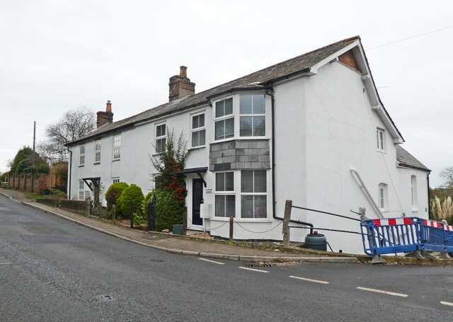
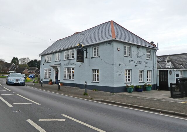
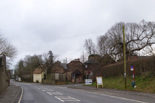
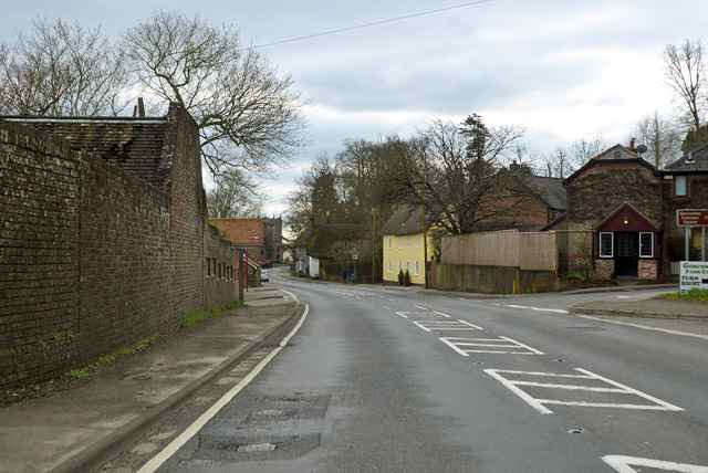
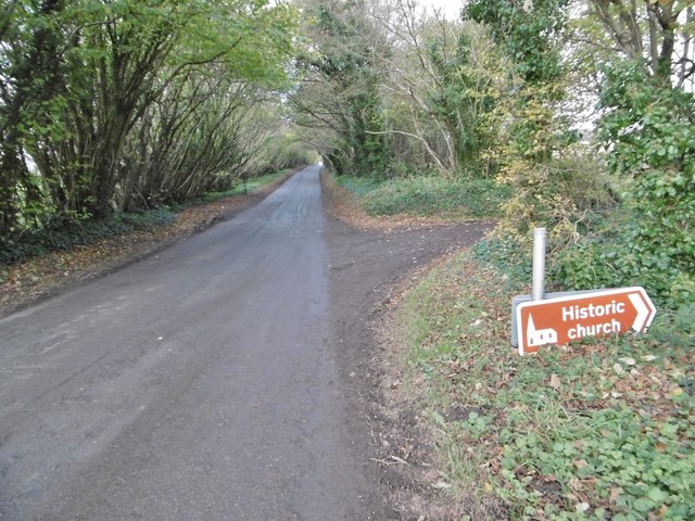
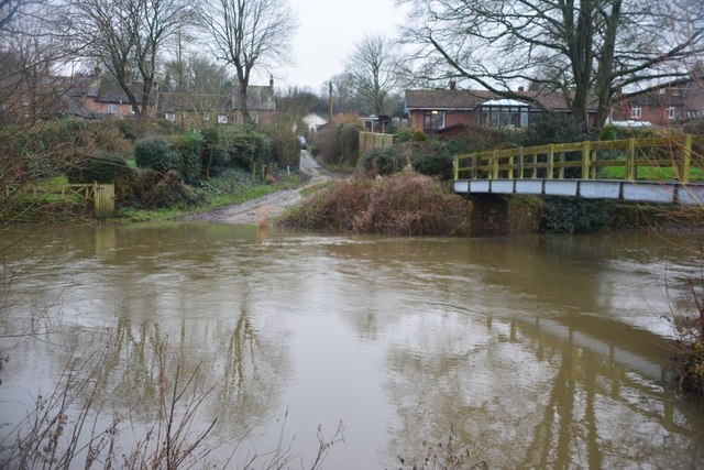
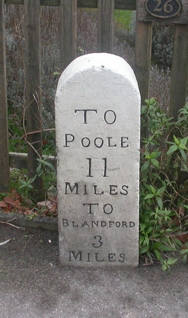
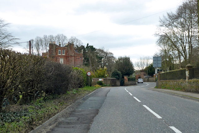
Charlton Hill Coppice Images
Images are sourced within 2km of 50.820291/-2.1421071 or Grid Reference ST9002. Thanks to Geograph Open Source API. All images are credited.


Charlton Hill Coppice is located at Grid Ref: ST9002 (Lat: 50.820291, Lng: -2.1421071)
Unitary Authority: Dorset
Police Authority: Dorset
What 3 Words
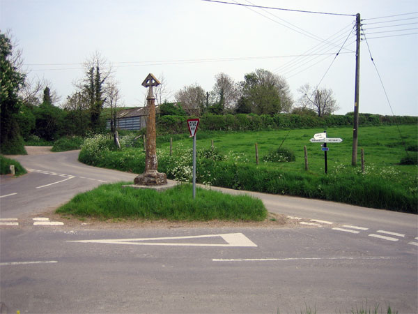
///thumbnail.shifts.seashell. Near Charlton Marshall, Dorset
Nearby Locations
Related Wikis
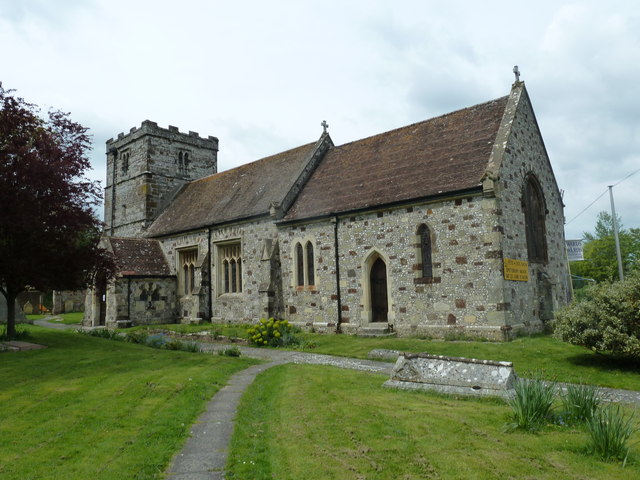
Spetisbury
Spetisbury () is a village and civil parish in north Dorset, England, situated on the River Stour and the A350, four miles (six kilometres) southeast of...

Spetisbury Priory
Spetisbury Priory, also Spettisbury Priory, was a medieval priory in Spetisbury or Spettisbury, Dorset, England. == History == The alien house of Benedictine...

Spetisbury railway station
Spetisbury railway station was a station in the English county of Dorset. It was located between Blandford Forum and Bailey Gate on the Somerset and Dorset...
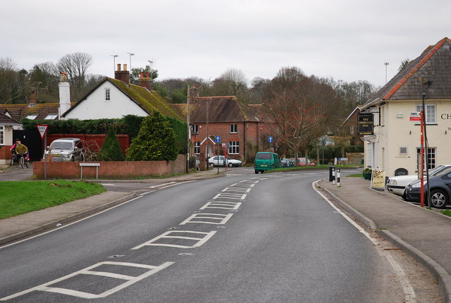
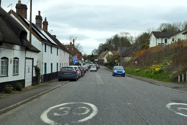
Charlton Marshall
Charlton Marshall is a village and civil parish in the English county of Dorset. It lies within the North Dorset administrative district, on the A350 road...

Charlton Marshall Halt railway station
Charlton Marshall Halt was a station in the English county of Dorset. It was located between Blandford Forum and Bailey Gate on the Somerset and Dorset...

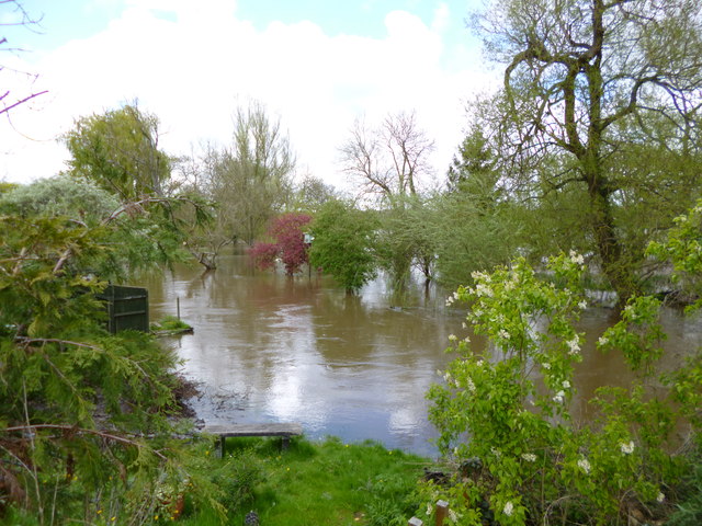
River Tarrant
The River Tarrant is a 12 km long tributary of the River Stour in Dorset. The valley lies to the east of Blandford Forum. The river rises near Cranborne...

Tarrant Abbey
Tarrant Abbey was a Cistercian nunnery in Tarrant Crawford, Dorset, England. == History == The abbey was founded as an independent monastery in 1186 by...
Tarrant Crawford
Tarrant Crawford is a small village and civil parish at the lower end of the Tarrant Valley in Dorset, England. The River Tarrant joins the larger River...
Nearby Amenities
Located within 500m of 50.820291,-2.1421071Have you been to Charlton Hill Coppice?
Leave your review of Charlton Hill Coppice below (or comments, questions and feedback).