Middle Coppice
Wood, Forest in Dorset
England
Middle Coppice
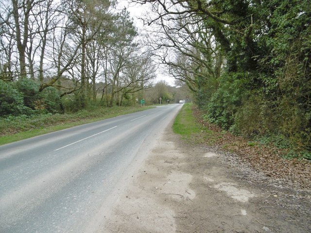
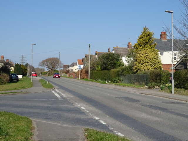
Middle Coppice is a picturesque woodland located in the county of Dorset, England. Situated near the village of Coppiceville, it spans over 100 acres of lush greenery, making it a popular destination for nature enthusiasts and hikers alike.
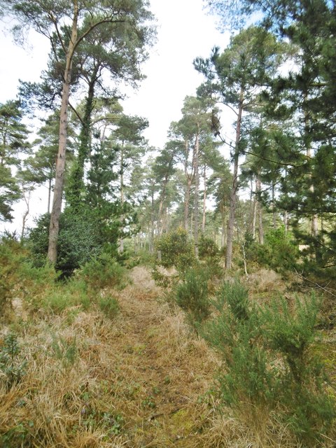
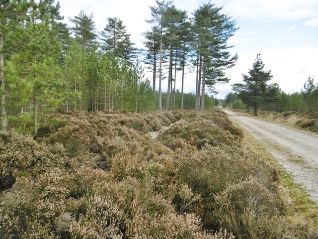
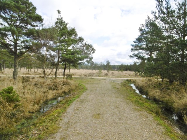
The woodland is primarily composed of native tree species, including oak, beech, and birch, which create a diverse and vibrant ecosystem. The dense canopy provides shade, creating a cool and peaceful atmosphere, particularly during the hot summer months. The forest floor is carpeted with a variety of wildflowers, such as bluebells and primroses, adding a splash of color to the landscape.
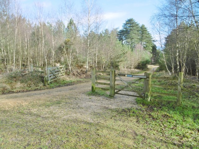
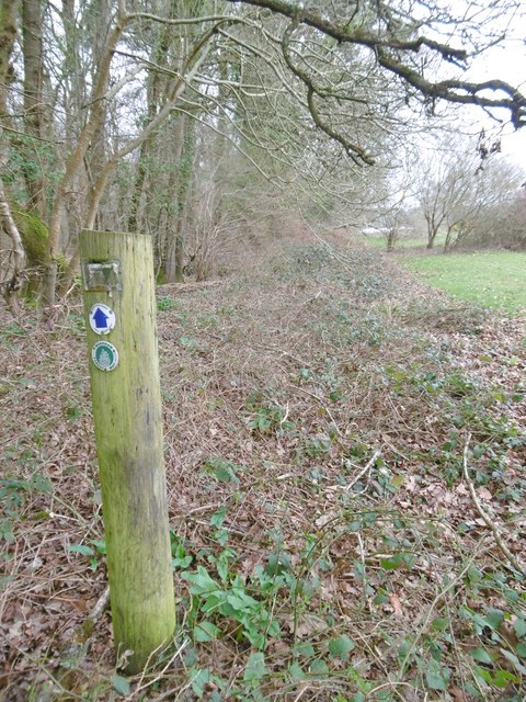
Middle Coppice is crisscrossed by a network of well-maintained footpaths, allowing visitors to explore its beauty at their own pace. These trails lead to scenic viewpoints, hidden clearings, and tranquil streams, providing opportunities for wildlife spotting and birdwatching. It is not uncommon to encounter species such as deer, squirrels, and various bird species during a walk through the woodland.
The forest also holds historical significance, with remnants of ancient woodland management techniques still visible, such as old coppice stools and pollarded trees. These serve as a reminder of the area's rich cultural and ecological heritage.
Middle Coppice is open to the public year-round, and visitors are urged to respect the natural environment by sticking to designated paths and refraining from littering. With its serene ambiance and abundant wildlife, Middle Coppice offers a peaceful retreat for those seeking solace in nature.
If you have any feedback on the listing, please let us know in the comments section below.
Middle Coppice Images
Images are sourced within 2km of 50.698631/-2.1417384 or Grid Reference SY9088. Thanks to Geograph Open Source API. All images are credited.


Middle Coppice is located at Grid Ref: SY9088 (Lat: 50.698631, Lng: -2.1417384)
Unitary Authority: Dorset
Police Authority: Dorset
What 3 Words
///caused.tops.went. Near Wareham, Dorset
Nearby Locations
Related Wikis

Trigon Hill
Trigon Hill is a hill on the edge of a clay pit near Cold Harbour, Dorset, on the Dorset Heaths. It rises about 3 kilometres northwest of the centre of...
Worgret Heath
Worgret Heath SSSI, Dorset (grid reference SY895871) is an 8.4 hectare biological Site of Special Scientific Interest in Dorset, notified in 1987.The site...

Worgret
Worgret is a hamlet in the English county of Dorset. It is situated immediately to the west of the town of Wareham. Worgret forms part of the civil parish...

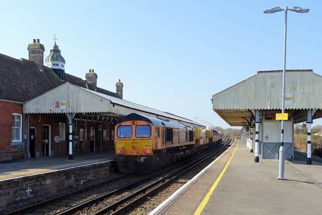
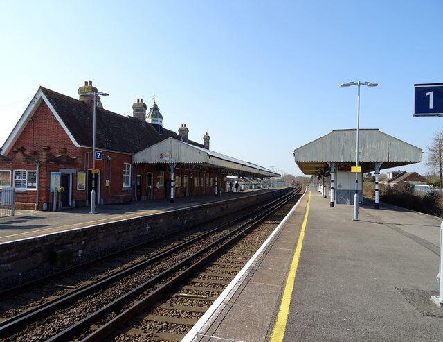
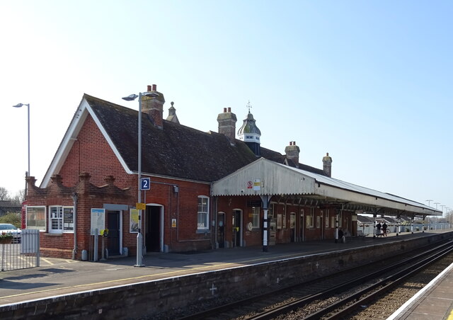
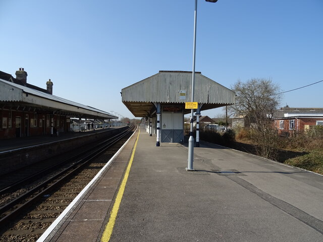
Wareham railway station
Wareham railway station serves the historic market town of Wareham in Dorset, England. It is situated about 0.6 miles (1 km) north of the town centre....
Purbeck miniature railway
Purbeck Miniature Railway was a 7+1⁄4 in (184 mm) gauge miniature railway, located at The Purbeck School near Wareham, Dorset, England. Construction started...
The Purbeck School
The Purbeck School is a coeducational secondary school and sixth form located in Wareham in the central southern area of Dorset, England, on the Isle of...
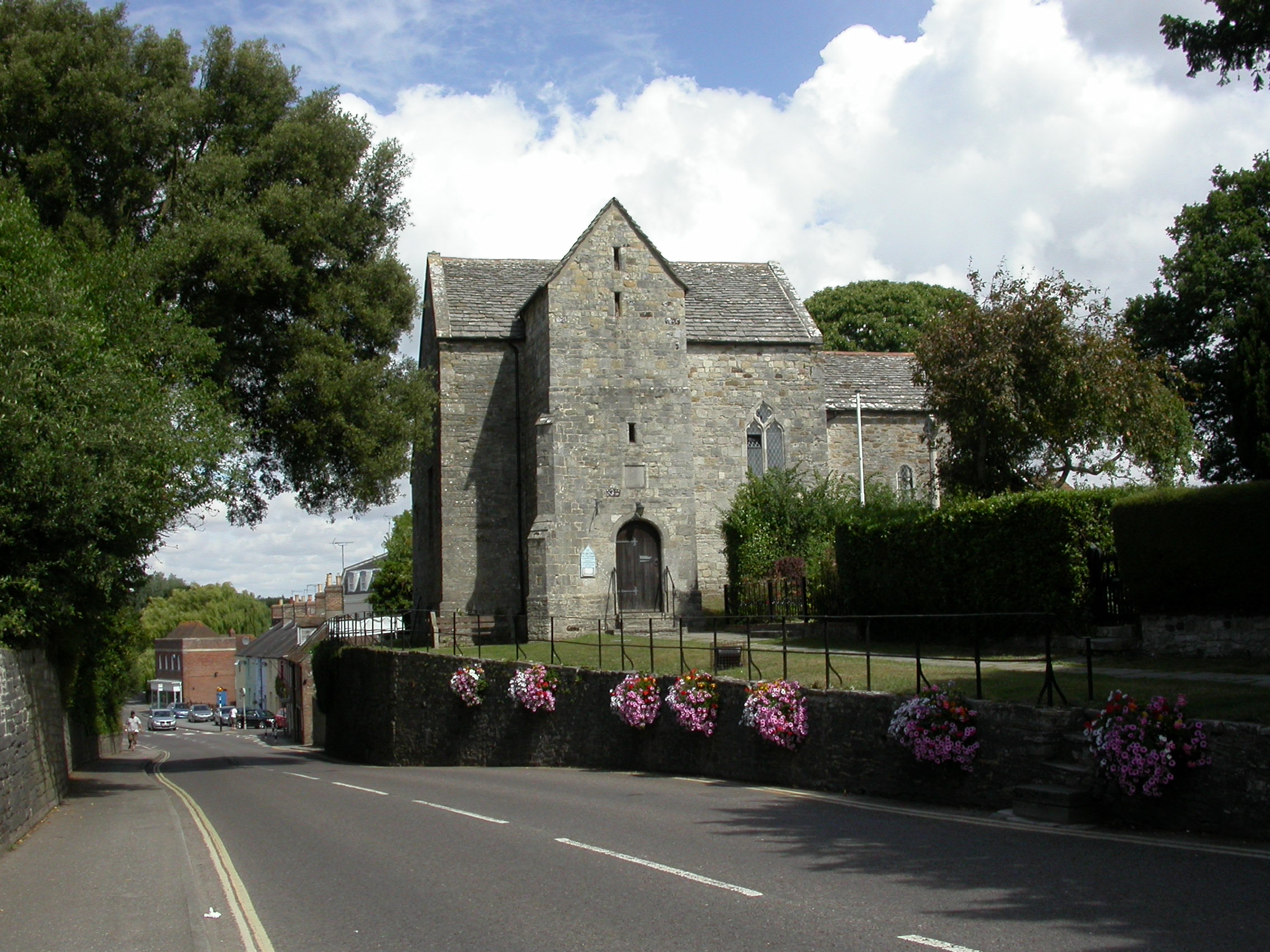
St Martin's Church, Wareham
St Martin's Church, Wareham, sometimes St Martin's-on-the-walls, is an Anglo-Saxon church in the town of Wareham, Dorset in England. It is the most complete...

Wareham Castle and town defences
Wareham Castle and the town defences, known locally as the Walls, were fortifications in the town of Wareham in Dorset, England. == 1st-11th century... ==
Nearby Amenities
Located within 500m of 50.698631,-2.1417384Have you been to Middle Coppice?
Leave your review of Middle Coppice below (or comments, questions and feedback).