Garden Wood
Wood, Forest in Dorset
England
Garden Wood
![Church of St Martin, Wareham (1) The most complete example of an Anglo-Saxon church in Dorset, a Grade I listed building, and a Scheduled Ancient Monument. [Wikipedia]
<a href="https://www.geograph.org.uk/photo/722210">SY9287 : Church of St Martin, Wareham (2)</a>](https://s2.geograph.org.uk/geophotos/07/07/01/7070154_01acb96f.jpg)
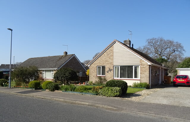
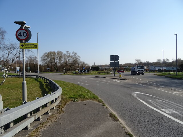
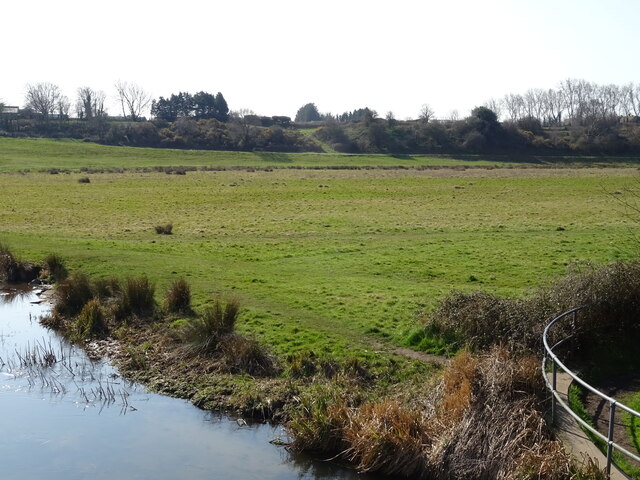
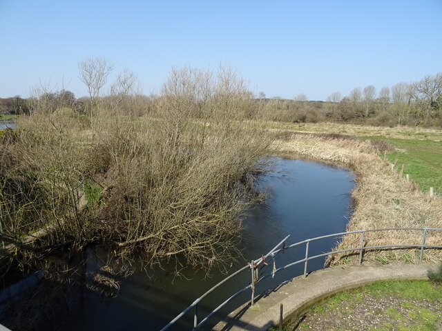
Garden Wood is a picturesque forest located in the county of Dorset, England. Covering an area of approximately 100 acres, it is a charming and tranquil destination for nature enthusiasts and outdoor enthusiasts alike.
The wood is primarily composed of a variety of deciduous trees, including oak, beech, and ash, creating a diverse and vibrant ecosystem. These trees provide a dense canopy that offers shade and shelter to the many species of wildlife that call Garden Wood their home. Visitors can expect to encounter a plethora of birds, such as woodpeckers and songbirds, as well as small mammals like squirrels and rabbits.
Walking through Garden Wood is a delightful experience, with well-maintained paths that wind through the forest, allowing visitors to explore its beauty at their leisure. The forest floor is covered in a rich carpet of moss, ferns, and wildflowers, enhancing the enchanting atmosphere of the wood.
For those interested in the history of the area, Garden Wood holds some significance. It is believed that the wood has been in existence for several hundred years, with some of the trees dating back centuries. The forest has also played a role in local folklore and legends, adding an air of mystery and intrigue.
Garden Wood is open to the public all year round and is a popular destination for hiking, nature photography, and simply enjoying the tranquility of the natural surroundings. With its stunning beauty and diverse wildlife, Garden Wood is a must-visit destination for nature lovers visiting Dorset.
If you have any feedback on the listing, please let us know in the comments section below.
Garden Wood Images
Images are sourced within 2km of 50.692079/-2.1381227 or Grid Reference SY9088. Thanks to Geograph Open Source API. All images are credited.


Garden Wood is located at Grid Ref: SY9088 (Lat: 50.692079, Lng: -2.1381227)
Unitary Authority: Dorset
Police Authority: Dorset
What 3 Words
///outfitter.decoded.proudest. Near Wareham, Dorset
Nearby Locations
Related Wikis

Worgret
Worgret is a hamlet in the English county of Dorset. It is situated immediately to the west of the town of Wareham. Worgret forms part of the civil parish...

Worgret Heath
Worgret Heath SSSI, Dorset (grid reference SY895871) is an 8.4 hectare biological Site of Special Scientific Interest in Dorset, notified in 1987.The site...
Purbeck miniature railway
Purbeck Miniature Railway was a 7+1⁄4 in (184 mm) gauge miniature railway, located at The Purbeck School near Wareham, Dorset, England. Construction started...
The Purbeck School
The Purbeck School is a coeducational secondary school and sixth form located in Wareham in the central southern area of Dorset, England, on the Isle of...

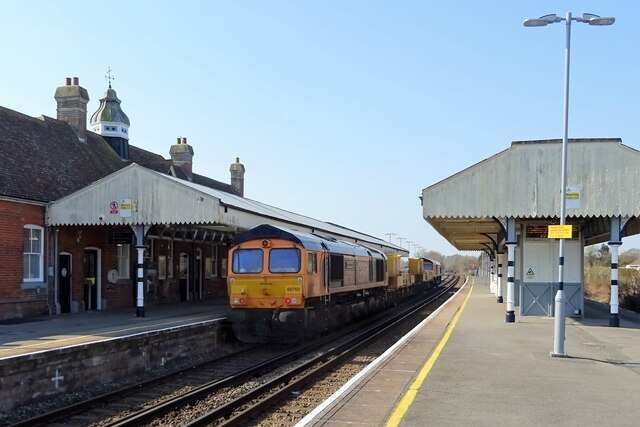
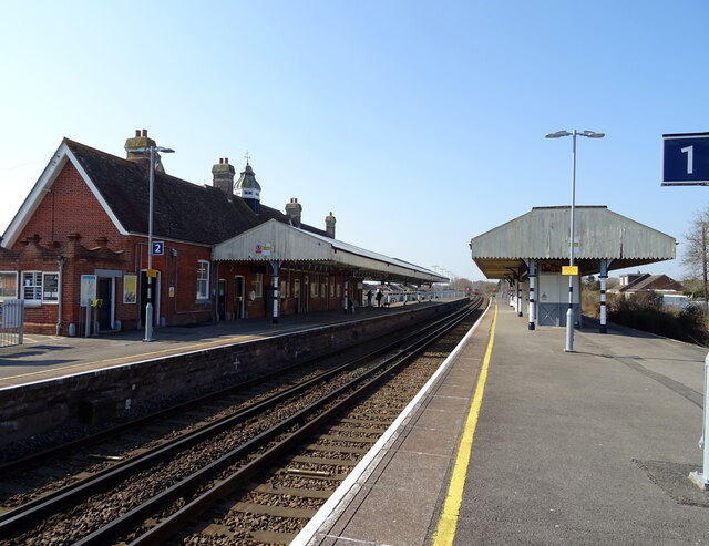
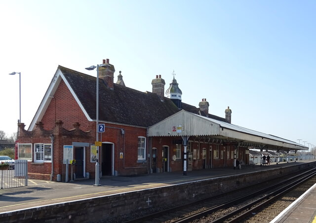
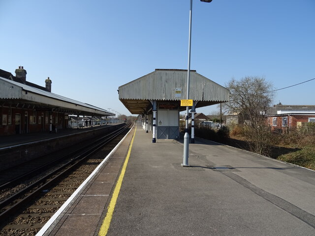
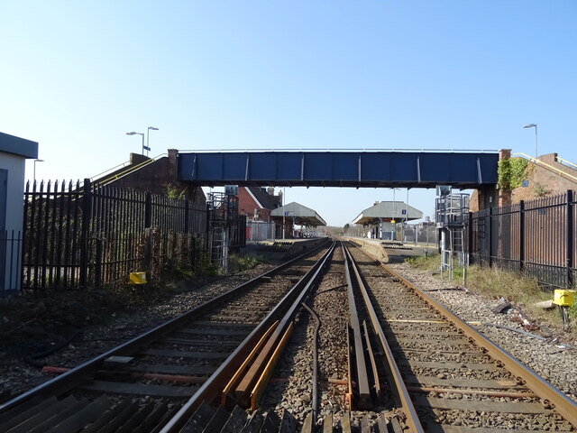
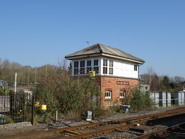
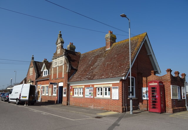
Wareham railway station
Wareham railway station serves the historic market town of Wareham in Dorset, England. It is situated about 0.6 miles (1 km) north of the town centre....
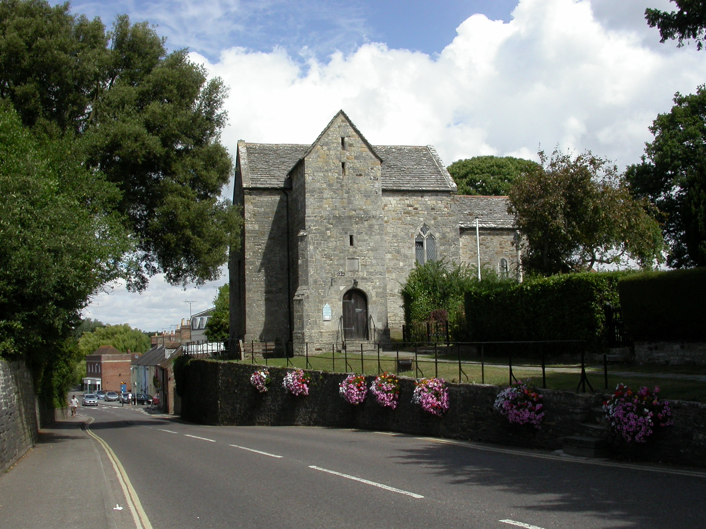
St Martin's Church, Wareham
St Martin's Church, Wareham, sometimes St Martin's-on-the-walls, is an Anglo-Saxon church in the town of Wareham, Dorset in England. It is the most complete...

Wareham Castle and town defences
Wareham Castle and the town defences, known locally as the Walls, were fortifications in the town of Wareham in Dorset, England. == 1st-11th century... ==
Trigon Hill
Trigon Hill is a hill on the edge of a clay pit near Cold Harbour, Dorset, on the Dorset Heaths. It rises about 3 kilometres northwest of the centre of...
Nearby Amenities
Located within 500m of 50.692079,-2.1381227Have you been to Garden Wood?
Leave your review of Garden Wood below (or comments, questions and feedback).