Raydale House Plantation
Wood, Forest in Yorkshire Richmondshire
England
Raydale House Plantation
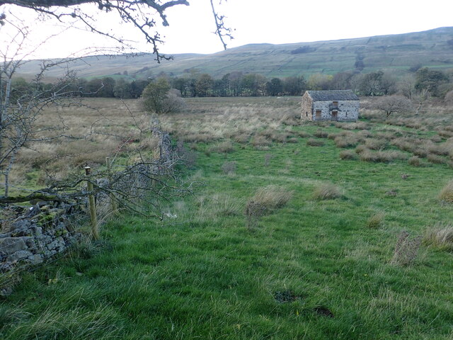
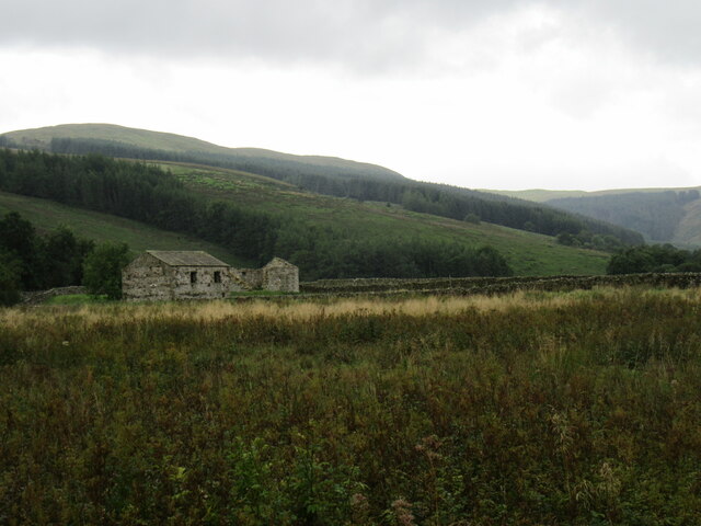
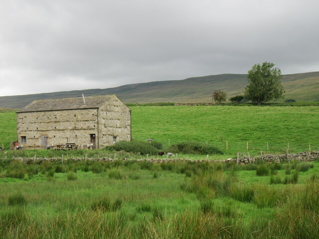
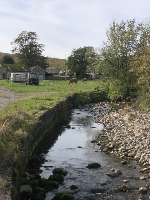
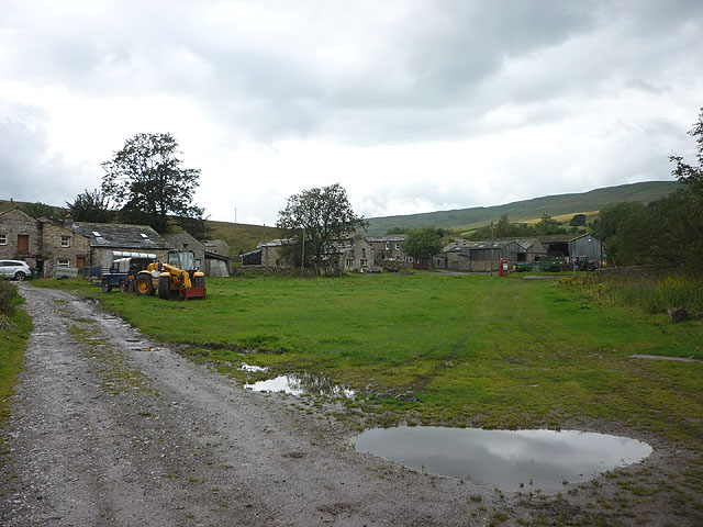
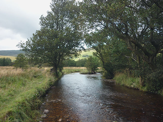
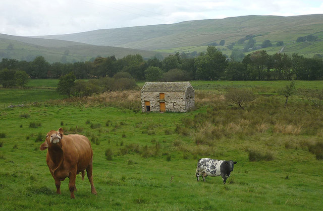
Raydale House Plantation is a picturesque woodland located in the county of Yorkshire, England. This sprawling forest is nestled in the Raydale Valley, surrounded by rolling hills and stunning natural beauty. With its rich history and diverse range of plant and animal species, it has become a popular destination for nature enthusiasts and outdoor adventurers.
The plantation covers an area of approximately 500 acres, making it one of the largest woodlands in the region. It is predominantly composed of native broadleaf trees, including oak, beech, and birch, which create a dense and leafy canopy. The forest floor is adorned with a vibrant carpet of wildflowers, adding to its enchanting atmosphere.
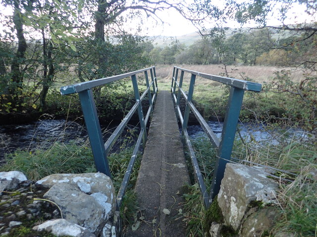
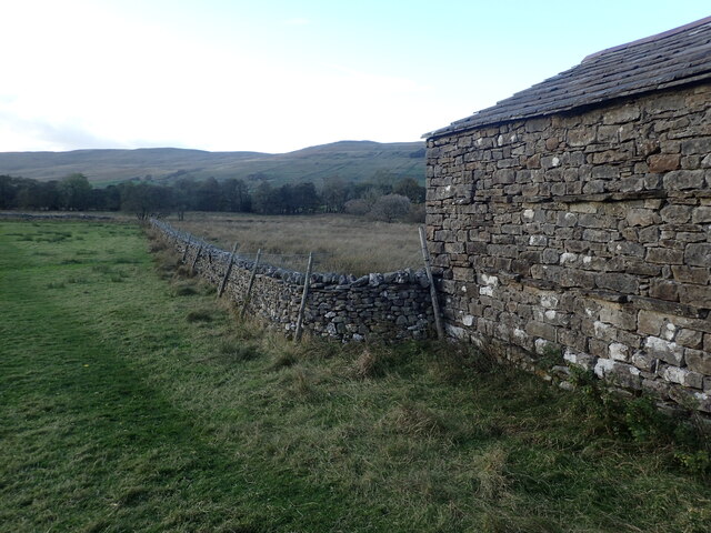
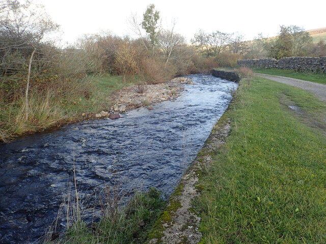
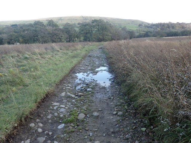
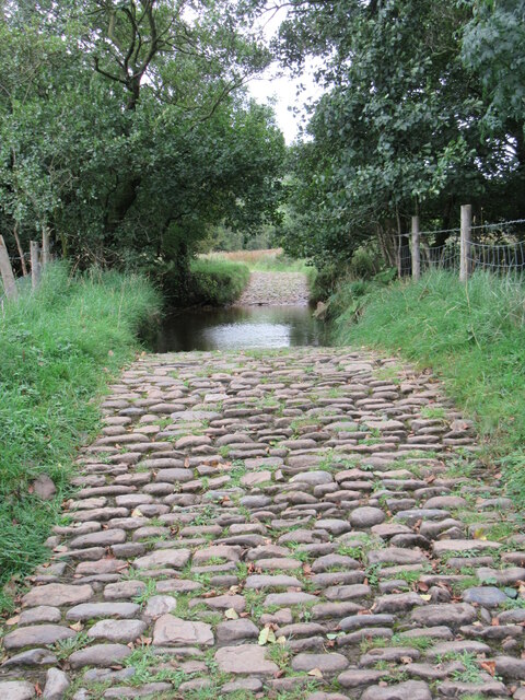
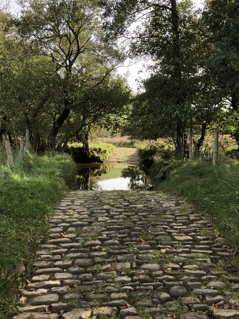
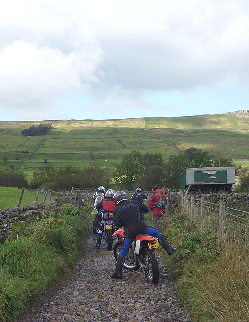
Visitors to Raydale House Plantation can explore its many walking trails, which wind through the woodland and offer breathtaking views of the surrounding countryside. The trails are well-maintained and suitable for all ages and abilities, making it an ideal destination for families and solo hikers alike.
The plantation is also home to a diverse range of wildlife, including deer, foxes, and a variety of bird species. Ornithologists will be delighted by the opportunity to spot rare and migratory birds, such as the red kite and the tawny owl. The woodland provides an important habitat for these creatures, offering shelter and sustenance throughout the year.
Overall, Raydale House Plantation is a natural haven for those seeking solace in nature. Its ancient trees, tranquil trails, and abundant wildlife make it an idyllic destination for anyone wishing to immerse themselves in the beauty of Yorkshire's countryside.
If you have any feedback on the listing, please let us know in the comments section below.
Raydale House Plantation Images
Images are sourced within 2km of 54.253995/-2.1499077 or Grid Reference SD9084. Thanks to Geograph Open Source API. All images are credited.


Raydale House Plantation is located at Grid Ref: SD9084 (Lat: 54.253995, Lng: -2.1499077)
Division: North Riding
Administrative County: North Yorkshire
District: Richmondshire
Police Authority: North Yorkshire
What 3 Words
///speeded.defected.powering. Near Leyburn, North Yorkshire
Nearby Locations
Related Wikis

Marsett
Marsett is one of three settlements in around Semer Water in Raydale, a small side dale off Wensleydale in North Yorkshire, England. Marsett is only a...

Stalling Busk
Stalling Busk is one of three settlements around Semer Water in the former Richmondshire district of North Yorkshire in the small dale of Raydale just...

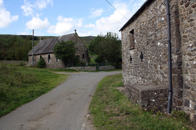
St Matthew's Church, Stalling Busk
St Matthew's Church, Stalling Busk is a Grade II listed parish church in the Church of England in Stalling Busk, North Yorkshire. == History == The church...
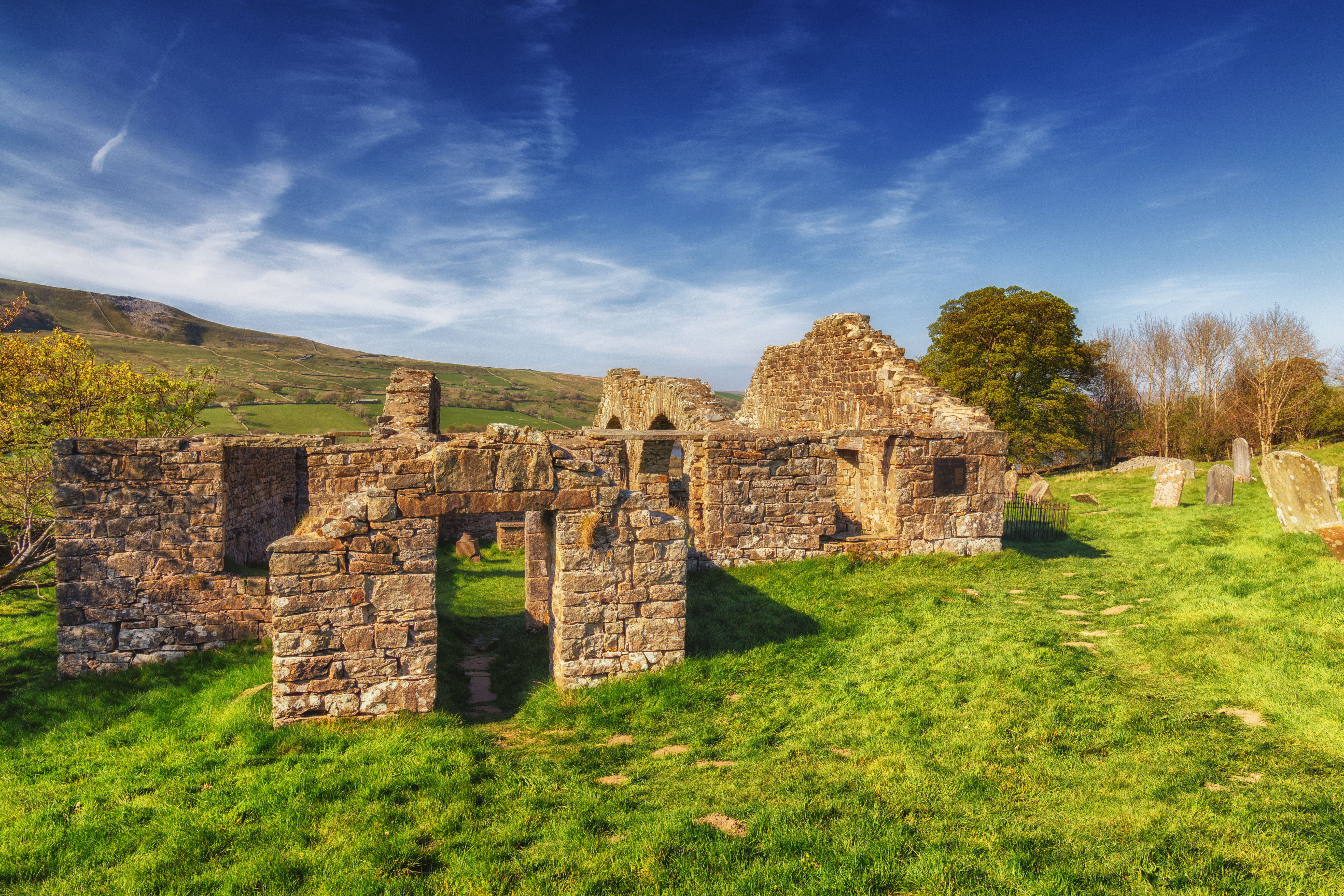
Old St Matthew's Church, Stalling Busk
Old St Matthew's Church is a former church in Stalling Busk, a village in North Yorkshire, in England. The first church in Stalling Busk was built in 1603...
Nearby Amenities
Located within 500m of 54.253995,-2.1499077Have you been to Raydale House Plantation?
Leave your review of Raydale House Plantation below (or comments, questions and feedback).