Stubhampton Belt
Wood, Forest in Dorset
England
Stubhampton Belt
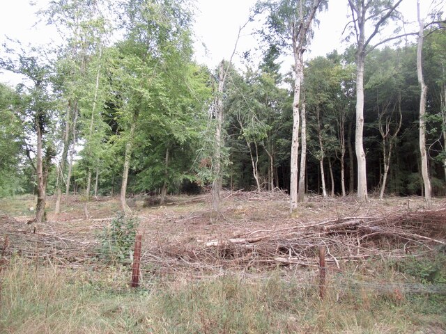
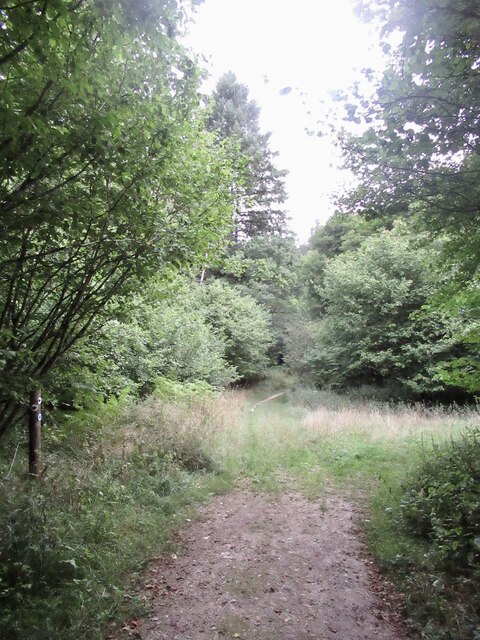
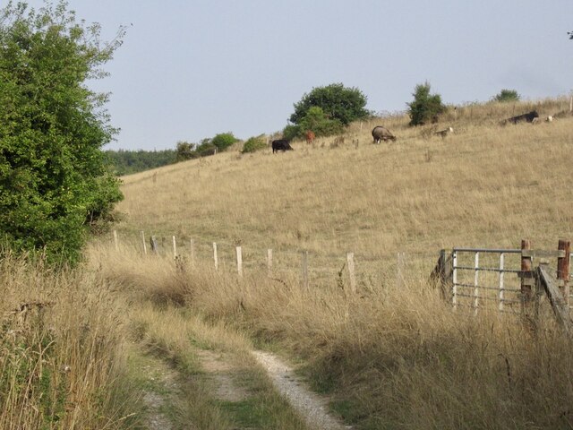
Stubhampton Belt is a woodland area located in the county of Dorset, in the southern part of England. Covering an approximate area of 200 acres, this forested belt is renowned for its natural beauty and diverse flora and fauna.
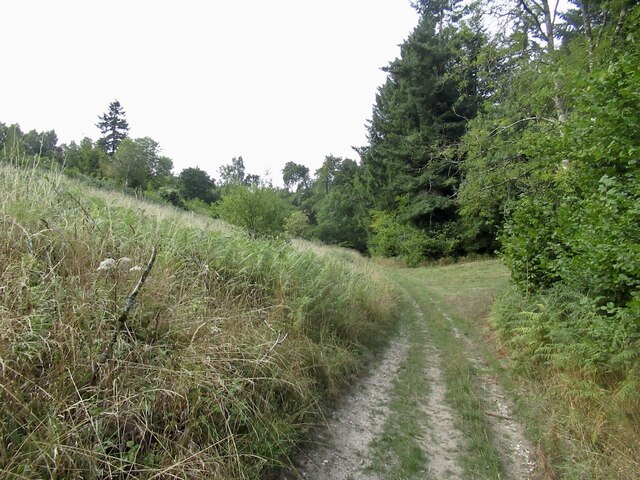
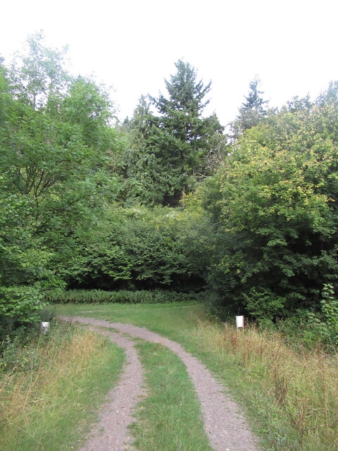
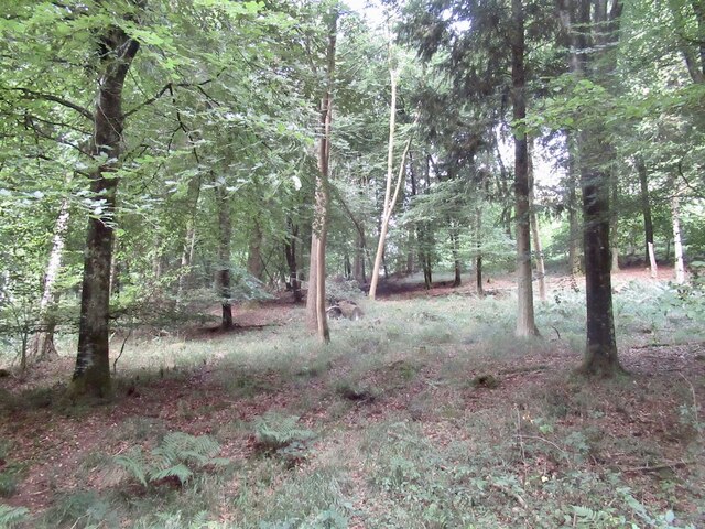
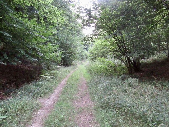
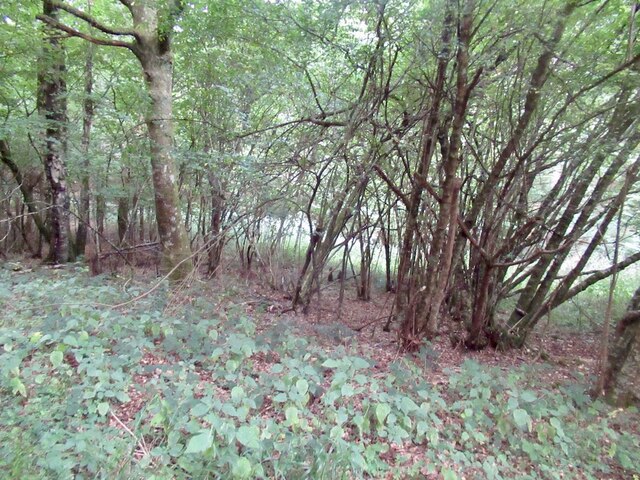
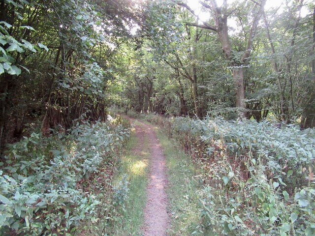
The woodland is predominantly composed of broadleaf trees, including oak, beech, and ash, which create a dense and lush canopy. The forest floor is adorned with a variety of wildflowers, such as bluebells and primroses, providing a picturesque setting during the spring months.
Stubhampton Belt is home to a rich array of wildlife, making it a popular destination for nature enthusiasts and birdwatchers. The forest provides a habitat for several bird species, including woodpeckers, tawny owls, and various songbirds. Additionally, mammals such as badgers, foxes, and deer can also be spotted roaming within the woodland.
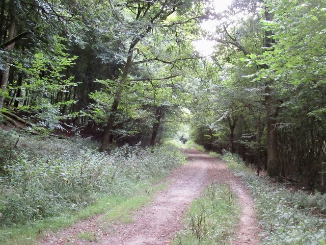
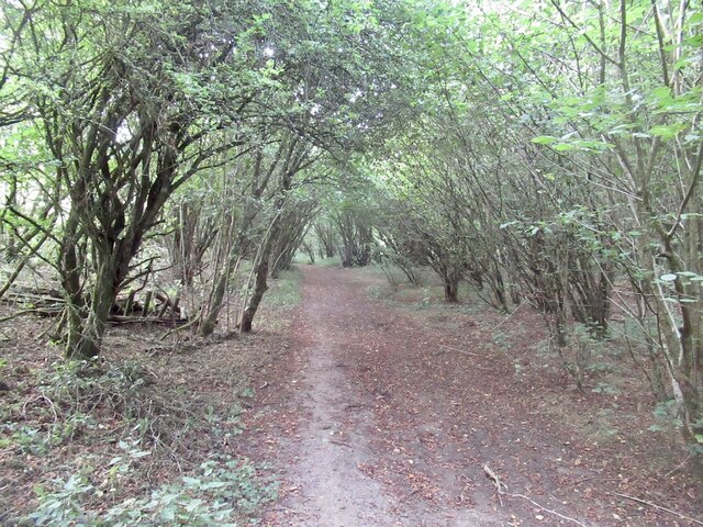
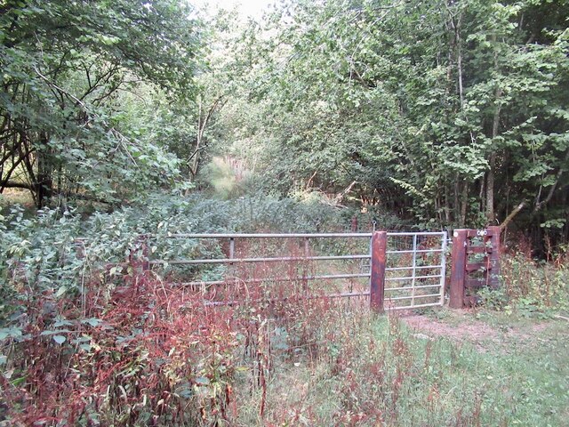
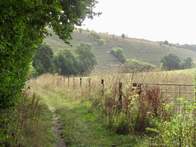
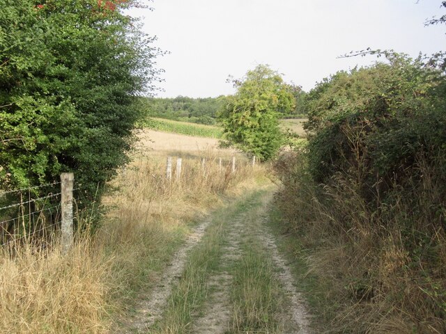
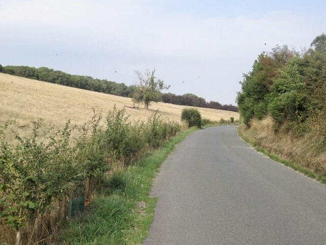
The forest offers numerous walking trails and paths that allow visitors to explore its natural wonders. These well-maintained routes offer opportunities for peaceful strolls, birdwatching, and photography. One of the most popular trails leads to a tranquil pond, where visitors can relax and enjoy the serenity of the surroundings.
Stubhampton Belt is not only a haven for wildlife but also plays a vital role in the local ecosystem. The forest helps to purify the air, prevent soil erosion, and provide a natural habitat for a wide range of species. It is protected by local conservation efforts to ensure its preservation for future generations to enjoy.
In conclusion, Stubhampton Belt in Dorset is a beautiful woodland area, offering a peaceful retreat in the midst of nature. With its diverse flora and fauna, it provides a wonderful opportunity to connect with the natural world and appreciate the importance of preserving such environments.
If you have any feedback on the listing, please let us know in the comments section below.
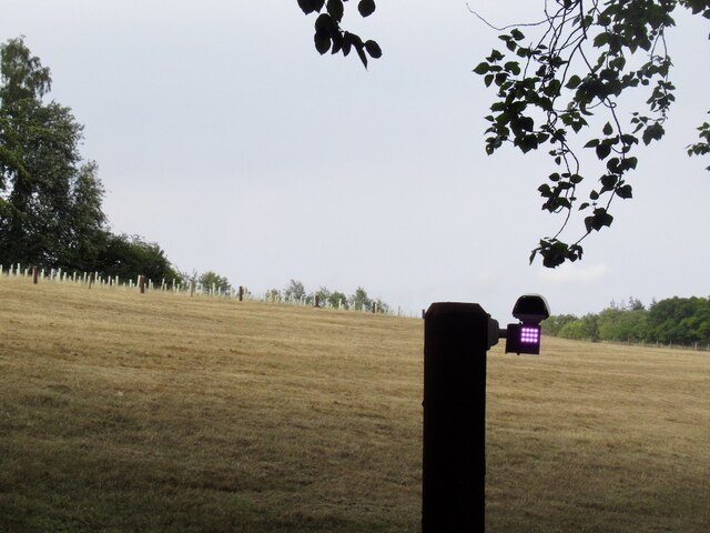
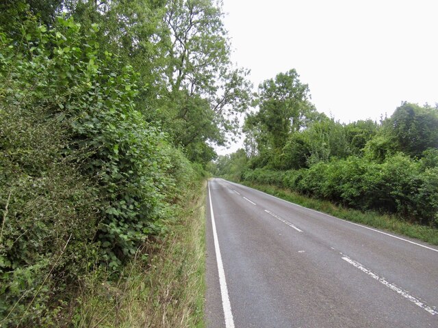
Stubhampton Belt Images
Images are sourced within 2km of 50.928456/-2.1390363 or Grid Reference ST9014. Thanks to Geograph Open Source API. All images are credited.
Stubhampton Belt is located at Grid Ref: ST9014 (Lat: 50.928456, Lng: -2.1390363)
Unitary Authority: Dorset
Police Authority: Dorset
What 3 Words
///driveways.material.friend. Near Pimperne, Dorset
Related Wikis

Tarrant Gunville
Tarrant Gunville is a village and civil parish in north Dorset, England, situated at the head of the Tarrant Valley on Cranborne Chase five miles (eight...

Eastbury Park
Eastbury Park was a country estate near Tarrant Gunville in Dorset, England. It contained a large mansion designed by Sir John Vanbrugh. The mansion has...

Iwerne Stepleton
Iwerne Stepleton (anciently Ewern Stapleton, etc.) is a small civil parish and former manor in the county of Dorset, England. The parish comprises about...

Iwerne Minster
Iwerne Minster ( YOO-ern) is a village and civil parish in Dorset, England. It lies on the edge of the Blackmore Vale, approximately midway between the...

Ashmore
Ashmore is a village and civil parish in the North Dorset district of Dorset, England, 20 miles (32 kilometres) southwest of Salisbury. The village is...
Clayesmore School
Clayesmore School is an independent school for boys and girls, aged 8 – 18 years, in the village of Iwerne Minster, Dorset, England. It is both a day...

Compton Abbas Airfield
Compton Abbas Airfield (IATA: n/a, ICAO: EGHA) is a grass airstrip 2.7 NM (5.0 km; 3.1 mi) south of Shaftesbury, Dorset, England. Compton Abbas Aerodrome...
Sutton Waldron
Sutton Waldron is a village and civil parish in north Dorset, England, situated on the A350 road between Iwerne Minster and Fontmell Magna, in the Blackmore...
Nearby Amenities
Located within 500m of 50.928456,-2.1390363Have you been to Stubhampton Belt?
Leave your review of Stubhampton Belt below (or comments, questions and feedback).