Earl's Hill Coppice
Wood, Forest in Dorset
England
Earl's Hill Coppice
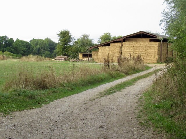
Earl's Hill Coppice, located in Dorset, England, is a picturesque woodland area known for its natural beauty and diverse ecosystem. Spanning over a vast area, this wood is a haven for nature enthusiasts and hikers alike.
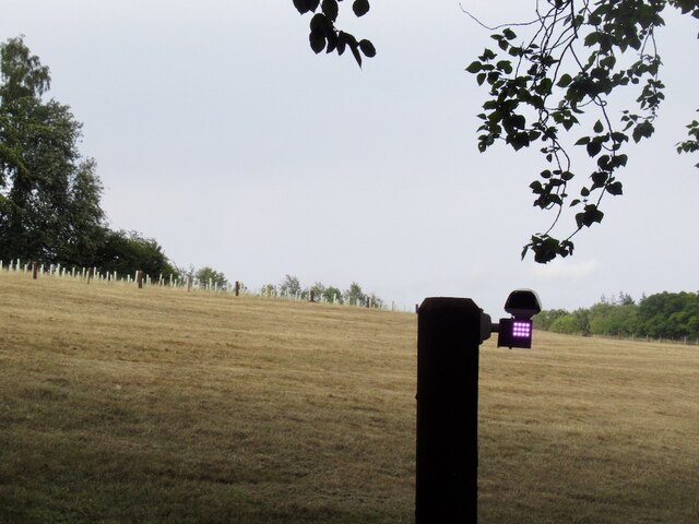
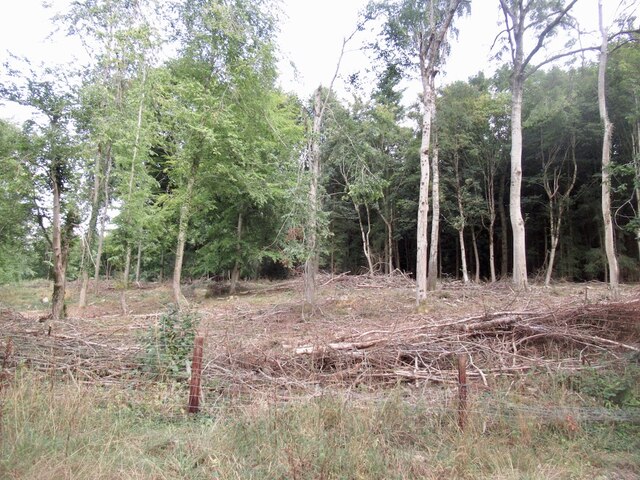
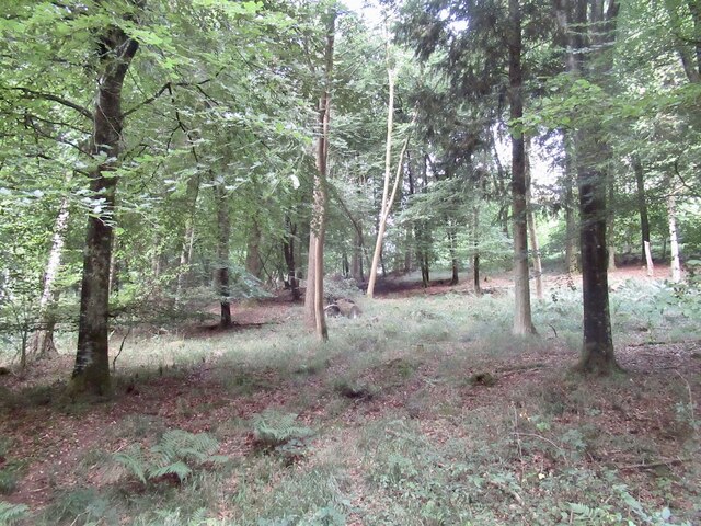
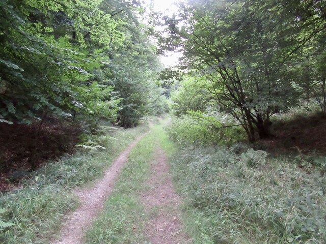
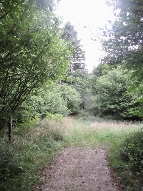
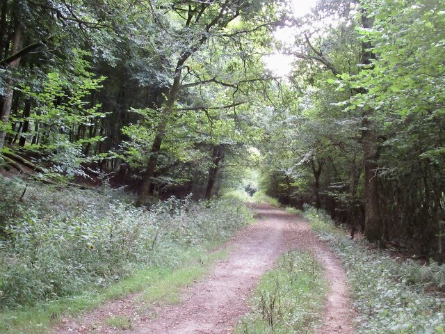
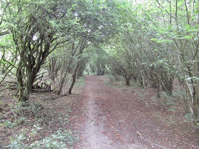
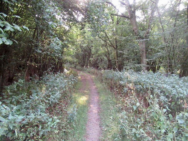
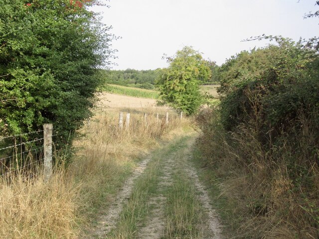
The coppice, which refers to a woodland managed for the production of timber, is characterized by its dense canopy of broadleaf trees such as oak, beech, and ash. These towering trees create a serene and peaceful atmosphere, providing shade and shelter to a range of flora and fauna.
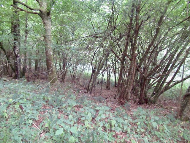
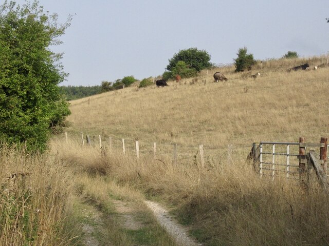
The forest floor is carpeted with a rich variety of plants, including bluebells, wood sorrel, and wild garlic, which create a vibrant and colorful display during the spring and summer months. This diverse undergrowth provides an ideal habitat for numerous animal species, including deer, foxes, badgers, and a wide array of bird species.
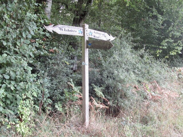
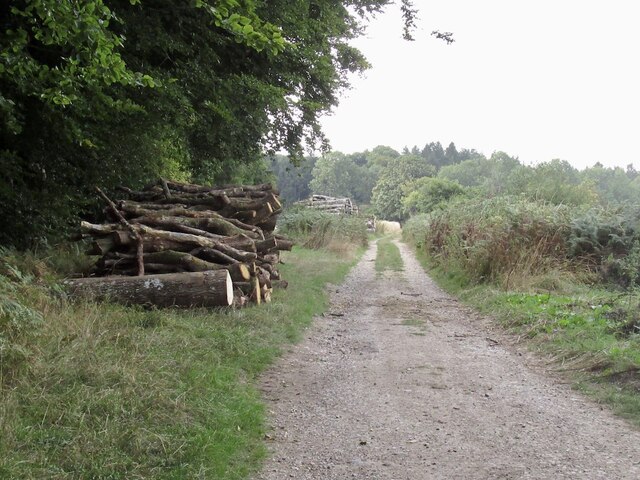
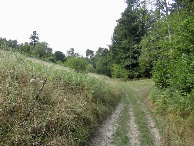
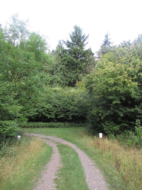
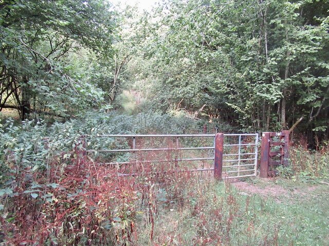
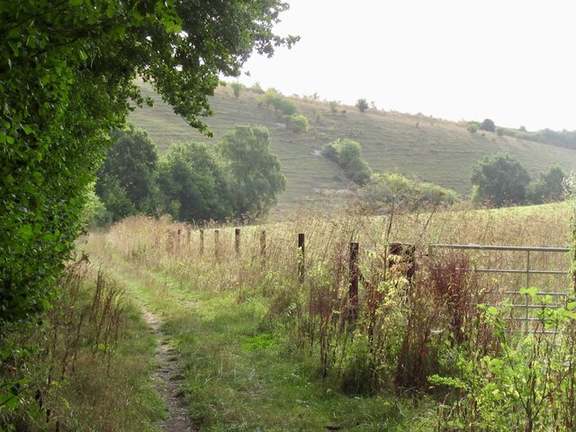
The woodland is crisscrossed by a network of well-maintained footpaths and trails, allowing visitors to explore the area and immerse themselves in its natural wonders. These paths lead to stunning viewpoints, where one can admire the breathtaking vistas of the surrounding countryside and enjoy the tranquility of the woodland.
Earl's Hill Coppice also holds historical significance, with remnants of ancient earthworks and burial mounds dating back to the Iron Age scattered throughout the area. This adds an extra layer of intrigue and fascination to the woodland, attracting history enthusiasts and archaeologists.
Overall, Earl's Hill Coppice in Dorset offers a unique and immersive experience for nature lovers, history buffs, and those seeking a peaceful retreat amidst the beauty of the natural world.
If you have any feedback on the listing, please let us know in the comments section below.
Earl's Hill Coppice Images
Images are sourced within 2km of 50.928913/-2.1330188 or Grid Reference ST9014. Thanks to Geograph Open Source API. All images are credited.
Earl's Hill Coppice is located at Grid Ref: ST9014 (Lat: 50.928913, Lng: -2.1330188)
Unitary Authority: Dorset
Police Authority: Dorset
What 3 Words
///essential.buck.vivid. Near Pimperne, Dorset
Related Wikis

Tarrant Gunville
Tarrant Gunville is a village and civil parish in north Dorset, England, situated at the head of the Tarrant Valley on Cranborne Chase five miles (eight...

Eastbury Park
Eastbury Park was a country estate near Tarrant Gunville in Dorset, England. It contained a large mansion designed by Sir John Vanbrugh. The mansion has...

Ashmore
Ashmore is a village and civil parish in the North Dorset district of Dorset, England, 20 miles (32 kilometres) southwest of Salisbury. The village is...

Iwerne Stepleton
Iwerne Stepleton (anciently Ewern Stapleton, etc.) is a small civil parish and former manor in the county of Dorset, England. The parish comprises about...

Iwerne Minster
Iwerne Minster ( YOO-ern) is a village and civil parish in Dorset, England. It lies on the edge of the Blackmore Vale, approximately midway between the...

Larmer Tree Festival
Larmer Tree Festival was a three-day music, comedy and arts festival held annually from 1990 until 2019 at the Larmer Tree Gardens, near Tollard Royal...

Larmer Tree Gardens
The Larmer Tree Gardens near Tollard Royal in south Wiltshire, England, were created by landowner Augustus Pitt Rivers in 1880 as pleasure grounds for...
Clayesmore School
Clayesmore School is an independent school for boys and girls, aged 8 – 18 years, in the village of Iwerne Minster, Dorset, England. It is both a day...
Nearby Amenities
Located within 500m of 50.928913,-2.1330188Have you been to Earl's Hill Coppice?
Leave your review of Earl's Hill Coppice below (or comments, questions and feedback).