Earl's Hill
Hill, Mountain in Dorset
England
Earl's Hill
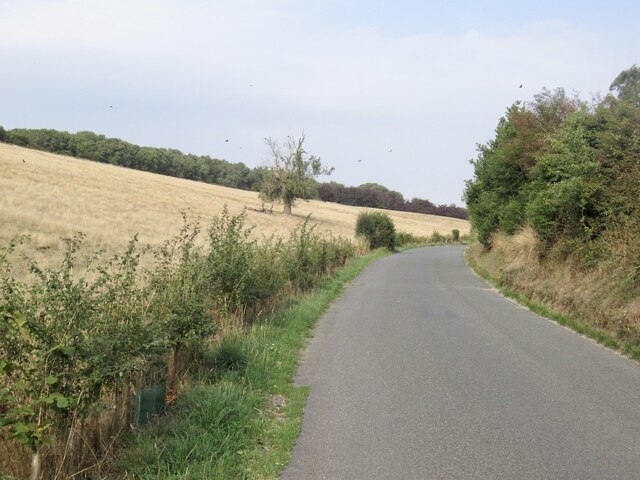
Earl's Hill is a prominent hill located in the county of Dorset, England. Rising to an elevation of approximately 222 meters (728 feet), it is considered one of the highest points in the region. Situated in the eastern part of the county, Earl's Hill is part of the Dorset Downs, a range of chalk hills known for their natural beauty and rolling landscapes.
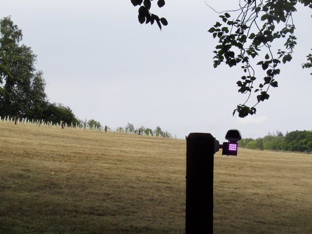
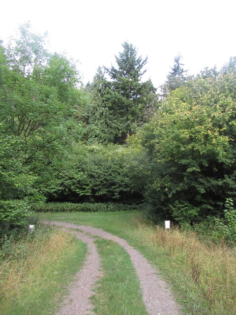
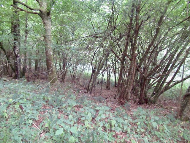
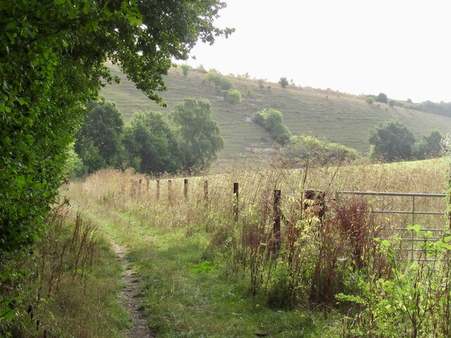
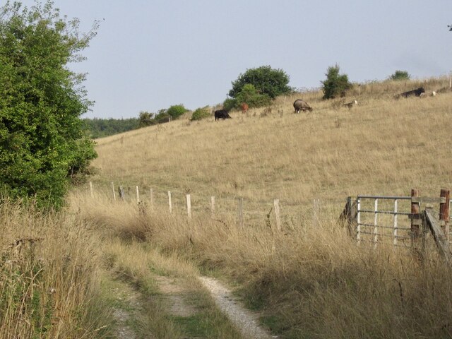
The hill is characterized by its distinctive shape, with a rounded summit and steep slopes covered in grass and occasional patches of shrubs. The summit offers breathtaking panoramic views of the surrounding countryside, including the nearby villages of Sixpenny Handley and Pentridge.
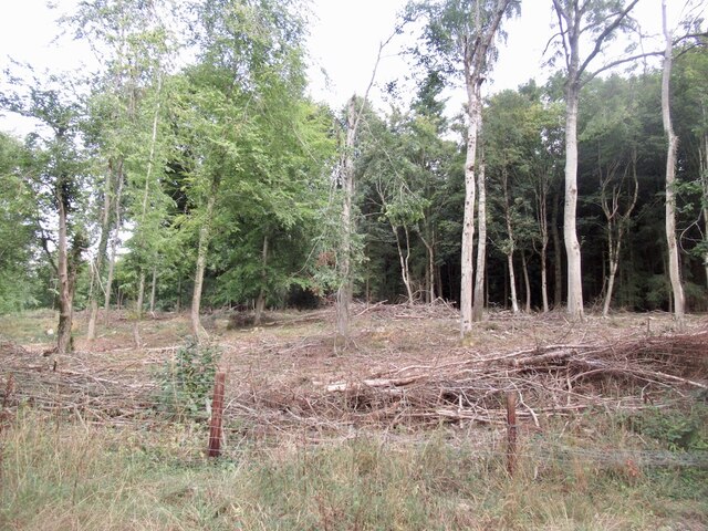
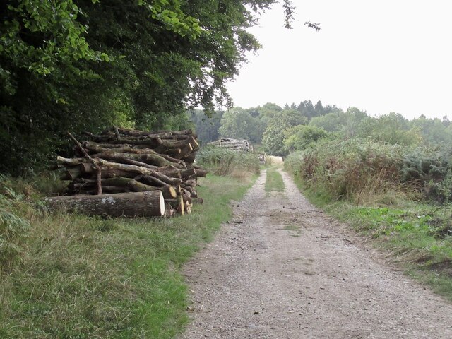
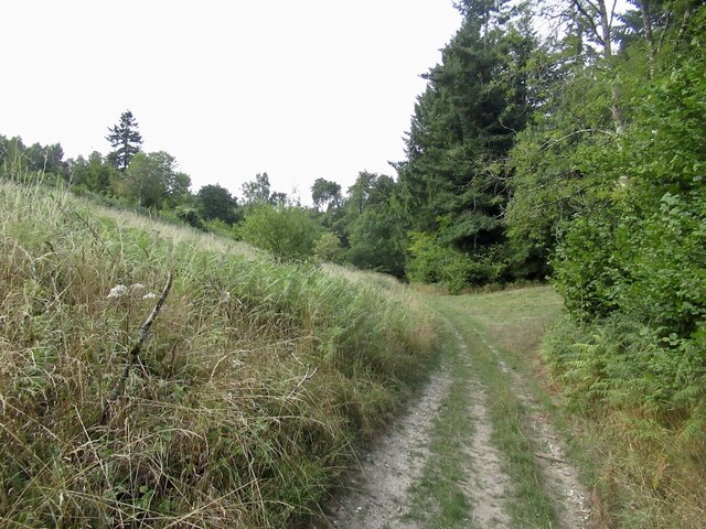
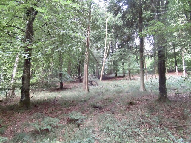
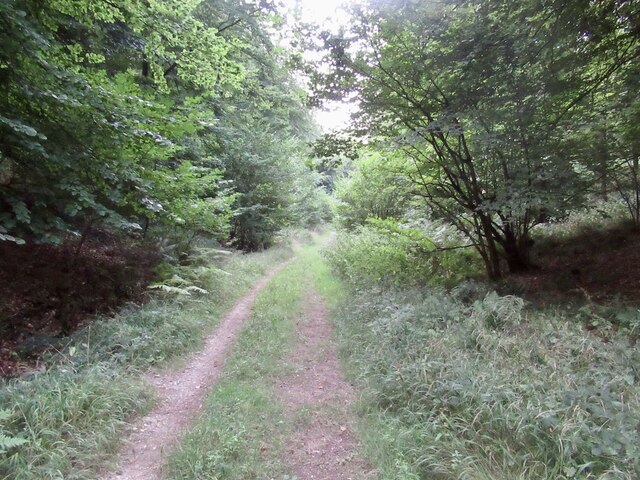
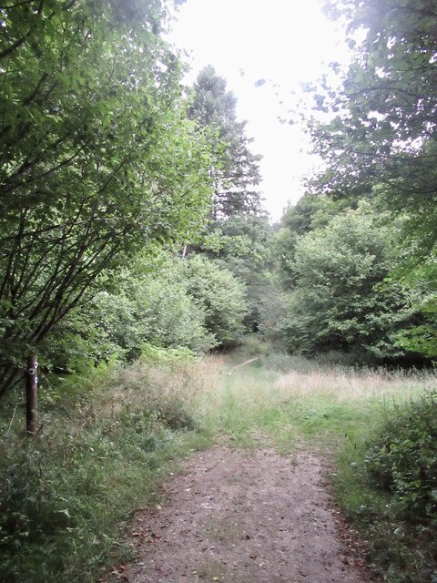
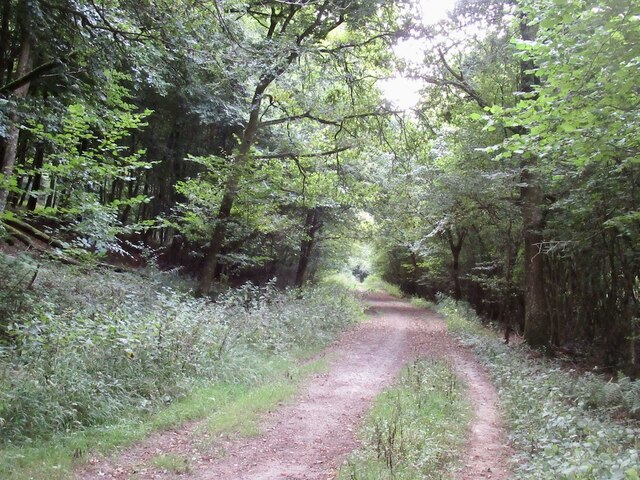
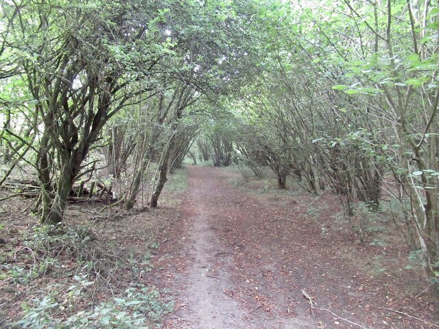
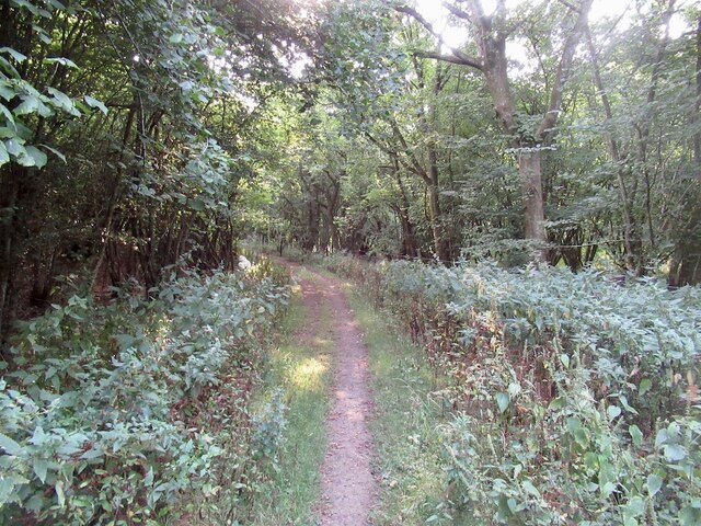
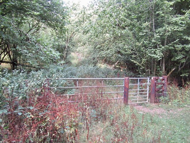
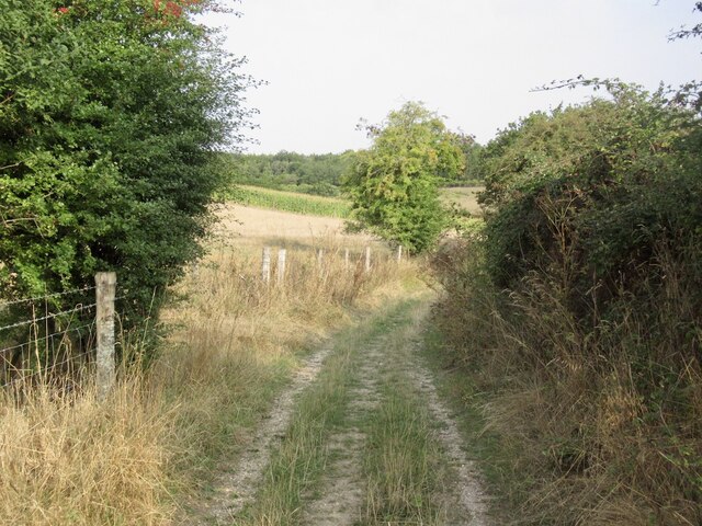
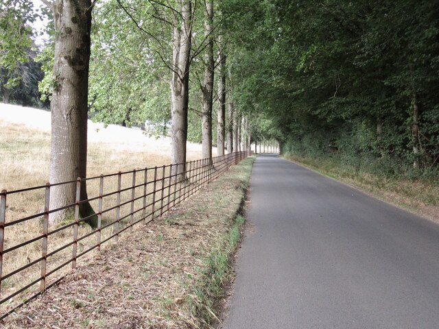
Earl's Hill is a popular destination for outdoor enthusiasts, particularly hikers and walkers, who are drawn to its tranquil and picturesque setting. Several footpaths and trails traverse the hill, allowing visitors to explore its slopes and enjoy the stunning vistas. The hill also attracts birdwatchers, as it provides a habitat for various bird species, including buzzards, kestrels, and skylarks.
Historically, Earl's Hill has played a significant role in the local community. It is believed that the hill derived its name from the fact that it was once owned by the Earls of Pembroke. Additionally, archaeological evidence suggests that the hill was inhabited during the Iron Age, with the remains of an ancient fortification found on its slopes.
In summary, Earl's Hill in Dorset is a prominent and scenic hill that offers visitors stunning views, a variety of walking trails, and a glimpse into the region's rich history.
If you have any feedback on the listing, please let us know in the comments section below.
Earl's Hill Images
Images are sourced within 2km of 50.928222/-2.1315797 or Grid Reference ST9014. Thanks to Geograph Open Source API. All images are credited.
Earl's Hill is located at Grid Ref: ST9014 (Lat: 50.928222, Lng: -2.1315797)
Unitary Authority: Dorset
Police Authority: Dorset
What 3 Words
///yards.sped.stray. Near Pimperne, Dorset
Related Wikis

Tarrant Gunville
Tarrant Gunville is a village and civil parish in north Dorset, England, situated at the head of the Tarrant Valley on Cranborne Chase five miles (eight...

Eastbury Park
Eastbury Park was a country estate near Tarrant Gunville in Dorset, England. It contained a large mansion designed by Sir John Vanbrugh. The mansion has...

Ashmore
Ashmore is a village and civil parish in the North Dorset district of Dorset, England, 20 miles (32 kilometres) southwest of Salisbury. The village is...

Iwerne Stepleton
Iwerne Stepleton (anciently Ewern Stapleton, etc.) is a small civil parish and former manor in the county of Dorset, England. The parish comprises about...

Iwerne Minster
Iwerne Minster ( YOO-ern) is a village and civil parish in Dorset, England. It lies on the edge of the Blackmore Vale, approximately midway between the...

Larmer Tree Festival
Larmer Tree Festival was a three-day music, comedy and arts festival held annually from 1990 until 2019 at the Larmer Tree Gardens, near Tollard Royal...

Larmer Tree Gardens
The Larmer Tree Gardens near Tollard Royal in south Wiltshire, England, were created by landowner Augustus Pitt Rivers in 1880 as pleasure grounds for...

Tarrant Hinton
Tarrant Hinton is a village and civil parish in the county of Dorset in southern England. It is situated in the Tarrant Valley, approximately five miles...
Nearby Amenities
Located within 500m of 50.928222,-2.1315797Have you been to Earl's Hill?
Leave your review of Earl's Hill below (or comments, questions and feedback).