Great Close Plantation
Wood, Forest in Yorkshire Craven
England
Great Close Plantation
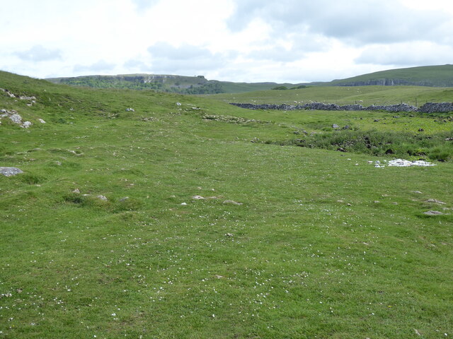
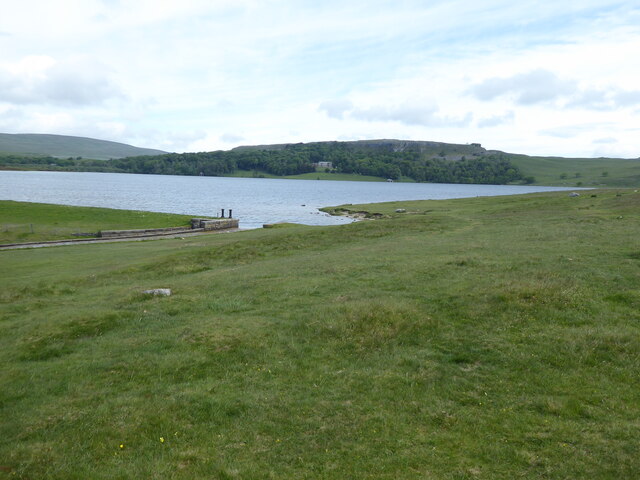
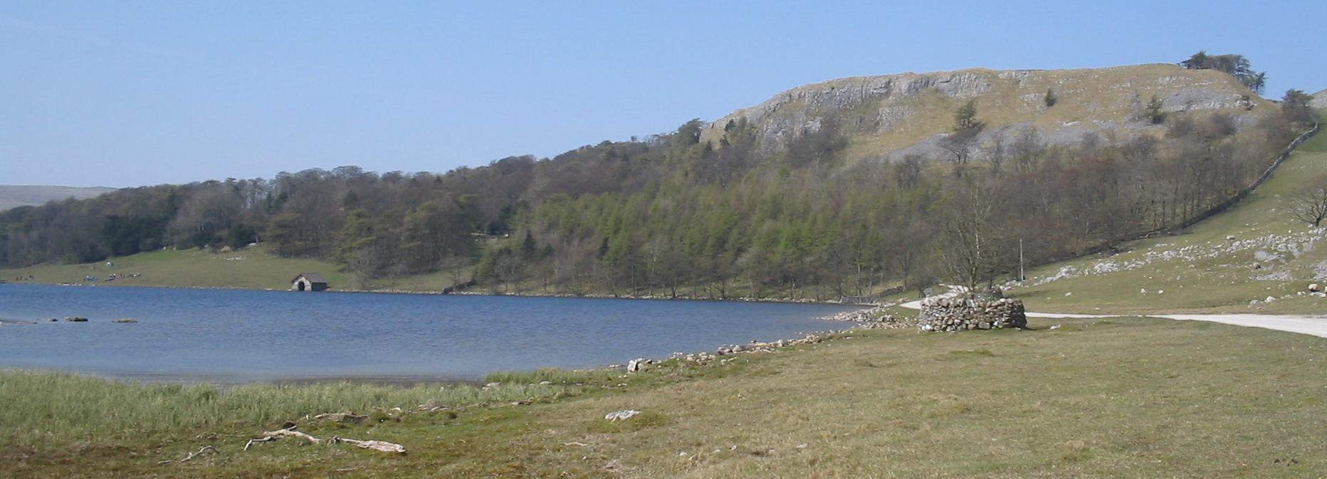
Great Close Plantation is a picturesque woodland located in Yorkshire, England. Situated in the heart of the county, this woodland spans over a vast area, making it a popular destination for nature enthusiasts and hikers alike. The plantation is well-known for its abundant flora and fauna, offering a diverse range of plant and animal species.
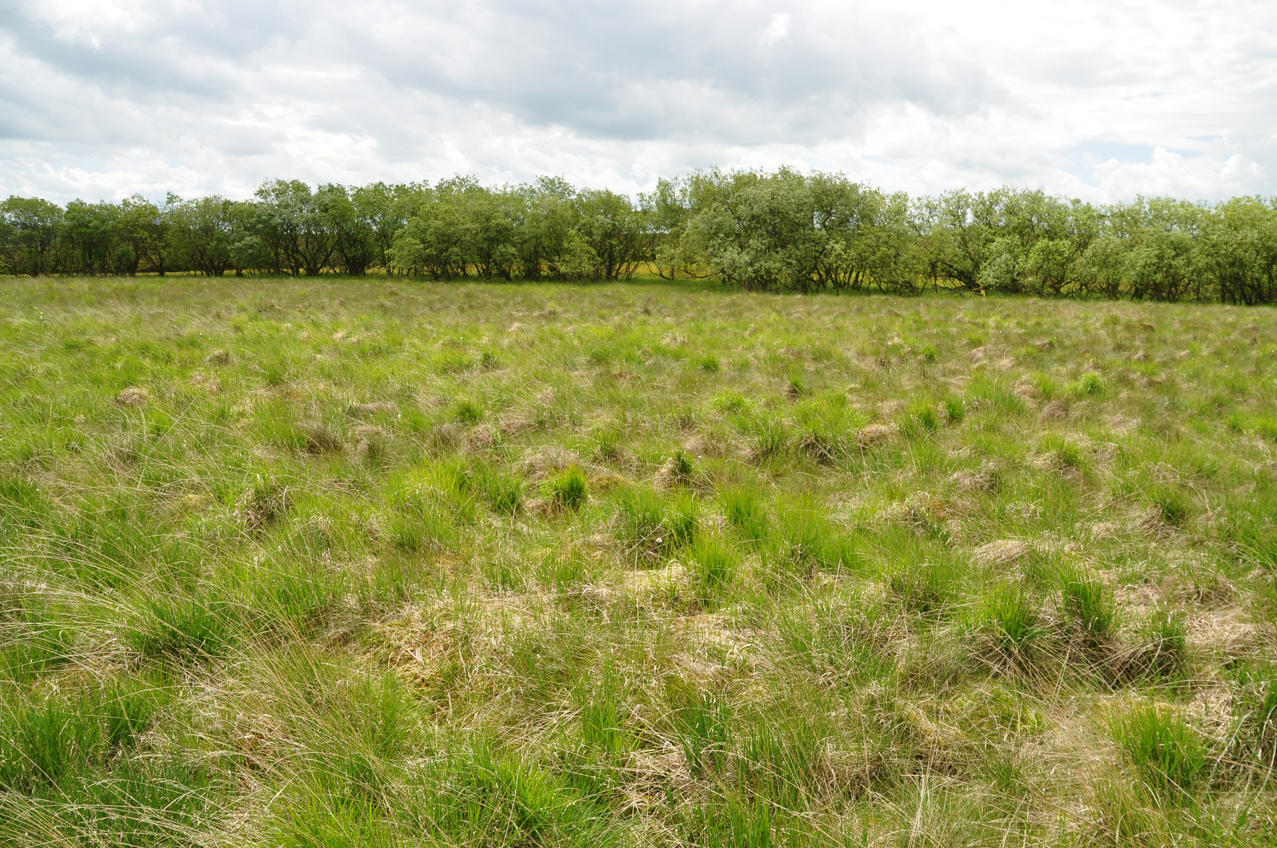
The woodland is characterized by its dense canopy of mature trees, including oak, beech, and birch. The towering trees provide a serene and peaceful atmosphere, making it an ideal escape from the hustle and bustle of everyday life. The forest floor is carpeted with a variety of wildflowers, creating a vibrant and colorful display during the spring and summer months.
Great Close Plantation is home to a wide range of wildlife, offering a haven for many species. Visitors may catch a glimpse of red squirrels scurrying through the trees or spot deer grazing in the peaceful clearings. Birdwatchers will be delighted by the numerous bird species that inhabit the woodland, including woodpeckers, owls, and various songbirds.
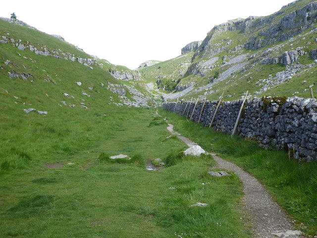
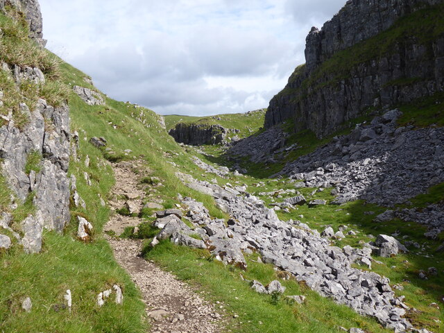
The plantation features a network of well-maintained trails, allowing visitors to explore the woodland at their own pace. These paths wind through the trees, offering breathtaking views of the surrounding countryside. Additionally, there are several picnic areas and benches scattered throughout the woodland, providing the perfect spot to rest and enjoy the tranquil surroundings.
Overall, Great Close Plantation is a stunning woodland that offers a unique and immersive experience for nature lovers. Its diverse ecosystem, scenic beauty, and peaceful ambiance make it a must-visit destination for anyone seeking a connection with nature in Yorkshire.
If you have any feedback on the listing, please let us know in the comments section below.
Great Close Plantation Images
Images are sourced within 2km of 54.093203/-2.1491277 or Grid Reference SD9066. Thanks to Geograph Open Source API. All images are credited.


Great Close Plantation is located at Grid Ref: SD9066 (Lat: 54.093203, Lng: -2.1491277)
Division: West Riding
Administrative County: North Yorkshire
District: Craven
Police Authority: North Yorkshire
What 3 Words
///instilled.tiger.midfield. Near Settle, North Yorkshire
Nearby Locations
Related Wikis
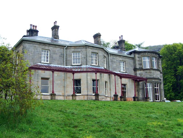
Malham Tarn Estate
Malham Tarn Estate is a National Trust property in North Yorkshire, England. The estate is located in the Pennines and lies between Wharfedale and Ribblesdale...
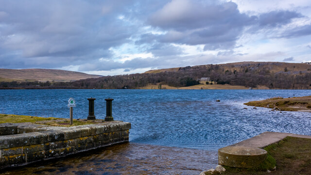
Malham Tarn
Malham Tarn is a glacial lake near the village of Malham in the Yorkshire Dales, England. The lake is one of only eight upland alkaline lakes in Europe...
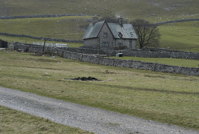
Malham Tarn Field Studies Centre
FSC Malham Tarn, situated near Malham Tarn in the Yorkshire Dales National Park, North Yorkshire, England, occupies a large Georgian country house, leased...
Malham Moor
Malham Moor is a civil parish in the Craven district of North Yorkshire, England. Its population was estimated at 70 in 2015.It has a joint parish council...

Malham Cove
Malham Cove is a large curved limestone formation 0.6 miles (1 km) north of the village of Malham, North Yorkshire, England. It was formed by a waterfall...
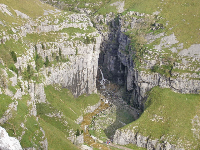
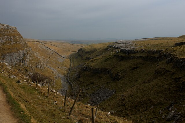
Gordale Scar
Gordale Scar is a limestone ravine 1 mile (1.6 km) north-east of Malham, North Yorkshire, England. It contains two waterfalls and has overhanging limestone...

Friar Garth Farmhouse
Friar Garth Farmhouse is a Grade II listed building in Malham, North Yorkshire, England. It was listed as an historic site by English Heritage on 13 September...

Malham
Malham is a village and civil parish in the Craven district of North Yorkshire, England. Before 20th century boundary changes, the village was part of...
Nearby Amenities
Located within 500m of 54.093203,-2.1491277Have you been to Great Close Plantation?
Leave your review of Great Close Plantation below (or comments, questions and feedback).