Hollin Wood
Wood, Forest in Staffordshire Staffordshire Moorlands
England
Hollin Wood
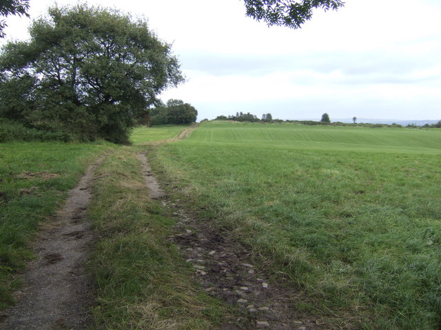
Hollin Wood is a picturesque woodland located in the county of Staffordshire, England. Spanning over an area of approximately 200 acres, it is nestled in the heart of the Staffordshire Moorlands district. The wood is situated near the village of Hollington, just a few miles south of the town of Leek.
Hollin Wood is predominantly made up of deciduous trees such as oak, beech, and birch, which create a stunning tapestry of colors in autumn. The woodland is known for its dense foliage and thriving wildlife, making it a popular spot for nature enthusiasts and walkers. Visitors can expect to see a variety of bird species, including woodpeckers and owls, as well as small mammals like squirrels and rabbits.
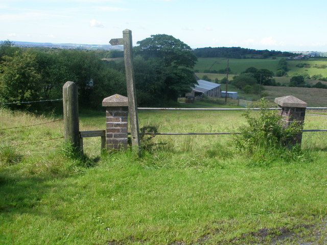
The wood is intersected by several footpaths and trails, providing a network of routes for visitors to explore. These paths lead to charming spots, such as tranquil ponds and clearings, where visitors can rest and enjoy the peaceful surroundings. The wood also offers breathtaking views of the surrounding countryside, with rolling hills and fields stretching into the distance.
Hollin Wood is managed by the Forestry Commission, ensuring the preservation and maintenance of its natural beauty. The commission regularly carries out conservation work, such as tree planting and habitat management, to protect the woodland's ecosystem.
Overall, Hollin Wood is a serene and enchanting woodland, offering a tranquil escape from the hustle and bustle of everyday life. With its diverse flora and fauna, stunning scenery, and well-maintained footpaths, it is a must-visit destination for nature lovers and those seeking a peaceful retreat in the heart of Staffordshire.
If you have any feedback on the listing, please let us know in the comments section below.
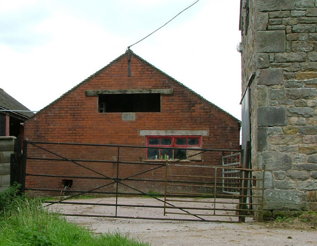
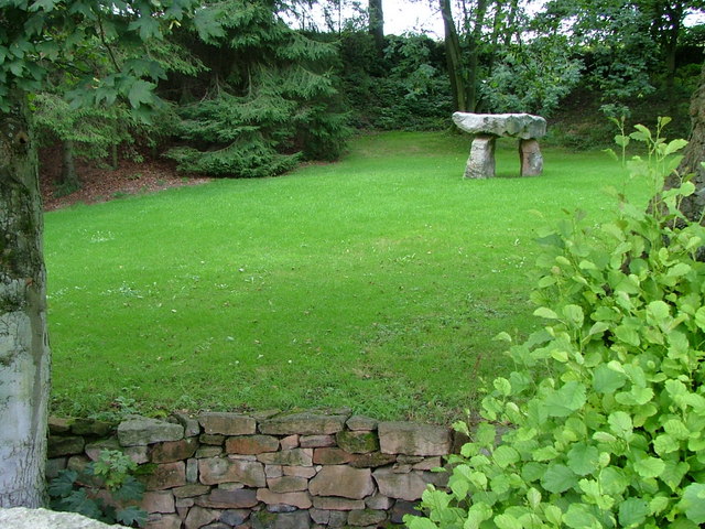
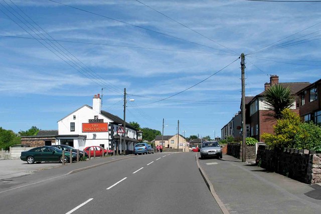
Hollin Wood Images
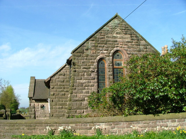
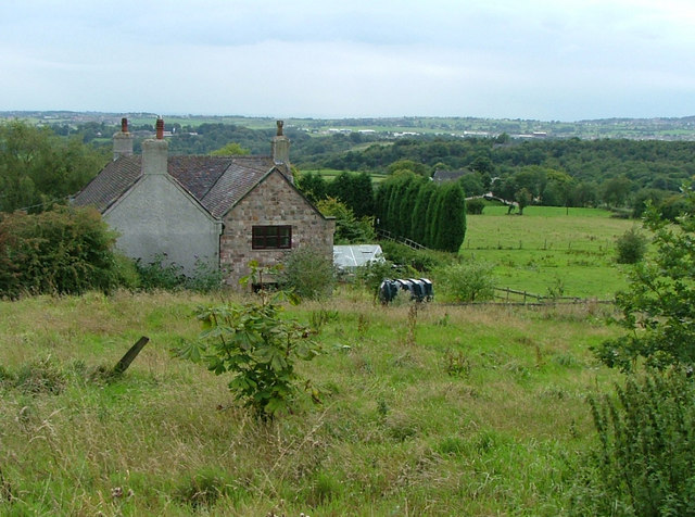
Images are sourced within 2km of 53.094345/-2.1494831 or Grid Reference SJ9055. Thanks to Geograph Open Source API. All images are credited.


Hollin Wood is located at Grid Ref: SJ9055 (Lat: 53.094345, Lng: -2.1494831)
Administrative County: Staffordshire
District: Staffordshire Moorlands
Police Authority: Staffordshire
What 3 Words
///announced.surfer.walked. Near Biddulph, Staffordshire
Nearby Locations
Related Wikis

Knypersley Reservoir
Knypersley Reservoir near Biddulph, Staffordshire, England, was built in 1827 to supply water to the Caldon Canal, along with two others at Stanley Pool...
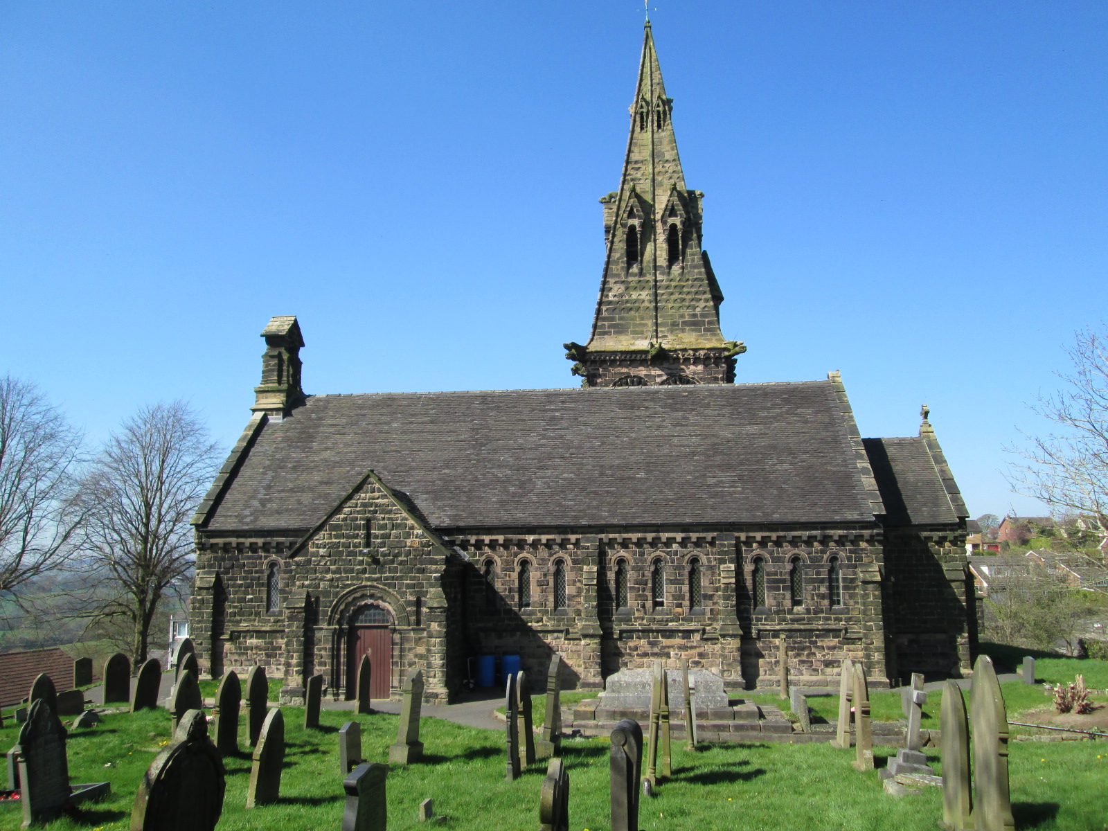
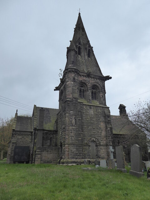
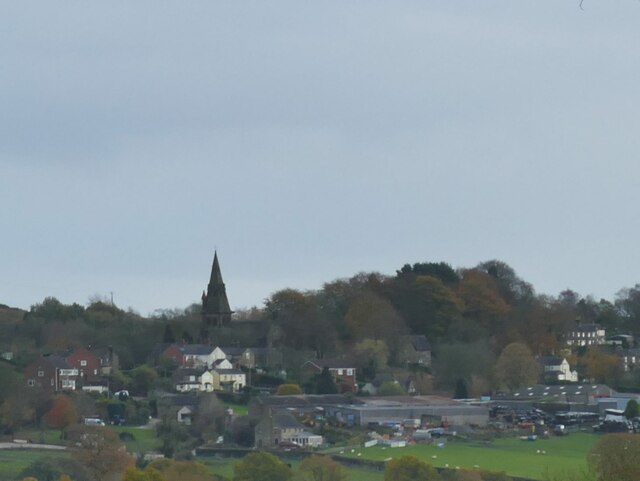
St Anne's Church, Brown Edge
St Anne's Church is an Anglican church in Brown Edge, Staffordshire, England, and in the Diocese of Lichfield. The building is Grade II listed. == History... ==

Biddulph High School
Biddulph High School is a mixed upper school (termed 'high school') and sixth form located in the Knypersley area of Biddulph in the English county of...
Ridgeway, Staffordshire
Ridgeway is a hamlet on the boundary of Brown Edge and Stoke-on-Trent in Staffordshire, England. == References ==
Nearby Amenities
Located within 500m of 53.094345,-2.1494831Have you been to Hollin Wood?
Leave your review of Hollin Wood below (or comments, questions and feedback).