Home Plantation
Wood, Forest in Dorset
England
Home Plantation
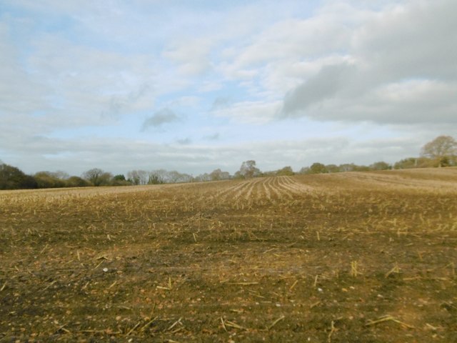
Home Plantation is a charming woodland area located in the picturesque county of Dorset, England. Nestled within the county's rich landscape, this plantation is a haven for nature enthusiasts and those seeking a peaceful retreat.
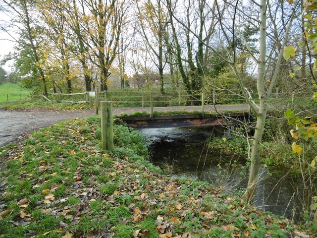
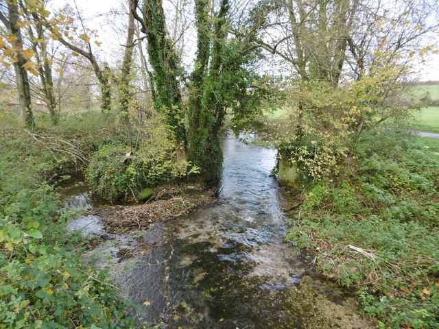
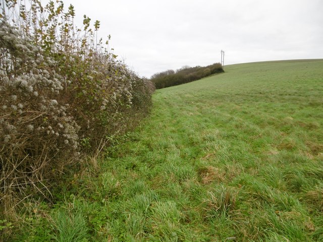
Situated in the heart of the county, Home Plantation spans across a vast area of lush greenery, encompassing a variety of tree species. The dominant tree species in this woodland are oak and beech, which provide a dense and vibrant canopy. The forest floor is covered in a thick layer of leaf litter, creating a serene and natural ambience.
The plantation is home to a diverse range of flora and fauna, including various species of wildflowers, ferns, and mosses. It offers a habitat for numerous bird species, such as woodpeckers, owls, and thrushes, making it a popular spot for birdwatching. The woodland also attracts small mammals like squirrels, rabbits, and hedgehogs.
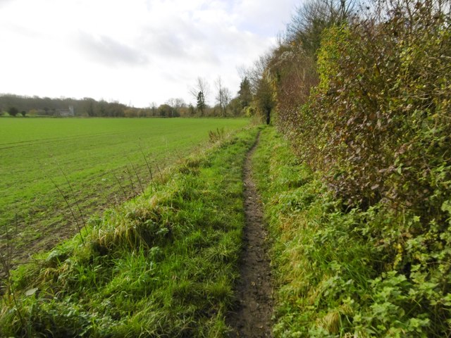
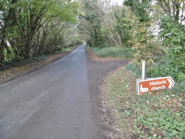
Visitors to Home Plantation can explore the woodland through a network of well-maintained footpaths, allowing for leisurely walks or more adventurous hikes. The plantation offers a peaceful environment for picnics, family outings, or simply enjoying the beauty of nature.
Home Plantation is easily accessible and conveniently located near several nearby towns and villages, making it a popular destination for both locals and tourists. The plantation's natural beauty, tranquility, and abundance of wildlife make it an ideal destination for those seeking solace in nature or a peaceful escape from the hustle and bustle of everyday life.
If you have any feedback on the listing, please let us know in the comments section below.
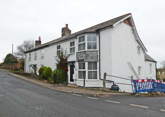
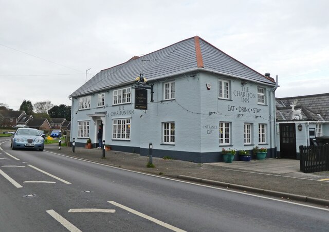
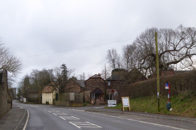
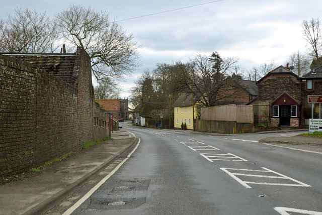
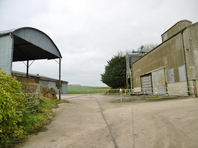
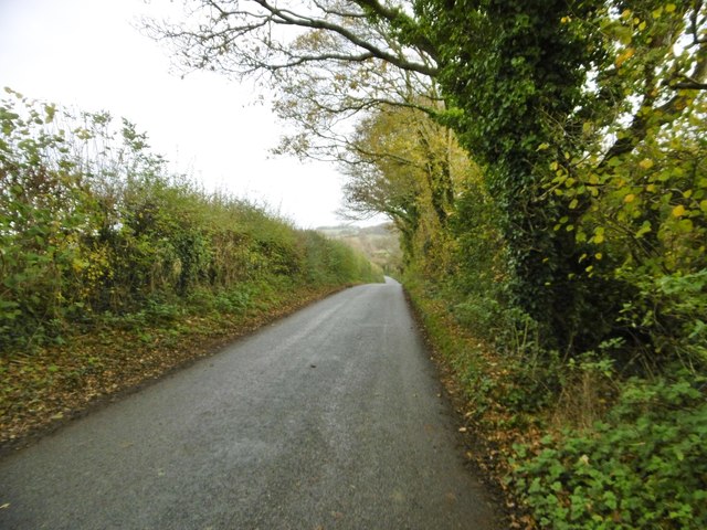
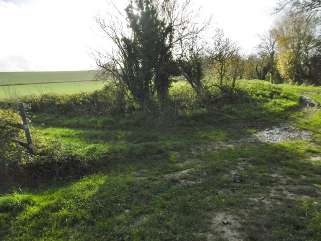
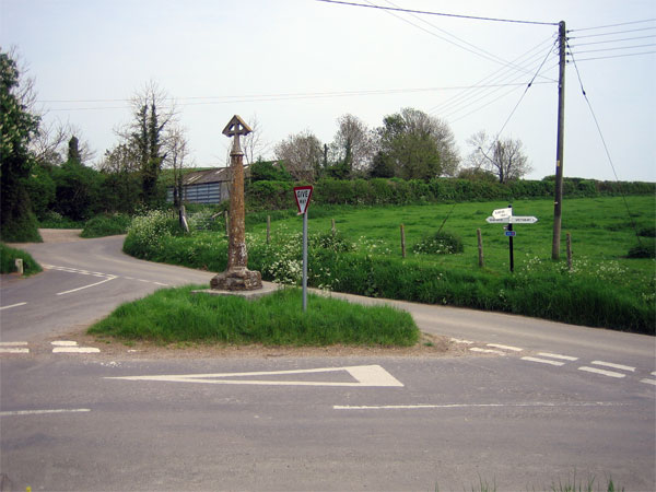
Home Plantation Images
Images are sourced within 2km of 50.823146/-2.1310422 or Grid Reference ST9002. Thanks to Geograph Open Source API. All images are credited.
Home Plantation is located at Grid Ref: ST9002 (Lat: 50.823146, Lng: -2.1310422)
Unitary Authority: Dorset
Police Authority: Dorset
What 3 Words
///glosses.shook.regard. Near Charlton Marshall, Dorset
Nearby Locations
Related Wikis
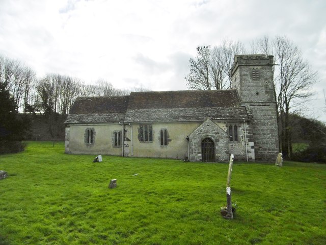
Spetisbury
Spetisbury () is a village and civil parish in north Dorset, England, situated on the River Stour and the A350, four miles (six kilometres) southeast of...

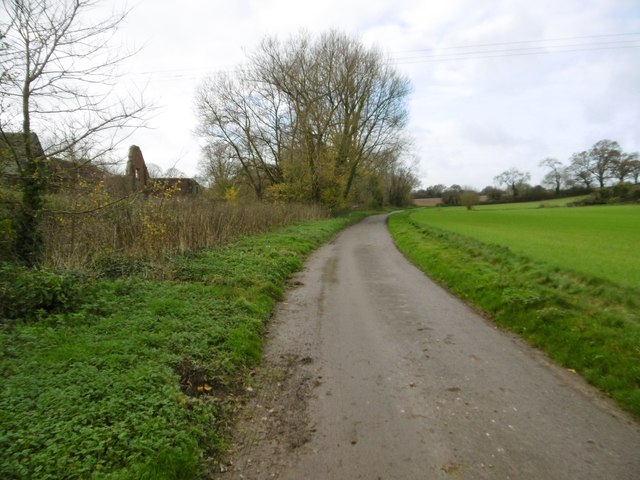
Spetisbury Priory
Spetisbury Priory, also Spettisbury Priory, was a medieval priory in Spetisbury or Spettisbury, Dorset, England. == History == The alien house of Benedictine...

Spetisbury railway station
Spetisbury railway station was a station in the English county of Dorset. It was located between Blandford Forum and Bailey Gate on the Somerset and Dorset...

River Tarrant
The River Tarrant is a 12 km long tributary of the River Stour in Dorset. The valley lies to the east of Blandford Forum. The river rises near Cranborne...

Tarrant Abbey
Tarrant Abbey was a Cistercian nunnery in Tarrant Crawford, Dorset, England. == History == The abbey was founded as an independent monastery in 1186 by...
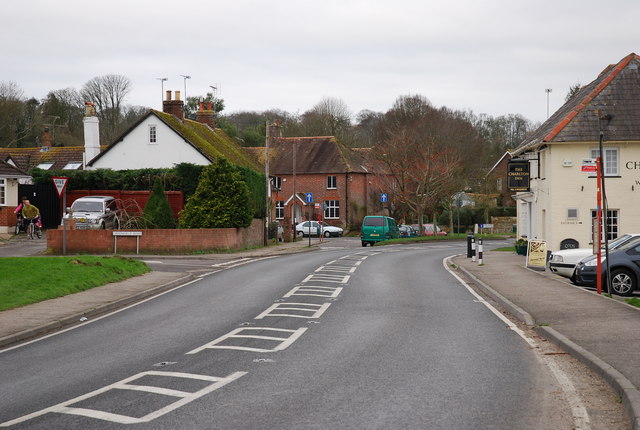
Charlton Marshall
Charlton Marshall is a village and civil parish in the English county of Dorset. It lies within the North Dorset administrative district, on the A350 road...
Tarrant Crawford
Tarrant Crawford is a small village and civil parish at the lower end of the Tarrant Valley in Dorset, England. The River Tarrant joins the larger River...

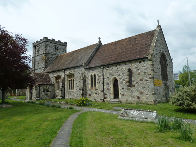
St Mary the Virgin, Tarrant Crawford
The Church of St Mary the Virgin in Tarrant Crawford, Dorset, England, was built in the 12th century. It is recorded in the National Heritage List for...
Nearby Amenities
Located within 500m of 50.823146,-2.1310422Have you been to Home Plantation?
Leave your review of Home Plantation below (or comments, questions and feedback).