West Covert Plantation

Wood, Forest in Northumberland

England

West Covert Plantation

The approach to Coldside Hill A blustery August afternoon on the approach to Coldside Hill near Manors.
The approach to Coldside Hill Credit: James T M Towill

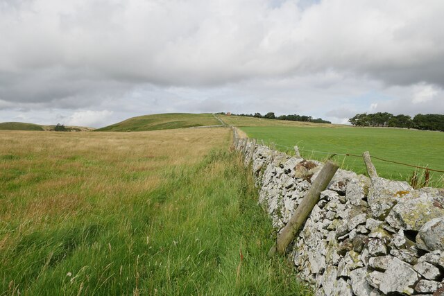
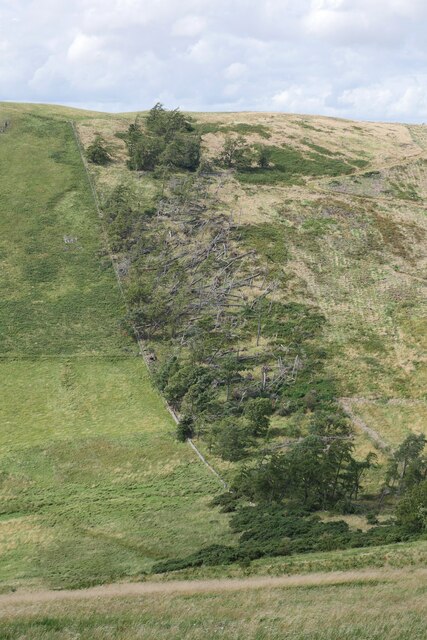
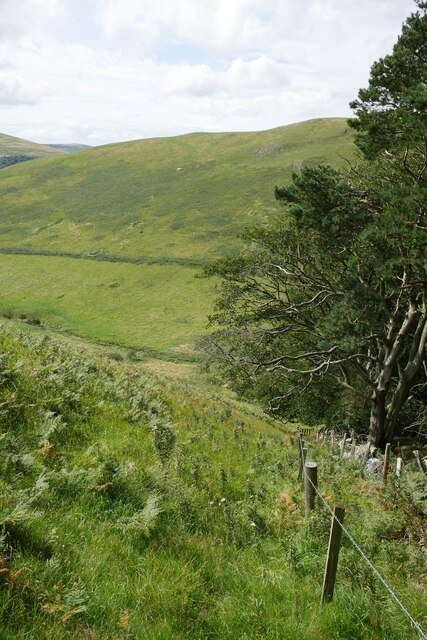
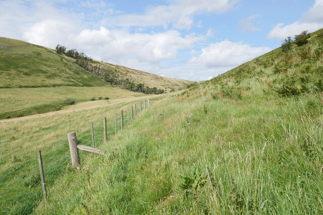
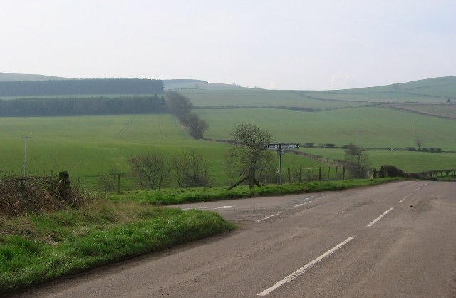
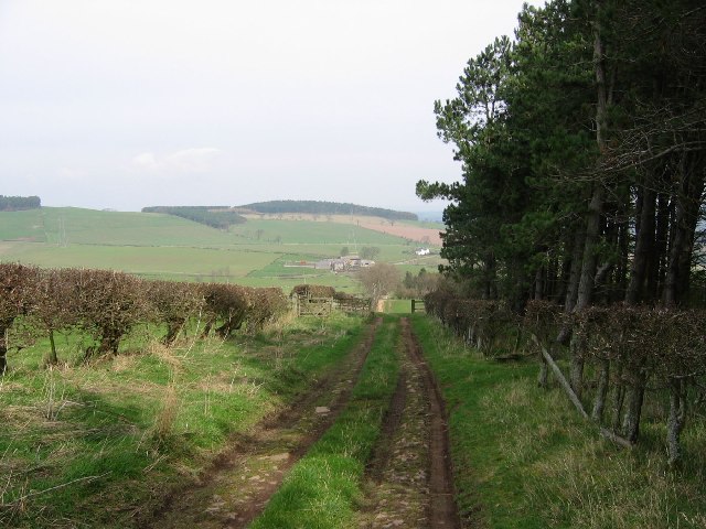
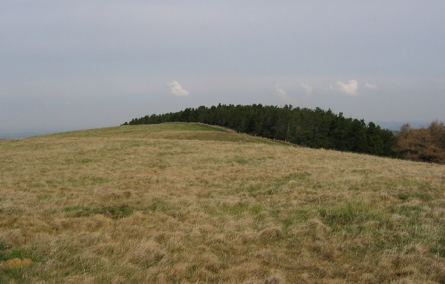
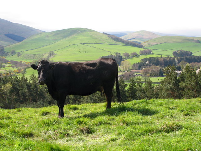
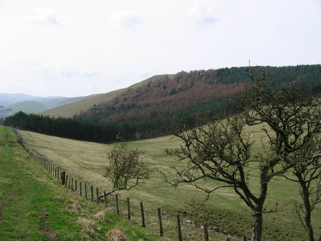
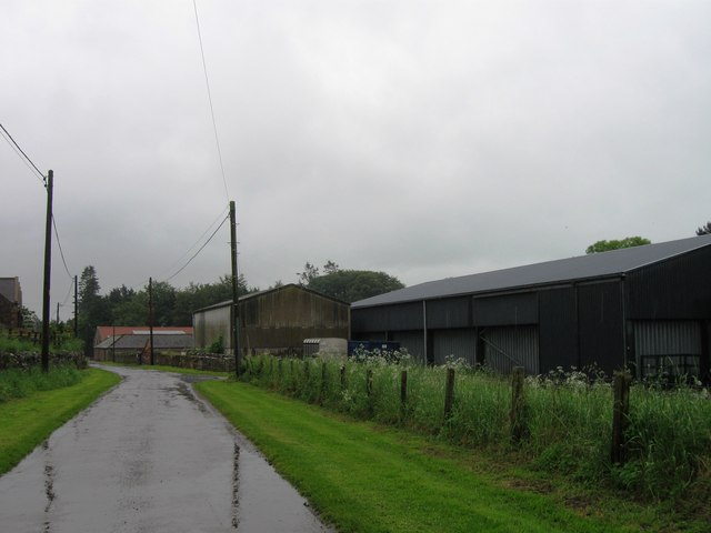
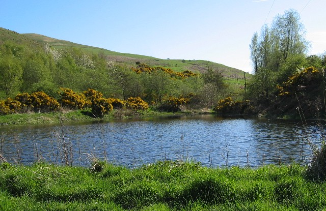
West Covert Plantation is a serene and picturesque woodland situated in the heart of Northumberland, England. Covering an expansive area, the plantation is known for its diverse range of trees and abundant wildlife, making it a popular destination for nature enthusiasts and outdoor adventurers.

The woodland is primarily composed of mature oak and beech trees, which create a stunning canopy overhead, providing shade and shelter for the various flora and fauna that call this place home. The forest floor is carpeted with a vibrant assortment of wildflowers, ferns, and mosses, adding to the enchanting atmosphere.

Traversing through West Covert Plantation, visitors can enjoy a network of well-maintained walking and cycling trails, allowing them to explore the beauty of the woodland at their own pace. The paths wind through dense thickets and open clearings, offering breathtaking vistas of the surrounding countryside.

The plantation is teeming with wildlife, including a diverse range of bird species, such as woodpeckers, nuthatches, and owls. Nature enthusiasts may also spot deer, foxes, and squirrels darting amongst the trees, adding an element of excitement to any visit.

West Covert Plantation is not only a haven for nature lovers but also serves as an important conservation area. Efforts have been made to preserve the natural habitat and protect the various species that thrive within its boundaries.

Whether one seeks a peaceful retreat or an opportunity to immerse oneself in the wonders of nature, West Covert Plantation, Northumberland, offers an idyllic setting that promises to leave a lasting impression on all who visit.

If you have any feedback on the listing, please let us know in the comments section below.

West Covert Plantation Images

Images are sourced within 2km of 55.588265/-2.1463771 or Grid Reference NT9032. Thanks to Geograph Open Source API. All images are credited.

The approach to Coldside Hill A blustery August afternoon on the approach to Coldside Hill near Manors.
The approach to Coldside Hill
A blustery August afternoon on the approach to Coldside Hill near Manors.
Storm Arwen damage on Housedon Hill The remains of a small strip of a former conifer plantation left after harvesting, presumably as a shelter belt; this was decimated by Storm Arwen (26/27 November 2021).
Storm Arwen damage on Housedon Hill
The remains of a small strip of a former conifer plantation left after harvesting, presumably as a shelter belt; this was decimated by Storm Arwen (26/27 November 2021).
Heading down Coldside Hill The steep western slopes of Coldside Hill adjacent to a conifer plantation, bound for the 'pass' between Coldside and Housedon Hill.
Heading down Coldside Hill
The steep western slopes of Coldside Hill adjacent to a conifer plantation, bound for the 'pass' between Coldside and Housedon Hill.
A path below Coldside Hill Looking back to the 'pass' between Coldside Hill (right) and Housedon Hill (left).
A path below Coldside Hill
Looking back to the 'pass' between Coldside Hill (right) and Housedon Hill (left).
Canno Mill A view down to the Glen valley at Canno Mill from near Crookhouse.
Canno Mill
A view down to the Glen valley at Canno Mill from near Crookhouse.
Crookhouse The Crookhouse steading with Housedon Hill providing the backdrop.
Crookhouse
The Crookhouse steading with Housedon Hill providing the backdrop.
West Flodden Crossroads This is an arable farming area with big fields of winter planted crops. Sheep are run on the surrounding higher ground.
West Flodden Crossroads
This is an arable farming area with big fields of winter planted crops. Sheep are run on the surrounding higher ground.
Farm track, Kypie Farm lane running beside one of the many small woodlands providing timber and shelter for game.
Farm track, Kypie
Farm lane running beside one of the many small woodlands providing timber and shelter for game.
Housedon Hill Taken from the track between West Flodden and Kirknewton as it crosses the Kypie Hill pass. The remains of an old hawthorn hedge can be seen, victim to climate and the easier to maintain wire fencing. As well as woodland this high ground is under sheep grazing.
Housedon Hill
Taken from the track between West Flodden and Kirknewton as it crosses the Kypie Hill pass. The remains of an old hawthorn hedge can be seen, victim to climate and the easier to maintain wire fencing. As well as woodland this high ground is under sheep grazing.
Housedon Hill The summit area of Housedon Hill (267m) shared between woodland and rough grazing. Housedon is the northernmost hill in England with at least 150m of reascent on all sides.
Housedon Hill
The summit area of Housedon Hill (267m) shared between woodland and rough grazing. Housedon is the northernmost hill in England with at least 150m of reascent on all sides.
SOTA Activation of Housedon Hill 7th November 2005 Operating from the summit of Housedon Hill - Grid ref NT 90219 32901
SOTA Activation of Housedon Hill 7th November 2005
Operating from the summit of Housedon Hill - Grid ref NT 90219 32901
Pasture field Viewed from the B6352 road with Tuperee Farm in the distance.
Pasture field
Viewed from the B6352 road with Tuperee Farm in the distance.
Track at Howtel Farm This is also a right of way path over to Branxton Moor.
Track at Howtel Farm
This is also a right of way path over to Branxton Moor.
Houses at Howtel By the B6352.
Houses at Howtel
By the B6352.
Lanton Hill The memorial on Lanton Hill is an obelisk in <a href="https://www.geograph.org.uk/gridref/NT9189">NT9189</a> and was erected in about 1827 in memory of John Davison, by his brother Alexander Davison of Swarland.
Lanton Hill
The memorial on Lanton Hill is an obelisk in NT9189 and was erected in about 1827 in memory of John Davison, by his brother Alexander Davison of Swarland.
River Glen
River Glen
View to Crookhouse Crookhouse is a small traditional Northumbrian steading that forms part of the privately owned Lanton estate.
View to Crookhouse
Crookhouse is a small traditional Northumbrian steading that forms part of the privately owned Lanton estate.
And...? A fine speciment! View towards Westnewton. The Cheviot hills are very old, having been formed about 400 million years ago from magma. They have been smoothed and rounded by the action of ice and the characteristic rolling hills can be seen here.
And...?
A fine speciment! View towards Westnewton. The Cheviot hills are very old, having been formed about 400 million years ago from magma. They have been smoothed and rounded by the action of ice and the characteristic rolling hills can be seen here.
Show me another place!

West Covert Plantation is located at Grid Ref: NT9032 (Lat: 55.588265, Lng: -2.1463771)

Unitary Authority: Northumberland

Police Authority: Northumbria

What 3 Words

///situates.straddled.hence. Near Kirknewton, Northumberland

Related Wikis

Housedon Hill

Housedon Hill is a hill on the northwestern edge of the Cheviot Hills in Northumberland, England. It is the northernmost Marilyn in England, the summit...

Bowmont Water

Bowmont Water is a stream in the Scottish Borders and Northumberland, England. It rises in the Cheviot Hills and flows by Mowhaugh, Town Yetholm, and Kirk...

Howtel

Howtel is a village and former civil parish, now in the parish of Kilham, in Northumberland, England about 8 miles (13 km) northwest of Wooler. The name...

Westnewton, Northumberland

Westnewton is a small hamlet comprising around 8 houses and a manse to the west of the village of Kirknewton, in the civil parish of Kirknewton, in the...

Kirknewton (Northumberland) railway station

Kirknewton railway station served the village of Kirknewton, Northumberland, England from 1887 to 1953 on the Cornhill Branch. == History == The station...

Kirknewton, Northumberland

Kirknewton is a Northumbrian village in the north of the county of Northumberland, about 6 miles (10 km) from the town of Wooler and roughly the same distance...

Lanton, Northumberland

Lanton is a hamlet and former civil parish, now in the parish of Ewart, in the north of the county of Northumberland, near the town of Wooler, the Cheviots...

Kilham, Northumberland

Kilham is a hamlet and civil parish in the English county of Northumberland, located 8.0 miles (12.9 km) west of Wooler, 12.0 miles (19.3 km) east of Kelso...

Nearby Amenities

Located within 500m of 55.588265,-2.1463771
Coldside Hill
Ele: 257
Natural: peak
Lat/Long: 55.586848/-2.1455278
The data included in this document is from www.openstreetmap.org. The data is made available under ODbL.

Have you been to West Covert Plantation?

Leave your review of West Covert Plantation below (or comments, questions and feedback).