Blaythorn Wood

Wood, Forest in Worcestershire Wychavon

England

Blaythorn Wood

View from the summit west of Ramsden
View from the summit west of Ramsden Credit: Peter Whatley

Blaythorn Wood, located in Worcestershire, England, is a picturesque woodland area renowned for its natural beauty and diverse wildlife. Stretching over an area of approximately 100 acres, the wood is part of a larger forest that covers much of the county.

Blaythorn Wood is characterized by its dense canopy of ancient oak and beech trees, which provide shelter and a habitat for a wide range of flora and fauna. The forest floor is covered with a thick layer of leaf litter, creating a rich and fertile environment for various plant species, including bluebells, wild garlic, and ferns.

The wood is crisscrossed with a network of well-maintained footpaths, allowing visitors to explore its enchanting surroundings. These paths lead to secluded clearings, babbling brooks, and tranquil ponds, providing opportunities for peaceful walks and nature observation. The wood is particularly popular in the spring when the bluebells are in full bloom, creating a breathtaking carpet of blue throughout the forest.

Wildlife thrives in Blaythorn Wood, with sightings of deer, foxes, badgers, and a variety of bird species being common. The forest is also home to several rare and protected species, including the lesser spotted woodpecker and the silver-washed fritillary butterfly.

Blaythorn Wood is a cherished natural treasure in Worcestershire, offering visitors a chance to escape the hustle and bustle of everyday life and immerse themselves in the tranquility of nature. With its stunning scenery and abundant wildlife, it is a haven for nature lovers and a place of wonder and beauty.

If you have any feedback on the listing, please let us know in the comments section below.

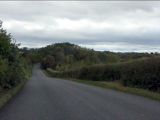
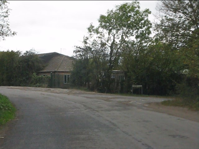
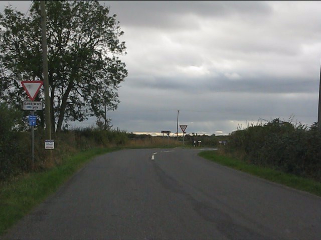
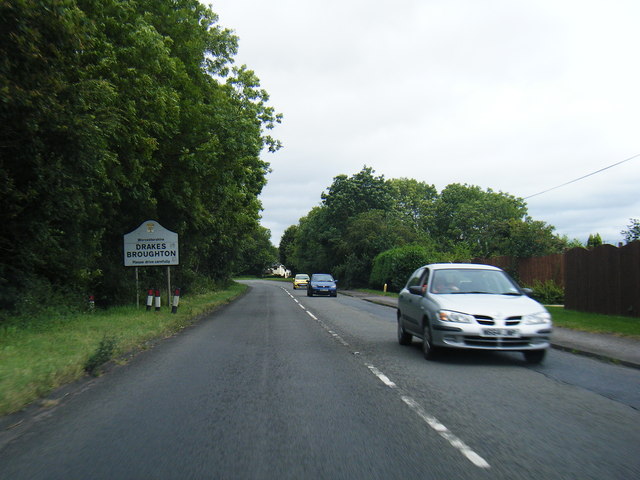
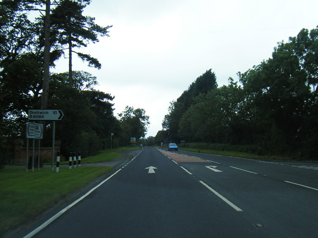
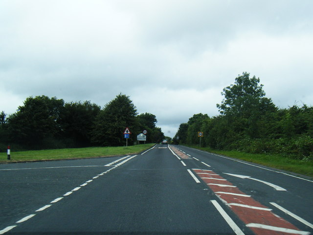
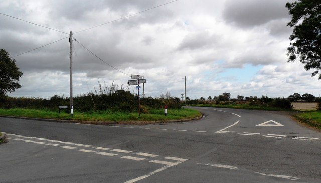
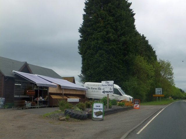
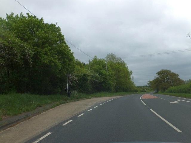
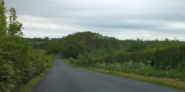
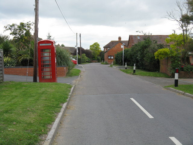
Blaythorn Wood Images

Images are sourced within 2km of 52.128943/-2.1346997 or Grid Reference SO9047. Thanks to Geograph Open Source API. All images are credited.

View from the summit west of Ramsden
Crabbe Lane junction
Approaching the crossroads
B4084 at Drakes Broughton boundary
B4084 south of Windmill Hill
B4084 approaching Stoulton village boundary
Crossroads near Wadborough
Farm shop on B4084 at Windmill Hill
Bus stop on B4084 at Windmill Hill The road is marked for the turning to the village of Windmill Hill, a short distance north of the main road to Pershore.  This stop serves the village.
Bus stop on B4084 at Windmill Hill
The road is marked for the turning to the village of Windmill Hill, a short distance north of the main road to Pershore. This stop serves the village.
Garage on B4084 at Drake's Broughton
Woodland west of Ramsden This minor road is named Rebecca Road
Woodland west of Ramsden
This minor road is named Rebecca Road
Woodland at the junction of Rebecca Road and Crabbe Lane One of the local buildings is The Crabbe - hence the name of the lane on the right.  The footpath on the left is part of the Millennium Way
Woodland at the junction of Rebecca Road and Crabbe Lane
One of the local buildings is The Crabbe - hence the name of the lane on the right. The footpath on the left is part of the Millennium Way
Half a signpost for a footpath off Rebecca Road The footpath crosses a field on the left.  An aerial view shows little sign of it being used, and an older map shows that the field was once wooded, so the path was a route through the woodland.
Half a signpost for a footpath off Rebecca Road
The footpath crosses a field on the left. An aerial view shows little sign of it being used, and an older map shows that the field was once wooded, so the path was a route through the woodland.
Rebecca Road and Croome Perry Wood
Oak by Chevington Lane After five years have elapsed after the previous photograph for this square, I come along and take almost exactly the same shot as Phil Halling - <a href="https://www.geograph.org.uk/photo/924781">SO9147 : Chevington Lane</a>.
Oak by Chevington Lane
After five years have elapsed after the previous photograph for this square, I come along and take almost exactly the same shot as Phil Halling - SO9147 : Chevington Lane.
Old stubble field View north from Chevington Lane; the cottages are at the entrance to Caddicroft Farm which itself is hidden in the trees in the distance.
Old stubble field
View north from Chevington Lane; the cottages are at the entrance to Caddicroft Farm which itself is hidden in the trees in the distance.
Field-edge footpath East towards Pershore from Chevington Lane.
Field-edge footpath
East towards Pershore from Chevington Lane.
Footpath west From Chevington Lane towards Deerfold Wood.
Nice wide headland, thank you farmer!
Footpath west
From Chevington Lane towards Deerfold Wood. Nice wide headland, thank you farmer!
Show me another place!

Blaythorn Wood is located at Grid Ref: SO9047 (Lat: 52.128943, Lng: -2.1346997)

Administrative County: Worcestershire

District: Wychavon

Police Authority: West Mercia

What 3 Words

///increment.renewals.beans. Near Pershore, Worcestershire

Nearby Locations

Blaythorn Wood Wadborough

Related Wikis

Wadborough

Wadborough is a small village 2 miles outside Pershore and 7 miles from Worcester. The village is in Worcestershire, England. The village is an old farming...

Hawbridge

Hawbridge is a village in Worcestershire, England. == References ==

Kempsey railway station (Worcestershire)

Kempsey railway station, also known as Pirton railway station, served the village of Kempsey, Worcestershire, England, from 1841 to 1844 on the Birmingham...

Pirton railway station

Pirton railway station, also known as Kempsey railway station, served the village of Pirton, Worcestershire, England, from 1841 to 1844 on the Birmingham...

Wadborough railway station

Wadborough railway station was located in Wadborough, Worcestershire. It opened in 1841 and closed in January 1965. It was situated to the west on the...

Drakes Broughton

Drakes Broughton is a village in Worcestershire, England. The village is located on the B4084 road (previously the A44) 2 miles north-west of Pershore...

Stoulton

Stoulton or Stoughton is a village and civil parish about 5 miles south west of Worcester, in the Wychavon district, in the county of Worcestershire, England...

Ramsden, Worcestershire

Ramsden is a hamlet in the English county of Worcestershire. Ramsden is located due west of the town of Pershore. It lies on the Regional Cycle Route 46...

Nearby Amenities

Located within 500m of 52.128943,-2.1346997
Wadborough Cross Roads
Naptan AtcoCode: 2000G323162
Naptan Bearing: NE
Naptan BusStopType: CUS
Naptan CommonName: Wadborough Cross Roads
Naptan Indicator: opp
Naptan Landmark: The Nurseries
Naptan NaptanCode: wocdawtj
Naptan Street: Wadborough Road
Naptan Verified: no
Source: naptan_import
Lat/Long: 52.1268078/-2.139008
Bus Stop
Wadborough Cross Roads
Bus: yes
Naptan AtcoCode: 2000G500726
Naptan Bearing: W
Naptan CommonName: Wadborough Cross Roads
Naptan Indicator: adj
Naptan Landmark: The Nurseries
Naptan NaptanCode: wocgjgwt
Naptan Street: Wadborough Road
Naptan Verified: no
Public Transport: platform
Source: naptan_import
Lat/Long: 52.1266007/-2.1392849
Post Box
Collection Times: Mo-Fr 17:00; Sa 07:00
Post Box Type: lamp
Ref: WR8 188
Royal Cypher: EIIR
Royal Cypher Wikidata: Q33102113
Source: GPS Survey
Lat/Long: 52.127036/-2.1390012
Barrier: stile
Foot: yes
Lat/Long: 52.1323348/-2.1365559
Barrier: stile
Foot: yes
Lat/Long: 52.1296535/-2.1354824
Besford Farm
Power: pole
Transformer: distribution
Voltage Primary: 11000
Lat/Long: 52.126176/-2.1399234
Power: pole
Lat/Long: 52.1296885/-2.1275515
Power: pole
Lat/Long: 52.1302504/-2.1279203
Power: pole
Lat/Long: 52.1306216/-2.1281317
Power: pole
Lat/Long: 52.130822/-2.1286185
Power: pole
Lat/Long: 52.1313938/-2.1299985
Power: pole
Lat/Long: 52.1319713/-2.1305712
Power: pole
Lat/Long: 52.1312497/-2.1311579
Blaythorn Farm
Power: pole
Transformer: distribution
Voltage Primary: 11000
Lat/Long: 52.1311229/-2.1322938
Power: pole
Lat/Long: 52.1305121/-2.1336074
Power: pole
Lat/Long: 52.1299226/-2.1349438
Power: pole
Lat/Long: 52.1294974/-2.1360549
Power: pole
Lat/Long: 52.1287256/-2.1370138
Blaythorn Wood
Power: pole
Transformer: distribution
Voltage Primary: 11000
Lat/Long: 52.1281731/-2.1367195
Power: pole
Lat/Long: 52.129096/-2.1371493
Power: pole
Lat/Long: 52.1286935/-2.1382396
Power: pole
Lat/Long: 52.1283164/-2.13981
Material: wood
Power: pole
Lat/Long: 52.1279755/-2.1412168
The data included in this document is from www.openstreetmap.org. The data is made available under ODbL.

Have you been to Blaythorn Wood?

Leave your review of Blaythorn Wood below (or comments, questions and feedback).