West End
Settlement in Gloucestershire Cotswold
England
West End
West End is a small village located in the county of Gloucestershire, England. Situated in the picturesque Cotswolds region, it lies approximately 5 miles southwest of the town of Stroud. With a population of around 500 residents, West End offers a peaceful and close-knit community atmosphere.
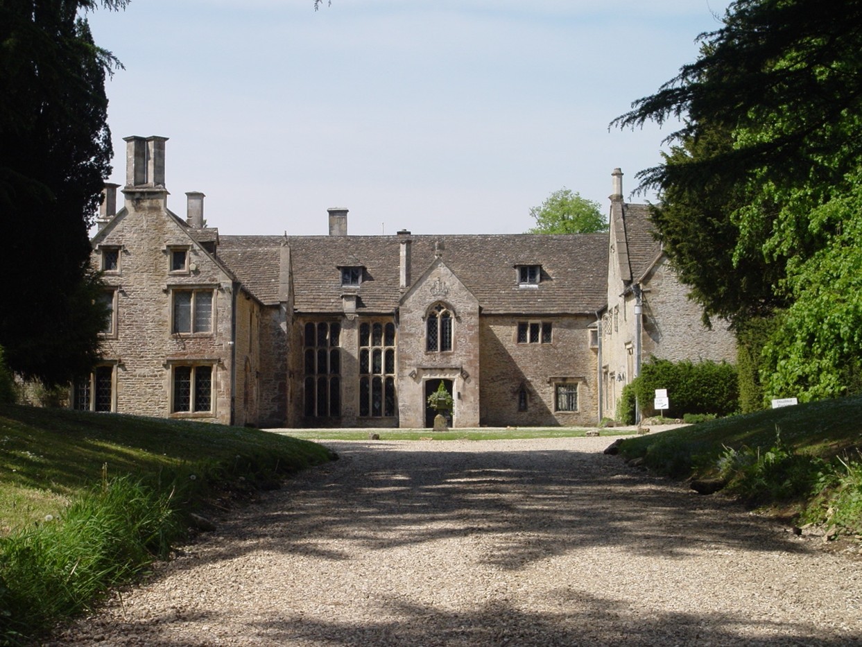
The village is characterized by its charming stone-built cottages and traditional English architecture, which adds to its overall appeal. Surrounded by rolling hills and lush green countryside, West End boasts breathtaking views and is a haven for nature lovers and outdoor enthusiasts.
Despite its small size, West End is well-served by local amenities. The village has a primary school, a village hall, and a church, all of which play an important role in fostering a strong sense of community. Nearby, residents can also find a range of shops, restaurants, and pubs in the neighboring towns and villages.
West End benefits from its convenient location, being within easy reach of major transport links. The nearby A46 road provides access to larger towns and cities, such as Gloucester and Cheltenham, while the M5 motorway is just a short drive away. This makes West End an attractive place to live for those seeking a quieter rural lifestyle without sacrificing connectivity to urban centers.
Overall, West End, Gloucestershire offers a tranquil and picturesque village setting with a strong community spirit, making it an ideal place to call home for those seeking a peaceful countryside retreat.
If you have any feedback on the listing, please let us know in the comments section below.
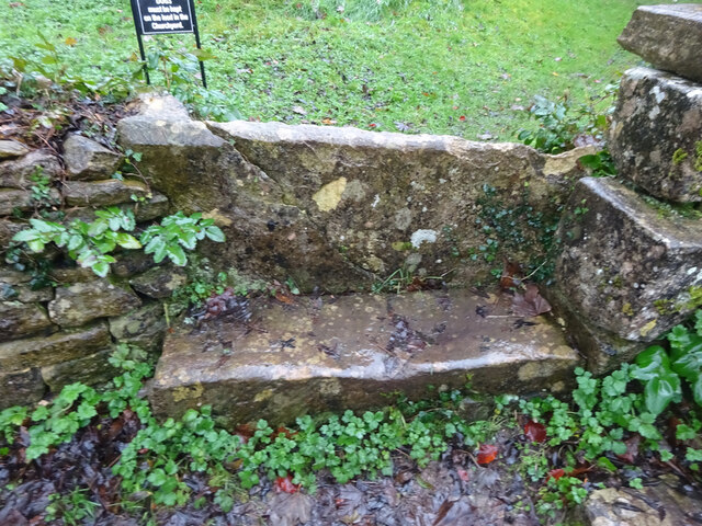
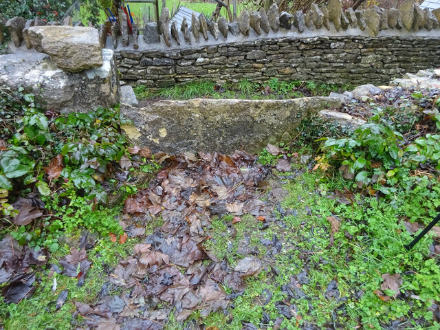
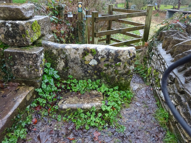
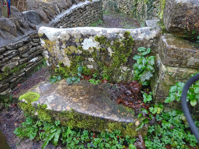
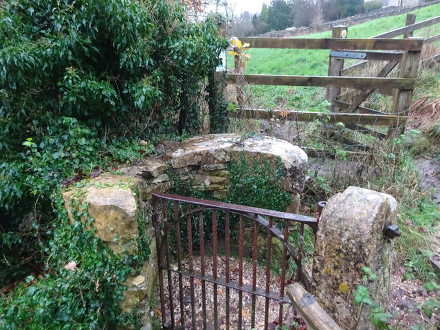
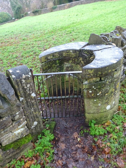
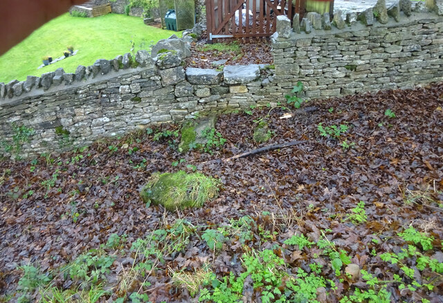
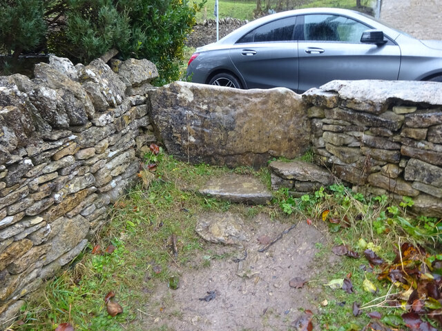
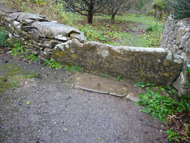
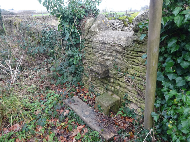
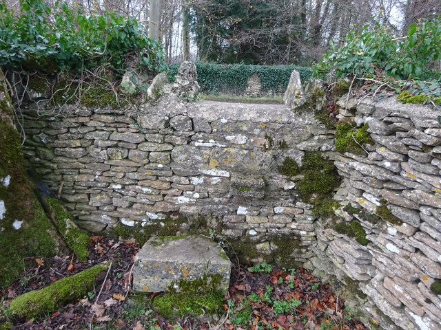
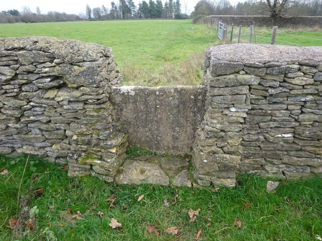
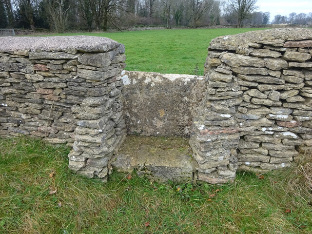
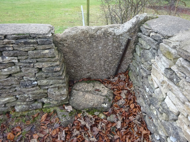
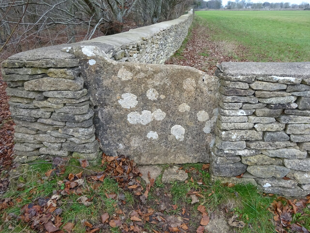
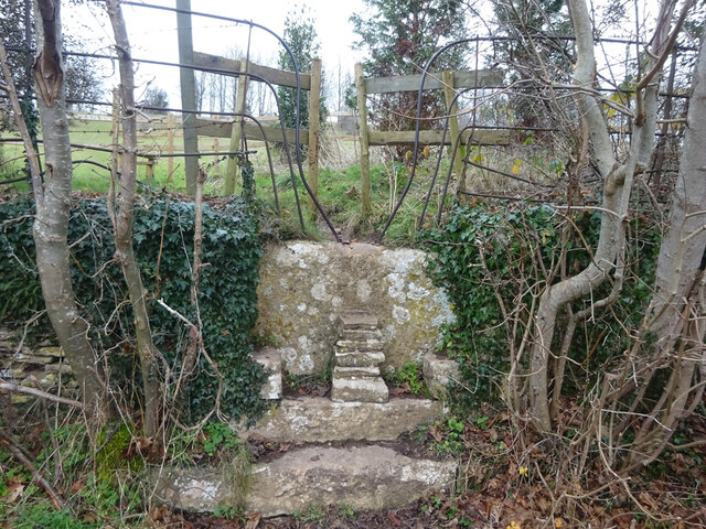
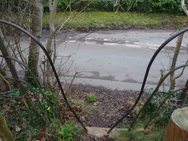
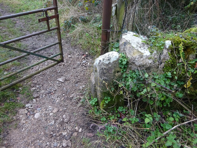
West End Images
Images are sourced within 2km of 51.67779/-2.181476 or Grid Reference ST8797. Thanks to Geograph Open Source API. All images are credited.
West End is located at Grid Ref: ST8797 (Lat: 51.67779, Lng: -2.181476)
Administrative County: Gloucestershire
District: Cotswold
Police Authority: Gloucestershire
What 3 Words
///learn.risks.shredder. Near Avening, Gloucestershire
Nearby Locations
Related Wikis

Church of the Holy Cross, Avening
The Anglican Church of the Holy Cross at Avening in the Cotswold District of Gloucestershire, England was built in late 11th century. It is a grade I listed...

Avening Valley
The Avening Valley is located in the South Cotswolds in England, running roughly east from Nailsworth and through the village of Avening.During the 17th...
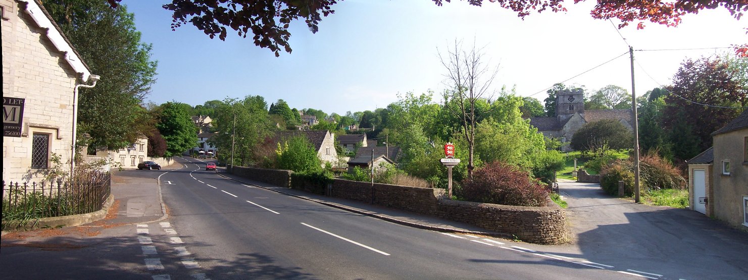
Avening
Avening () is a village and civil parish in the Cotswold district of Gloucestershire, England, about three miles (5 km) north of Tetbury. According to...

Gatcombe Park
Gatcombe Park is the country residence of Anne, Princess Royal, between the villages of Minchinhampton (to which it belongs) and Avening in Gloucestershire...

Ball's Green
Ball's Green is a hamlet in Gloucestershire, England. == External links == StreetMap.co.uk

Box Farm Meadows SSSI
Box Farm Meadows (Stuart Fawkes reserve) (grid reference ST865997) is a 8.3-hectare (21-acre) biological Site of Special Scientific Interest in Gloucestershire...
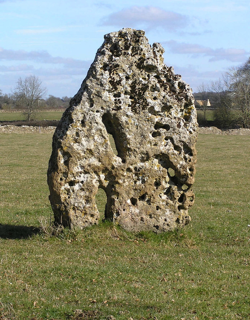
Longstone of Minchinhampton
The Longstone of Minchinhampton (grid reference ST884998) is a standing stone on Minchinhampton Common, Minchinhampton in Gloucestershire, England. The...
Chavenage House
Chavenage House, Beverston, Gloucestershire is a country house dating from the late 16th century. The house was built in 1576 and is constructed of Cotswold...
Nearby Amenities
Located within 500m of 51.67779,-2.181476Have you been to West End?
Leave your review of West End below (or comments, questions and feedback).