Larch Grove

Wood, Forest in Gloucestershire Cotswold

England

Larch Grove

Avening, churchyard wall Access to the footpath leading away from the village. This is the view looking in to the churchyard. The view looking in is <a href="https://www.geograph.org.uk/photo/7038277">ST8798 : Avening, churchyard wall</a>. It is adjacent to a stile along the footpath (see <a title="https://www.geograph.org.uk/photo/7038287" href="https://www.geograph.org.uk/photo/7038287">Link</a> & <a title="https://www.geograph.org.uk/photo/7038288" href="https://www.geograph.org.uk/photo/7038288">Link</a> )
Avening, churchyard wall Credit: Mr Red

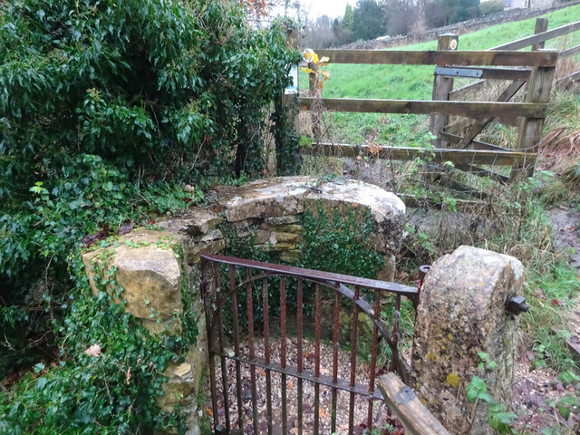
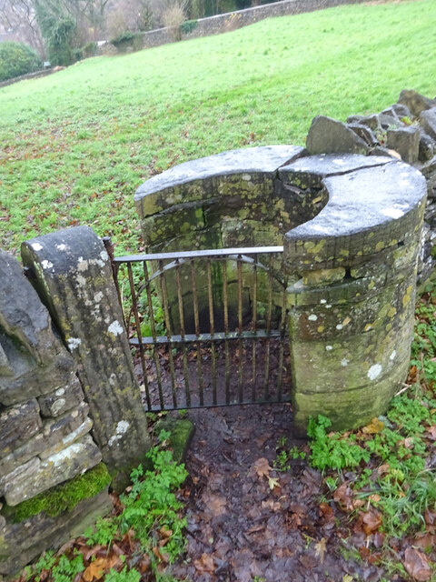
Larch Grove is a scenic woodland area located in Gloucestershire, England. Situated in the heart of the county, Larch Grove is known for its lush greenery and towering larch trees, which dominate the landscape. The grove covers an expansive area, providing a haven for nature enthusiasts and outdoor lovers.

The woodland boasts a rich diversity of flora and fauna, making it an ideal spot for wildlife spotting and birdwatching. Visitors can expect to encounter various species of birds, including woodpeckers and owls, as well as sightings of deer, foxes, and other woodland creatures.

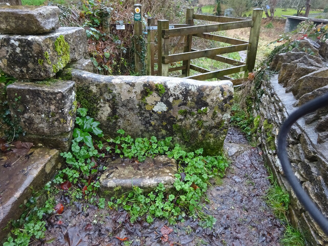
Larch Grove offers a peaceful retreat away from the hustle and bustle of city life. It is a popular destination for hikers, joggers, and cyclists, who can explore its network of well-maintained trails and paths. The serenity of the grove makes it an excellent location for meditation and mindfulness exercises.

The woodlands are also home to a variety of wildflowers, which carpet the forest floor during the spring and summer months, creating a vibrant and colorful setting. The picturesque beauty of Larch Grove makes it a popular spot for photographers and artists seeking inspiration.

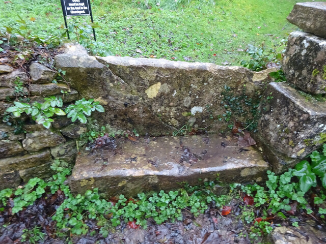
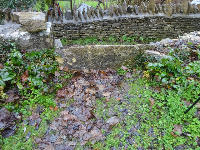
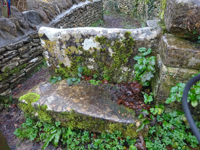
Additionally, Larch Grove is equipped with picnic areas and benches, allowing visitors to relax and enjoy the tranquil surroundings. The grove is easily accessible by car, with ample parking available nearby.

Overall, Larch Grove in Gloucestershire offers a delightful escape into nature, providing a serene and picturesque environment for people of all ages to enjoy.

If you have any feedback on the listing, please let us know in the comments section below.
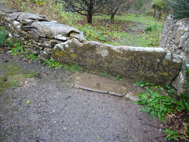
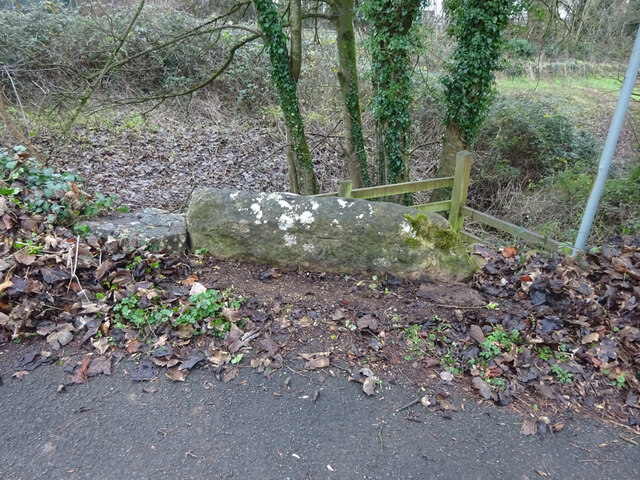
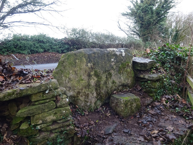
Larch Grove Images

Images are sourced within 2km of 51.672648/-2.1869457 or Grid Reference ST8797. Thanks to Geograph Open Source API. All images are credited.

Avening, churchyard wall Access to the footpath leading away from the village. This is the view looking in to the churchyard. The view looking in is <a href="https://www.geograph.org.uk/photo/7038277">ST8798 : Avening, churchyard wall</a>. It is adjacent to a stile along the footpath (see <a title="https://www.geograph.org.uk/photo/7038287" href="https://www.geograph.org.uk/photo/7038287">Link</a> & <a title="https://www.geograph.org.uk/photo/7038288" href="https://www.geograph.org.uk/photo/7038288">Link</a> )
Avening, churchyard wall
Access to the footpath leading away from the village. This is the view looking in to the churchyard. The view looking in is ST8798 : Avening, churchyard wall. It is adjacent to a stile along the footpath (see Link & Link )
Avening, churchyard wall Access to the footpath leading away from the village. This is the view from the churchyard. The view looking out is <a href="https://www.geograph.org.uk/photo/7038275">ST8798 : Avening, churchyard wall</a>. It is adjacent to a stile along the footpath (see <a title="https://www.geograph.org.uk/photo/7038287" href="https://www.geograph.org.uk/photo/7038287">Link</a> & <a title="https://www.geograph.org.uk/photo/7038288" href="https://www.geograph.org.uk/photo/7038288">Link</a> )
Avening, churchyard wall
Access to the footpath leading away from the village. This is the view from the churchyard. The view looking out is ST8798 : Avening, churchyard wall. It is adjacent to a stile along the footpath (see Link & Link )
Avening churchyard wall Footpath along the wall, this is looking away from the village. The view looking toward is <a href="https://www.geograph.org.uk/photo/7038288">ST8798 : Avening churchyard wall</a>. There is a stile into the churchyard is on the left (see <a title="https://www.geograph.org.uk/photo/7038277" href="https://www.geograph.org.uk/photo/7038277">Link</a> & <a title="https://www.geograph.org.uk/photo/7038275" href="https://www.geograph.org.uk/photo/7038275">Link</a> )
Avening churchyard wall
Footpath along the wall, this is looking away from the village. The view looking toward is ST8798 : Avening churchyard wall. There is a stile into the churchyard is on the left (see Link & Link )
Avening churchyard wall Footpath along the wall, this is looking towards the village. The view looking back is <a href="https://www.geograph.org.uk/photo/7038287">ST8798 : Avening churchyard wall</a>. There is a stile into the churchyard is on the right (see <a title="https://www.geograph.org.uk/photo/7038277" href="https://www.geograph.org.uk/photo/7038277">Link</a> & <a title="https://www.geograph.org.uk/photo/7038275" href="https://www.geograph.org.uk/photo/7038275">Link</a> )
Avening churchyard wall
Footpath along the wall, this is looking towards the village. The view looking back is ST8798 : Avening churchyard wall. There is a stile into the churchyard is on the right (see Link & Link )
Stone Kissing Gate, Avening Between fields South & above church, looking East, the view West is <a href="https://www.geograph.org.uk/photo/7406997">ST8797 : Stone Kissing Gate, Avening</a>. 
A similar gate nearby is <a href="https://www.geograph.org.uk/photo/7038307">ST8797 : Stone Kissing Gate, Avening</a>
Stone Kissing Gate, Avening
Between fields South & above church, looking East, the view West is ST8797 : Stone Kissing Gate, Avening. A similar gate nearby is ST8797 : Stone Kissing Gate, Avening
Stone Kissing Gate, Avening Gate between fields above the church, looking East, the view West is <a href="https://www.geograph.org.uk/photo/7406993">ST8797 : Stone Kissing Gate, Avening</a>,
near another gate <a href="https://www.geograph.org.uk/photo/7038302">ST8797 : Stone Kissing Gate, Avening</a>.
Stone Kissing Gate, Avening
Gate between fields above the church, looking East, the view West is ST8797 : Stone Kissing Gate, Avening, near another gate ST8797 : Stone Kissing Gate, Avening.
Stone Stile, Avening From a private property in to a field SE of the parish church.
Stone Stile, Avening
From a private property in to a field SE of the parish church.
Stone Stile, Point Road In the village of Avening. This is the view from the field, the view looking back is <a href="https://www.geograph.org.uk/photo/7038315">ST8797 : Stone Stile, Point Road</a>.
Stone Stile, Point Road
In the village of Avening. This is the view from the field, the view looking back is ST8797 : Stone Stile, Point Road.
Stone Stile, Point Road In the village of Avening. This is the view from the road, the view looking to the field is <a href="https://www.geograph.org.uk/photo/7038314">ST8797 : Stone Stile, Point Road</a>.
Stone Stile, Point Road
In the village of Avening. This is the view from the road, the view looking to the field is ST8797 : Stone Stile, Point Road.
Stone Stile, Nag's Head Exiting onto Roundabout Lane looking NE back onto fields. The view back is <a href="https://www.geograph.org.uk/photo/7046251">ST8997 : Stone Stile, Nag's Head</a>.
Stone Stile, Nag's Head
Exiting onto Roundabout Lane looking NE back onto fields. The view back is ST8997 : Stone Stile, Nag's Head.
Stone Stile, Nag's Head Exiting onto Roundabout Lane looking SW to lane. The view looking into field is <a href="https://www.geograph.org.uk/photo/7046247">ST8997 : Stone Stile, Nag's Head</a>.
Stone Stile, Nag's Head
Exiting onto Roundabout Lane looking SW to lane. The view looking into field is ST8997 : Stone Stile, Nag's Head.
Stone Stile, Nag's Head On a footpath from Roundabout Lane (bridleway) to Star Lane (tarmac). This is the Eastern view, the Western view is <a href="https://www.geograph.org.uk/photo/7046633">ST8897 : Stone Stile, Nag's Head</a>.
Stone Stile, Nag's Head
On a footpath from Roundabout Lane (bridleway) to Star Lane (tarmac). This is the Eastern view, the Western view is ST8897 : Stone Stile, Nag's Head.
Stone Stile, Nag's Head On a footpath from Roundabout Lane (bridleway) to Star Lane (tarmac). This is the Western view, the Eastern view is <a href="https://www.geograph.org.uk/photo/7046632">ST8897 : Stone Stile, Nag's Head</a>.
Stone Stile, Nag's Head
On a footpath from Roundabout Lane (bridleway) to Star Lane (tarmac). This is the Western view, the Eastern view is ST8897 : Stone Stile, Nag's Head.
Stone Stile, Avening Off Tetbury Road, on the footpath from Farm Hill/Point Road. This view is looking NW, the view South is <a href="https://www.geograph.org.uk/photo/7048754">ST8897 : Stone Stile, Avening</a>. There is a benchmark on this face representing 154.0 m ASL.
Stone Stile, Avening
Off Tetbury Road, on the footpath from Farm Hill/Point Road. This view is looking NW, the view South is ST8897 : Stone Stile, Avening. There is a benchmark on this face representing 154.0 m ASL.
Stone Stile, Avening Off Tetbury Road, on the footpath from Farm Hill/Point Road. This view is looking South, the view NW is <a href="https://www.geograph.org.uk/photo/7048751">ST8897 : Stone Stile, Avening</a>. There is a Benchmark on this face representing 154.0 m ASL.
Stone Stile, Avening
Off Tetbury Road, on the footpath from Farm Hill/Point Road. This view is looking South, the view NW is ST8897 : Stone Stile, Avening. There is a Benchmark on this face representing 154.0 m ASL.
Stone Stile, Avening Off Star Lane on a footpath running down to Mays Lane. Looking NE, the other view SW is <a href="https://www.geograph.org.uk/photo/7048770">ST8897 : Stone Stile, Avening</a>.
Stone Stile, Avening
Off Star Lane on a footpath running down to Mays Lane. Looking NE, the other view SW is ST8897 : Stone Stile, Avening.
Stone Stile, Avening Off Star Lane on a footpath running down to Mays Lane. Looking SW, the other view NE is <a href="https://www.geograph.org.uk/photo/7048769">ST8897 : Stone Stile, Avening</a>.
Stone Stile, Avening
Off Star Lane on a footpath running down to Mays Lane. Looking SW, the other view NE is ST8897 : Stone Stile, Avening.
Stone Stile, Avening What is clearly the slab of a stone stile, found while traversing a path marked on the map (NAV23 in GCC's numbering). This is clearly fenced off at this point and there should be another stile at the road end (southwards) for which there is no physical evidence. This NW view is to show the edge, the view looking North shows more of the lip, see <a href="https://www.geograph.org.uk/photo/7048785">ST8897 : Stone Stile, Avening</a>.
Stone Stile, Avening
What is clearly the slab of a stone stile, found while traversing a path marked on the map (NAV23 in GCC's numbering). This is clearly fenced off at this point and there should be another stile at the road end (southwards) for which there is no physical evidence. This NW view is to show the edge, the view looking North shows more of the lip, see ST8897 : Stone Stile, Avening.
Show me another place!

Larch Grove is located at Grid Ref: ST8797 (Lat: 51.672648, Lng: -2.1869457)

Administrative County: Gloucestershire

District: Cotswold

Police Authority: Gloucestershire

What 3 Words

///shook.dragons.warm. Near Avening, Gloucestershire

Related Wikis

Church of the Holy Cross, Avening

The Anglican Church of the Holy Cross at Avening in the Cotswold District of Gloucestershire, England was built in late 11th century. It is a grade I listed...

Avening Valley

The Avening Valley is located in the South Cotswolds in England, running roughly east from Nailsworth and through the village of Avening.During the 17th...
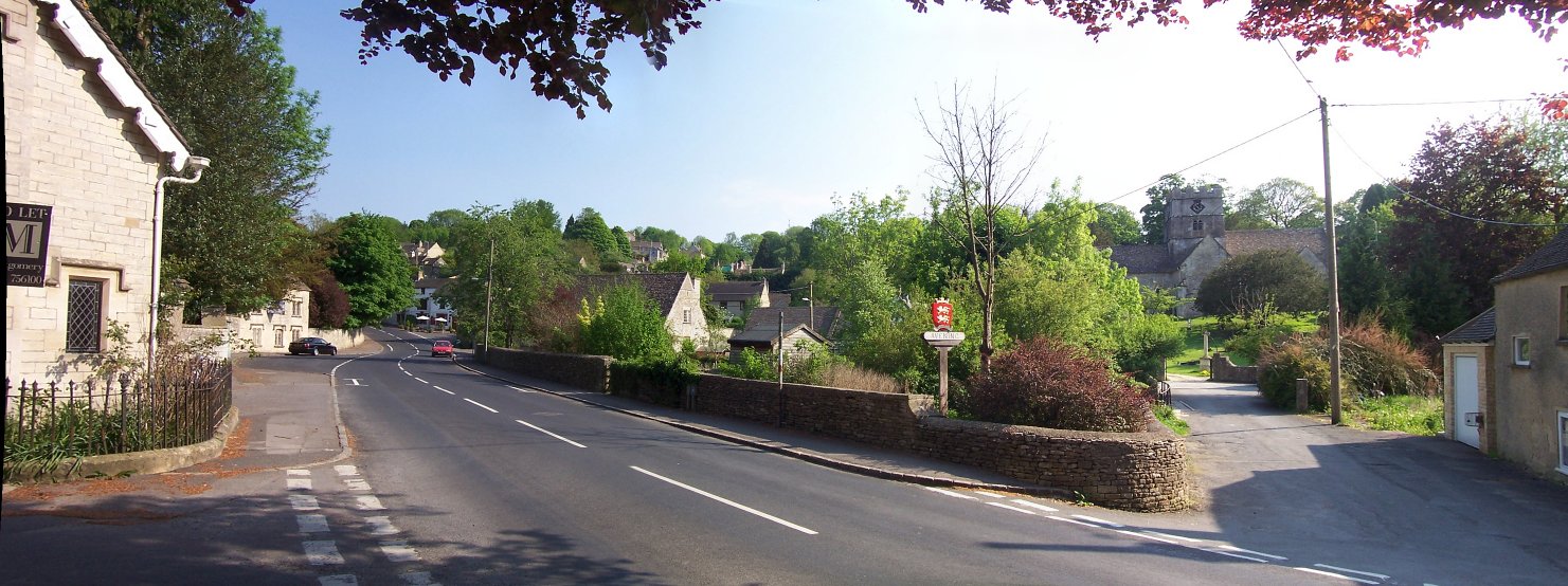
Avening

Avening () is a village and civil parish in the Cotswold district of Gloucestershire, England, about three miles (5 km) north of Tetbury. According to...
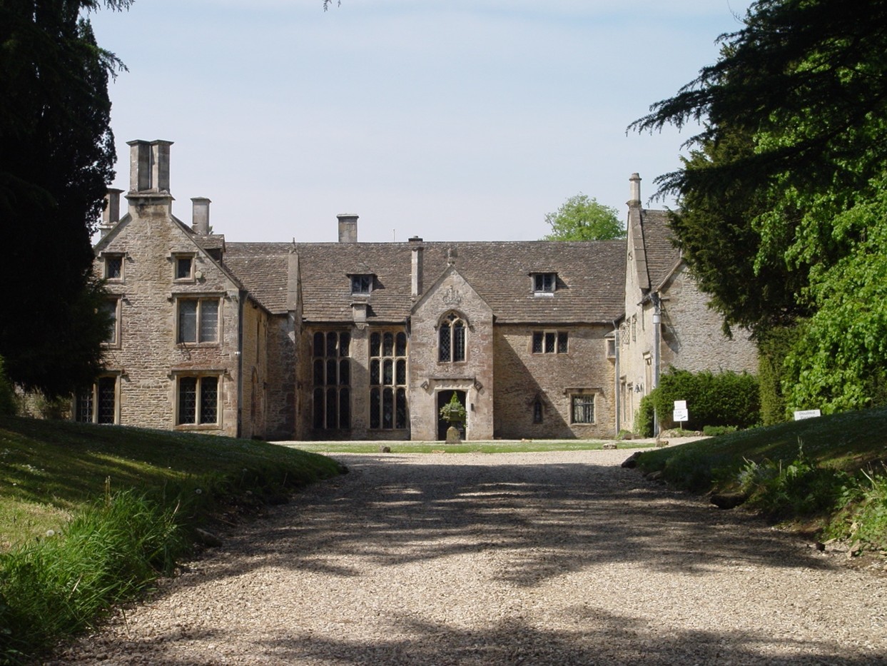
Chavenage House

Chavenage House, Beverston, Gloucestershire is a country house dating from the late 16th century. The house was built in 1576 and is constructed of Cotswold...

Tetbury Upton

Tetbury Upton is a small village and civil parish in the Cotswolds area of Gloucestershire, England. The parish extends in an arc around the north, west...

Gatcombe Park

Gatcombe Park is the country residence of Anne, Princess Royal, between the villages of Minchinhampton (to which it belongs) and Avening in Gloucestershire...

Barton End

Barton End is a village just south of Nailsworth, Gloucestershire, England.

Ball's Green

Ball's Green is a hamlet in Gloucestershire, England. == External links == StreetMap.co.uk

Nearby Amenities

Located within 500m of 51.672648,-2.1869457
Barrier: stile
Foot: yes
Lat/Long: 51.6748458/-2.1885621
Barrier: stile
Bicycle: no
Foot: yes
Material: wood
Stile: ladder
Lat/Long: 51.6755573/-2.1879674
Barrier: stile
Lat/Long: 51.6722712/-2.1922407
Ford: yes
Lat/Long: 51.6751437/-2.1881754
Barrier: stile
Lat/Long: 51.6735567/-2.1891113
Ford: yes
Lat/Long: 51.6734121/-2.1890984
The data included in this document is from www.openstreetmap.org. The data is made available under ODbL.

Have you been to Larch Grove?

Leave your review of Larch Grove below (or comments, questions and feedback).