Bedford Gorse
Wood, Forest in Staffordshire South Staffordshire
England
Bedford Gorse
Bedford Gorse is a small woodland area located in Staffordshire, England. Covering an area of approximately 20 acres, it is known for its picturesque beauty and rich biodiversity. The woodland is predominantly composed of gorse bushes, giving it its name, but also features a variety of other tree species such as oak, birch, and ash.
The landscape of Bedford Gorse is characterized by rolling hills and gentle slopes, creating a tranquil and serene atmosphere. The woodland is crisscrossed by a network of footpaths, allowing visitors to explore and immerse themselves in the natural surroundings. These paths offer stunning views of the surrounding countryside and provide opportunities for leisurely walks or more vigorous hikes.
The diverse ecosystem of Bedford Gorse supports a wide array of plant and animal species. The gorse bushes provide shelter and food for a variety of birds, including goldfinches, stonechats, and linnets. Additionally, the woodland is home to small mammals such as rabbits, foxes, and badgers. The forest floor is adorned with an assortment of wildflowers, including bluebells, primroses, and wood anemones, creating a vibrant and colorful carpet during the spring months.
Bedford Gorse is a popular destination for nature enthusiasts, photographers, and those seeking a peaceful retreat from the bustle of everyday life. The woodland offers a serene and idyllic setting for picnics, nature walks, or simply enjoying the beauty of the natural world. With its diverse flora and fauna, Bedford Gorse is truly a hidden gem in Staffordshire, inviting visitors to connect with nature and experience the tranquility of the countryside.
If you have any feedback on the listing, please let us know in the comments section below.
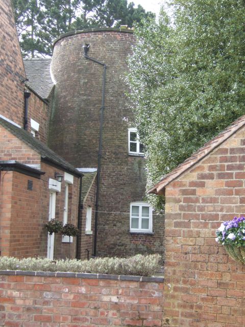
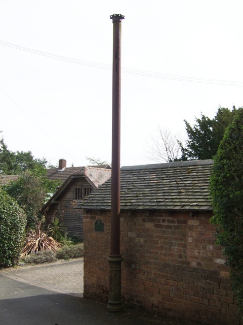
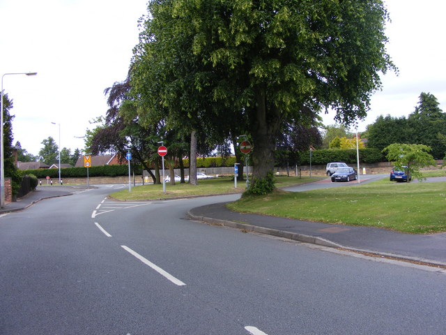
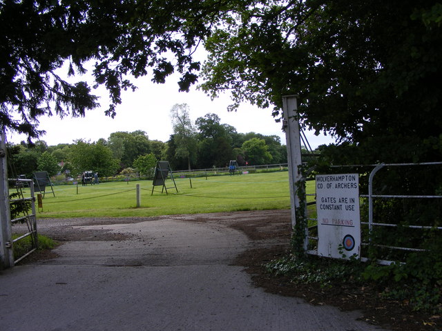
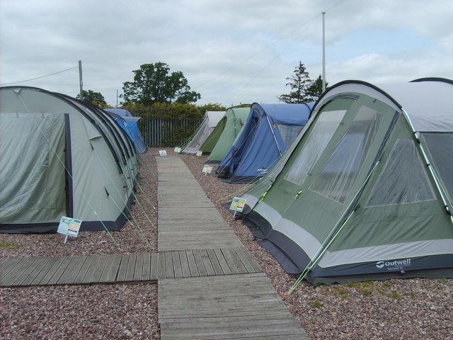
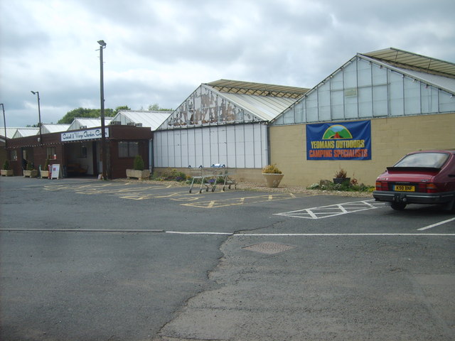
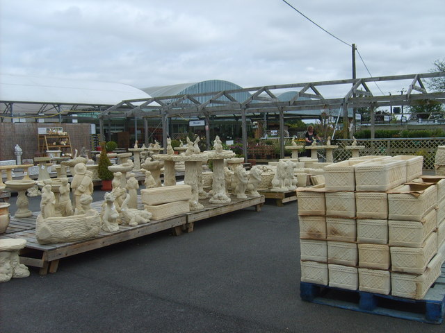
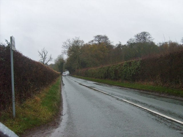
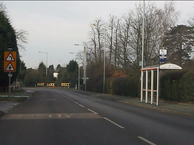
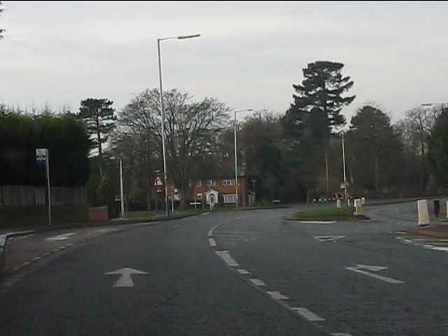
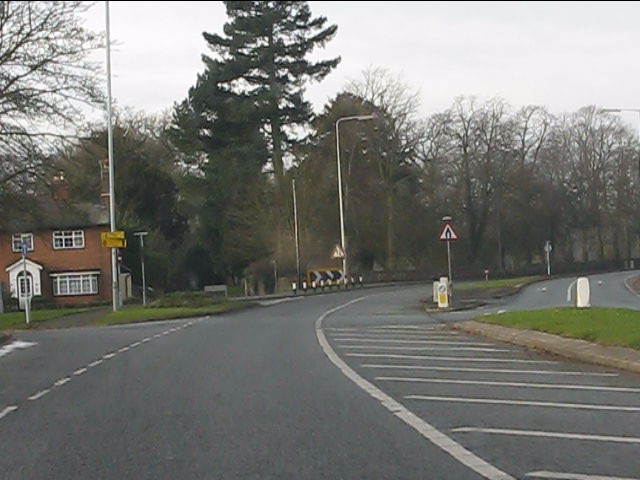
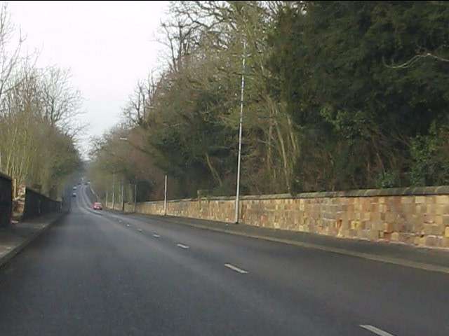
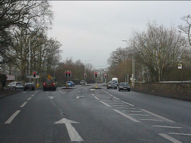
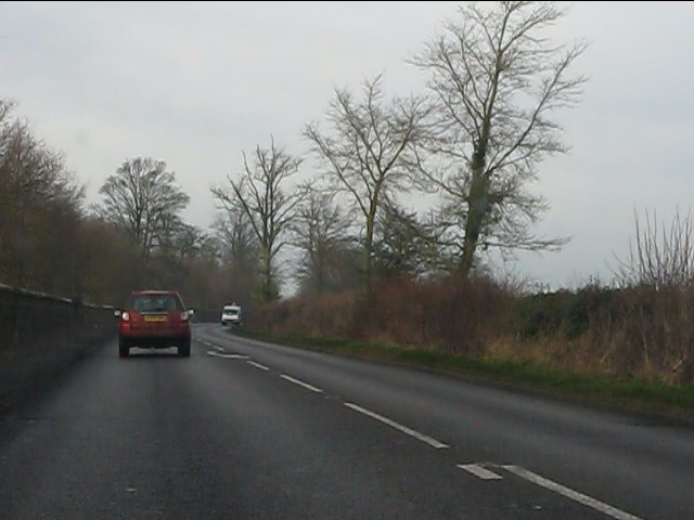
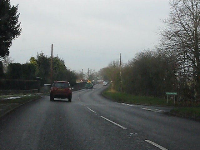
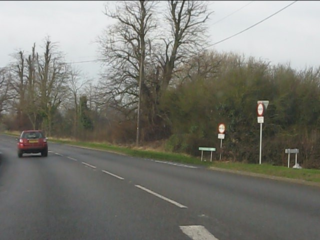
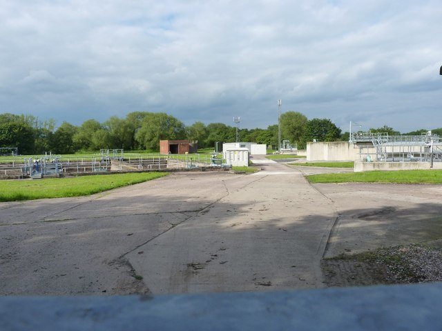
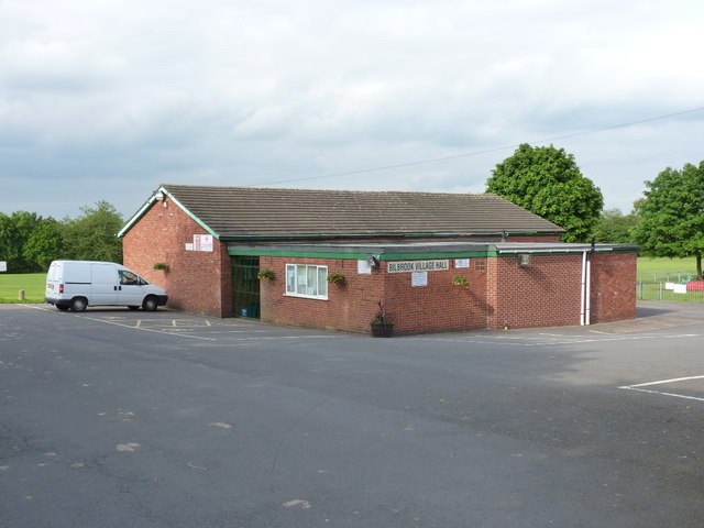
Bedford Gorse Images
Images are sourced within 2km of 52.618629/-2.1910143 or Grid Reference SJ8702. Thanks to Geograph Open Source API. All images are credited.
Bedford Gorse is located at Grid Ref: SJ8702 (Lat: 52.618629, Lng: -2.1910143)
Administrative County: Staffordshire
District: South Staffordshire
Police Authority: Staffordshire
What 3 Words
///smug.scuba.reap. Near Codsall, Staffordshire
Nearby Locations
Related Wikis

Birches Bridge
Birches Bridge is an area of Codsall, Staffordshire. It is situated to the northwest of Wolverhampton between Bilbrook and Codsall. == Name and origins... ==

Bilbrook railway station
Bilbrook railway station is a railway station which serves the village of Bilbrook in Staffordshire, England. It was known as Birches and Bilbrook Halt...

South Staffordshire
South Staffordshire is a local government district in Staffordshire, England. The district lies to the north and west of the West Midlands county, bordering...
Codsall
Codsall is a large village in the South Staffordshire district of Staffordshire, England. It is situated 5 miles northwest of Wolverhampton and 13 miles...

Codsall railway station
Codsall railway station serves the village of Codsall in Staffordshire, England. == History == The original listed GWR footbridge, between the two platforms...
Codsall Community High School
Codsall Community High School is a coeducational upper school and sixth form located in Codsall, Staffordshire, England.It is located in a large village...
Bilbrook, Staffordshire
Bilbrook is a village in the South Staffordshire district of Staffordshire, England. It is situated close to the border of the West Midlands, just outside...
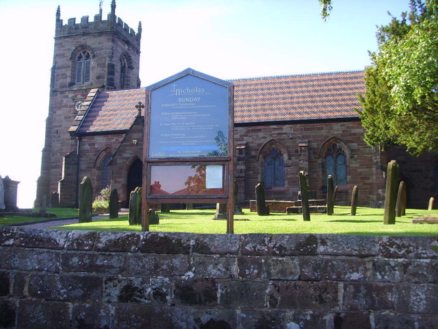
St Nicholas' Church, Codsall
St Nicholas’ Church, Codsall is a Grade II* listed parish church in the Church of England in Codsall == History == The doorway is Norman. The west tower...
Nearby Amenities
Located within 500m of 52.618629,-2.1910143Have you been to Bedford Gorse?
Leave your review of Bedford Gorse below (or comments, questions and feedback).