West End

Settlement in Worcestershire Wychavon

England

West End

Isolated bungalow near Broadway Country Park Photographed from a public foot path. Note the 'fox' on top of the chimney.
Isolated bungalow near Broadway Country Park Credit: Chris Allen

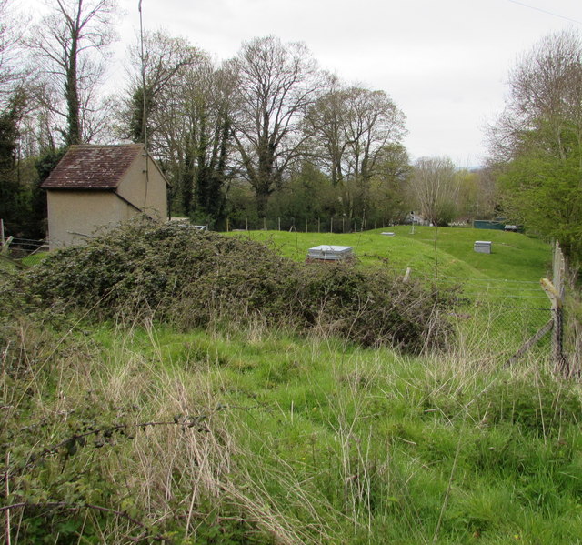
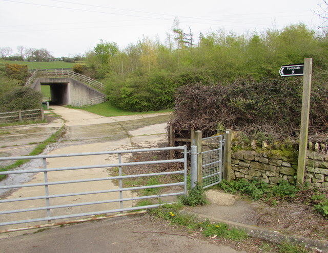
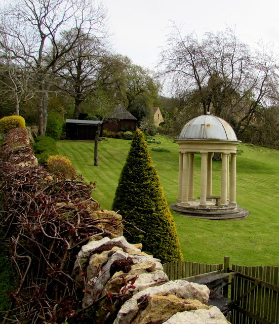
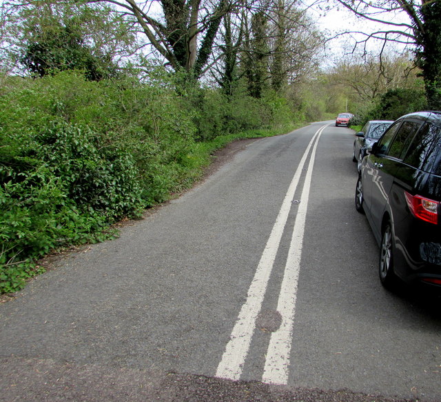
West End is a small village located in the county of Worcestershire, England. Situated in the Wyre Forest District, it is nestled in the heart of the beautiful West Midlands countryside. The village is characterized by its picturesque surroundings, with rolling hills, lush green fields, and charming country lanes.

West End is a close-knit community with a population of approximately 500 residents. The village is known for its friendly and welcoming atmosphere, where neighbors often come together to organize events and activities. The community spirit is evident in the well-maintained village hall, which serves as a hub for various social gatherings and local initiatives.

Although small in size, West End offers its residents and visitors a range of amenities. The village boasts a traditional pub, which serves as a popular meeting place for locals and visitors alike. There is also a village shop, providing essential groceries and everyday items.

Nature enthusiasts will find plenty to explore in the area surrounding West End. The village is located near the Wyre Forest, a vast woodland area that offers numerous walking and cycling trails. The forest is home to a variety of wildlife, including deer, birds, and rare plant species.

West End benefits from its proximity to larger towns and cities. The nearby town of Bewdley offers a wider range of amenities, including shops, restaurants, and leisure facilities. Additionally, the city of Worcester is within easy reach, providing further access to cultural, shopping, and educational opportunities.

Overall, West End is a tranquil and scenic village, offering a peaceful lifestyle in a beautiful natural setting.

If you have any feedback on the listing, please let us know in the comments section below.
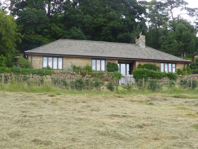
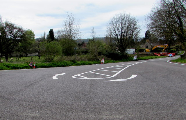
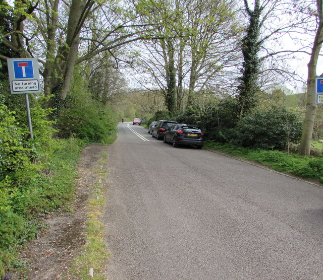
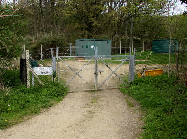
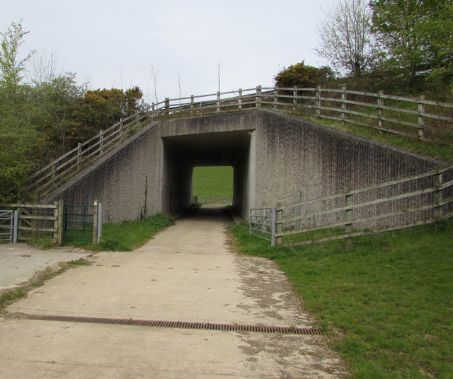
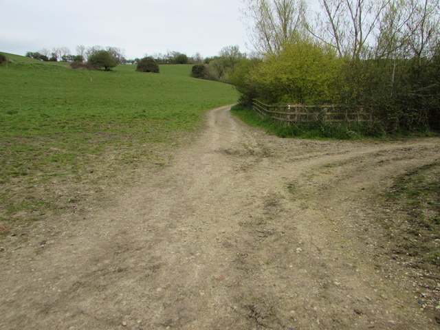
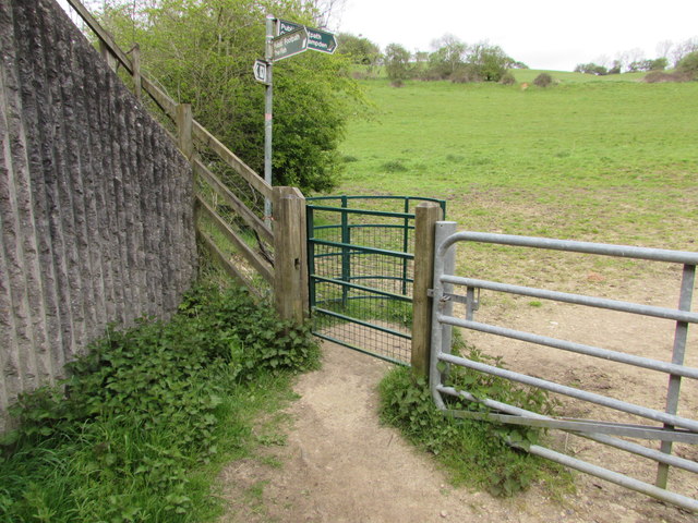
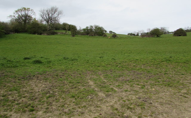
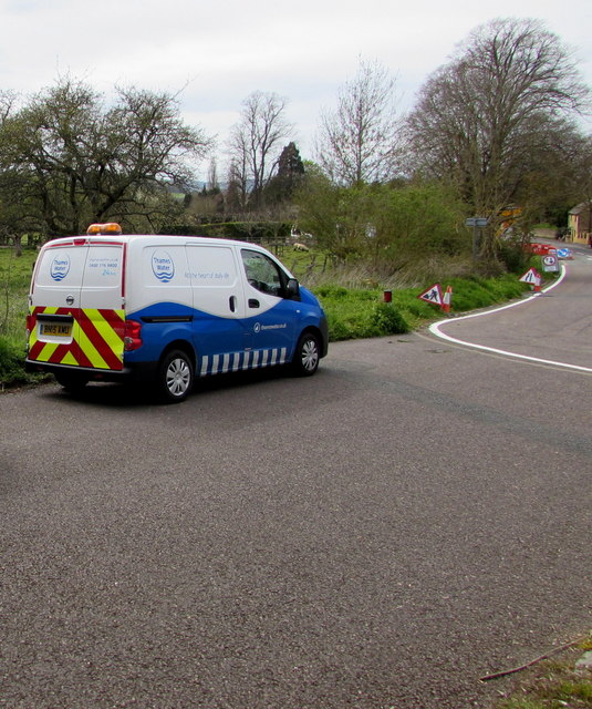
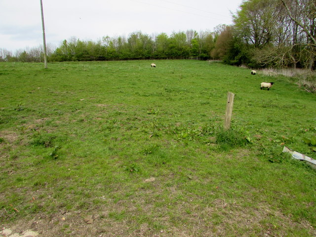
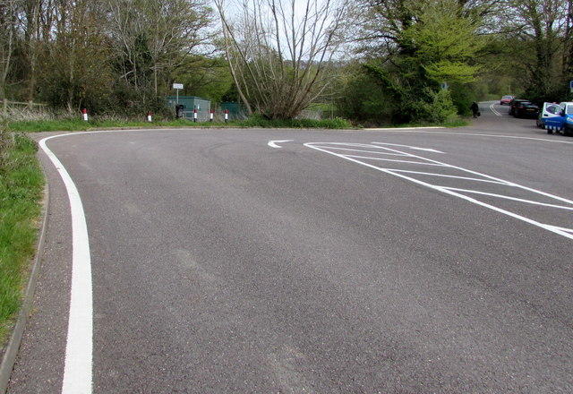
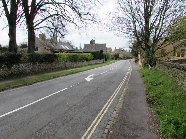
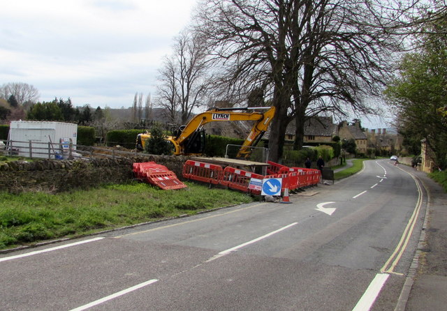
West End Images

Images are sourced within 2km of 52.030705/-1.866787 or Grid Reference SP0936. Thanks to Geograph Open Source API. All images are credited.

Isolated bungalow near Broadway Country Park Photographed from a public foot path. Note the 'fox' on top of the chimney.
Isolated bungalow near Broadway Country Park
Photographed from a public foot path. Note the 'fox' on top of the chimney.
Turning area at the eastern end of High Street, Broadway Broadway's High Street east of Leamington Road is a dead end street for motor vehicles. 
Several tourist coaches passed me today as I was approaching this turning area.
For them, using this area was the easiest way to turn around on High Street.
Turning area at the eastern end of High Street, Broadway
Broadway's High Street east of Leamington Road is a dead end street for motor vehicles. Several tourist coaches passed me today as I was approaching this turning area. For them, using this area was the easiest way to turn around on High Street.
No turning area ahead sign east of High Street, Broadway Viewed from the edge of this <a title="https://www.geograph.org.uk/photo/4932544" href="https://www.geograph.org.uk/photo/4932544">Link</a> turning area.
No turning area ahead sign east of High Street, Broadway
Viewed from the edge of this Link turning area.
Locked entrance gate to a Severn Trent Water site, Broadway Near the turning area <a title="https://www.geograph.org.uk/photo/4932544" href="https://www.geograph.org.uk/photo/4932544">Link</a> at the eastern end of High Street. 
The nameboard on the left shows  Severn Trent Water Worcester District Broadway.
Maps show that the site contains covered reservoirs.
Locked entrance gate to a Severn Trent Water site, Broadway
Near the turning area Link at the eastern end of High Street. The nameboard on the left shows Severn Trent Water Worcester District Broadway. Maps show that the site contains covered reservoirs.
Fish Hill underpass, Broadway A public footpath towards Chipping Campden passes under the A44 Fish Hill.
Fish Hill underpass, Broadway
A public footpath towards Chipping Campden passes under the A44 Fish Hill.
Public footpath junction, Broadway A nearby signpost shows that the path ahead is towards Chipping Campden. The right turn is towards The Fish.
Public footpath junction, Broadway
A nearby signpost shows that the path ahead is towards Chipping Campden. The right turn is towards The Fish.
Kissing gate across a public footpath, Broadway Between the far side of this A44 underpass <a title="https://www.geograph.org.uk/photo/4932608" href="https://www.geograph.org.uk/photo/4932608">Link</a> and a path junction. <a title="https://www.geograph.org.uk/photo/4932619" href="https://www.geograph.org.uk/photo/4932619">Link</a>
Kissing gate across a public footpath, Broadway
Between the far side of this A44 underpass Link and a path junction. Link
Gently sloping ground, Broadway Ascending from the north side of this <a title="https://www.geograph.org.uk/photo/4932619" href="https://www.geograph.org.uk/photo/4932619">Link</a> path junction.
Gently sloping ground, Broadway
Ascending from the north side of this Link path junction.
Covered reservoir in the east of Broadway Viewed over the perimeter fence of the Severn Trent Water site.
Covered reservoir in the east of Broadway
Viewed over the perimeter fence of the Severn Trent Water site.
Public footpath towards an underpass, Broadway This is the Broadway side of a public footpath towards Chipping Campden. 
The underpass <a title="https://www.geograph.org.uk/photo/4932608" href="https://www.geograph.org.uk/photo/4932608">Link</a> is below the A44 Fish Hill.
Public footpath towards an underpass, Broadway
This is the Broadway side of a public footpath towards Chipping Campden. The underpass Link is below the A44 Fish Hill.
Pillared and domed structure over a bench in a Broadway garden Giving protection from rain falling vertically, but not from wind-blown rain.
Pillared and domed structure over a bench in a Broadway garden
Giving protection from rain falling vertically, but not from wind-blown rain.
Double white lines on a dead-end road east of High Street, Broadway In 2016, this road ends about 300 metres ahead, near the A44 Fish Hill. Old maps show that this used to be a through road, before the construction of the current route of the A44. 

This road appears to be where a few visitors to Broadway choose to park a car for free, to avoid using the pay and display car parks in the village, though this location is nearly a kilometre from the village centre.
Double white lines on a dead-end road east of High Street, Broadway
In 2016, this road ends about 300 metres ahead, near the A44 Fish Hill. Old maps show that this used to be a through road, before the construction of the current route of the A44. This road appears to be where a few visitors to Broadway choose to park a car for free, to avoid using the pay and display car parks in the village, though this location is nearly a kilometre from the village centre.
Thames Water van in Severn Trent Water territory, Broadway I don't know where the northern edge of the Thames Water area is, but it must be some way south of this point in SE Worcestershire. The Thames Water  van is parked near an entrance <a title="https://www.geograph.org.uk/photo/4932597" href="https://www.geograph.org.uk/photo/4932597">Link</a> to a Severn Trent Water site.
Thames Water van in Severn Trent Water territory, Broadway
I don't know where the northern edge of the Thames Water area is, but it must be some way south of this point in SE Worcestershire. The Thames Water van is parked near an entrance Link to a Severn Trent Water site.
Sheep in a Broadway field Viewed from a field gate on the north side of the turning area <a title="https://www.geograph.org.uk/photo/4932544" href="https://www.geograph.org.uk/photo/4932544">Link</a> at the eastern end of High Street.
Sheep in a Broadway field
Viewed from a field gate on the north side of the turning area Link at the eastern end of High Street.
Eastern end of High Street, Broadway High Street Broadway ends at this turning area. 
On the right, the narrow road beyond the turning area is a dead end.
Eastern end of High Street, Broadway
High Street Broadway ends at this turning area. On the right, the narrow road beyond the turning area is a dead end.
White arrow on High Street, Broadway On the approach to the turning area <a title="https://www.geograph.org.uk/photo/4932544" href="https://www.geograph.org.uk/photo/4932544">Link</a> at the eastern end of High Street.
White arrow on High Street, Broadway
On the approach to the turning area Link at the eastern end of High Street.
Flood alleviation work at the eastern end of High Street, Broadway Viewed on May 1st 2016. A nearby temporary sign shows
Flood alleviation work on behalf of Worcestershire Highways.
Flood alleviation work at the eastern end of High Street, Broadway
Viewed on May 1st 2016. A nearby temporary sign shows Flood alleviation work on behalf of Worcestershire Highways.
L Lynch excavator at the edge of High Street, Broadway Viewed on May 1st 2016. A nearby temporary sign shows
Flood alleviation work on behalf of Worcestershire Highways.
L Lynch (Lynch Plant Hire) are specialists who provide self-drive and operated 
plant hire to a variety of sectors within the construction industry.
L Lynch excavator at the edge of High Street, Broadway
Viewed on May 1st 2016. A nearby temporary sign shows Flood alleviation work on behalf of Worcestershire Highways. L Lynch (Lynch Plant Hire) are specialists who provide self-drive and operated plant hire to a variety of sectors within the construction industry.
Show me another place!

West End is located at Grid Ref: SP0936 (Lat: 52.030705, Lng: -1.866787)

Administrative County: Worcestershire

District: Wychavon

Police Authority: West Mercia

What 3 Words

///ambient.swerving.whistling. Near Broadway, Worcestershire

Related Wikis

Broadway War Memorial

The Broadway War Memorial is located on the village green in the village of Broadway in Worcestershire. The memorial marks the deaths of local individuals...
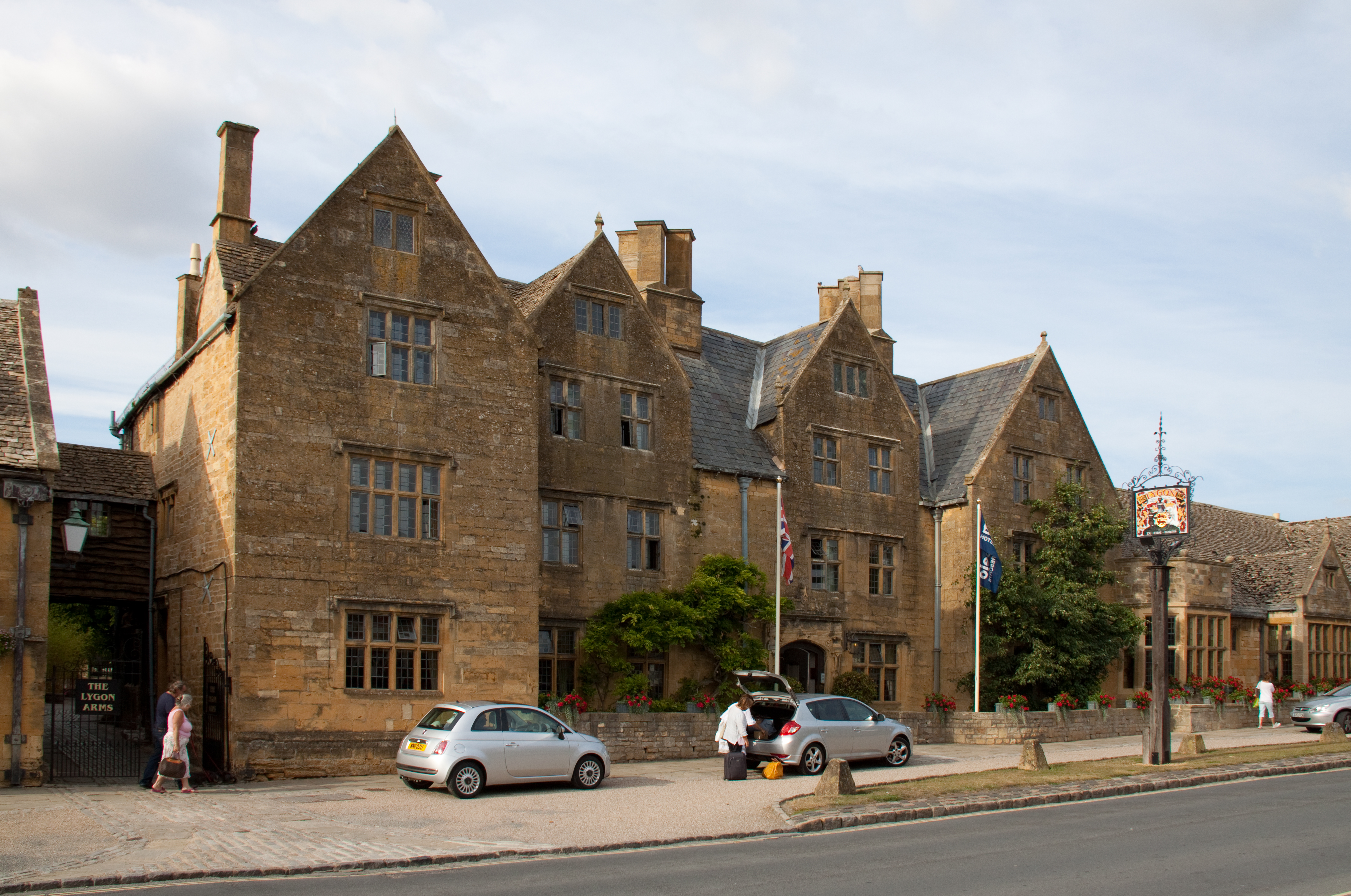
Lygon Arms

The Lygon Arms ( LIG-ən) is a Grade II* listed hotel in Broadway, Worcestershire, originally a coaching inn. The current building dates from the seventeenth...

Broadway, Worcestershire

Broadway is a large village and civil parish in the Cotswolds, England, with a population of 2,540 at the 2011 census. It is in the far southeast of Worcestershire...

Broadway railway station

Broadway railway station is a railway station on the heritage Gloucestershire Warwickshire Railway in the village of Broadway in Worcestershire, England...

Buckland, Gloucestershire

Buckland is a village and civil parish in the borough of Tewkesbury, Gloucestershire, England. The parish, which also includes the village of Laverton...

Broadway Tower, Worcestershire

Broadway Tower is an 18th-century folly near the village of Broadway, in the English county of Worcestershire. It is a Grade II listed building.Broadway...

Laverton, Gloucestershire

Laverton is a village in Tewkesbury Borough in Gloucestershire, England. It lies less than a mile south of the village of Buckland, and is in the civil...

Childswickham

Childswickham is a village in Worcestershire, England, situated within the flat open landscape of the Vale of Evesham, between the Bredon and Cotswold...

Nearby Amenities

Located within 500m of 52.030705,-1.866787
Pye Corner
Junction: yes
Lat/Long: 52.0292184/-1.8617411
Barrier: kissing_gate
Lat/Long: 52.0336804/-1.8644436
Barrier: stile
Stile: squeezer
Lat/Long: 52.0333319/-1.8661404
Foot: yes
Removed Barrier: gate
Lat/Long: 52.0334519/-1.8673364
Barrier: kissing_gate
Lat/Long: 52.0324519/-1.8656064
Barrier: stile
Lat/Long: 52.0324362/-1.8655257
Barrier: stile
Lat/Long: 52.0320185/-1.8632041
Barrier: stile
Lat/Long: 52.0321235/-1.8618934
Barrier: stile
Lat/Long: 52.0314984/-1.8626208
Barrier: kissing_gate
Lat/Long: 52.0324309/-1.8656825
Barrier: stile
Lat/Long: 52.0324602/-1.8728127
Post Box
Post Box Type: wall
Ref: WR12 29
Royal Cypher: VR
Royal Cypher Wikidata: Q33102356
Lat/Long: 52.0298043/-1.8620517
Barrier: stile
Lat/Long: 52.0308123/-1.8732767
Barrier: stile
Lat/Long: 52.0319515/-1.8706009
Barrier: kissing_gate
Foot: yes
Lat/Long: 52.0319892/-1.8695982
Barrier: stile
Lat/Long: 52.0319027/-1.870034
Barrier: kissing_gate
Lat/Long: 52.0281268/-1.8637628
Barrier: kissing_gate
Lat/Long: 52.0288591/-1.8628159
HE Ref: 399021
Barrier: gate_pier
Listed Status: Grade II
Source Listed Status: English Heritage
Lat/Long: 52.0337961/-1.8633568
HE Ref: 399021
Barrier: gate_pier
Listed Status: Grade II
Source Listed Status: English Heritage
Lat/Long: 52.0338276/-1.8633606
Barrier: stile
Lat/Long: 52.0319427/-1.8630015
Barrier: kissing_gate
Lat/Long: 52.0325728/-1.8709372
Barrier: kissing_gate
Lat/Long: 52.0325251/-1.8707937
Barrier: kissing_gate
Lat/Long: 52.032012/-1.8697955
Bench
Lat/Long: 52.0323761/-1.8696519
Bench
Lat/Long: 52.0324021/-1.8695895
Information: board
Tourism: information
Lat/Long: 52.0324075/-1.8695285
Information: board
Tourism: information
Lat/Long: 52.0323967/-1.8696331
Information: board
Tourism: information
Lat/Long: 52.032365/-1.8697089
Information: board
Tourism: information
Lat/Long: 52.0328047/-1.871569
Material: wood
Power: pole
Lat/Long: 52.0319318/-1.863684
Bury End West
Location Transition: yes
Material: wood
Power: pole
Transformer: distribution
Voltage Primary: 11000
Lat/Long: 52.0312478/-1.869214
West End Broadway
Location Transition: yes
Material: wood
Power: pole
Lat/Long: 52.0318229/-1.8653812
Material: wood
Power: pole
Lat/Long: 52.0317783/-1.8643968
Material: wood
Power: pole
Lat/Long: 52.03211/-1.8628867
Material: wood
Power: pole
Lat/Long: 52.0322495/-1.8611889
Material: wood
Power: pole
Lat/Long: 52.0321356/-1.8600865
Bury End North
Material: wood
Power: pole
Transformer: distribution
Voltage Primary: 11000
Lat/Long: 52.0318617/-1.8608174
Material: wood
Power: pole
Lat/Long: 52.0311612/-1.8613766
Bury End Broadway
Material: wood
Power: pole
Transformer: distribution
Voltage Primary: 11000
Lat/Long: 52.0304598/-1.8619654
Material: wood
Power: pole
Lat/Long: 52.0298493/-1.8615939
Location Transition: yes
Material: wood
Power: pole
Lat/Long: 52.0292057/-1.8612063
The data included in this document is from www.openstreetmap.org. The data is made available under ODbL.

Have you been to West End?

Leave your review of West End below (or comments, questions and feedback).