Court Coppice
Wood, Forest in Worcestershire Wychavon
England
Court Coppice
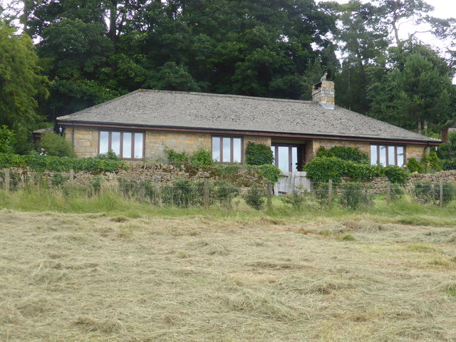
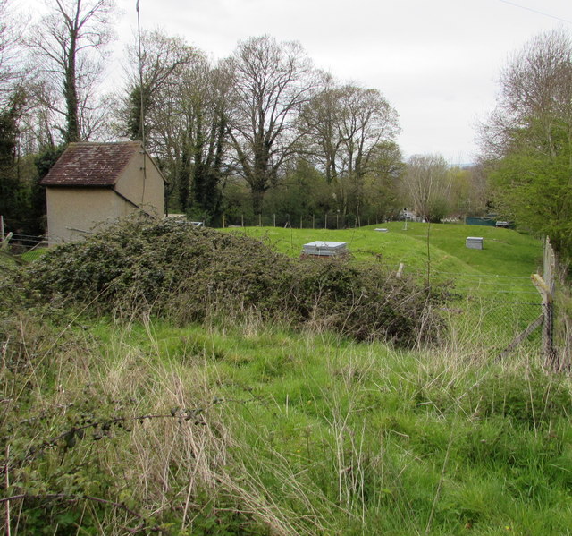
Court Coppice is a picturesque woodland area located in the county of Worcestershire, England. Situated within the heart of the county, the coppice is surrounded by rolling hills and charming countryside. It covers an area of approximately 15 acres and is known for its diverse range of trees and wildlife.
The woodland is primarily made up of coppiced trees, which are regularly cut back to encourage new growth. This traditional management technique ensures a healthy and sustainable woodland ecosystem. The trees found in Court Coppice include oak, ash, hazel, and birch, among others, providing a rich and varied habitat for many species of birds, mammals, and insects.
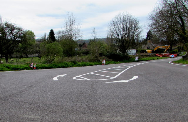
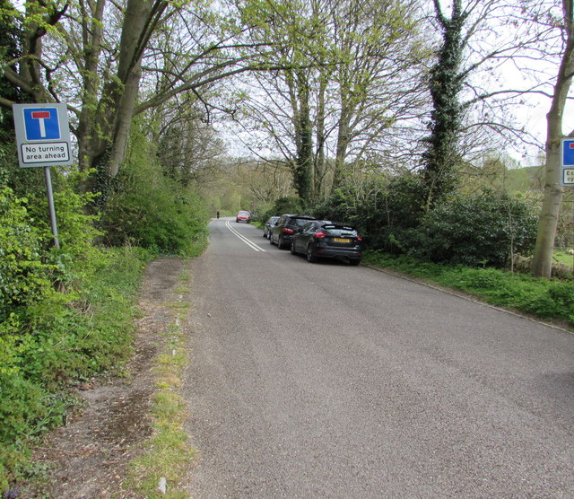
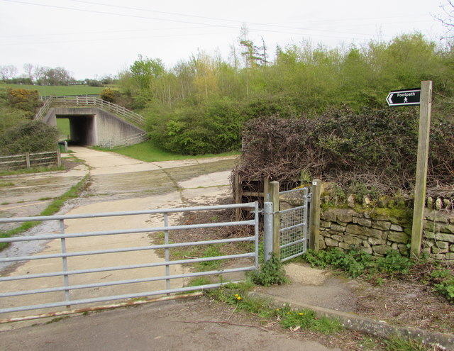
Visitors to Court Coppice can enjoy a peaceful and tranquil environment, perfect for walking, birdwatching, and nature photography. The woodland is crisscrossed by a network of paths and trails, allowing visitors to explore its beauty at their own pace. In the spring, the forest floor comes alive with a vibrant display of bluebells, creating a stunning carpet of color.
The coppice is also home to a variety of wildlife, including foxes, badgers, rabbits, and numerous bird species. It is a haven for nature enthusiasts and provides an opportunity to observe and appreciate the natural world up close.
Located just a short distance from the nearby village, Court Coppice is easily accessible and offers a peaceful retreat from the hustle and bustle of everyday life. Whether one seeks solitude, natural beauty, or a chance to reconnect with nature, Court Coppice is a delightful destination for all.
If you have any feedback on the listing, please let us know in the comments section below.
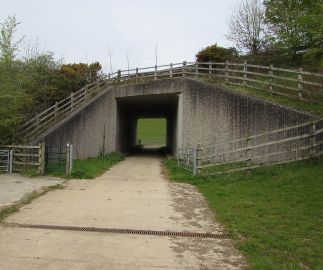
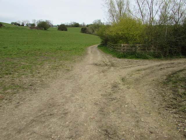
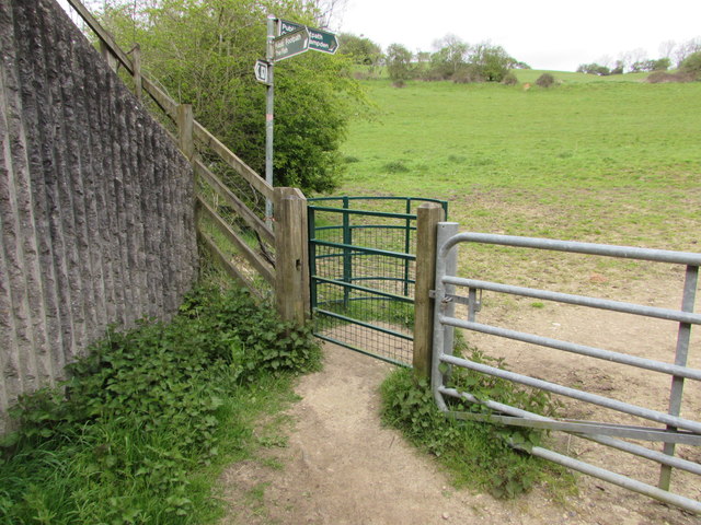
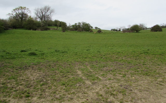
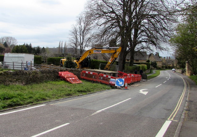
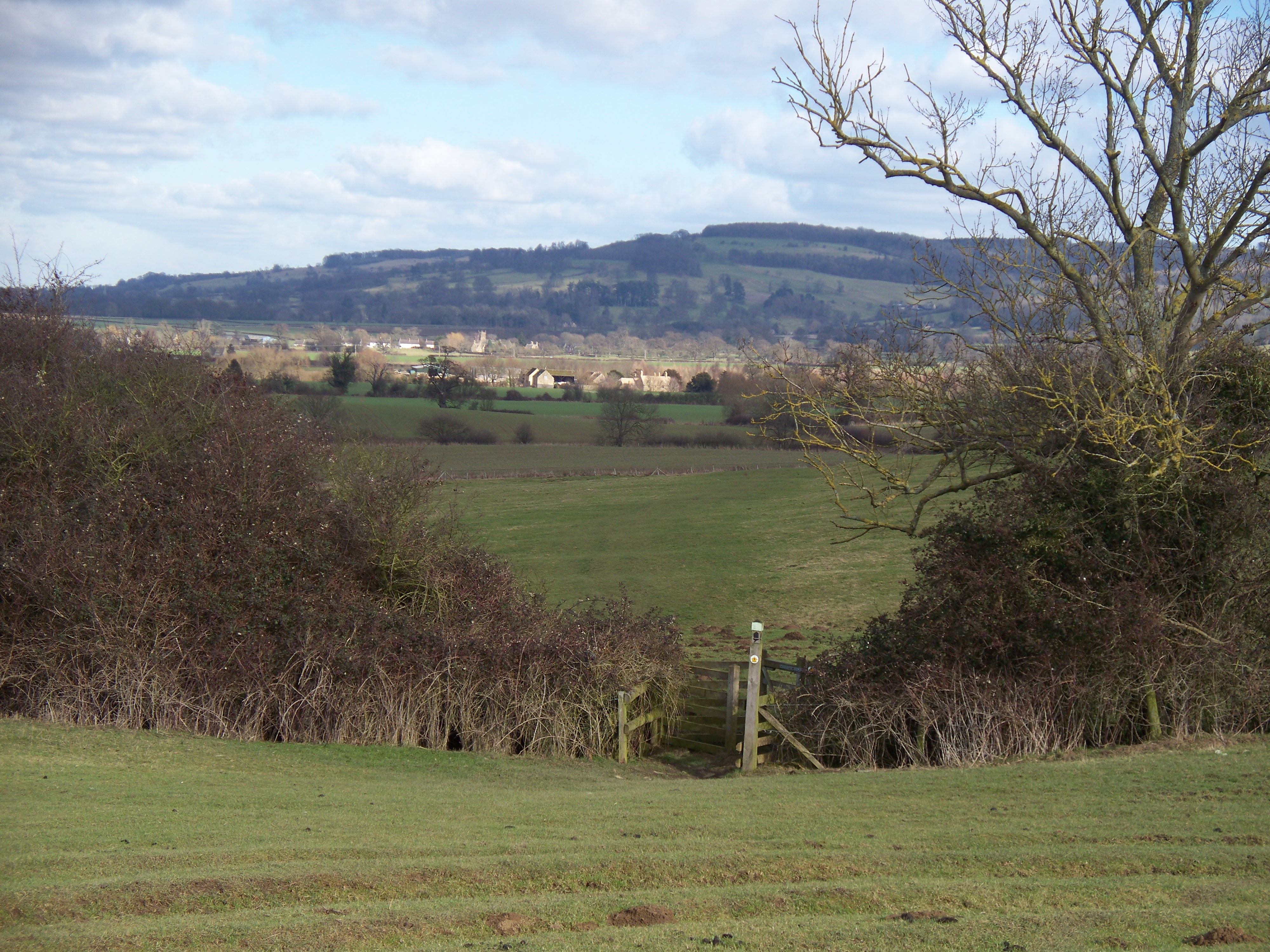
Court Coppice Images
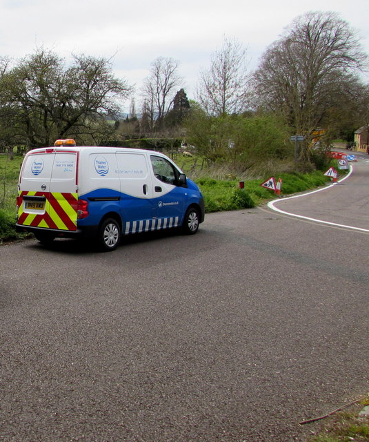
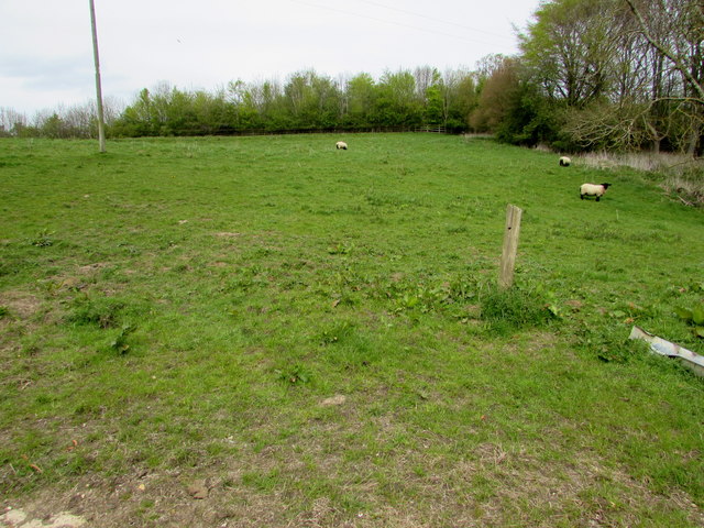
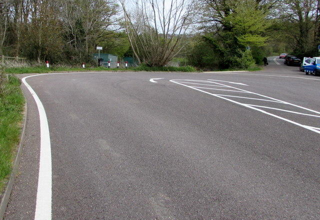
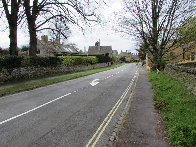
Images are sourced within 2km of 52.026179/-1.8564087 or Grid Reference SP0936. Thanks to Geograph Open Source API. All images are credited.

Court Coppice is located at Grid Ref: SP0936 (Lat: 52.026179, Lng: -1.8564087)
Administrative County: Worcestershire
District: Wychavon
Police Authority: West Mercia
What 3 Words
///aunts.reliving.terminal. Near Broadway, Worcestershire
Nearby Locations
Related Wikis
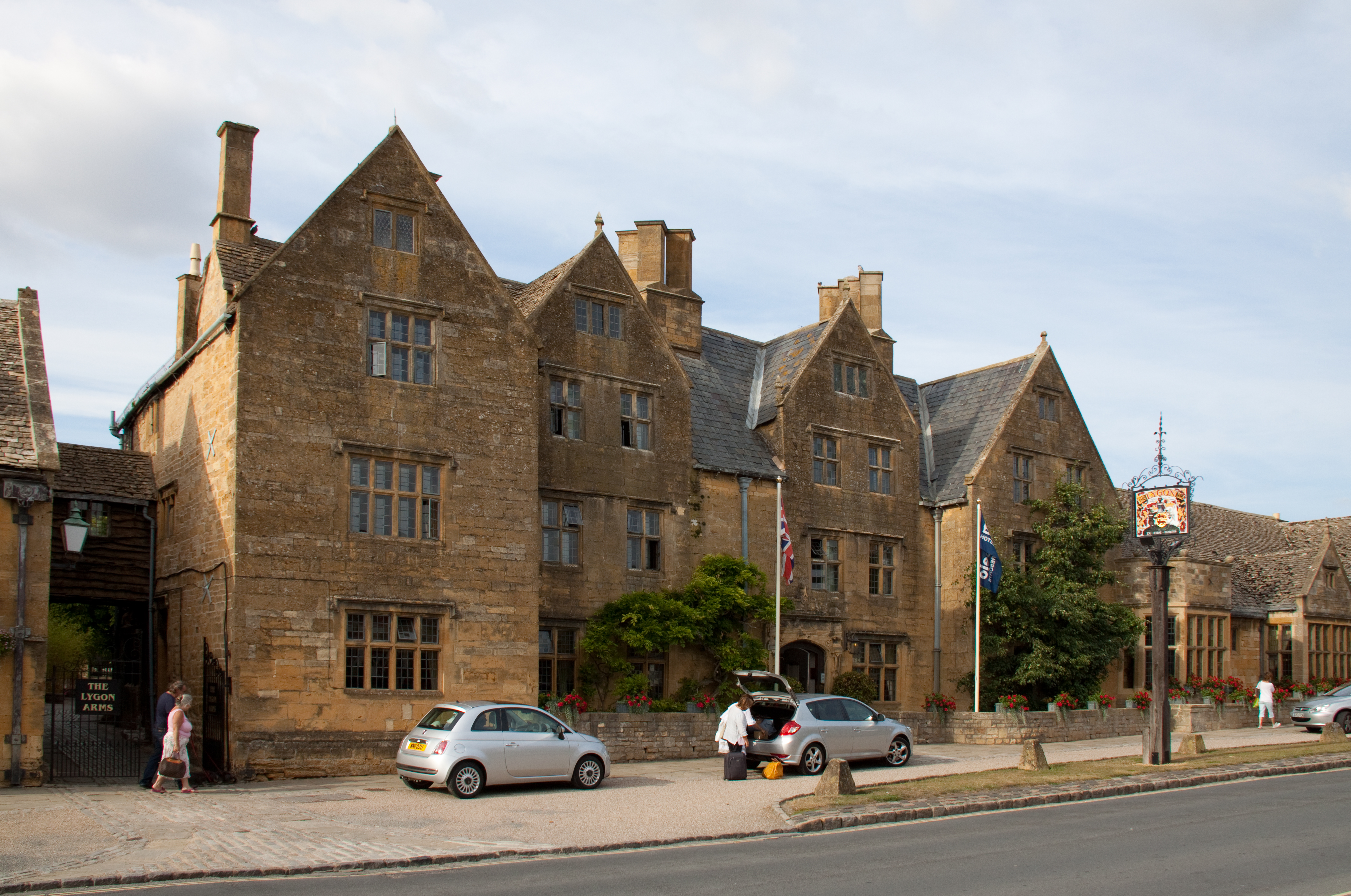
Lygon Arms
The Lygon Arms ( LIG-ən) is a Grade II* listed hotel in Broadway, Worcestershire, originally a coaching inn. The current building dates from the seventeenth...

Broadway War Memorial
The Broadway War Memorial is located on the village green in the village of Broadway in Worcestershire. The memorial marks the deaths of local individuals...

Broadway Tower, Worcestershire
Broadway Tower is an 18th-century folly near the village of Broadway, in the English county of Worcestershire. It is a Grade II listed building.Broadway...

Broadway, Worcestershire
Broadway is a large village and civil parish in the Cotswolds, England, with a population of 2,540 at the 2011 census. It is in the far southeast of Worcestershire...

Buckland, Gloucestershire
Buckland is a village and civil parish in the borough of Tewkesbury, Gloucestershire, England. The parish, which also includes the village of Laverton...

Broadway railway station
Broadway railway station is a railway station on the heritage Gloucestershire Warwickshire Railway in the village of Broadway in Worcestershire, England...

Seven Wells Hill
Seven Wells Hill is a prominent hill in the Cotswolds hill range in the counties of Gloucestershire and Worcestershire. At 319 metres (1,047 ft), is the...
Shenberrow Hill
Shenberrow Hill is a prominent hill in the Cotswolds hill range in the county of Gloucestershire and, at 304 metres (997 ft), is the third highest point...
Nearby Amenities
Located within 500m of 52.026179,-1.8564087Have you been to Court Coppice?
Leave your review of Court Coppice below (or comments, questions and feedback).