Beggarside Wood

Wood, Forest in Durham

England

Beggarside Wood

View over fields from Industrial Estate at Delves Lane
View over fields from Industrial Estate at Delves Lane Credit: Vivienne Smith

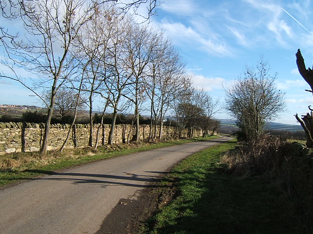
Beggarside Wood is a charming woodland located in County Durham, England. Covering an area of approximately 50 acres, this forest is a wonderful destination for nature enthusiasts and those seeking a peaceful retreat.

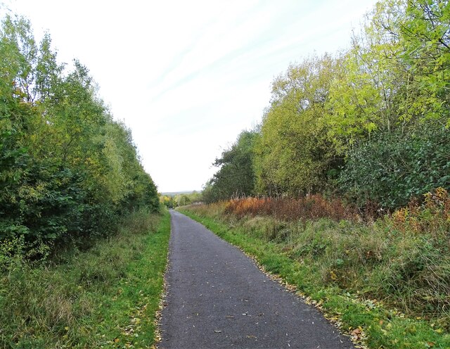
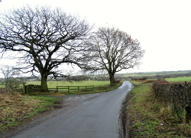
The wood is predominantly composed of deciduous trees such as oak, beech, and birch, creating a beautiful and diverse landscape throughout the changing seasons. The woodland floor is adorned with a carpet of bluebells in the spring, while in autumn, the trees transform into a stunning display of vibrant reds, oranges, and yellows.

Beggarside Wood is home to a wide variety of wildlife, offering visitors the chance to observe and appreciate the natural inhabitants of the area. Birdwatchers can spot species such as woodpeckers, thrushes, and owls, while small mammals including squirrels, rabbits, and foxes can also be glimpsed among the trees.

The forest is crisscrossed by several footpaths, allowing visitors to explore and enjoy the tranquil surroundings. These paths lead to a small stream that meanders through the wood, adding to the serenity of the area. The wood is also equipped with benches and picnic areas, providing visitors with the opportunity to relax and soak up the peaceful atmosphere.

Beggarside Wood is a popular spot for nature walks, photography, and family outings. Its proximity to nearby towns and villages makes it easily accessible for both locals and tourists alike. Whether it be for a leisurely stroll, a picnic, or simply to immerse oneself in the beauty of nature, Beggarside Wood offers a delightful experience for all who venture within its grounds.

If you have any feedback on the listing, please let us know in the comments section below.

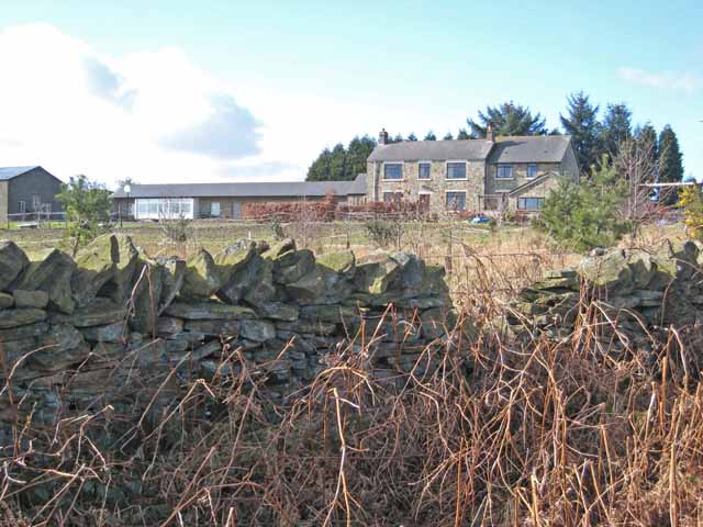
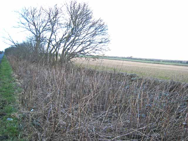
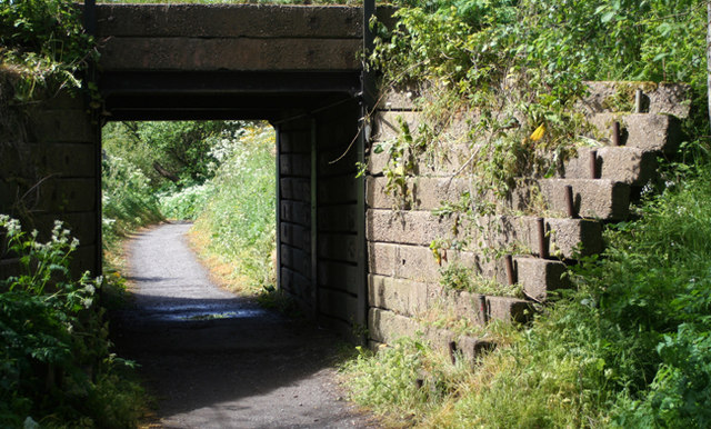
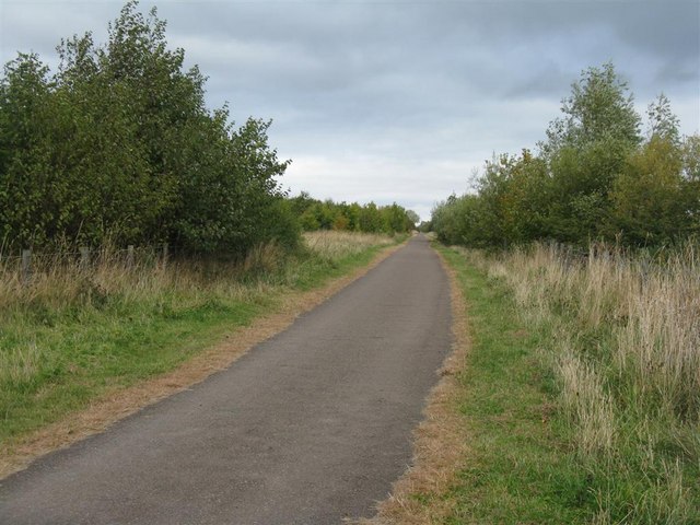
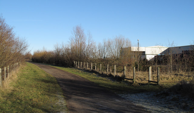
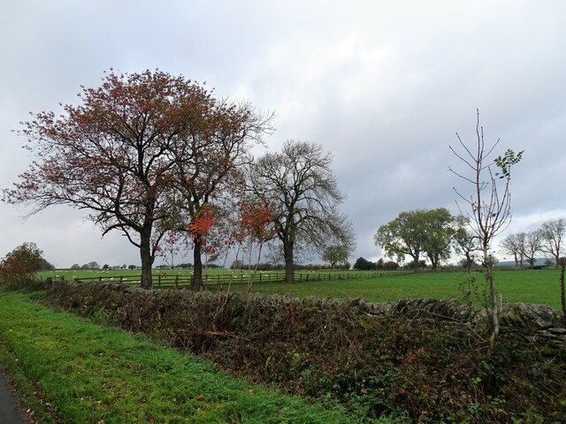
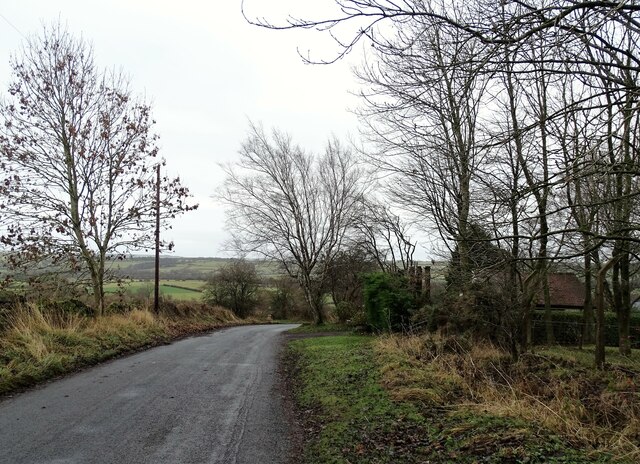
Beggarside Wood Images

Images are sourced within 2km of 54.826274/-1.8466219 or Grid Reference NZ0947. Thanks to Geograph Open Source API. All images are credited.

View over fields from Industrial Estate at Delves Lane
Consett and Sunderland cycle path The Consett and Sunderland railway path is a component of the C2C cycle route, and carries large numbers of recreational cyclists throughout the year. This section runs between Lydgett Junction and the Consett By-pass
Consett and Sunderland cycle path
The Consett and Sunderland railway path is a component of the C2C cycle route, and carries large numbers of recreational cyclists throughout the year. This section runs between Lydgett Junction and the Consett By-pass
A gnarley tree at Rabbitbank Woods Much of the woods here are within a nature reserve run by Durham Wildlife Trust.
A gnarley tree at Rabbitbank Woods
Much of the woods here are within a nature reserve run by Durham Wildlife Trust.
Tidy work The wall here has been very nicely rebuilt in recent times.
Tidy work
The wall here has been very nicely rebuilt in recent times.
Chapel View Green Burial Services It is not entirely clear what this premises is. There appears to be a chapel-of-rest under construction or reconstruction. The plot is either a country cemetery or the base from which green burials are carried out at other sites.
Chapel View Green Burial Services
It is not entirely clear what this premises is. There appears to be a chapel-of-rest under construction or reconstruction. The plot is either a country cemetery or the base from which green burials are carried out at other sites.
Muddy gateway Miller's Hill Lane, Rowley.
Muddy gateway
Miller's Hill Lane, Rowley.
Footpath off Longedge Lane Consett town <a href="https://www.geograph.org.uk/gridref/NZ1050">NZ1050</a> can just be seen on the horizon.
Footpath off Longedge Lane
Consett town NZ1050 can just be seen on the horizon.
Pondfield Villa on Miller's Hill Lane, Rowley Viewed from Longedge Lane.
Pondfield Villa on Miller's Hill Lane, Rowley
Viewed from Longedge Lane.
Verge on Longedge Lane Longedge Lane is one of a network of straight roads in this corner of western County Durham.
Verge on Longedge Lane
Longedge Lane is one of a network of straight roads in this corner of western County Durham.
Bridge A bridge over the cycleway that runs along the trackbed of the old railway line.
Bridge
A bridge over the cycleway that runs along the trackbed of the old railway line.
The Consett and Sunderland Cyclepath NCN 7, looking east from near Lydgate.
The Consett and Sunderland Cyclepath
NCN 7, looking east from near Lydgate.
Valley of Knitsley Burn The valley of the Knitsley Burn, S. of the old steel town of Consett is seen here from a minor road to the N. Durham Wildlife Trust has a nature reserve in the stretch below known as Rabbit Bank Wood.
Valley of Knitsley Burn
The valley of the Knitsley Burn, S. of the old steel town of Consett is seen here from a minor road to the N. Durham Wildlife Trust has a nature reserve in the stretch below known as Rabbit Bank Wood.
Consett & Sunderland Railway Path The Consett and Sunderland Railway Path is seen north-east of Lydgetts Junction. The factory in view is the premises of International Cuisine which prepares ready meals for a number of supermarkets.
Consett & Sunderland Railway Path
The Consett and Sunderland Railway Path is seen north-east of Lydgetts Junction. The factory in view is the premises of International Cuisine which prepares ready meals for a number of supermarkets.
Autumn field trees On the north side of Outputs Lane.
Autumn field trees
On the north side of Outputs Lane.
Autumn view down the railway path Looking south along the Sunderland and Consett Railway Path.
Autumn view down the railway path
Looking south along the Sunderland and Consett Railway Path.
Looking down Knitsley Lane View south down this lane which leads out into the countryside south of Consett.
Looking down Knitsley Lane
View south down this lane which leads out into the countryside south of Consett.
Winter trees on Knitsley Lane View looking south down this country lane leading south from Consett.
Winter trees on Knitsley Lane
View looking south down this country lane leading south from Consett.
Fields beside Knitsley Lane Looking across the fields to the east of the road. Most of the land around hear is used for grazing.
Fields beside Knitsley Lane
Looking across the fields to the east of the road. Most of the land around hear is used for grazing.
Show me another place!

Beggarside Wood is located at Grid Ref: NZ0947 (Lat: 54.826274, Lng: -1.8466219)

Unitary Authority: County Durham

Police Authority: Durham

What 3 Words

///soil.sapping.clauses. Near Castleside, Co. Durham

Related Wikis

Hownsgill Viaduct

The Hownsgill Viaduct (in some sources called Hownes Gill Viaduct and locally called the Gill bridge) is a former railway bridge located west of Consett...

Rowley railway station (England)

Rowley railway station served the hamlet of Rowley and the village of Castleside in County Durham, England from 1845 to 1966 on the Derwent Railway....

Knitsley

Knitsley is a hamlet in and former civil parish, now in the parish of Healeyfield, in the County Durham district, in the ceremonial county of Durham, England...

Consett Academy

Consett Academy is a secondary academy school in Consett, the result of a merger between Consett Community Sports College and Moorside Community Technology...

Nearby Amenities

Located within 500m of 54.826274,-1.8466219
Generator Method: wind_turbine
Generator Source: wind
Power: generator
Lat/Long: 54.8263819/-1.8535298
The data included in this document is from www.openstreetmap.org. The data is made available under ODbL.

Have you been to Beggarside Wood?

Leave your review of Beggarside Wood below (or comments, questions and feedback).