Healeyfield

Civil Parish in Durham

England

Healeyfield

Tidy work The wall here has been very nicely rebuilt in recent times.
Tidy work Credit: David Collins

Healeyfield is a civil parish located in the county of Durham, in the northeast of England. Situated approximately 8 miles southwest of the city of Durham, Healeyfield is a small and rural community with a population of around 500 people.

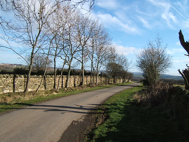
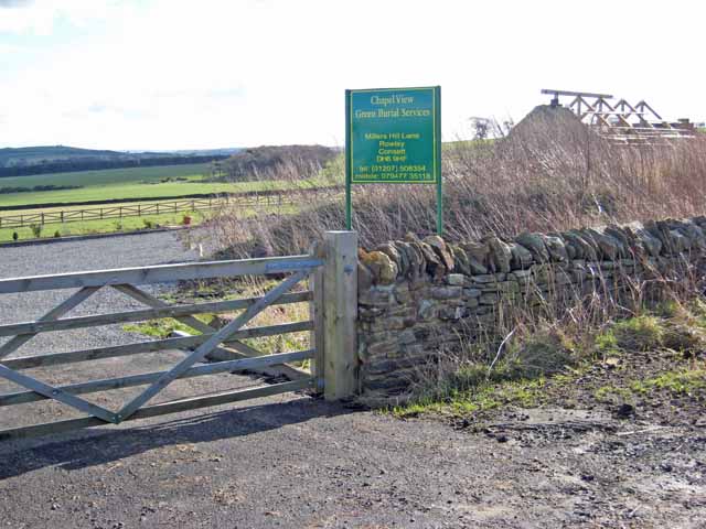
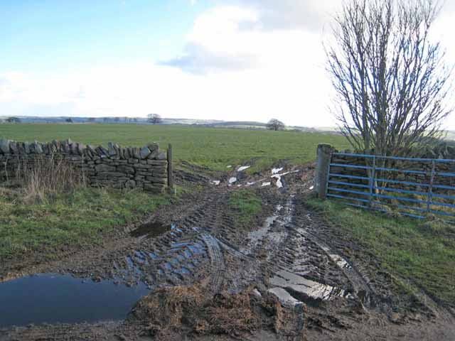
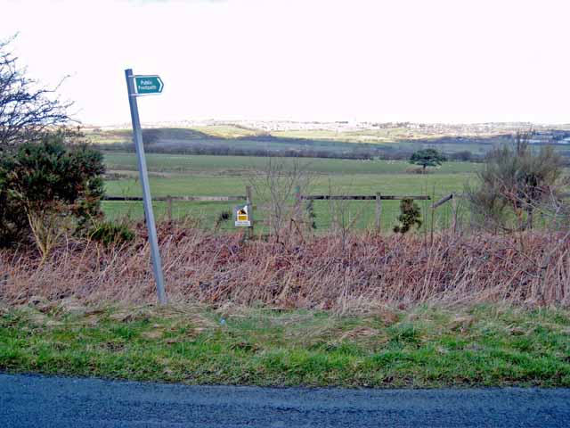
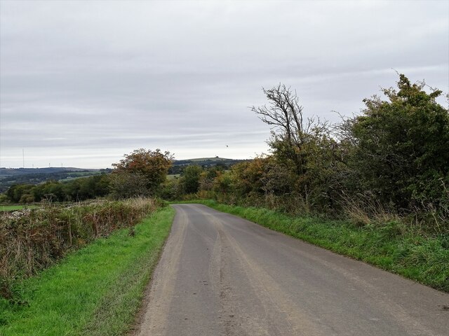
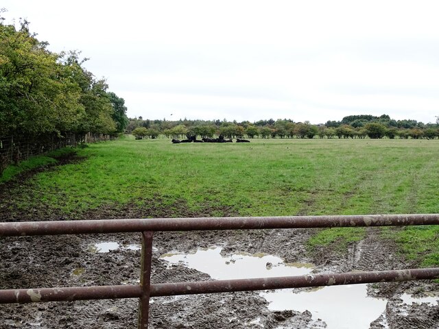
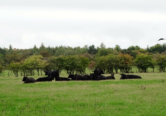
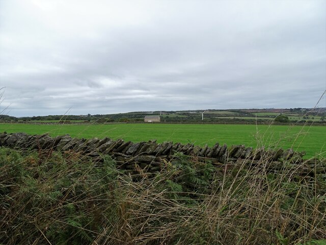
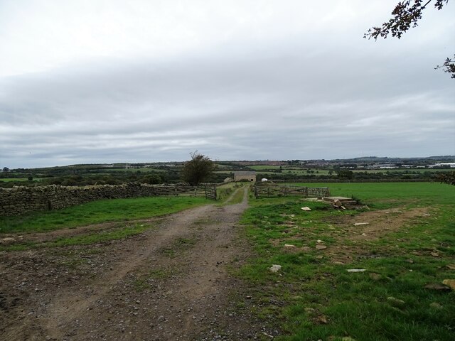
The parish is nestled in the beautiful landscape of the North Pennines Area of Outstanding Natural Beauty, offering residents and visitors stunning views of rolling hills and picturesque countryside. The area is predominantly agricultural, with farmland surrounding the village.

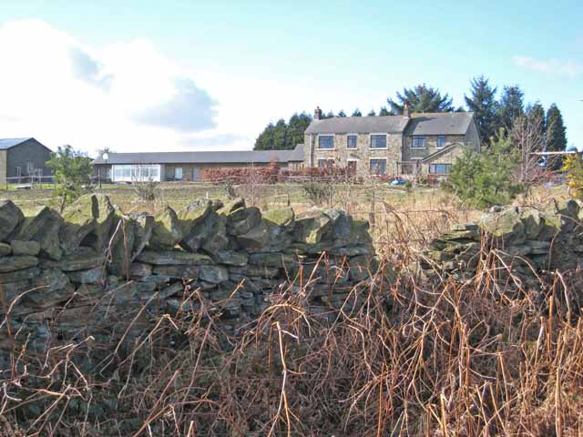
Healeyfield itself consists of a cluster of houses and cottages, forming a close-knit community. The village is centered around the Church of St. John the Evangelist, a charming 19th-century Anglican church that serves as a focal point for religious and community activities.

While Healeyfield is primarily a residential area, it benefits from its proximity to nearby towns and cities. Durham, with its rich history, cultural attractions, and amenities, is easily accessible for residents seeking employment, education, or leisure activities.

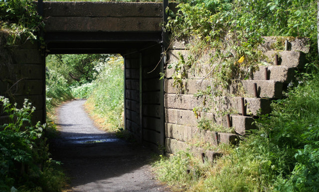
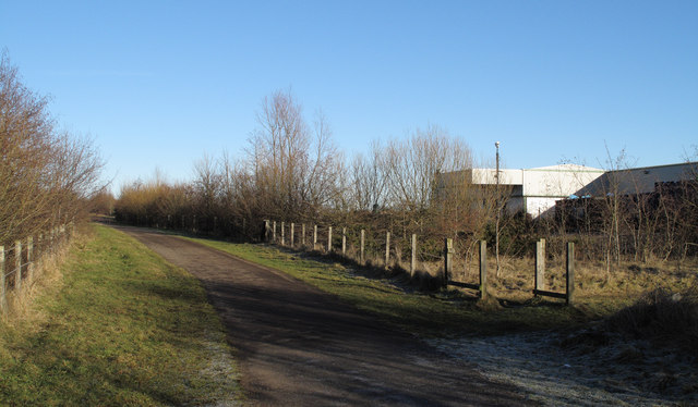
The parish also offers plenty of opportunities for outdoor pursuits, with numerous walking and cycling routes in the surrounding countryside. The nearby Derwent Reservoir provides opportunities for water sports and fishing, attracting enthusiasts from both near and far.

In summary, Healeyfield is a small and tranquil civil parish in Durham, offering residents a peaceful rural lifestyle, beautiful natural surroundings, and easy access to nearby amenities and attractions.

If you have any feedback on the listing, please let us know in the comments section below.
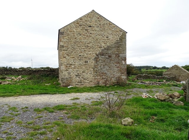
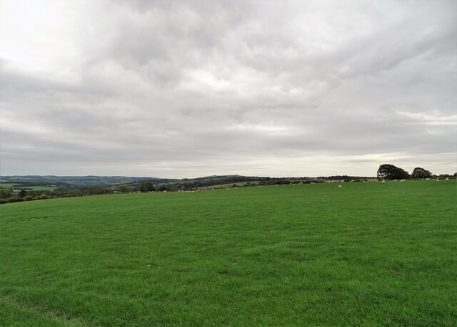
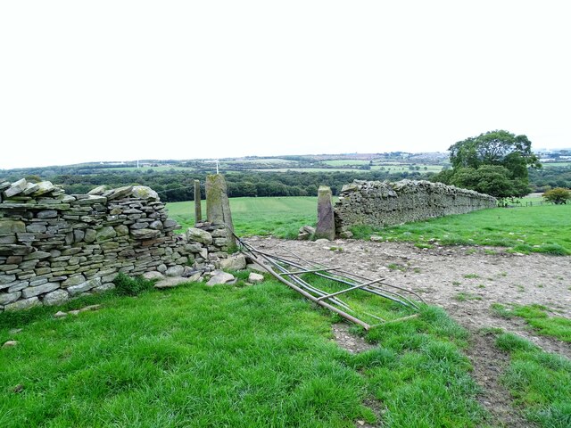
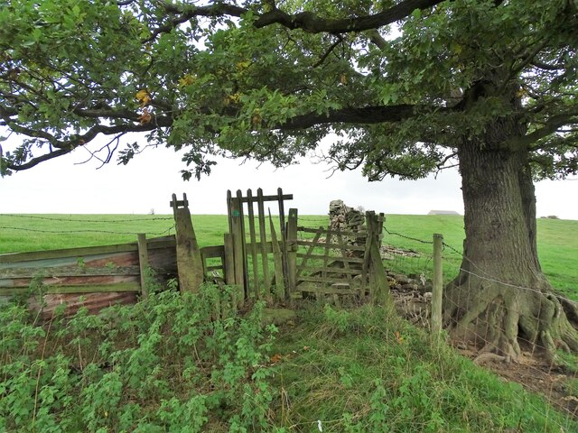
Healeyfield Images

Images are sourced within 2km of 54.826472/-1.860795 or Grid Reference NZ0947. Thanks to Geograph Open Source API. All images are credited.

Tidy work The wall here has been very nicely rebuilt in recent times.
Tidy work
The wall here has been very nicely rebuilt in recent times.
Chapel View Green Burial Services It is not entirely clear what this premises is. There appears to be a chapel-of-rest under construction or reconstruction. The plot is either a country cemetery or the base from which green burials are carried out at other sites.
Chapel View Green Burial Services
It is not entirely clear what this premises is. There appears to be a chapel-of-rest under construction or reconstruction. The plot is either a country cemetery or the base from which green burials are carried out at other sites.
Muddy gateway Miller's Hill Lane, Rowley.
Muddy gateway
Miller's Hill Lane, Rowley.
Footpath off Longedge Lane Consett town <a href="https://www.geograph.org.uk/gridref/NZ1050">NZ1050</a> can just be seen on the horizon.
Footpath off Longedge Lane
Consett town NZ1050 can just be seen on the horizon.
Pondfield Villa on Miller's Hill Lane, Rowley Viewed from Longedge Lane.
Pondfield Villa on Miller's Hill Lane, Rowley
Viewed from Longedge Lane.
Bridge A bridge over the cycleway that runs along the trackbed of the old railway line.
Bridge
A bridge over the cycleway that runs along the trackbed of the old railway line.
Consett & Sunderland Railway Path The Consett and Sunderland Railway Path is seen north-east of Lydgetts Junction. The factory in view is the premises of International Cuisine which prepares ready meals for a number of supermarkets.
Consett & Sunderland Railway Path
The Consett and Sunderland Railway Path is seen north-east of Lydgetts Junction. The factory in view is the premises of International Cuisine which prepares ready meals for a number of supermarkets.
Scrub woodland beside the railway path On the north side of the Lanchester Valley Railway Walk near Lydgett's Junction.
Scrub woodland beside the railway path
On the north side of the Lanchester Valley Railway Walk near Lydgett's Junction.
Primroses beside the railway path Spring flowers beside the Lanchester Railway Path.
Primroses beside the railway path
Spring flowers beside the Lanchester Railway Path.
Autumn view down Outputs Lane Looking east down this country lane south of Consett. I believe the name dates from the late 18th century enclosure of Lanchester Common, of which this was part.
Autumn view down Outputs Lane
Looking east down this country lane south of Consett. I believe the name dates from the late 18th century enclosure of Lanchester Common, of which this was part.
View over the gate on Outputs Lane Grazing pastures south of the lane. This is called Outputs Allotments on the map, and that will refer to the 1773 Lanchester Commons Enclosure Act.
View over the gate on Outputs Lane
Grazing pastures south of the lane. This is called Outputs Allotments on the map, and that will refer to the 1773 Lanchester Commons Enclosure Act.
Herd of beef cattle These look to be Aberdeen Angus, a common beef breed. Most of the land here, on Outputs Allotments, is used for cattle and sheep rearing.
Herd of beef cattle
These look to be Aberdeen Angus, a common beef breed. Most of the land here, on Outputs Allotments, is used for cattle and sheep rearing.
Fields to the north of Outputs Lane Looking north across the farmland. The building in the distance is the old ruined farmstead of High House, which is now being rebuilt, probably as a residential property.
Fields to the north of Outputs Lane
Looking north across the farmland. The building in the distance is the old ruined farmstead of High House, which is now being rebuilt, probably as a residential property.
Track down to High House View down the farm track to the old farmstead at High House, which now appears to be undergoing a rebuild. The exposed site here gives great views over the countryside.
Track down to High House
View down the farm track to the old farmstead at High House, which now appears to be undergoing a rebuild. The exposed site here gives great views over the countryside.
Rebuilt farmhouse at High House After being in a ruined state for many years, this old farmhouse has been rebuilt. It is very clear that the new wall incorporates an original section, at the lower right.
Rebuilt farmhouse at High House
After being in a ruined state for many years, this old farmhouse has been rebuilt. It is very clear that the new wall incorporates an original section, at the lower right.
Wide views from High House From the elevated position here, there are wide views to the east. Humber Hill near Lanchester is on the centre horizon.
Wide views from High House
From the elevated position here, there are wide views to the east. Humber Hill near Lanchester is on the centre horizon.
Gateway in the wall Beside the path leading down the fields from High House farm. Looking over to Consett in the distance. The stone gate posts probably date this wall to the enclosures in the late 18th century.
Gateway in the wall
Beside the path leading down the fields from High House farm. Looking over to Consett in the distance. The stone gate posts probably date this wall to the enclosures in the late 18th century.
Stile under the tree On the field path running down from High House Farm.
Stile under the tree
On the field path running down from High House Farm.
Show me another place!

Healeyfield is located at Grid Ref: NZ0947 (Lat: 54.826472, Lng: -1.860795)

Unitary Authority: County Durham

Police Authority: Durham

What 3 Words

///leathers.persuade.easy. Near Castleside, Co. Durham

Related Wikis

Rowley railway station (England)

Rowley railway station served the hamlet of Rowley and the village of Castleside in County Durham, England from 1845 to 1966 on the Derwent Railway....

Hownsgill Viaduct

The Hownsgill Viaduct (in some sources called Hownes Gill Viaduct and locally called the Gill bridge) is a former railway bridge located west of Consett...

Castleside

Castleside is a village in County Durham, England. It is situated a short distance to the south-west of Consett. Castleside is covered by the civil parish...

Consett Academy

Consett Academy is a secondary academy school in Consett, the result of a merger between Consett Community Sports College and Moorside Community Technology...

Nearby Amenities

Located within 500m of 54.826472,-1.860795
Bus Stop
Crossroads
Naptan AtcoCode: 13001821A
Naptan Bearing: N
Naptan CommonName: Crossroads
Naptan Indicator: north bound
Naptan Landmark: Landmark not known
Naptan NaptanCode: durajptj
Naptan Notes: north edge of church entrance- consett- dh8 9ab
Naptan Street: A68
Naptan Verified: no
Source: naptan_import
Lat/Long: 54.8263829/-1.8653581
Bus Stop
Crossroads
Naptan AtcoCode: 13001821E
Naptan Bearing: S
Naptan CommonName: Crossroads
Naptan Indicator: south bound
Naptan Landmark: Landmark not known
Naptan NaptanCode: durajptm
Naptan Notes: directly opposite north edge of church entrance- rowley- consett- dh8 9ab
Naptan Street: A68
Naptan Verified: no
Source: naptan_import
Lat/Long: 54.8263288/-1.8651871
Bus Stop
Lyar Dene
Naptan AtcoCode: 13001822A
Naptan Bearing: N
Naptan CommonName: Lyar Dene
Naptan Indicator: north bound
Naptan Landmark: Landmark not known
Naptan NaptanCode: durajptp
Naptan Notes: opposite telegraph pole 825 at northern edge of depot- near longedge lane- consett- dh8 9al
Naptan Street: A68
Naptan Verified: no
Source: naptan_import
Lat/Long: 54.8236939/-1.8636239
Bus Stop
Lyar Dene
Naptan AtcoCode: 13001822F
Naptan Bearing: S
Naptan CommonName: Lyar Dene
Naptan Indicator: south bound
Naptan Landmark: Landmark not known
Naptan NaptanCode: durajptw
Naptan Notes: telegraphpole no. 825 at north edge of depot entrance- rowley bank- consett- dh8 9al
Naptan Street: A68
Naptan Verified: no
Source: naptan_import
Lat/Long: 54.8238376/-1.8634989
Rowley
Historic Railway: station
Railway: site
Wikidata: Q30621619
Wikipedia: en:Rowley railway station (England)
Lat/Long: 54.8257106/-1.8658702
Rowley
Place: hamlet
Lat/Long: 54.8291385/-1.8669107
Lyar Dene Farm
Addr City: Consett
Addr Postcode: DH8 9AH
Place: farm
Source Name: OS OpenData StreetView
Source Postcode: CodePoint Open
Lat/Long: 54.8242589/-1.8603909
Location Transition: yes
Power: pole
Lat/Long: 54.8271498/-1.8542996
Power: pole
Lat/Long: 54.8278497/-1.8547556
Power: pole
Lat/Long: 54.8286423/-1.8552652
Power: pole
Switch: mechanical
Lat/Long: 54.8292804/-1.855697
Power: pole
Lat/Long: 54.8296226/-1.8559143
Generator Method: wind_turbine
Generator Source: wind
Power: generator
Lat/Long: 54.8263819/-1.8535298
Power: pole
Lat/Long: 54.829499/-1.8565138
Power: pole
Lat/Long: 54.8296157/-1.8575129
Power: pole
Lat/Long: 54.8297563/-1.8586662
Power: pole
Lat/Long: 54.8299015/-1.8599483
Power: pole
Lat/Long: 54.8301657/-1.8611768
Power: pole
Lat/Long: 54.8304392/-1.8624374
Power: pole
Lat/Long: 54.824221/-1.8642895
Power: pole
Lat/Long: 54.8242009/-1.8657084
Power: pole
Lat/Long: 54.8241809/-1.8672346
Bench
Backrest: yes
Image: https://www.geograph.org.uk/photo/1505567
Leisure: picnic_table
Lat/Long: 54.8251752/-1.8671259
Leisure: picnic_table
Lat/Long: 54.8251605/-1.8668778
Leisure: picnic_table
Lat/Long: 54.8250608/-1.8672735
Rowley Stone Cottages
Addr City: Consett
Addr Postcode: DH8 9AQ
Tourism: chalet
Website: https://rowleystonecottages.com/
Lat/Long: 54.8264522/-1.8657272
Noexit: yes
Lat/Long: 54.8235481/-1.8639515
Power: pole
Lat/Long: 54.8295662/-1.8558794
The data included in this document is from www.openstreetmap.org. The data is made available under ODbL.

Have you been to Healeyfield?

Leave your review of Healeyfield below (or comments, questions and feedback).