China Wood

Wood, Forest in Durham

England

China Wood

Tidy work The wall here has been very nicely rebuilt in recent times.
Tidy work Credit: David Collins

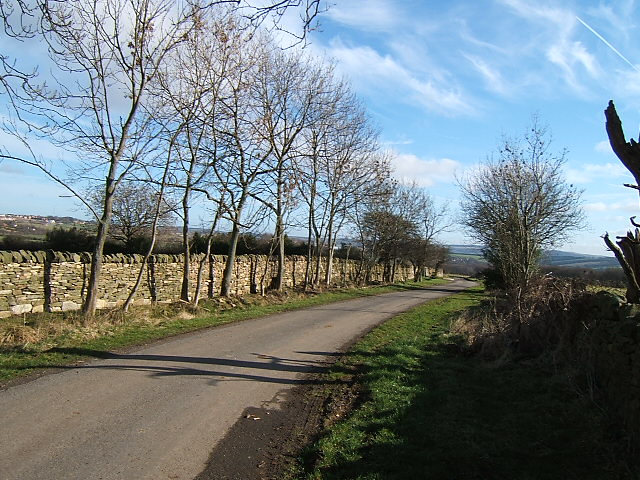
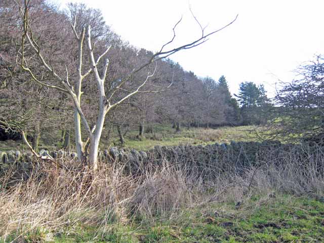
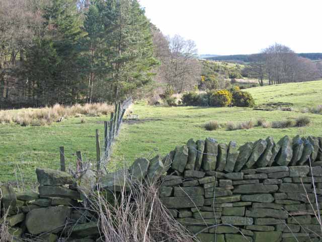
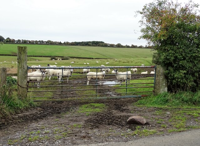
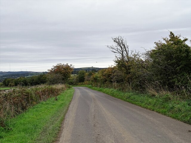
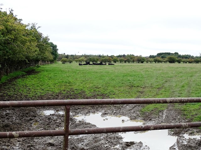
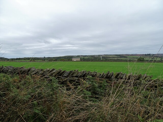
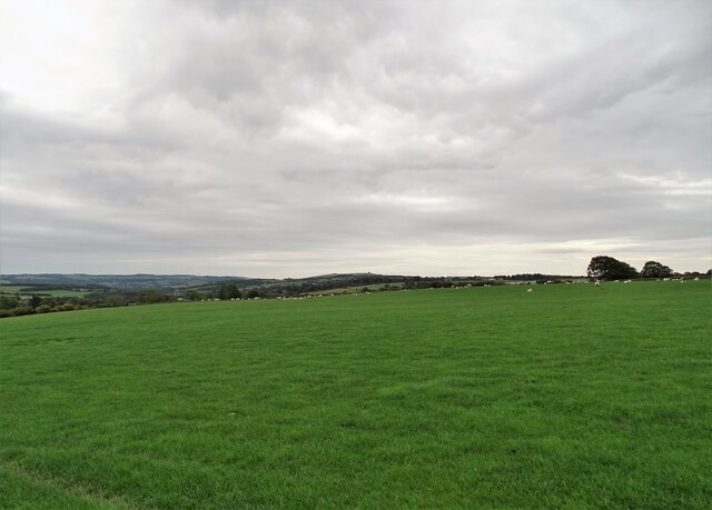
China Wood, located in Durham, is a sprawling forest that spans an area of approximately 30 hectares. It is a popular destination for nature enthusiasts, hikers, and those seeking tranquility away from the hustle and bustle of city life. The forest is characterized by its dense woodland, towering trees, and diverse flora and fauna.

China Wood is home to a variety of tree species, including oak, beech, birch, and pine, which form a dense canopy that provides shade and shelter to the forest floor. The forest is also dotted with small streams that meander through the trees, adding to its picturesque appeal.

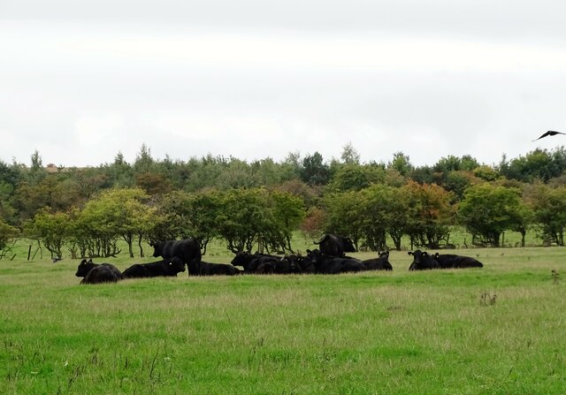
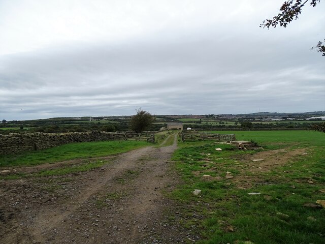
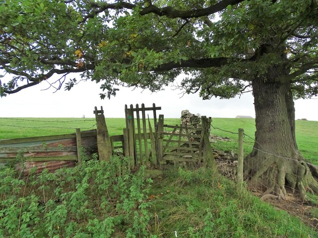
Visitors to China Wood can enjoy a range of activities, such as hiking along the well-maintained trails that crisscross the forest. These trails offer breathtaking views of the surrounding landscape and provide opportunities for birdwatching and wildlife spotting. The forest is inhabited by a diverse array of animals, including deer, foxes, rabbits, and numerous bird species.

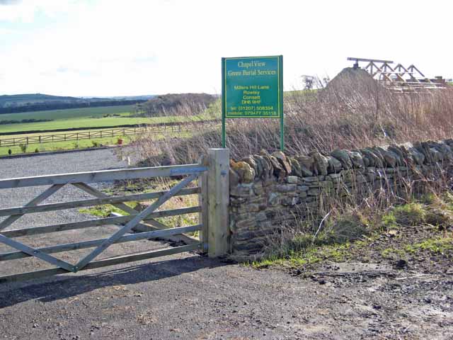
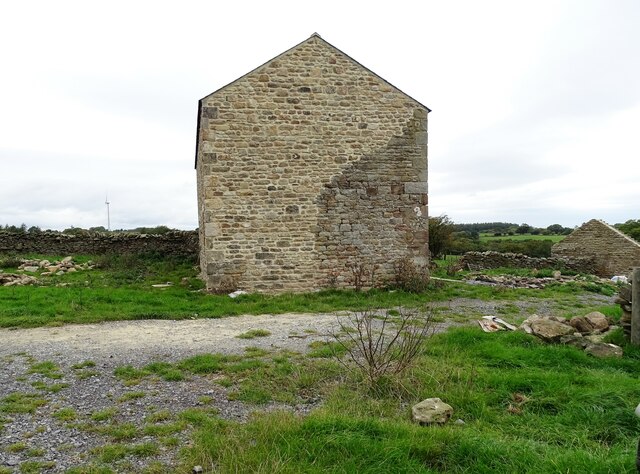
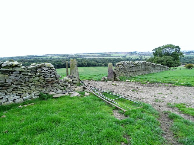
China Wood is also of historical significance, as it was once part of a larger estate that belonged to a wealthy landowner. Remnants of the estate, including an old stone wall and a gatehouse, can still be seen within the forest, adding an element of intrigue and nostalgia to the experience.

Overall, China Wood in Durham is a haven of natural beauty, offering visitors a chance to immerse themselves in a serene and idyllic environment while exploring its rich biodiversity and historical charm.

If you have any feedback on the listing, please let us know in the comments section below.
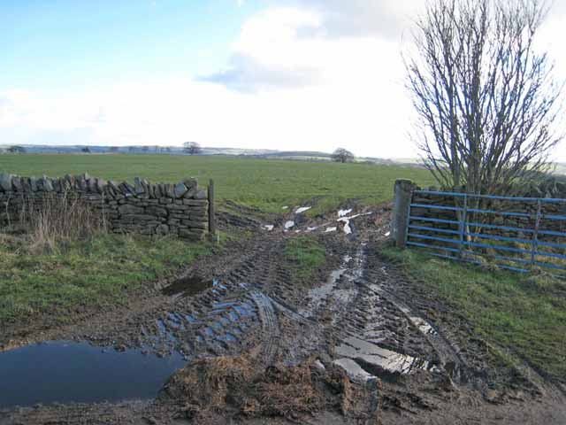
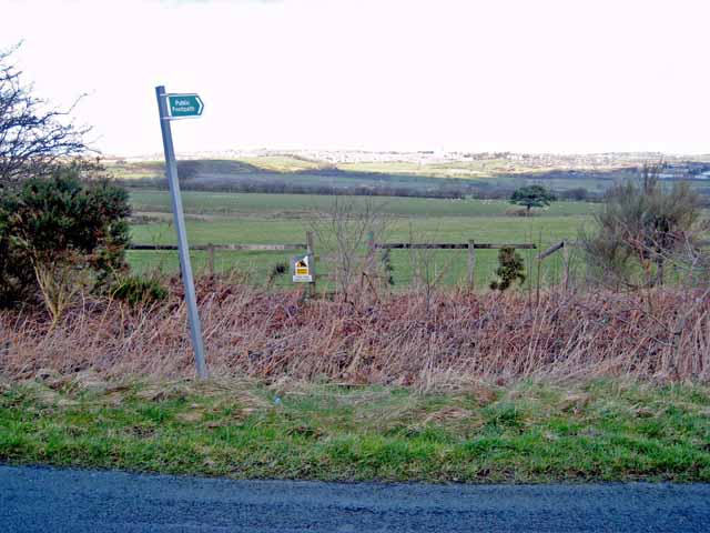
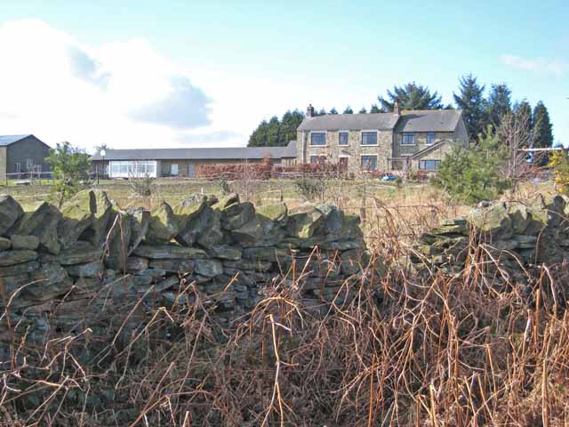
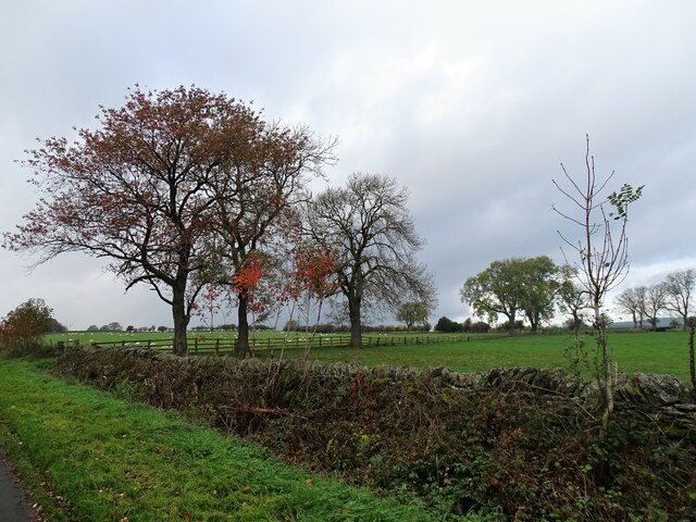
China Wood Images

Images are sourced within 2km of 54.819151/-1.8559706 or Grid Reference NZ0947. Thanks to Geograph Open Source API. All images are credited.

Tidy work The wall here has been very nicely rebuilt in recent times.
Tidy work
The wall here has been very nicely rebuilt in recent times.
Valley at the head of the Rippon Burn Next to Broadmeadows.
Valley at the head of the Rippon Burn
Next to Broadmeadows.
Valley at the head of the Rippon Burn Next to Broadmeadows.
Valley at the head of the Rippon Burn
Next to Broadmeadows.
Chapel View Green Burial Services It is not entirely clear what this premises is. There appears to be a chapel-of-rest under construction or reconstruction. The plot is either a country cemetery or the base from which green burials are carried out at other sites.
Chapel View Green Burial Services
It is not entirely clear what this premises is. There appears to be a chapel-of-rest under construction or reconstruction. The plot is either a country cemetery or the base from which green burials are carried out at other sites.
Muddy gateway Miller's Hill Lane, Rowley.
Muddy gateway
Miller's Hill Lane, Rowley.
Footpath off Longedge Lane Consett town <a href="https://www.geograph.org.uk/gridref/NZ1050">NZ1050</a> can just be seen on the horizon.
Footpath off Longedge Lane
Consett town NZ1050 can just be seen on the horizon.
Pondfield Villa on Miller's Hill Lane, Rowley Viewed from Longedge Lane.
Pondfield Villa on Miller's Hill Lane, Rowley
Viewed from Longedge Lane.
Autumn field trees On the north side of Outputs Lane.
Autumn field trees
On the north side of Outputs Lane.
Sheep through the gateway Sheep grazing beside Outputs Lane. Mainly pastoral farming in this area, with sheep and beef cattle.
Sheep through the gateway
Sheep grazing beside Outputs Lane. Mainly pastoral farming in this area, with sheep and beef cattle.
Autumn view down Outputs Lane Looking east down this country lane south of Consett. I believe the name dates from the late 18th century enclosure of Lanchester Common, of which this was part.
Autumn view down Outputs Lane
Looking east down this country lane south of Consett. I believe the name dates from the late 18th century enclosure of Lanchester Common, of which this was part.
View over the gate on Outputs Lane Grazing pastures south of the lane. This is called Outputs Allotments on the map, and that will refer to the 1773 Lanchester Commons Enclosure Act.
View over the gate on Outputs Lane
Grazing pastures south of the lane. This is called Outputs Allotments on the map, and that will refer to the 1773 Lanchester Commons Enclosure Act.
Herd of beef cattle These look to be Aberdeen Angus, a common beef breed. Most of the land here, on Outputs Allotments, is used for cattle and sheep rearing.
Herd of beef cattle
These look to be Aberdeen Angus, a common beef breed. Most of the land here, on Outputs Allotments, is used for cattle and sheep rearing.
Fields to the north of Outputs Lane Looking north across the farmland. The building in the distance is the old ruined farmstead of High House, which is now being rebuilt, probably as a residential property.
Fields to the north of Outputs Lane
Looking north across the farmland. The building in the distance is the old ruined farmstead of High House, which is now being rebuilt, probably as a residential property.
Track down to High House View down the farm track to the old farmstead at High House, which now appears to be undergoing a rebuild. The exposed site here gives great views over the countryside.
Track down to High House
View down the farm track to the old farmstead at High House, which now appears to be undergoing a rebuild. The exposed site here gives great views over the countryside.
Rebuilt farmhouse at High House After being in a ruined state for many years, this old farmhouse has been rebuilt. It is very clear that the new wall incorporates an original section, at the lower right.
Rebuilt farmhouse at High House
After being in a ruined state for many years, this old farmhouse has been rebuilt. It is very clear that the new wall incorporates an original section, at the lower right.
Wide views from High House From the elevated position here, there are wide views to the east. Humber Hill near Lanchester is on the centre horizon.
Wide views from High House
From the elevated position here, there are wide views to the east. Humber Hill near Lanchester is on the centre horizon.
Gateway in the wall Beside the path leading down the fields from High House farm. Looking over to Consett in the distance. The stone gate posts probably date this wall to the enclosures in the late 18th century.
Gateway in the wall
Beside the path leading down the fields from High House farm. Looking over to Consett in the distance. The stone gate posts probably date this wall to the enclosures in the late 18th century.
Stile under the tree On the field path running down from High House Farm.
Stile under the tree
On the field path running down from High House Farm.
Show me another place!

China Wood is located at Grid Ref: NZ0947 (Lat: 54.819151, Lng: -1.8559706)

Unitary Authority: County Durham

Police Authority: Durham

What 3 Words

///takeovers.outgoing.query. Near Castleside, Co. Durham

Related Wikis

Rowley railway station (England)

Rowley railway station served the hamlet of Rowley and the village of Castleside in County Durham, England from 1845 to 1966 on the Derwent Railway....

Murder of Harry Collinson

The murder of Harry Collinson, the planning officer for Derwentside District Council, occurred on 20 June 1991 at Butsfield, County Durham, England. At...

Hownsgill Viaduct

The Hownsgill Viaduct (in some sources called Hownes Gill Viaduct and locally called the Gill bridge) is a former railway bridge located west of Consett...

Castleside

Castleside is a village in County Durham, England. It is situated a short distance to the south-west of Consett. Castleside is covered by the civil parish...

Nearby Amenities

Located within 500m of 54.819151,-1.8559706
Bus Stop
Oliver Ford
Naptan AtcoCode: 13001829C
Naptan Bearing: E
Naptan CommonName: Oliver Ford
Naptan Indicator: east bound
Naptan Landmark: Landmark not known
Naptan NaptanCode: durajtat
Naptan Notes: east edge of rinistley lane entrance- longedge lane- consett- dh8 9hg
Naptan Street: Longedge lane
Naptan Verified: no
Source: naptan_import
Lat/Long: 54.8216497/-1.8523004
Bus Stop
Oliver Ford
Naptan AtcoCode: 13001829G
Naptan Bearing: W
Naptan CommonName: Oliver Ford
Naptan Indicator: west bound
Naptan Landmark: Landmark not known
Naptan NaptanCode: durajtda
Naptan Notes: opposite east edge of rinistley lane- longedge lane- consett- dh8 9hg
Naptan Street: Longedge Lane
Naptan Verified: no
Source: naptan_import
Lat/Long: 54.8215597/-1.8521606
China Hall Farm
Place: farm
Source Name: OS OpenData StreetView
Lat/Long: 54.81571/-1.8517757
Power: pole
Lat/Long: 54.8201933/-1.8534306
Power: pole
Lat/Long: 54.8197204/-1.8538865
Power: pole
Lat/Long: 54.8190745/-1.8545008
Power: pole
Lat/Long: 54.8184594/-1.8551016
Fixme: Confirm exact location
Mapillary: 160071396695717
Marker: post
Utility: gas
Lat/Long: 54.8190443/-1.8630007
Power: pole
Lat/Long: 54.8206399/-1.8528901
Power: pole
Lat/Long: 54.8204498/-1.8510059
Power: pole
Lat/Long: 54.8202613/-1.8490908
Power: pole
Lat/Long: 54.8205557/-1.8544149
Power: pole
Lat/Long: 54.8209103/-1.8553805
The data included in this document is from www.openstreetmap.org. The data is made available under ODbL.

Have you been to China Wood?

Leave your review of China Wood below (or comments, questions and feedback).