Riding Low Wood

Wood, Forest in Northumberland

England

Riding Low Wood

Road over Labourn's Fell
Road over Labourn's Fell Credit: Richard Webb

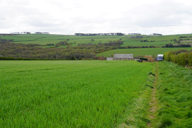
Riding Low Wood is a picturesque woodland located in the county of Northumberland, England. Spanning an area of approximately 500 acres, it is known for its natural beauty and tranquil atmosphere. The wood is situated in close proximity to the village of Riding Low, adding to its accessibility and charm.

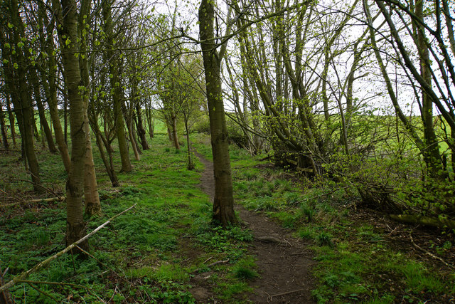
The woodland is predominantly made up of native tree species such as oak, ash, and birch. These trees create a dense canopy that provides shade and shelter for a diverse range of flora and fauna. Carpeted with bluebells and wildflowers during the spring months, Riding Low Wood offers a stunning display of colors and scents.

The wood is crisscrossed with a network of well-maintained footpaths, making it a popular destination for walkers, hikers, and nature enthusiasts. These trails meander through the forest, allowing visitors to explore its hidden corners and discover its hidden gems. Along the way, one can expect to encounter a variety of wildlife, including squirrels, deer, and a myriad of bird species.

Riding Low Wood also boasts a rich history, with evidence of human habitation dating back thousands of years. Archaeological findings suggest that the wood was once used for hunting and gathering by early settlers. Today, it serves as a peaceful retreat for those seeking solace in nature.

Overall, Riding Low Wood is a haven of tranquility and natural beauty. Its enchanting woodland trails, diverse wildlife, and rich history make it a must-visit destination for anyone looking to immerse themselves in the wonders of Northumberland's countryside.

If you have any feedback on the listing, please let us know in the comments section below.

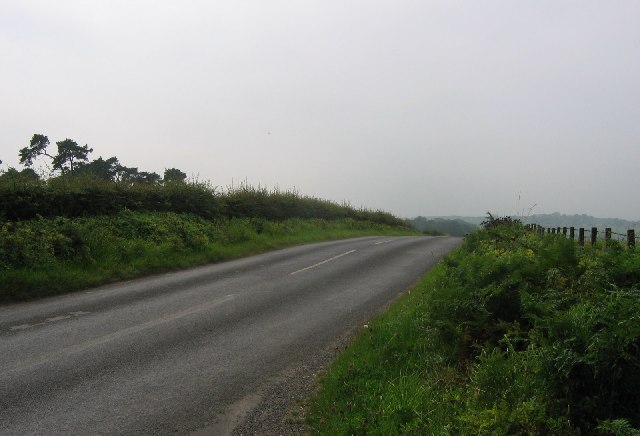
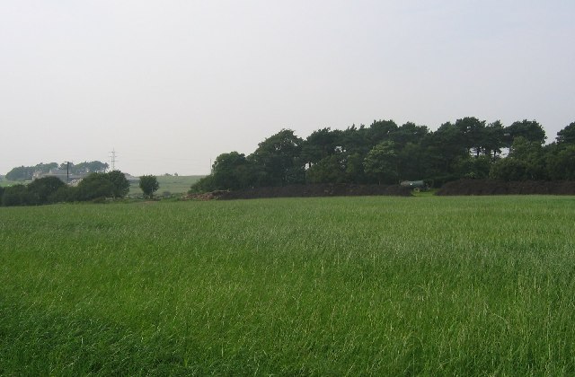
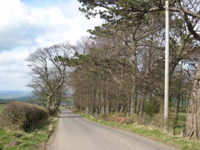
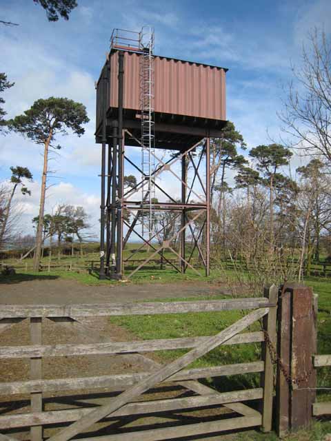
Riding Low Wood Images

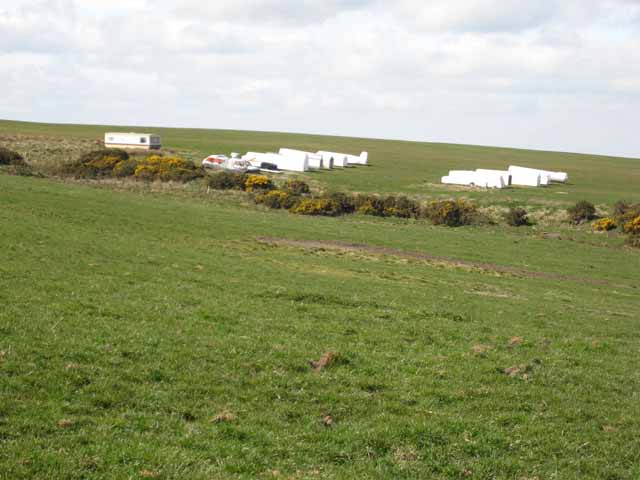
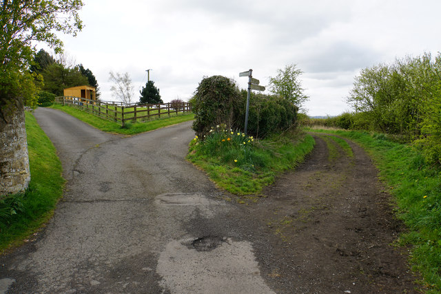
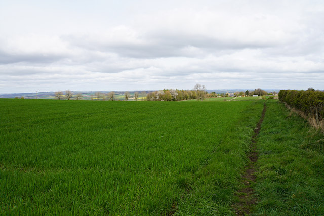
Images are sourced within 2km of 54.942829/-1.8555297 or Grid Reference NZ0960. Thanks to Geograph Open Source API. All images are credited.

Road over Labourn's Fell
Turkey Muck, Labourn's Fell By product of industrial poultry raising being used as fertiliser. There is a danger however of heavy metal contamination, I have experienced problems with copper.
Turkey Muck, Labourn's Fell
By product of industrial poultry raising being used as fertiliser. There is a danger however of heavy metal contamination, I have experienced problems with copper.
Tree-lined lane near Hedley on the Hill North of Airey Hill Farm.
Tree-lined lane near Hedley on the Hill
North of Airey Hill Farm.
Water tower on Currock Hill At 250 metres, the highest point on the ridge separating the Derwent valley from Tynedale.
Water tower on Currock Hill
At 250 metres, the highest point on the ridge separating the Derwent valley from Tynedale.
Northumbria Gliding Club Situated high on the ridge between the Derwent valley and Tynedale. <span class="nowrap"><a title="https://www.northumbriagliding.co.uk/" rel="nofollow ugc noopener" href="https://www.northumbriagliding.co.uk/">Link</a><img style="margin-left:2px;" alt="External link" title="External link - shift click to open in new window" src="https://s1.geograph.org.uk/img/external.png" width="10" height="10"/></span>
Northumbria Gliding Club
Situated high on the ridge between the Derwent valley and Tynedale. LinkExternal link
End of  the Runway View of a Rainbow near the end of the Gliding club runway at Currock Hill during flight operations, hence the mobile control tower.
End of the Runway
View of a Rainbow near the end of the Gliding club runway at Currock Hill during flight operations, hence the mobile control tower.
View from Moss Plantation
Footpath through Moss Plantation.
Junction to Airey Hill east of Hedley on the Hill
Farmland and Hedley Park Farm in Winter
Looking west to Hedley on the Hill from the T-junction
Field with hedge east of  Crossbanks Plantation This otherwise undistinguished location is the 'County Top' of the ex-metropolitan county of Tyne and Wear.
Field with hedge east of Crossbanks Plantation
This otherwise undistinguished location is the 'County Top' of the ex-metropolitan county of Tyne and Wear.
Agricultural goings-on at Mickley Moor Farm What is happening here?
Agricultural goings-on at Mickley Moor Farm
What is happening here?
A choice of routes Several tracks and paths leaving High Mickley.
A choice of routes
Several tracks and paths leaving High Mickley.
Footpath near High Mickley The path runs parallel to Ward Lane which is to the right, and is currently much more pleasant walking.
Footpath near High Mickley
The path runs parallel to Ward Lane which is to the right, and is currently much more pleasant walking.
Bridleway on Broom Hill Heading towards High Mickley which can be seen ahead. The Tyne valley opens out beyond.
Bridleway on Broom Hill
Heading towards High Mickley which can be seen ahead. The Tyne valley opens out beyond.
Bridleway approaching Mickley Moor West Farm
Show me another place!

Riding Low Wood is located at Grid Ref: NZ0960 (Lat: 54.942829, Lng: -1.8555297)

Unitary Authority: Northumberland

Police Authority: Northumbria

What 3 Words

///juggle.noun.soonest. Near Prudhoe, Northumberland

Related Wikis

Mickley, Northumberland

Mickley is a cluster of villages in the civil parish of Prudhoe in Northumberland, England. It lies south of the River Tyne and is accessible via the A695...

Prudhoe Community High School

Prudhoe Community High School is a coeducational high school and sixth form located in Prudhoe, Northumberland, England. Situated on Moor Road, Prudhoe...

A695 road

A695 road is a road in Northern England linking Newcastle upon Tyne, Tyne and Wear, with Hexham, Northumberland. == Motorway == It was part of the proposed...

Prudhoe

Prudhoe ( PRUD-ə) is a town in the south of Northumberland, England. It is 11 miles (18 km) west of Newcastle upon Tyne and just south of the River Tyne...

Nearby Amenities

Located within 500m of 54.942829,-1.8555297
Noexit: yes
Lat/Long: 54.9453722/-1.8504117
The data included in this document is from www.openstreetmap.org. The data is made available under ODbL.

Have you been to Riding Low Wood?

Leave your review of Riding Low Wood below (or comments, questions and feedback).