The Downs Brake
Wood, Forest in Gloucestershire Cotswold
England
The Downs Brake

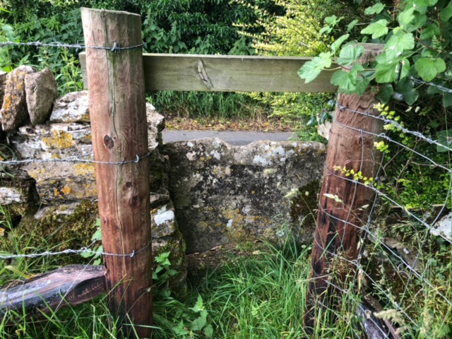
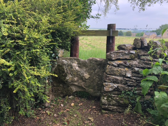
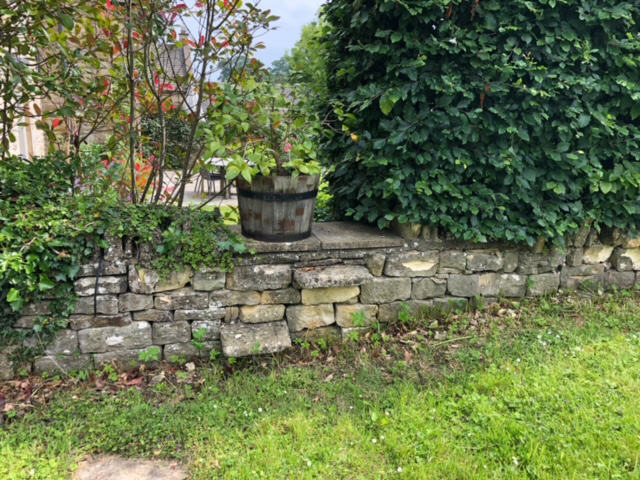
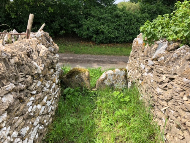
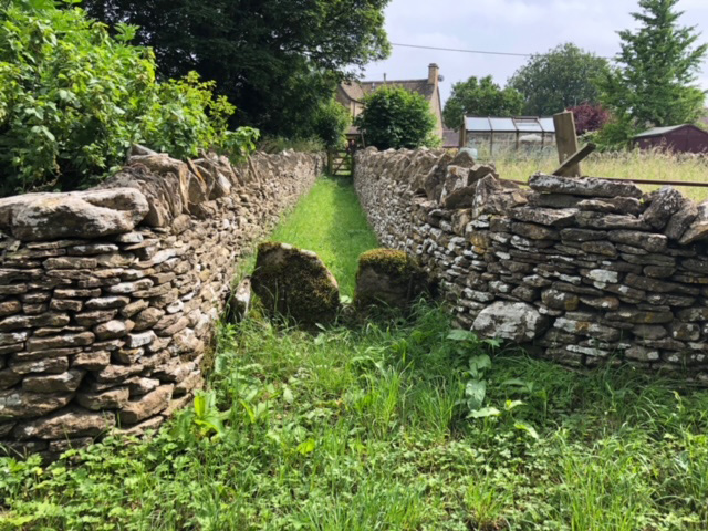
The Downs Brake is a small woodland located in Gloucestershire, England. Situated in the heart of the Forest of Dean, it covers an area of approximately 4 acres. The woodland is known for its diverse range of tree species, including oak, beech, and birch, which create a dense and vibrant canopy.
The Downs Brake is a popular destination for nature enthusiasts and walkers, offering a tranquil and picturesque setting. The woodland is crisscrossed by a network of footpaths, allowing visitors to explore its beauty at their own pace. These paths lead through a mixture of open glades, where sunlight filters through the trees, and more shaded areas, where moss and ferns thrive.
The woodland is also home to a variety of wildlife, providing a haven for many species. It is not uncommon to spot deer, squirrels, and a variety of bird species during a visit to the Downs Brake. Additionally, the woodland is known for its rich flora, with wildflowers and fungi adding bursts of color and interest throughout the seasons.
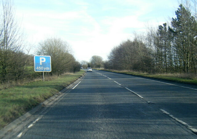
The Downs Brake is open to the public year-round and is easily accessible by both car and public transport. Visitors can enjoy a peaceful stroll through this enchanting woodland, immersing themselves in its natural beauty and the sense of tranquility it offers. Whether for a leisurely walk, birdwatching, or simply to escape the hustle and bustle of everyday life, the Downs Brake is a hidden gem in Gloucestershire's woodlands.
If you have any feedback on the listing, please let us know in the comments section below.
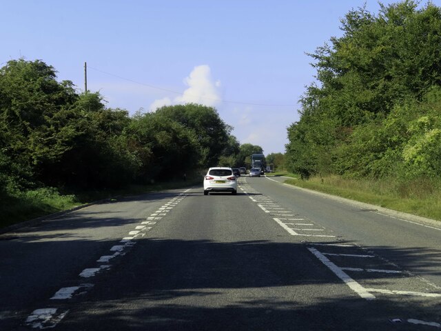
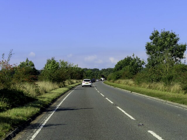
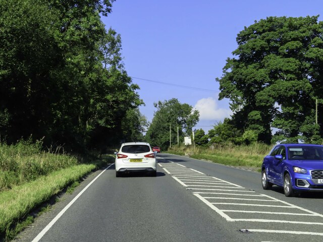
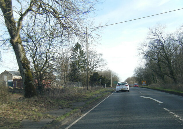
The Downs Brake Images
Images are sourced within 2km of 51.853909/-1.8656389 or Grid Reference SP0917. Thanks to Geograph Open Source API. All images are credited.


![A circular walk around Northleach [32] A view from the track with the village of Hampnett in the distance.
The route heads south from Northleach before heading west to Winterwell Barn and across the Fosse Way. The way is then north towards the picturesque village of Hampnett where the route turns east to run alongside the A40 road before a turn to the south to return to Northleach. Just over 4½ miles.](https://s3.geograph.org.uk/geophotos/07/34/22/7342279_822a26f0.jpg)
![A circular walk around Northleach [33] From the track, a bridleway ascends towards Hampnett House.
The route heads south from Northleach before heading west to Winterwell Barn and across the Fosse Way. The way is then north towards the picturesque village of Hampnett where the route turns east to run alongside the A40 road before a turn to the south to return to Northleach. Just over 4½ miles.](https://s1.geograph.org.uk/geophotos/07/34/22/7342281_9a049378.jpg)
The Downs Brake is located at Grid Ref: SP0917 (Lat: 51.853909, Lng: -1.8656389)
Administrative County: Gloucestershire
District: Cotswold
Police Authority: Gloucestershire
What 3 Words
///bleaker.describes.handlebar. Near Northleach, Gloucestershire
Nearby Locations
Related Wikis

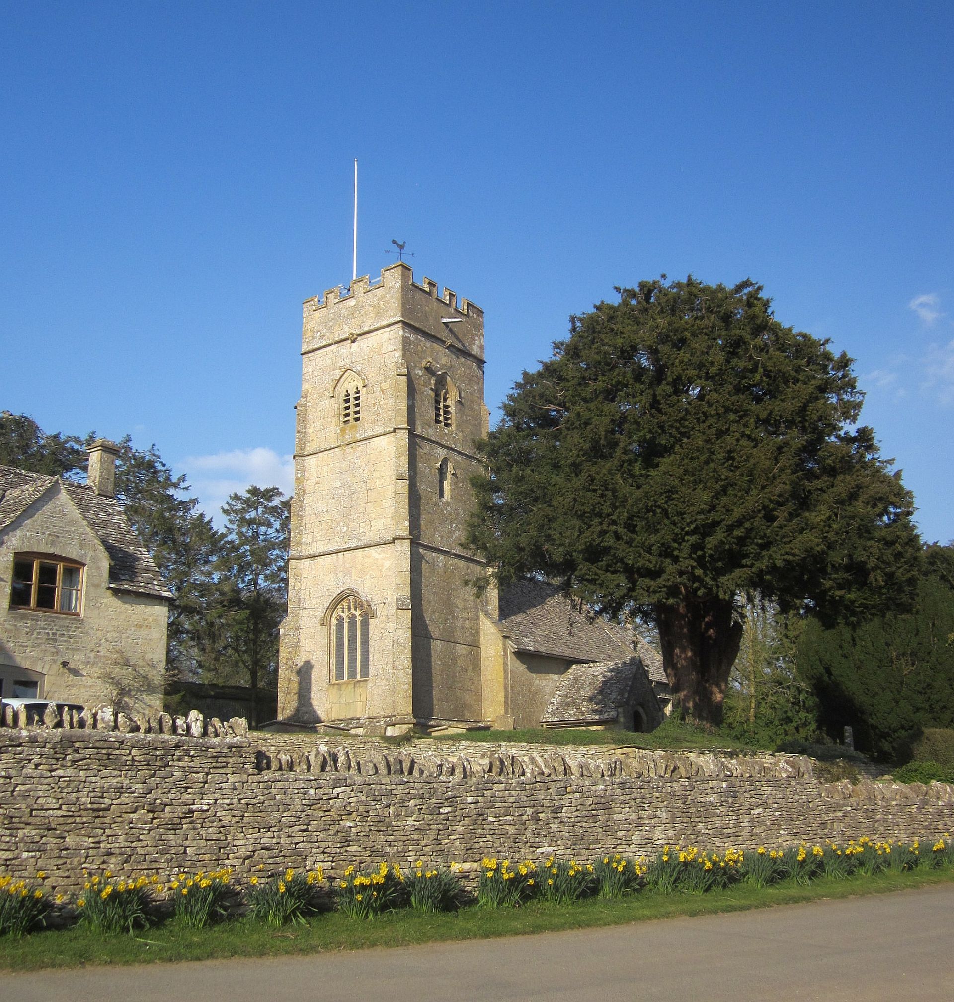
Church of All Saints, Turkdean
The Anglican Church of All Saints at Turkdean in the Cotswold District of Gloucestershire, England was built in the 12th century. It is a grade I listed...

Hazleton Abbey
Hazleton Abbey was an abbey at Hazleton in Gloucestershire, England. It was formed in the 12th century. Monks from Kingswood Abbey bought the land after...

Turkdean
Turkdean is a village and civil parish in Gloucestershire, England, approximately 30 km (19 mi) to the east of Gloucester. It lies in the Cotswolds, an...

Hazleton, Gloucestershire
Hazleton or Haselton is a village and civil parish in the Cotswold District of Gloucestershire, England. The population of the civil parish in the 2011...
Hampnett
Hampnett is a small village and civil parish in Gloucestershire, England, just west of the Fosse Way. It is situated west of the junction of the A40 and...
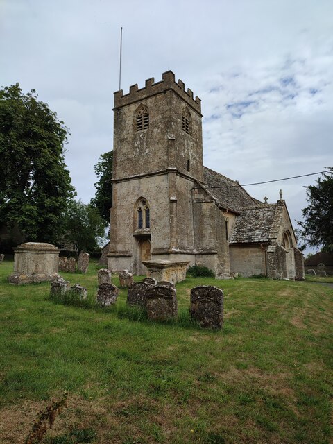
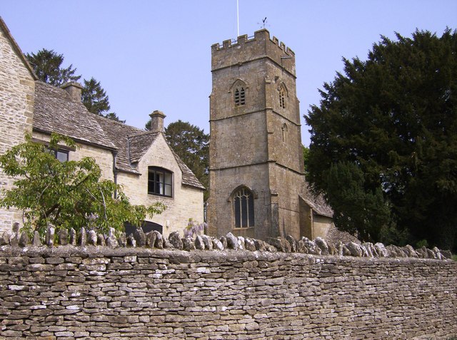
Church of St George, Hampnett
The Anglican Church of St George at Hampnett in the Cotswold District of Gloucestershire, England was built in 12th century. It is a grade I listed building...
RAF Northleach
Royal Air Force Northleach or more simply RAF Northleach is a former Royal Air Force satellite airfield near the Cotswold town of Northleach, Gloucestershire...
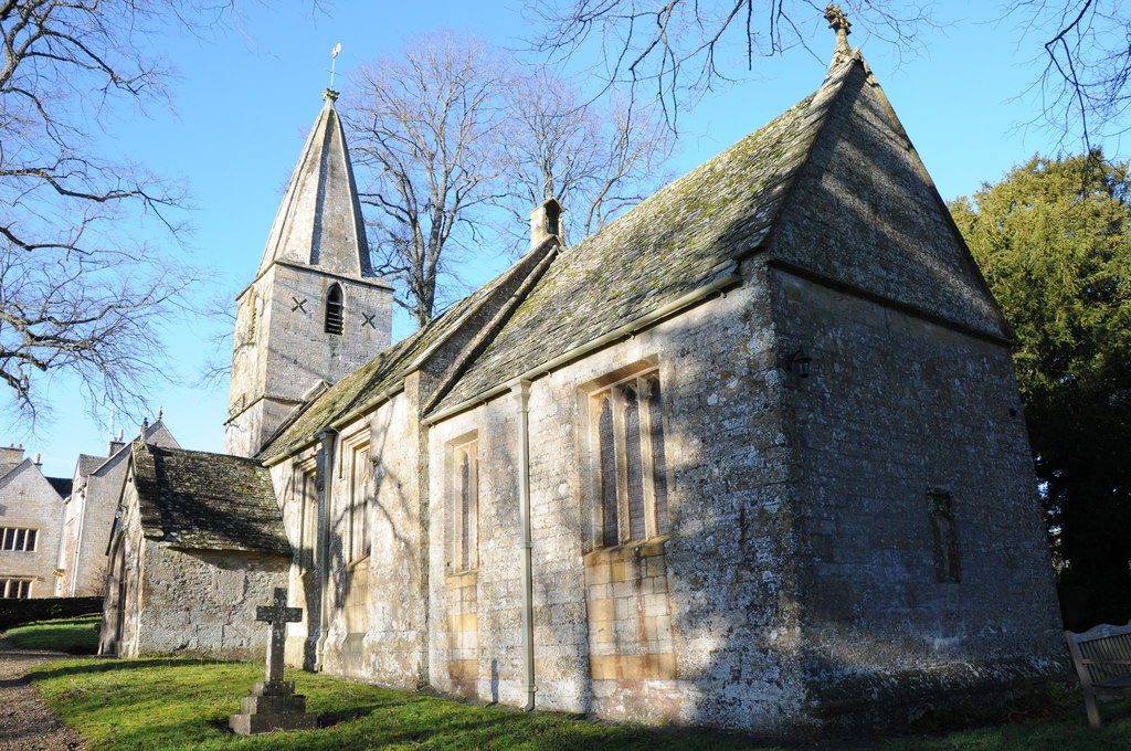
Church of St Bartholomew, Notgrove
The Anglican Church of St Bartholomew at Notgrove in the Cotswold District of Gloucestershire, England was built in the 12th century. It is a grade I listed...
Have you been to The Downs Brake?
Leave your review of The Downs Brake below (or comments, questions and feedback).