Nut Tree Brake

Wood, Forest in Gloucestershire Cotswold

England

Nut Tree Brake

The A40 heading west near Hampnett
The A40 heading west near Hampnett Credit: Steve Daniels

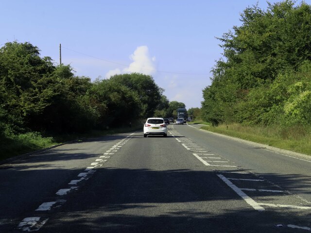
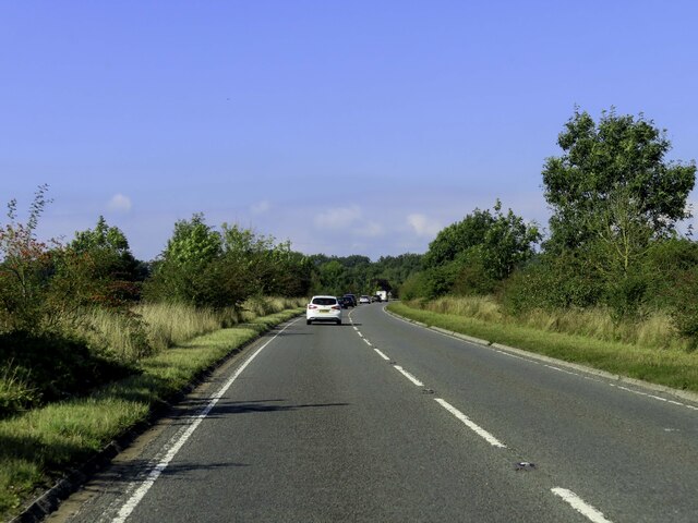
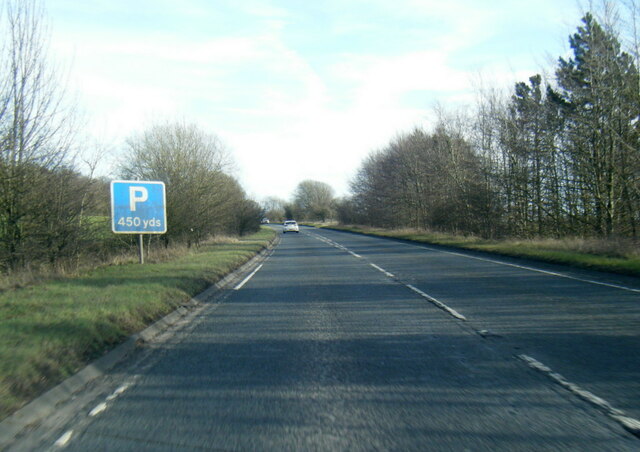
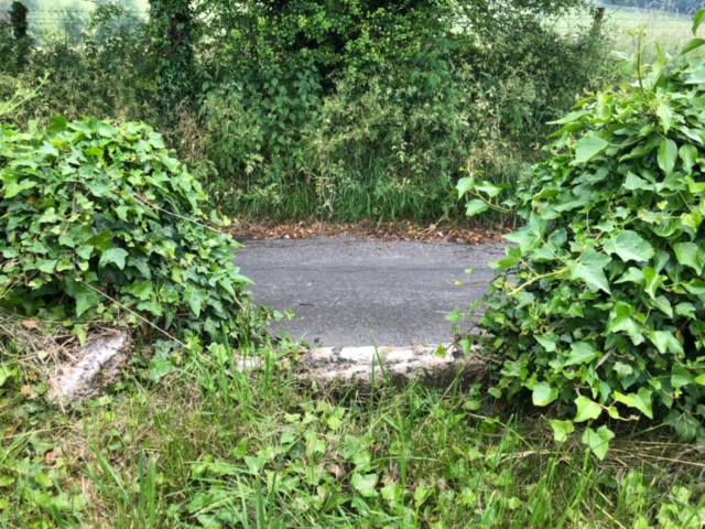
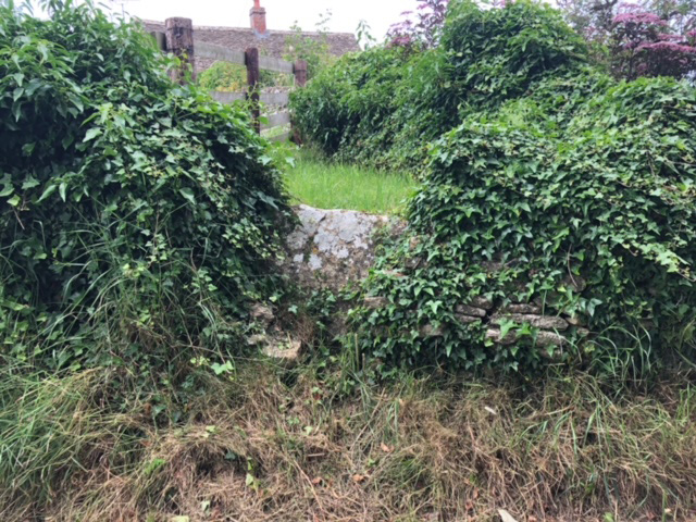
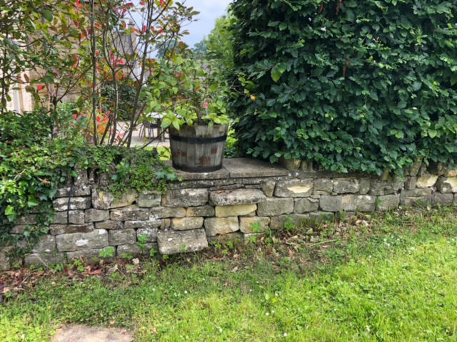
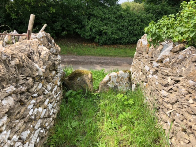
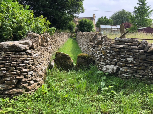
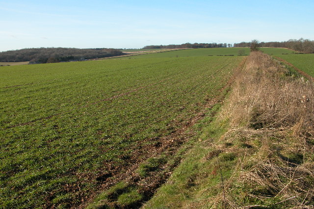
Nut Tree Brake is a picturesque woodland located in Gloucestershire, England. Situated in the heart of the county, this forested area covers an extensive area of approximately 100 acres. It is renowned for its stunning natural beauty and diverse range of flora and fauna.

The woodland is predominantly made up of deciduous trees, with oak, beech, and birch being the most common species. The dense canopy created by these trees provides a serene and tranquil atmosphere, making it a popular destination for nature enthusiasts and hikers.

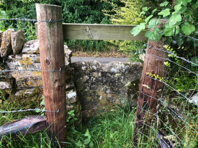
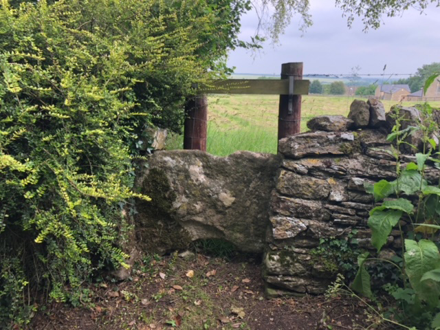
Within Nut Tree Brake, there are several well-marked trails that visitors can explore. These trails wind through the forest, allowing visitors to immerse themselves in the beauty of the surroundings. Along the way, one can encounter various wildlife, such as deer, squirrels, and a wide array of bird species.

The forest also boasts a rich biodiversity, with a diverse range of wildflowers, ferns, and mushrooms thriving in the damp and shaded areas. This makes Nut Tree Brake an excellent location for those interested in botany and mycology.

The woodland is well-maintained, with regular conservation efforts to preserve its natural integrity. It is managed by the local authorities, who ensure that the forest remains a safe and enjoyable environment for visitors.

Overall, Nut Tree Brake is a stunning woodland that offers a peaceful retreat from the hustle and bustle of everyday life. With its scenic trails, diverse wildlife, and vibrant plant life, it is a must-visit destination for nature lovers and those seeking a connection with the great outdoors.

If you have any feedback on the listing, please let us know in the comments section below.

Nut Tree Brake Images

Images are sourced within 2km of 51.858078/-1.8637824 or Grid Reference SP0917. Thanks to Geograph Open Source API. All images are credited.

The A40 heading west near Hampnett
A40 west of Hampnett
A40 near Hampnett
A40 near Hampnett
Hazleton Church
Hazleton Church
Stone Stile, Hazelton Private stile gated off in the field, this is looking looking North from the road, the view from the field is <a href="https://www.geograph.org.uk/photo/7315856">SP0817 : Stone Stile, Hazelton</a>.
Stone Stile, Hazelton
Private stile gated off in the field, this is looking looking North from the road, the view from the field is SP0817 : Stone Stile, Hazelton.
Stone Stile, Hazelton Private stile gated off in the field, this is looking from the field, the view looking North from the road is <a href="https://www.geograph.org.uk/photo/7315855">SP0817 : Stone Stile, Hazelton</a>.
Stone Stile, Hazelton
Private stile gated off in the field, this is looking from the field, the view looking North from the road is SP0817 : Stone Stile, Hazelton.
Stone Stile, Hazelton Private stile just South of Winterfold Cottage, looking West. The view East is <a href="https://www.geograph.org.uk/photo/7315880">SP0817 : Stone Stile, Hazelton</a>. The top wooden bar lifts off.
Stone Stile, Hazelton
Private stile just South of Winterfold Cottage, looking West. The view East is SP0817 : Stone Stile, Hazelton. The top wooden bar lifts off.
Stone Stile, Hazelton Private stile just South of Winterfold Cottage, looking East. The view West is <a href="https://www.geograph.org.uk/photo/7315879">SP0817 : Stone Stile, Hazelton</a>. The top wooden bar lifts off.
Stone Stile, Hazelton
Private stile just South of Winterfold Cottage, looking East. The view West is SP0817 : Stone Stile, Hazelton. The top wooden bar lifts off.
Stone Stile, Hazelton A simple step stile to a complex of dwellings, in a low wall between "the Chestnuts" and "Beeches Barn". Not a Public Right of Way.
Stone Stile, Hazelton
A simple step stile to a complex of dwellings, in a low wall between "the Chestnuts" and "Beeches Barn". Not a Public Right of Way.
Stone Stile, Hazelton Private footpath that goes to the rear of Nᴼ.1 Hazelton (et al). This view is looking out, the view to the houses is <a href="https://www.geograph.org.uk/photo/7316403">SP0717 : Stone Stile, Hazelton</a>.
Stone Stile, Hazelton
Private footpath that goes to the rear of Nᴼ.1 Hazelton (et al). This view is looking out, the view to the houses is SP0717 : Stone Stile, Hazelton.
Stone Stile, Hazelton Private footpath that goes to the rear of Nᴼ.1 Hazelton (et al). This view is to the houses, the view out is <a href="https://www.geograph.org.uk/photo/7316402">SP0717 : Stone Stile, Hazelton</a>.
Stone Stile, Hazelton
Private footpath that goes to the rear of Nᴼ.1 Hazelton (et al). This view is to the houses, the view out is SP0717 : Stone Stile, Hazelton.
Village Green at Hampnett
Hazleton (Glos) St Andrew's Church On a gloomy winter's day
Hazleton (Glos) St Andrew's Church
On a gloomy winter's day
The Diamond Way and Gloucestershire Way To the west of Notgrove the two long distance paths converge here for a short distance. In the valley bottom the Gloucestershire Way turns right.
The Diamond Way and Gloucestershire Way
To the west of Notgrove the two long distance paths converge here for a short distance. In the valley bottom the Gloucestershire Way turns right.
Hazleton Grove View west to Canon's Barn and Hazleton Grove (the woodland on the left).
Hazleton Grove
View west to Canon's Barn and Hazleton Grove (the woodland on the left).
Show me another place!

Nut Tree Brake is located at Grid Ref: SP0917 (Lat: 51.858078, Lng: -1.8637824)

Administrative County: Gloucestershire

District: Cotswold

Police Authority: Gloucestershire

What 3 Words

///milky.something.pushes. Near Westfield, Gloucestershire

Related Wikis

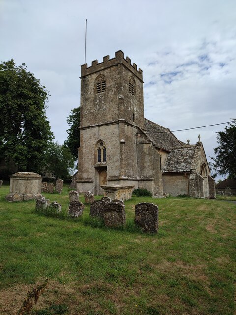
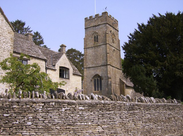
Church of All Saints, Turkdean

The Anglican Church of All Saints at Turkdean in the Cotswold District of Gloucestershire, England was built in the 12th century. It is a grade I listed...

Turkdean

Turkdean is a village and civil parish in Gloucestershire, England, approximately 30 km (19 mi) to the east of Gloucester. It lies in the Cotswolds, an...

Hazleton Abbey

Hazleton Abbey was an abbey at Hazleton in Gloucestershire, England. It was formed in the 12th century. Monks from Kingswood Abbey bought the land after...

Hazleton, Gloucestershire

Hazleton or Haselton is a village and civil parish in the Cotswold District of Gloucestershire, England. The population of the civil parish in the 2011...

Hampnett

Hampnett is a small village and civil parish in Gloucestershire, England, just west of the Fosse Way. It is situated west of the junction of the A40 and...

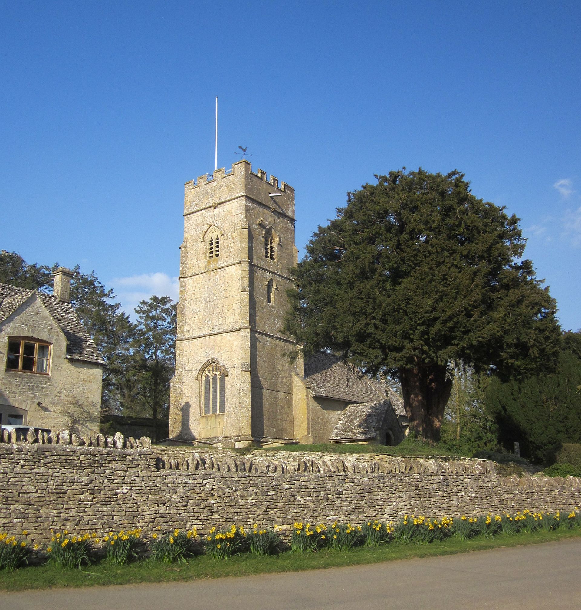
Church of St George, Hampnett

The Anglican Church of St George at Hampnett in the Cotswold District of Gloucestershire, England was built in 12th century. It is a grade I listed building...

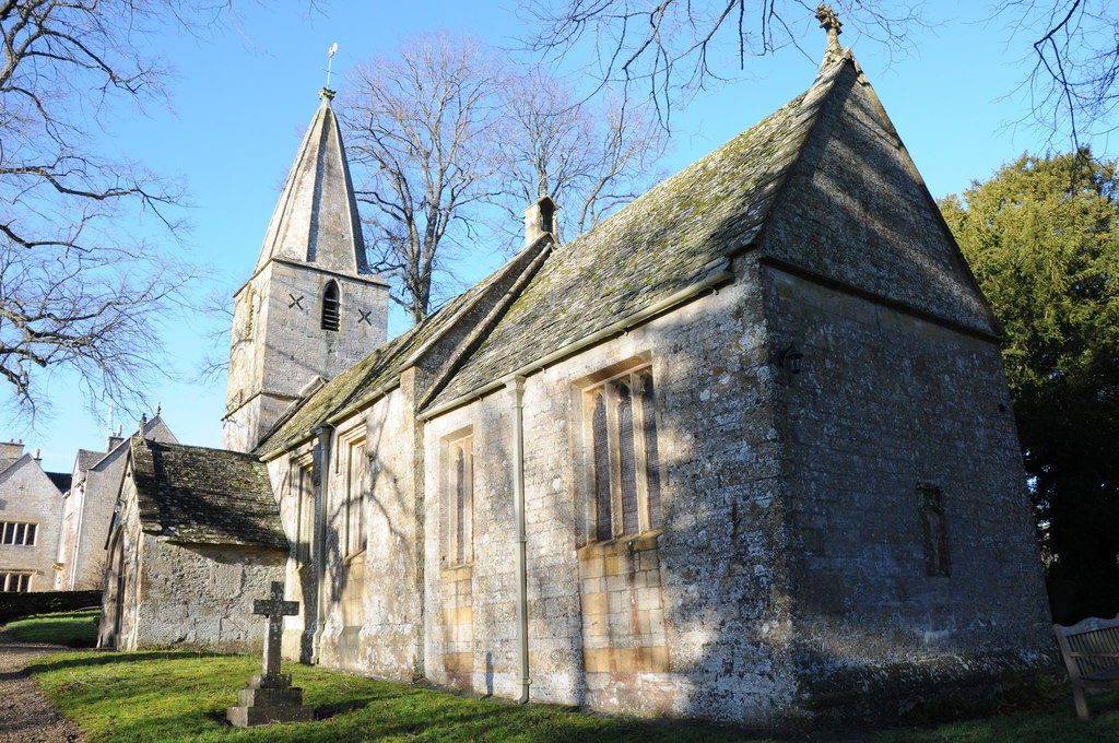
Church of St Bartholomew, Notgrove

The Anglican Church of St Bartholomew at Notgrove in the Cotswold District of Gloucestershire, England was built in the 12th century. It is a grade I listed...

RAF Northleach

Royal Air Force Northleach or more simply RAF Northleach is a former Royal Air Force satellite airfield near the Cotswold town of Northleach, Gloucestershire...

Nearby Amenities

Located within 500m of 51.858078,-1.8637824
Barrier: stile
Lat/Long: 51.8589351/-1.8603402
Barrier: stile
Lat/Long: 51.8590244/-1.861891
The data included in this document is from www.openstreetmap.org. The data is made available under ODbL.

Have you been to Nut Tree Brake?

Leave your review of Nut Tree Brake below (or comments, questions and feedback).