Bokerley Dyke Plantation

Wood, Forest in Wiltshire New Forest

England

Bokerley Dyke Plantation

Ford at Damerham This ford is found at Allenford Pond on the River Allen at Damerham.
Ford at Damerham Credit: John Walton

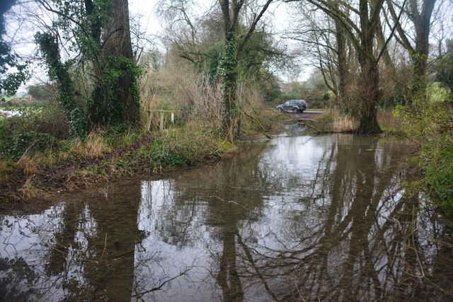
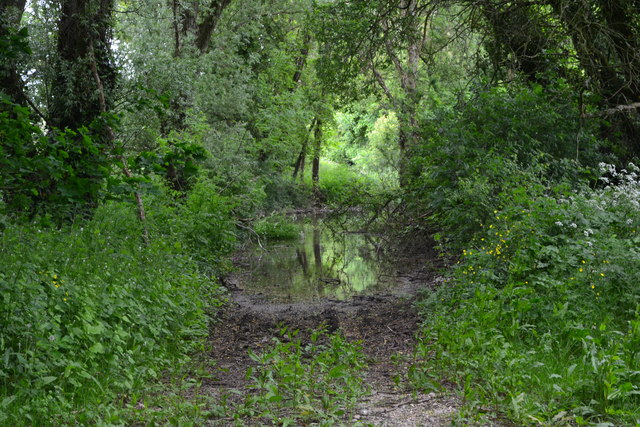
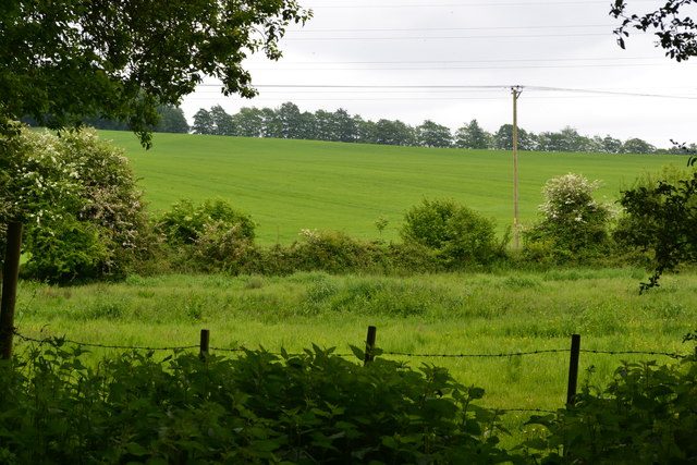
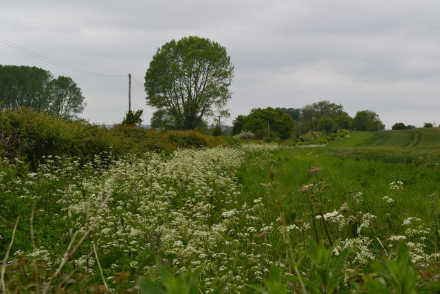
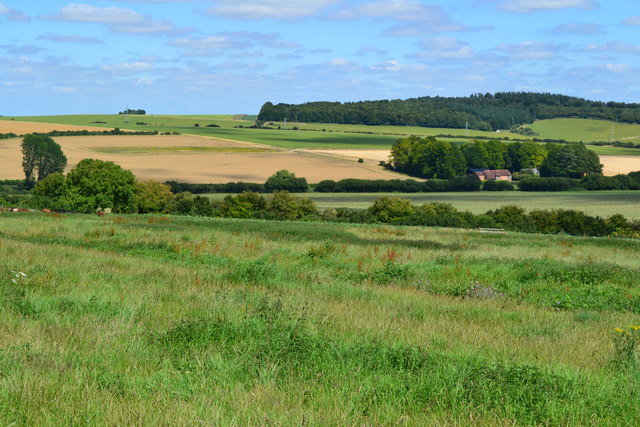
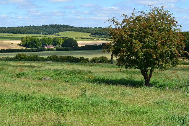
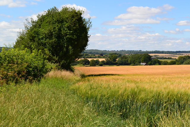
Bokerley Dyke Plantation is a woodland area located in Wiltshire, England. Covering an approximate area of 100 hectares (247 acres), it is situated near the village of Woodyates, close to the border with Dorset. The plantation lies adjacent to Bokerley Dyke, an ancient linear earthwork believed to have been created in the late Bronze Age or early Iron Age.

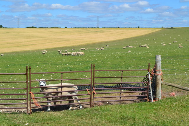
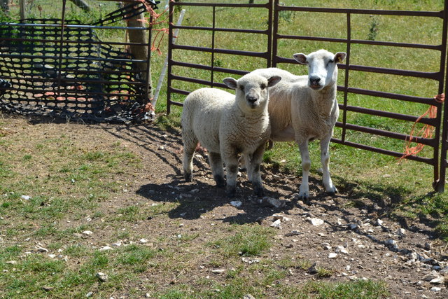
The woodland is predominantly composed of broadleaf trees, including oak, beech, and ash, which create a diverse and rich habitat for various species of flora and fauna. The dense vegetation and mature trees provide valuable nesting sites for birds such as woodpeckers, thrushes, and owls. Additionally, the woodland floor is adorned with an array of wildflowers during the spring and summer months.

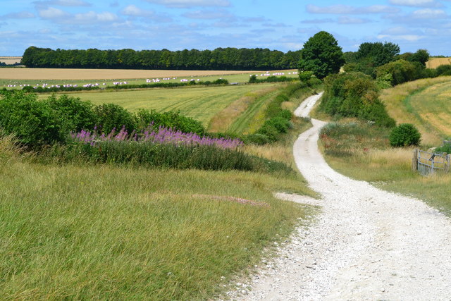
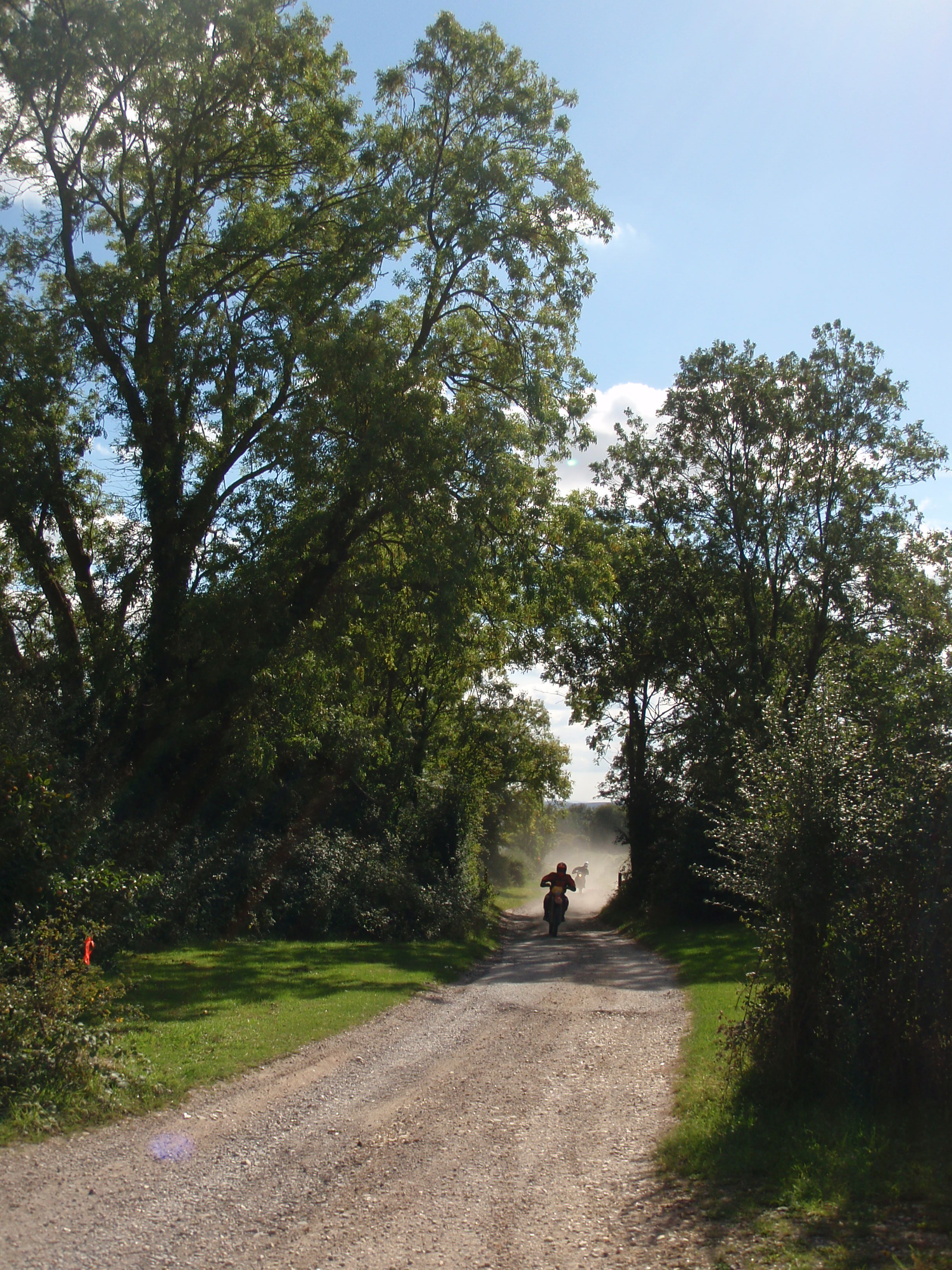
Bokerley Dyke Plantation is a popular destination for nature enthusiasts and walkers, offering several well-marked trails that allow visitors to explore the area's natural beauty. The plantation is managed by the Forestry Commission, which ensures the conservation and maintenance of the woodland, as well as the promotion of sustainable forest practices.

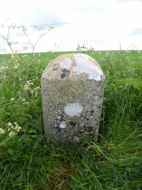
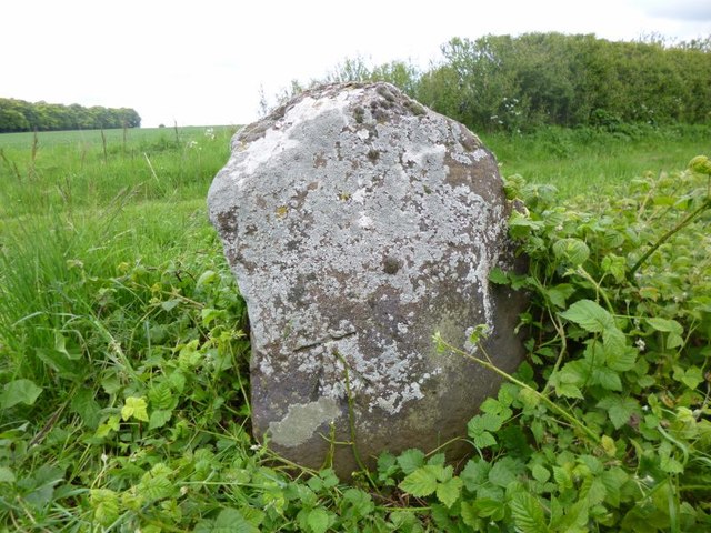
The proximity of Bokerley Dyke, a significant archaeological site, adds to the historical and cultural importance of the plantation. The dyke, which stretches for approximately eight miles, is believed to have served as a boundary or territorial marker during ancient times.

Overall, Bokerley Dyke Plantation in Wiltshire offers a tranquil and picturesque setting, combining natural beauty with historical significance, making it a favorite spot for both local residents and visitors alike.

If you have any feedback on the listing, please let us know in the comments section below.

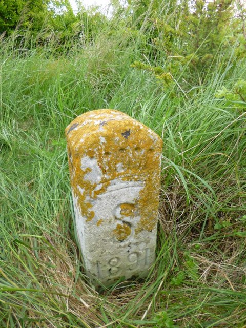
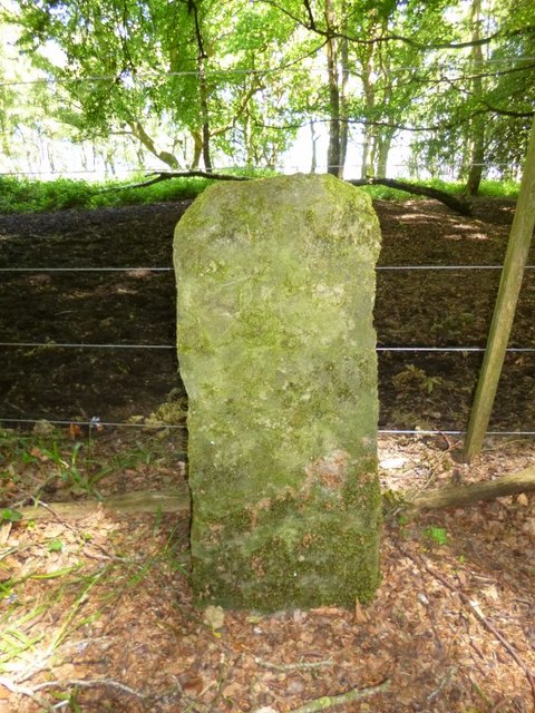
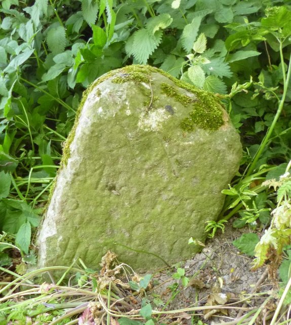
Bokerley Dyke Plantation Images

Images are sourced within 2km of 50.967526/-1.8664411 or Grid Reference SU0918. Thanks to Geograph Open Source API. All images are credited.

Ford at Damerham This ford is found at Allenford Pond on the River Allen at Damerham.
Ford at Damerham
This ford is found at Allenford Pond on the River Allen at Damerham.
Flooded footpath by Allenford Pond
View into field near Allenford Pond
Field beside the road at North Allenford Farm
Old Boundary Marker by Tidpit, Knap Barrow, Martin Parish Estate Boundary Marker in parish of Martin (New Forest District), Tidpit, Knap Barrow, top of barrow facing East.

Surveyed

Milestone Society National ID: HA_SHAF02em.
Old Boundary Marker by Tidpit, Knap Barrow, Martin Parish
Estate Boundary Marker in parish of Martin (New Forest District), Tidpit, Knap Barrow, top of barrow facing East. Surveyed Milestone Society National ID: HA_SHAF02em.
Old Boundary Marker by Bokerley Dyke, Damerham parish Parish Boundary Marker by the footpath, in parish of Damerham (New Forest District), Bokerley Dyke, on Southwest side of fence and footpath in plantation. 

Situated within the Knoll Camp hillfort Scheduled Monument site.
List Entry Number: 1010764 <span class="nowrap"><a title="https://historicengland.org.uk/listing/the-list/list-entry/1010764" rel="nofollow ugc noopener" href="https://historicengland.org.uk/listing/the-list/list-entry/1010764">Link</a><img style="margin-left:2px;" alt="External link" title="External link - shift click to open in new window" src="https://s1.geograph.org.uk/img/external.png" width="10" height="10"/></span>

Surveyed

Milestone Society National ID: HA_DAMROC02pb
Old Boundary Marker by Bokerley Dyke, Damerham parish
Parish Boundary Marker by the footpath, in parish of Damerham (New Forest District), Bokerley Dyke, on Southwest side of fence and footpath in plantation. Situated within the Knoll Camp hillfort Scheduled Monument site. List Entry Number: 1010764 LinkExternal link Surveyed Milestone Society National ID: HA_DAMROC02pb
Old Milestone near Keeper's Cottage, Martin parish Carved stone post by the UC road, in parish of MARTIN (NEW FOREST District), Tidpit, opposite Keeper's Cottage, by farm gate, on East side of road. Poole stone, erected by Soberton Road in the 19th century. 

Inscription reads:-
XX
Miles from
P(oole) G(ate) 

Milestone Society National ID: HA_PLSA20.
Old Milestone near Keeper's Cottage, Martin parish
Carved stone post by the UC road, in parish of MARTIN (NEW FOREST District), Tidpit, opposite Keeper's Cottage, by farm gate, on East side of road. Poole stone, erected by Soberton Road in the 19th century. Inscription reads:- XX Miles from P(oole) G(ate) Milestone Society National ID: HA_PLSA20.
View over farmland toward Chase Barn
Tree in field with view toward Chase Barn
View toward the crossroads in Tidpit
Field edge footpath towards Martin
Shed at Knap Barrow Farm
Sheep at Knap Barrow Farm
Sheep and lamb at Knap Barrow Farm
Track on Toyd Down
Track on Toyd Down
Old Boundary Marker on Toyd Down, Martin Parish Estate Boundary Marker by the Bridleway, in parish of Martin (New Forest District), Toyd, 400m South of Toyd Farm at bridleway junction.

Surveyed

Milestone Society National ID: HA_SHAF01em.
Old Boundary Marker on Toyd Down, Martin Parish
Estate Boundary Marker by the Bridleway, in parish of Martin (New Forest District), Toyd, 400m South of Toyd Farm at bridleway junction. Surveyed Milestone Society National ID: HA_SHAF01em.
Old Milestone by old trackway on Toyd Down, Martin Parish Carved stone post by the UC road, in parish of MARTIN (NEW FOREST District), Toyd Down; 1km North of Knap Barrow Farm, between 2 barrows, on East side of road. Poole stone, erected by the Poole turnpike trust in the 18th century. 

Inscription reads:-
XX(I)
Miles from
Poole Gate
IV Miles
from
Cranborn:   
Carved benchmark on front lower left.

Milestone Society National ID: HA_PLSA21.
Old Milestone by old trackway on Toyd Down, Martin Parish
Carved stone post by the UC road, in parish of MARTIN (NEW FOREST District), Toyd Down; 1km North of Knap Barrow Farm, between 2 barrows, on East side of road. Poole stone, erected by the Poole turnpike trust in the 18th century. Inscription reads:- XX(I) Miles from Poole Gate IV Miles from Cranborn: Carved benchmark on front lower left. Milestone Society National ID: HA_PLSA21.
Old Boundary Marker on Toyd Down, St Martin Parish Parish Boundary Marker by the Bridleway, in parish of Martin (New Forest District), Toyd Down, 400m South of Toyd Farm at bridleway junction.

Carved bench mark on face.

Surveyed

Milestone Society National ID: HA_MARROC01pb
Old Boundary Marker on Toyd Down, St Martin Parish
Parish Boundary Marker by the Bridleway, in parish of Martin (New Forest District), Toyd Down, 400m South of Toyd Farm at bridleway junction. Carved bench mark on face. Surveyed Milestone Society National ID: HA_MARROC01pb
Show me another place!

Bokerley Dyke Plantation is located at Grid Ref: SU0918 (Lat: 50.967526, Lng: -1.8664411)

Administrative County: Hampshire

District: New Forest

Police Authority: Hampshire

What 3 Words

///oxidation.shops.provoking. Near Alderholt, Dorset

Related Wikis

Knoll Camp

Knoll Camp, or Damerham Knoll, is the site of an Iron Age univallate hill fort located in Hampshire. The fort comprises a circular earthwork containing...

Toyd Down and Quarry

Toyd Down and Quarry is a 6.7-hectare (17-acre) biological Site of Special Scientific Interest east of Martin in Hampshire.This site is composed of two...
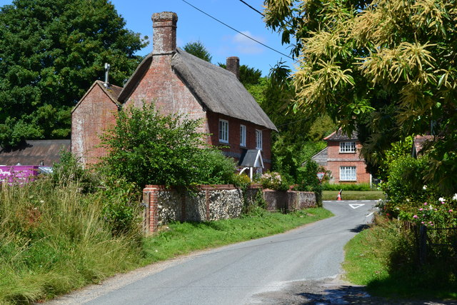
Rockbourne

Rockbourne is a village and civil parish in the English county of Hampshire, close to Fordingbridge. == Overview == Rockbourne is a village of thatched...

Martin, Hampshire

Martin is a village and civil parish in the New Forest district of Hampshire, England. The nearest town, Fordingbridge, is 7 miles (11 km) to the south...

Rockbourne Roman Villa

Rockbourne Roman Villa is a Roman courtyard villa excavated and put on public display in the village of Rockbourne in the English county of Hampshire....

Damerham

Damerham is a rural village and civil parish in the New Forest district of Hampshire, England, near Fordingbridge. The area has notable Neolithic and Bronze...

Whitsbury

Whitsbury is a village and civil parish in Hampshire, England, close to Fordingbridge. Whitsbury is a part of a group of villages on the edge of the Cranborne...

Whitsbury Castle

Whitsbury Castle, or Whitsbury Castle Ditches, is the site of an Iron Age univallate hillfort located near the village of Whitsbury in Hampshire. The fort...

Nearby Amenities

Located within 500m of 50.967526,-1.8664411
Power: tower
Lat/Long: 50.9678836/-1.8734048
Grim's Ditch
Archaeological Site: fortification
Fortification Type: hill_fort
Historic: archaeological_site
Lat/Long: 50.9663475/-1.8601877
Damerham Knoll
Ele: 146
Natural: peak
Wikidata: Q6422970
Wikipedia: en:Knoll Camp
Lat/Long: 50.9661033/-1.8610332
The data included in this document is from www.openstreetmap.org. The data is made available under ODbL.

Have you been to Bokerley Dyke Plantation?

Leave your review of Bokerley Dyke Plantation below (or comments, questions and feedback).