Westbank Clump

Wood, Forest in Durham

England

Westbank Clump

Byerley House
Byerley House Credit: Oliver Dixon

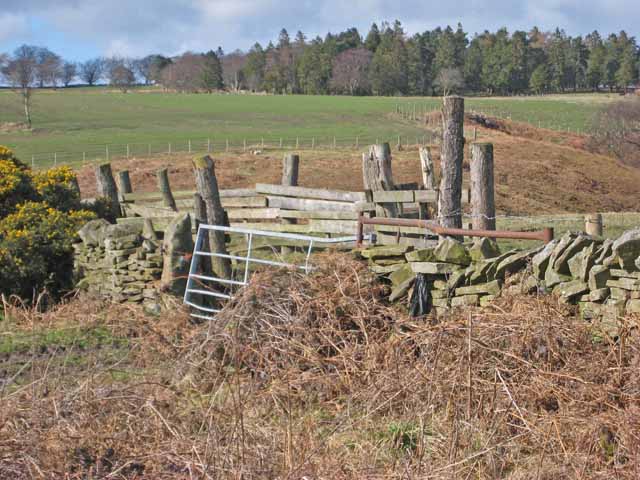
Westbank Clump is a charming woodland area located in Durham, England. Situated near the village of Wood and Forest, it offers a tranquil escape from the bustling city life. Covering an area of approximately 10 acres, Westbank Clump is a haven for nature lovers and outdoor enthusiasts.

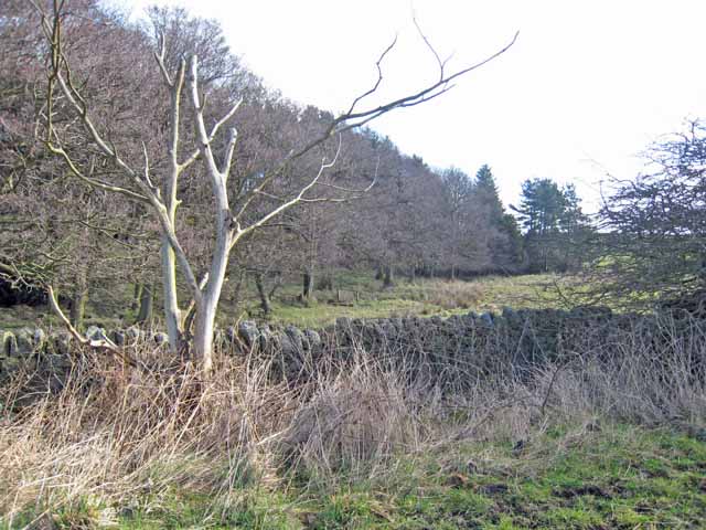
The woodland is predominantly composed of native British trees, including oak, beech, ash, and birch. The dense canopy provides shade and creates a cool atmosphere, making it an ideal spot for leisurely walks or picnics on warm summer days. The forest floor is covered with a carpet of lush green ferns and moss, adding to the enchanting ambiance.

Wildlife thrives in Westbank Clump, offering visitors a chance to observe various species in their natural habitat. Birdwatchers will be delighted by the presence of woodpeckers, owls, and songbirds, while the observant eye may spot squirrels, rabbits, or even deer.

The woodland is crisscrossed with well-maintained footpaths, allowing visitors to explore its beauty at their own pace. These paths lead to hidden clearings and secluded spots, perfect for those seeking solitude or a peaceful spot for meditation.

Westbank Clump is not only a place of natural beauty, but it also holds historical significance. The woodland is believed to have been part of the ancient Sherwood Forest, mentioned in medieval literature and folklore. The area's rich history adds an extra layer of fascination to an already captivating destination.

In summary, Westbank Clump in Durham is a picturesque woodland that offers a sanctuary for nature lovers and history enthusiasts alike. With its diverse flora and fauna, well-maintained footpaths, and tranquil atmosphere, it is undoubtedly a place worth exploring for anyone seeking a connection with nature and a break from the hustle and bustle of everyday life.

If you have any feedback on the listing, please let us know in the comments section below.

Westbank Clump Images

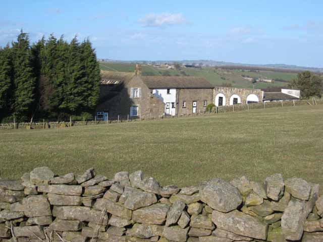
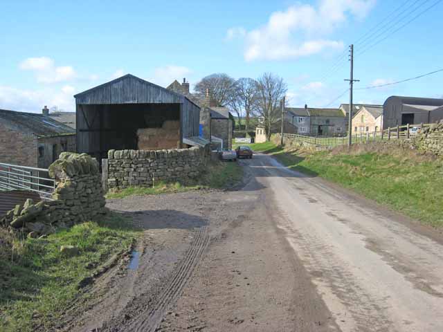
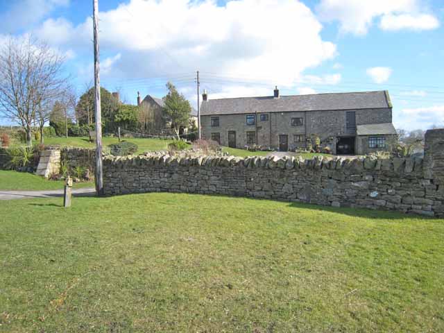
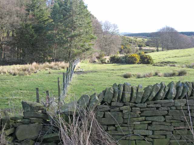
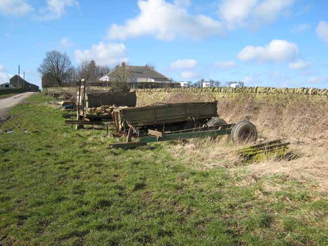
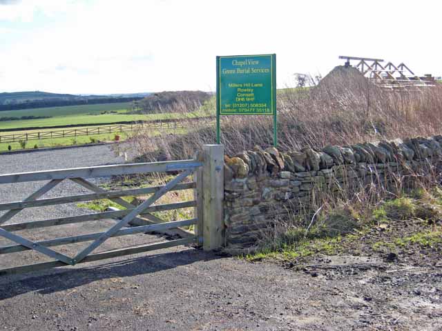
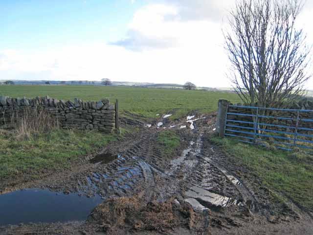
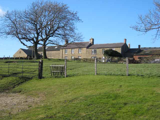
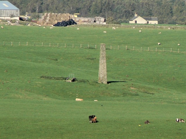
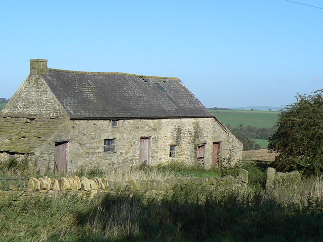
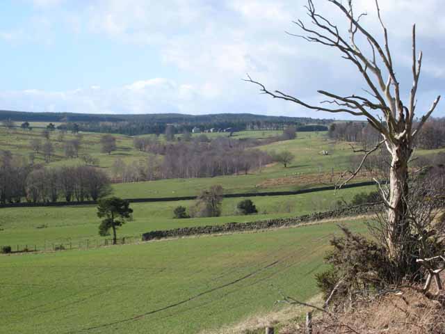
Images are sourced within 2km of 54.799675/-1.8540954 or Grid Reference NZ0944. Thanks to Geograph Open Source API. All images are credited.

Byerley House
Byerley House
West Butsfield
West Butsfield
West Butsfield
West Butsfield
Valley at the head of the Rippon Burn Next to Broadmeadows.
Valley at the head of the Rippon Burn
Next to Broadmeadows.
Valley at the head of the Rippon Burn Next to Broadmeadows.
Valley at the head of the Rippon Burn
Next to Broadmeadows.
Trailers by the roadside West Butsfield <a href="https://www.geograph.org.uk/gridref/NZ1044">NZ1044</a> in the distance.
Trailers by the roadside
West Butsfield NZ1044 in the distance.
Chapel View Green Burial Services It is not entirely clear what this premises is. There appears to be a chapel-of-rest under construction or reconstruction. The plot is either a country cemetery or the base from which green burials are carried out at other sites.
Chapel View Green Burial Services
It is not entirely clear what this premises is. There appears to be a chapel-of-rest under construction or reconstruction. The plot is either a country cemetery or the base from which green burials are carried out at other sites.
Muddy gateway Miller's Hill Lane, Rowley.
Muddy gateway
Miller's Hill Lane, Rowley.
East Butsfield
East Butsfield
Abandoned chimney This isolated brick chimney, left over from an industrial past, still dominates the agricultural scene near Quickburn Grange.
Abandoned chimney
This isolated brick chimney, left over from an industrial past, still dominates the agricultural scene near Quickburn Grange.
Old farm building Building a little to the north of Springwell Farm.
Old farm building
Building a little to the north of Springwell Farm.
"Are we nearly there yet?" Bee Cottage Guesthouse <span class="nowrap"><a title="http://www.beecottage.co.uk" rel="nofollow ugc noopener" href="http://www.beecottage.co.uk">Link</a><img style="margin-left:2px;" alt="External link" title="External link - shift click to open in new window" src="https://s1.geograph.org.uk/img/external.png" width="10" height="10"/></span> lies a good 3 km off the A68 on a switchback single-track lane. The sign has been put up to reassure guests that they are nearly there! The hamlet of Oxen Law can be seen on the skyine.
"Are we nearly there yet?"
Bee Cottage Guesthouse LinkExternal link lies a good 3 km off the A68 on a switchback single-track lane. The sign has been put up to reassure guests that they are nearly there! The hamlet of Oxen Law can be seen on the skyine.
Head of the Browney valley Greenfield Farm <a href="https://www.geograph.org.uk/photo/357627">NZ0744 : Greenfield Farm</a> can be seen in the distance.
Head of the Browney valley
Greenfield Farm NZ0744 : Greenfield Farm can be seen in the distance.
Wall and stockade Above the valley of the Black Burn.
Wall and stockade
Above the valley of the Black Burn.
Mount Pleasant Farm Off the A68.
Mount Pleasant Farm
Off the A68.
Low Hermitage Farm, beside the A68 Showing both a modern barn and a traditional barn with steps leading up to the hayloft.
Low Hermitage Farm, beside the A68
Showing both a modern barn and a traditional barn with steps leading up to the hayloft.
A68 at Low Hermitage Farm The A68 is a dramatic main road which runs from Darlington via Corbridge and the Scottish Border at Carter Bar as far as Dalkeith on the outskirts of Edinburgh. It is a high level route, with many long straight switchback sections across deep valleys.
<span class="nowrap"><a title="http://www.sabre-roads.org.uk/roadlists/f99/68.shtml" rel="nofollow ugc noopener" href="http://www.sabre-roads.org.uk/roadlists/f99/68.shtml">Link</a><img style="margin-left:2px;" alt="External link" title="External link - shift click to open in new window" src="https://s1.geograph.org.uk/img/external.png" width="10" height="10"/></span>
A68 at Low Hermitage Farm
The A68 is a dramatic main road which runs from Darlington via Corbridge and the Scottish Border at Carter Bar as far as Dalkeith on the outskirts of Edinburgh. It is a high level route, with many long straight switchback sections across deep valleys. LinkExternal link
Upper Browney valley Viewed from a point near West Bustfield. The A68 crosses the field of view in the middle distance but is hidden by trees. The road climbing the hill in the distance runs to Salter's Gate <a href="https://www.geograph.org.uk/gridref/NZ0742">NZ0742</a>.
Upper Browney valley
Viewed from a point near West Bustfield. The A68 crosses the field of view in the middle distance but is hidden by trees. The road climbing the hill in the distance runs to Salter's Gate NZ0742.
Show me another place!

Westbank Clump is located at Grid Ref: NZ0944 (Lat: 54.799675, Lng: -1.8540954)

Unitary Authority: County Durham

Police Authority: Durham

What 3 Words

///procured.pulsing.duke. Near Castleside, Co. Durham

Related Wikis

Murder of Harry Collinson

The murder of Harry Collinson, the planning officer for Derwentside District Council, occurred on 20 June 1991 at Butsfield, County Durham, England. At...

Butsfield

Butsfield is a village in County Durham, England. It is situated a few miles to the south of Consett, near the village of Satley. Butsfield Burn Farm is...

Satley

Satley is a village and civil parish in County Durham, England, with a population of 292 in 2001, falling to 282 at the 2011 Census. It is situated six...

Rowley railway station (England)

Rowley railway station served the hamlet of Rowley and the village of Castleside in County Durham, England from 1845 to 1966 on the Derwent Railway....

Nearby Amenities

Located within 500m of 54.799675,-1.8540954
The data included in this document is from www.openstreetmap.org. The data is made available under ODbL.

Have you been to Westbank Clump?

Leave your review of Westbank Clump below (or comments, questions and feedback).