Arras Wood
Wood, Forest in Gloucestershire Cotswold
England
Arras Wood
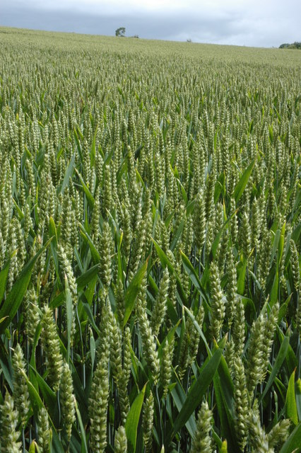
Arras Wood is a picturesque woodland located in the county of Gloucestershire, England. Situated near the village of Arras, the wood covers an area of approximately 50 acres, offering visitors a tranquil and immersive natural experience.
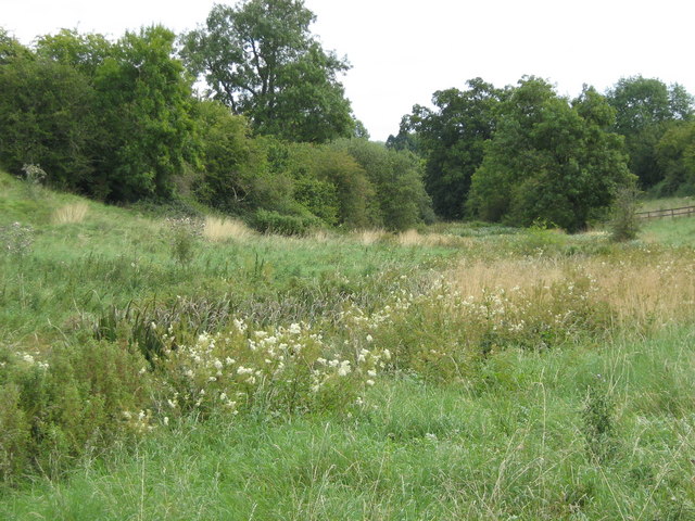
The wood boasts a diverse range of tree species, including oak, beech, ash, and birch, creating a rich and vibrant ecosystem. The forest floor is adorned with a carpet of bluebells in the spring, adding a splash of color to the already beautiful surroundings.
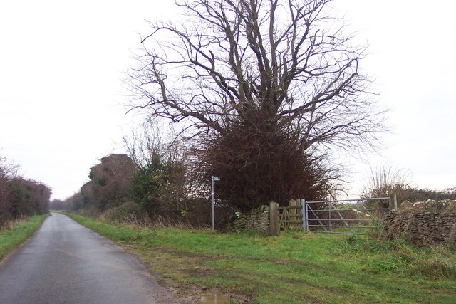
Arras Wood is a popular destination for nature enthusiasts and hikers, with a network of well-maintained footpaths winding through the woodland. These paths allow visitors to explore the wood at their own pace, taking in the sights and sounds of the local wildlife, including birds, squirrels, and rabbits.
The wood is also home to a small pond, which provides a habitat for various amphibians and insects. Visitors can often spot dragonflies and frogs resting by the water's edge, adding an element of enchantment to the woodland experience.
Arras Wood is managed by the local council, ensuring the preservation of its natural beauty and wildlife. The wood is open to the public year-round, and there are no entrance fees, making it accessible to all. Additionally, there are picnic areas and benches scattered throughout the wood, allowing visitors to relax and enjoy the peaceful surroundings.
Overall, Arras Wood is a hidden gem in the Gloucestershire countryside, offering a tranquil escape and a chance to reconnect with nature.
If you have any feedback on the listing, please let us know in the comments section below.
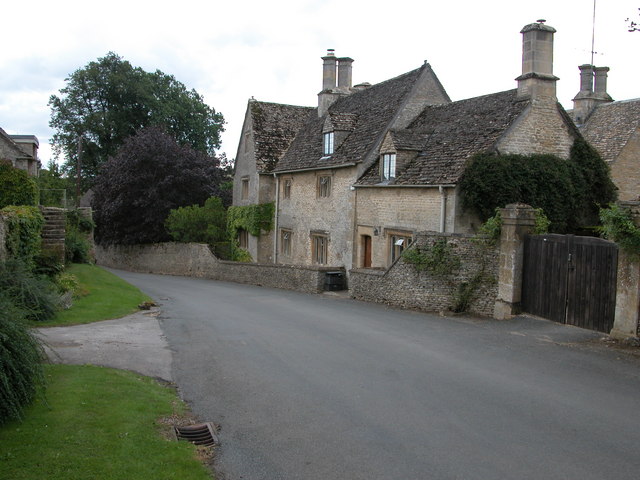
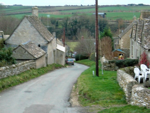
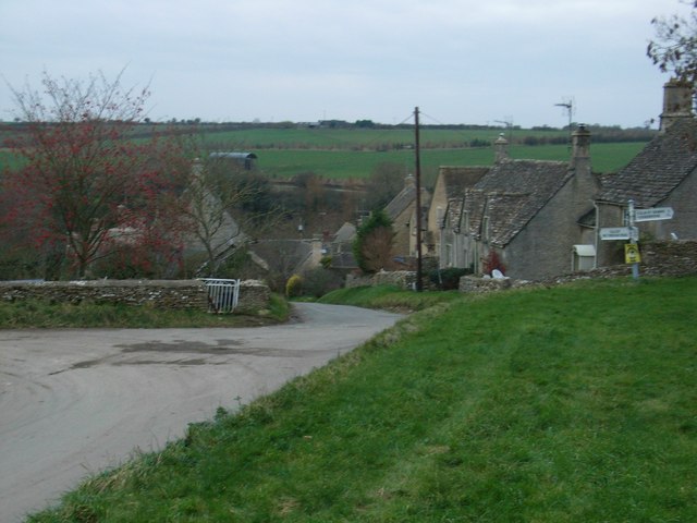
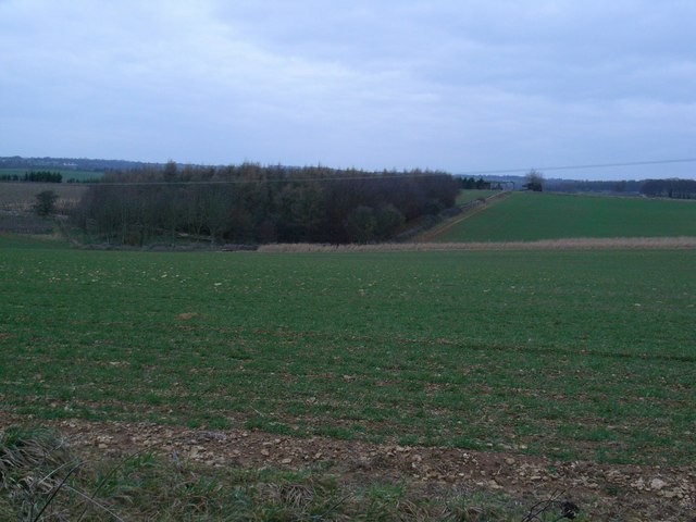
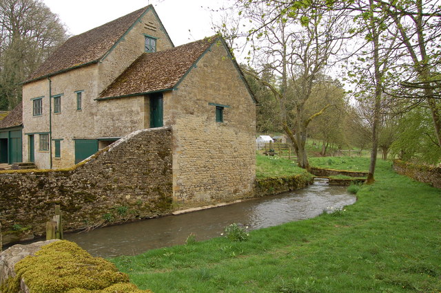
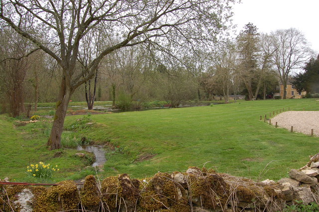
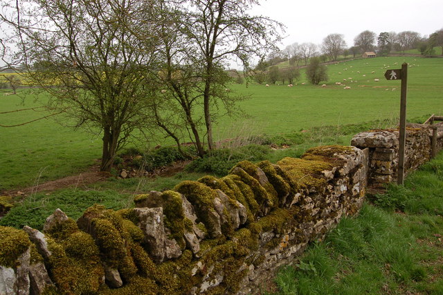
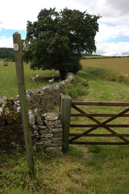
Arras Wood Images
Images are sourced within 2km of 51.804384/-1.863915 or Grid Reference SP0911. Thanks to Geograph Open Source API. All images are credited.

Arras Wood is located at Grid Ref: SP0911 (Lat: 51.804384, Lng: -1.863915)
Administrative County: Gloucestershire
District: Cotswold
Police Authority: Gloucestershire
What 3 Words
///taps.grips.indulgent. Near Northleach, Gloucestershire
Nearby Locations
Related Wikis

Coln St. Dennis
Coln St. Dennis is a village and civil parish on the River Coln in Gloucestershire about 3 miles (4.8 km) southwest of Northleach and about 7 miles (11...

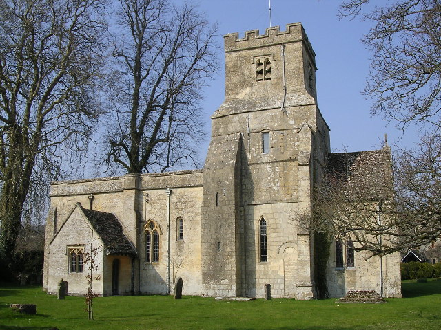
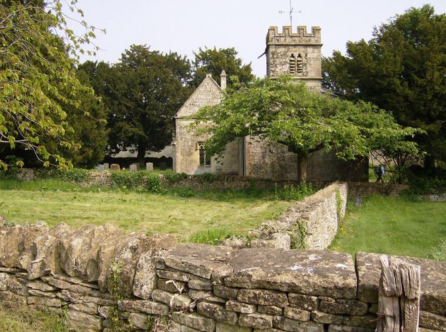
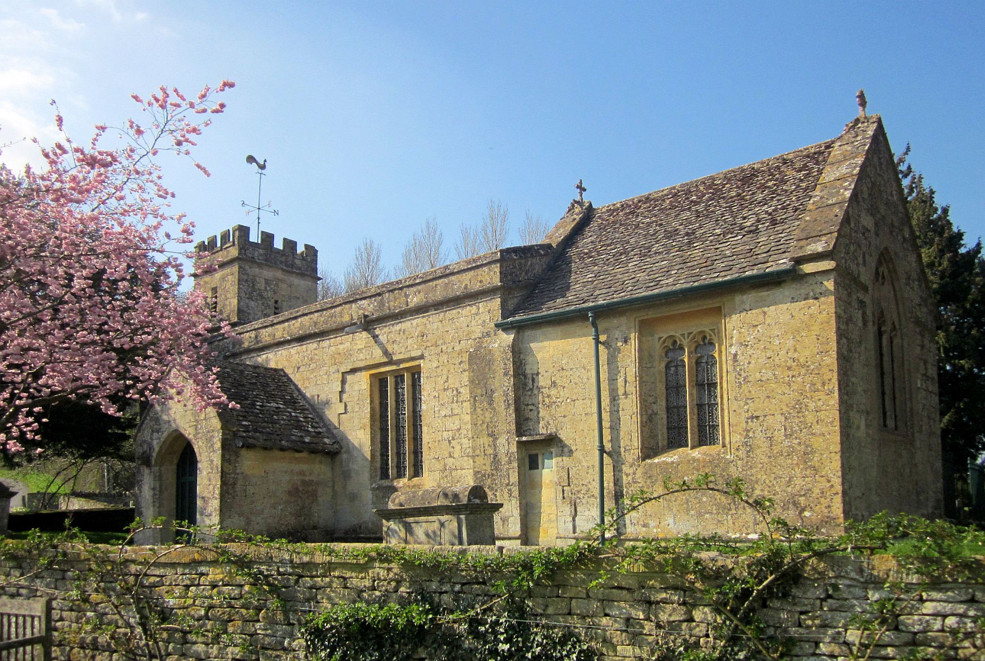
Church of St James, Coln St. Dennis
The Anglican Church of St James at Coln St. Dennis in the Cotswold District of Gloucestershire, England was built in the 12th century. It is a grade I...

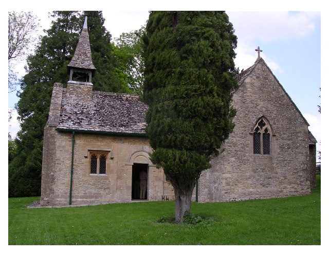
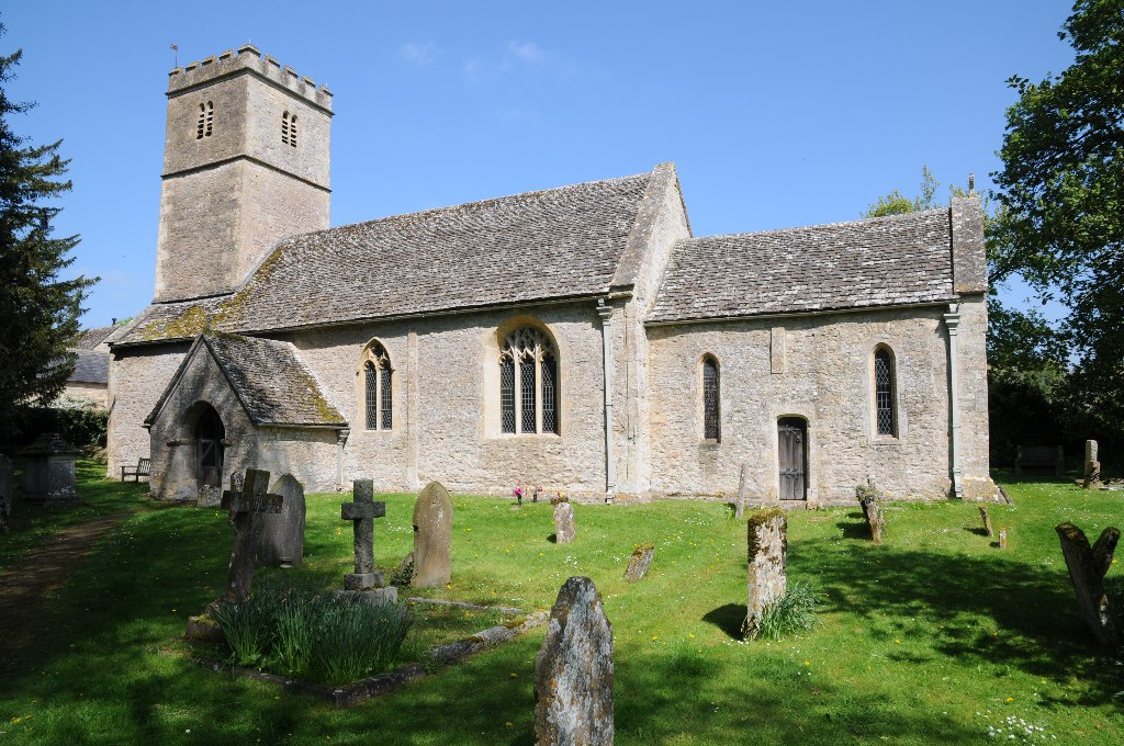
Church of St Leonard, Stowell Park
The Anglican Church of St Leonard at Stowell Park, in the Cotswold District of Gloucestershire, England was built in the 12th century. It is a grade I...

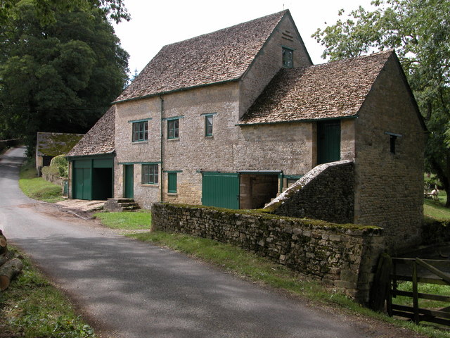
Calcot, Gloucestershire
Calcot is a settlement in the English county of Gloucestershire. Calcot forms part of the civil parish of Coln St Dennis, within the Cotswold local government...
Yanworth
Yanworth is a small rural parish located in the county of Gloucestershire, England 14 miles south east of Cheltenham and 88 miles North West of London...
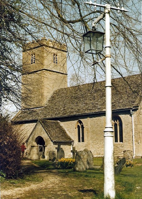
Church of St Andrew, Coln Rogers
The Anglican Church of St Andrew at Coln Rogers in the Cotswold District of Gloucestershire, England was built in the 11th century. It is a grade I listed...
Coln Rogers
Coln Rogers is a village and former civil parish, now in the parish of Coln St. Dennis, in the Cotswold district of the county of Gloucestershire, England...
St Michael's Church, Yanworth
The Church of St. Michael is the parish church of Yanworth, Gloucestershire, England. The church is a Grade II* listed building dating from the late-12th...
Nearby Amenities
Located within 500m of 51.804384,-1.863915Have you been to Arras Wood?
Leave your review of Arras Wood below (or comments, questions and feedback).