The Far Covert
Wood, Forest in Gloucestershire Cotswold
England
The Far Covert
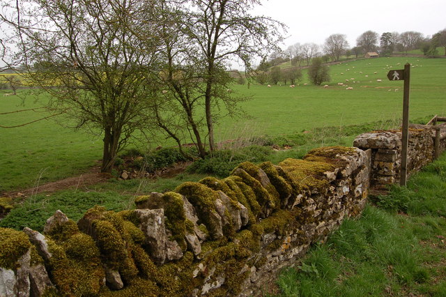
The Far Covert, located in Gloucestershire, England, is a mesmerizing woodland area nestled within the scenic Forest of Dean. Covering a substantial area, this enchanting forest is renowned for its dense and diverse vegetation, making it a haven for nature lovers and wildlife enthusiasts.
The woodland is characterized by a mix of deciduous and coniferous trees, including oak, beech, pine, and spruce, which create a lush and green canopy overhead. The forest floor is carpeted with ferns, mosses, and wildflowers, adding to the area's natural beauty. The Far Covert boasts an abundance of wildlife, with sightings of deer, foxes, badgers, and a variety of bird species being quite common.
Visitors to The Far Covert can enjoy a range of activities, including hiking, nature walks, and photography. The forest is crisscrossed by a network of well-maintained trails, allowing visitors to explore its hidden gems and discover its tranquil spots. The diverse flora and fauna provide ample opportunities for nature photography, capturing the beauty of the forest and its inhabitants.
The Far Covert is a sanctuary away from the hustle and bustle of everyday life, offering visitors a chance to immerse themselves in the serenity of nature. Its peaceful atmosphere, coupled with its stunning landscapes, makes it a popular destination for those seeking solace and a connection with the natural world.
In conclusion, The Far Covert in Gloucestershire is a captivating woodland area within the Forest of Dean, offering a rich tapestry of flora and fauna, picturesque trails, and a sanctuary for anyone seeking a tranquil escape in nature.
If you have any feedback on the listing, please let us know in the comments section below.
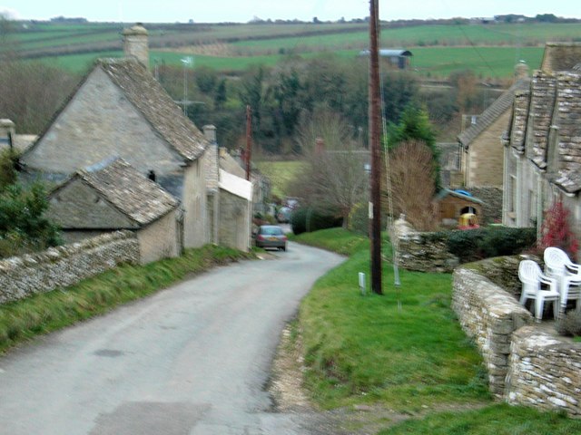
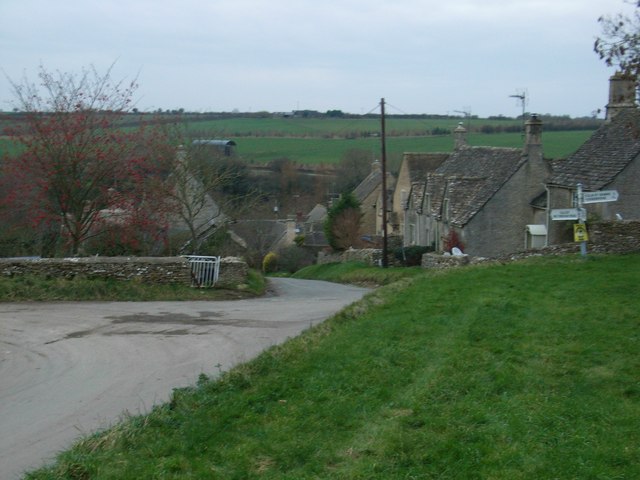
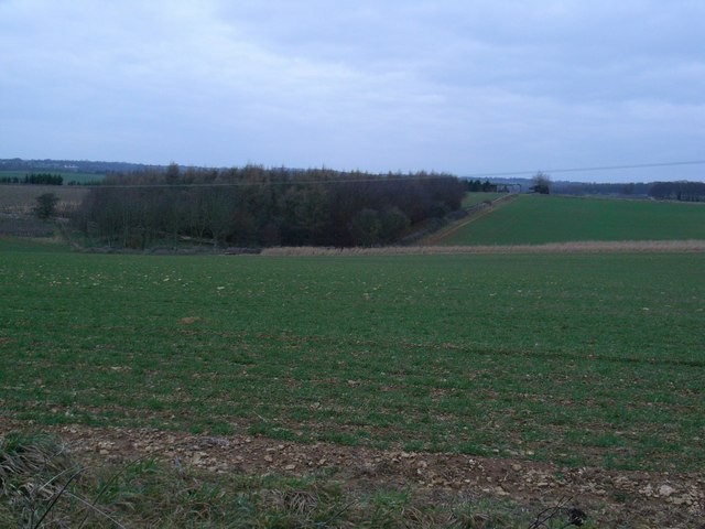
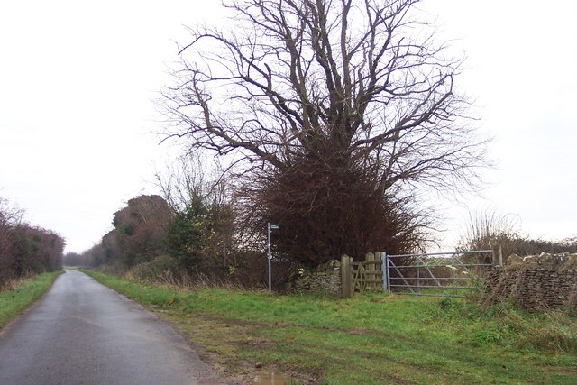
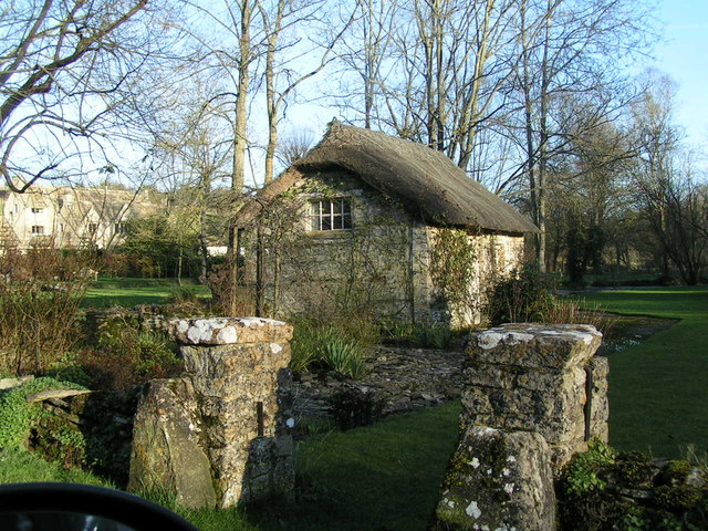
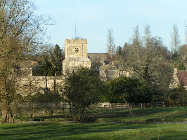
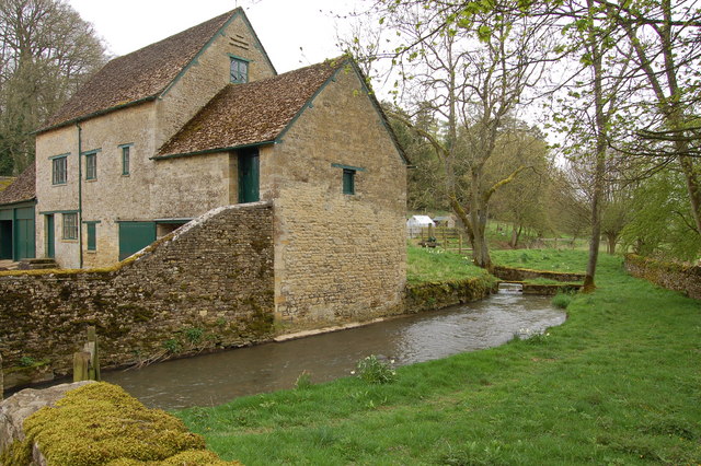
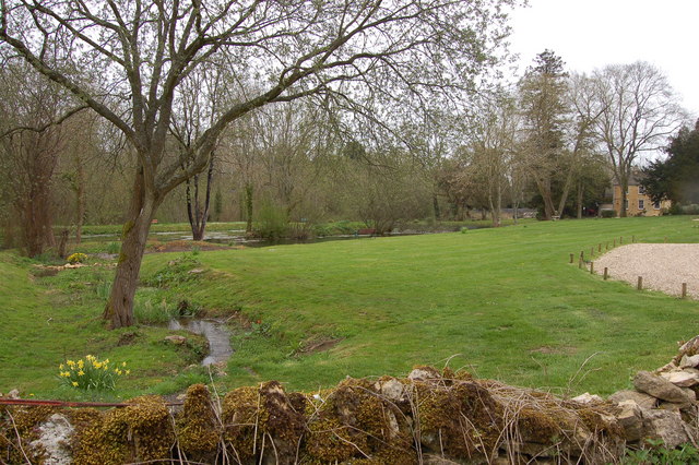
The Far Covert Images
Images are sourced within 2km of 51.804363/-1.8609275 or Grid Reference SP0911. Thanks to Geograph Open Source API. All images are credited.


The Far Covert is located at Grid Ref: SP0911 (Lat: 51.804363, Lng: -1.8609275)
Administrative County: Gloucestershire
District: Cotswold
Police Authority: Gloucestershire
What 3 Words
///expand.grudging.fixed. Near Northleach, Gloucestershire
Nearby Locations
Related Wikis

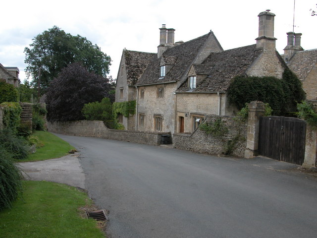
Coln St. Dennis
Coln St. Dennis is a village and civil parish on the River Coln in Gloucestershire about 3 miles (4.8 km) southwest of Northleach and about 7 miles (11...

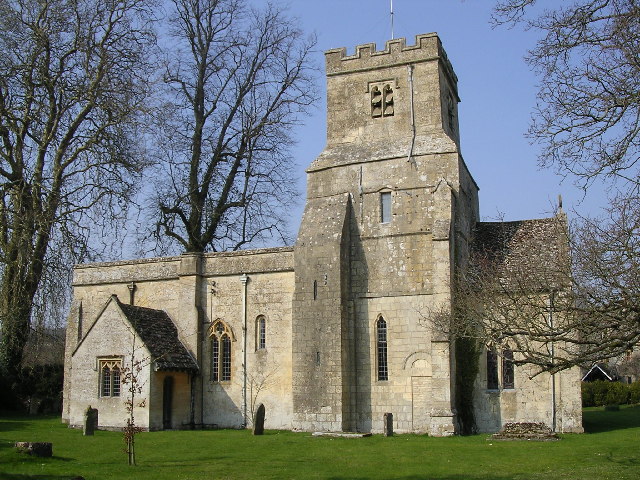
Church of St James, Coln St. Dennis
The Anglican Church of St James at Coln St. Dennis in the Cotswold District of Gloucestershire, England was built in the 12th century. It is a grade I...

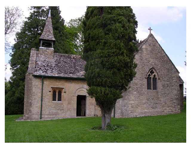
Church of St Leonard, Stowell Park
The Anglican Church of St Leonard at Stowell Park, in the Cotswold District of Gloucestershire, England was built in the 12th century. It is a grade I...

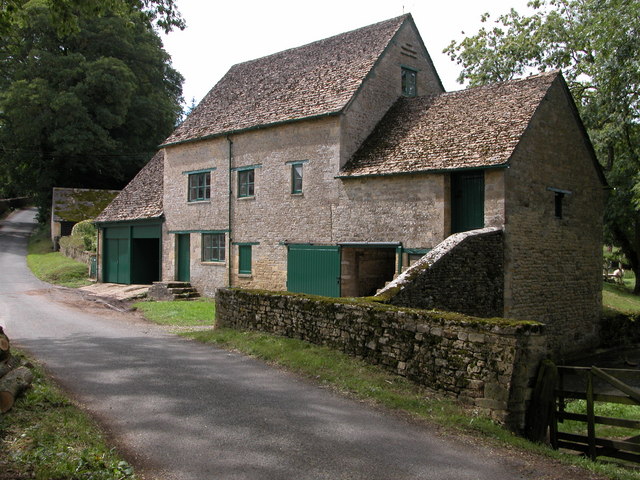
Calcot, Gloucestershire
Calcot is a settlement in the English county of Gloucestershire. Calcot forms part of the civil parish of Coln St Dennis, within the Cotswold local government...
Nearby Amenities
Located within 500m of 51.804363,-1.8609275Have you been to The Far Covert?
Leave your review of The Far Covert below (or comments, questions and feedback).