Lybrook Coppice

Wood, Forest in Worcestershire Wychavon

England

Lybrook Coppice

Isolated bungalow near Broadway Country Park Photographed from a public foot path. Note the 'fox' on top of the chimney.
Isolated bungalow near Broadway Country Park Credit: Chris Allen

Lybrook Coppice is a picturesque woodland located in Worcestershire, England. Spread over a vast area, this ancient forest is a captivating natural wonder that attracts visitors from near and far. The coppice is situated in the eastern part of the county, nestled between the towns of Kidderminster and Bromsgrove.

The woodland is primarily composed of oak and ash trees, providing a dense canopy that creates a cool and serene atmosphere. The forest floor is adorned with a rich carpet of wildflowers, such as bluebells and primroses, which bloom vibrantly during the spring months. This makes Lybrook Coppice particularly enchanting for nature enthusiasts and photographers.

The forest is home to a diverse range of wildlife, making it a haven for animal lovers. Visitors may spot red foxes, badgers, and even the elusive deer that roam freely within the woodland. Birdwatchers will be delighted by the variety of avian species, including woodpeckers, owls, and various songbirds.

For those seeking outdoor activities, Lybrook Coppice offers a network of well-maintained walking trails that meander through the forest. These trails cater to all levels of fitness and provide ample opportunities for hikers to immerse themselves in the tranquil surroundings. Additionally, the forest is a popular spot for camping and picnicking, allowing visitors to fully embrace the beauty of nature.

Overall, Lybrook Coppice is a captivating woodland that showcases the natural splendor of Worcestershire. Whether for a leisurely stroll, wildlife observation, or simply to escape the hustle and bustle of everyday life, this forest provides a peaceful sanctuary that is sure to leave a lasting impression.

If you have any feedback on the listing, please let us know in the comments section below.

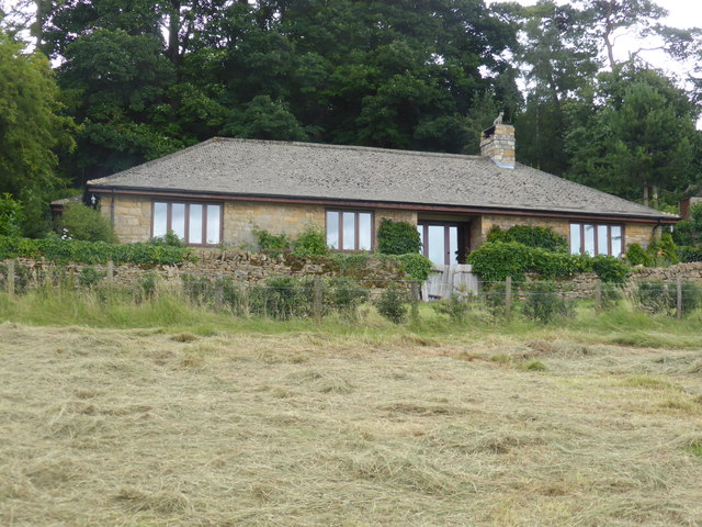
Lybrook Coppice Images

Images are sourced within 2km of 52.022397/-1.8666367 or Grid Reference SP0936. Thanks to Geograph Open Source API. All images are credited.

Isolated bungalow near Broadway Country Park Photographed from a public foot path. Note the 'fox' on top of the chimney.
Isolated bungalow near Broadway Country Park
Photographed from a public foot path. Note the 'fox' on top of the chimney.
Colletts Fields, Broadway From Leamington Road, the road named Colletts Fields leads to Orchard Avenue and Colletts Gardens.
Colletts Fields, Broadway
From Leamington Road, the road named Colletts Fields leads to Orchard Avenue and Colletts Gardens.
High Street, Broadway Heading east along High Street at Broadway.
High Street, Broadway
Heading east along High Street at Broadway.
Milestone House The milestone was defaced during the Second World War and shows 90 miles to London.
Milestone House
The milestone was defaced during the Second World War and shows 90 miles to London.
Coneygree Lane
Coneygree Lane
Farmland above Dor Knap
Barn conversion at The Rookery
A stag in the woods The sculpture can be seen down an avenue in the woods.
A stag in the woods
The sculpture can be seen down an avenue in the woods.
Broadway High Street, Eastern End Very quiet for a High Street, a glance at the map shows that this was once part of the main thoroughfare through Broadway. Building a by pass has meant that this end of the street is now just another residential road, albeit a very wide and smart one.
Broadway High Street, Eastern End
Very quiet for a High Street, a glance at the map shows that this was once part of the main thoroughfare through Broadway. Building a by pass has meant that this end of the street is now just another residential road, albeit a very wide and smart one.
Eastern part of Broadway High Street
Cotswold Way above Broadway
Large beech trees
Large beech trees
Quiet Broadway High Street Very quiet for a High Street, a glance at the map shows that this was once part of the main thoroughfare through Broadway. Building a by pass has meant that this end of the street is now just another residential road, albeit a very wide and smart one.
Quiet Broadway High Street
Very quiet for a High Street, a glance at the map shows that this was once part of the main thoroughfare through Broadway. Building a by pass has meant that this end of the street is now just another residential road, albeit a very wide and smart one.
Houses on Broadway High Street Houses and cottages on Broadway High Street.
Houses on Broadway High Street
Houses and cottages on Broadway High Street.
Cottage on Broadway High Street Cottage at right angles to High Street in Broadway.
Cottage on Broadway High Street
Cottage at right angles to High Street in Broadway.
An old letterbox Clearly an old letter box on Broadway High Street, unusual in that it has not letters relating to a monarch.  It has the appearance of being Victorian.
An old letterbox
Clearly an old letter box on Broadway High Street, unusual in that it has not letters relating to a monarch. It has the appearance of being Victorian.
Milestone on Broadway High Street Milestomne on Broadway High Street indicating it is 90 miles to London.
Milestone on Broadway High Street
Milestomne on Broadway High Street indicating it is 90 miles to London.
Milestone on Broadway High Street Milestone on Broadway High Street indicating it is 90 miles to London.  During World War II this milestone was defaced, it was restored for the coronation of Queen Elizabeth II in the 1953.
Milestone on Broadway High Street
Milestone on Broadway High Street indicating it is 90 miles to London. During World War II this milestone was defaced, it was restored for the coronation of Queen Elizabeth II in the 1953.
Show me another place!

Lybrook Coppice is located at Grid Ref: SP0936 (Lat: 52.022397, Lng: -1.8666367)

Administrative County: Worcestershire

District: Wychavon

Police Authority: West Mercia

What 3 Words

///assess.empty.emulating. Near Broadway, Worcestershire

Related Wikis

Buckland, Gloucestershire

Buckland is a village and civil parish in the borough of Tewkesbury, Gloucestershire, England. The parish, which also includes the village of Laverton...

Broadway War Memorial

The Broadway War Memorial is located on the village green in the village of Broadway in Worcestershire. The memorial marks the deaths of local individuals...
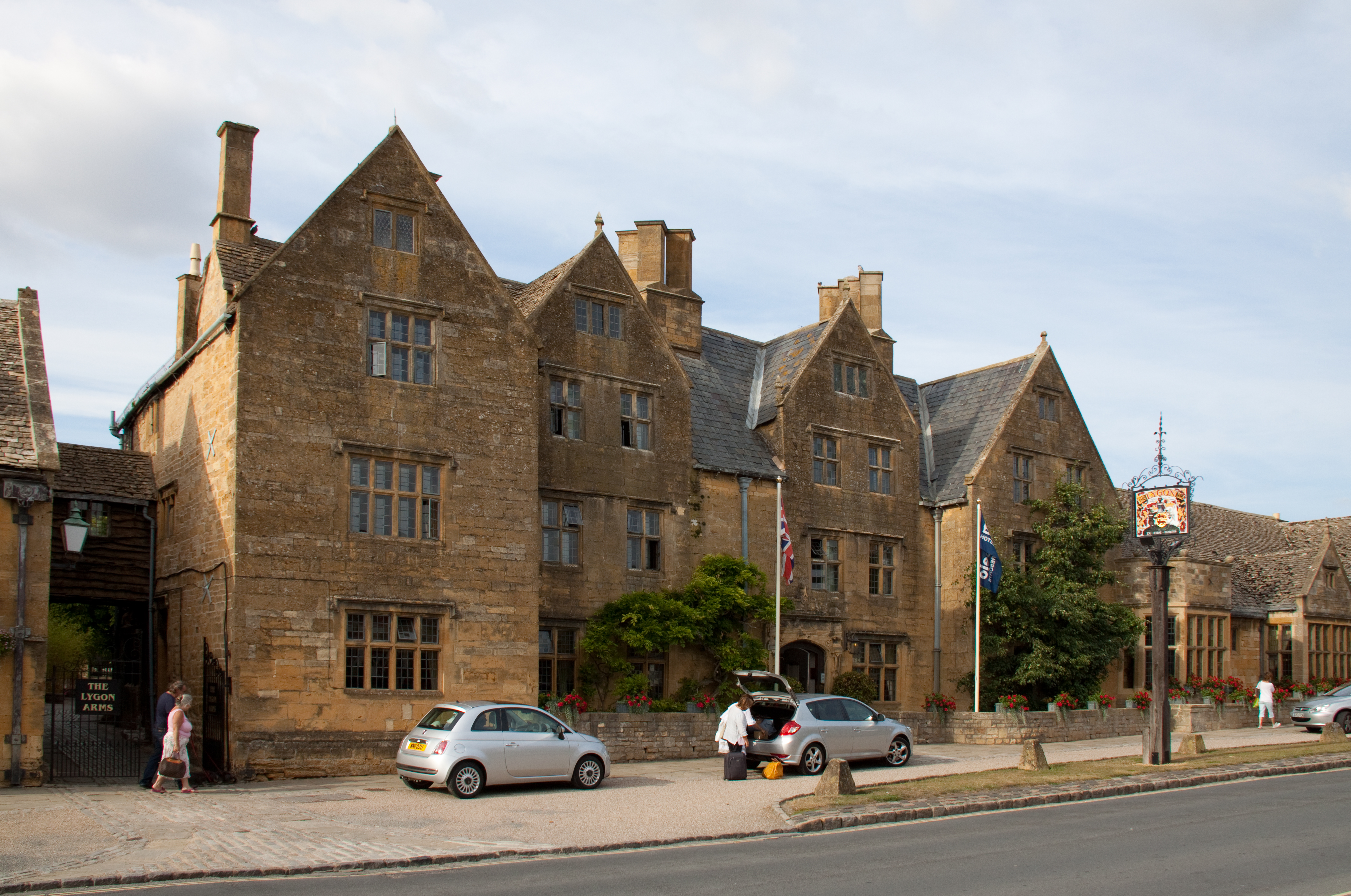
Lygon Arms

The Lygon Arms ( LIG-ən) is a Grade II* listed hotel in Broadway, Worcestershire, originally a coaching inn. The current building dates from the seventeenth...

Laverton, Gloucestershire

Laverton is a village in Tewkesbury Borough in Gloucestershire, England. It lies less than a mile south of the village of Buckland, and is in the civil...

Broadway, Worcestershire

Broadway is a large village and civil parish in the Cotswolds, England, with a population of 2,540 at the 2011 census. It is in the far southeast of Worcestershire...

Broadway Tower, Worcestershire

Broadway Tower is an 18th-century folly near the village of Broadway, in the English county of Worcestershire. It is a Grade II listed building.Broadway...
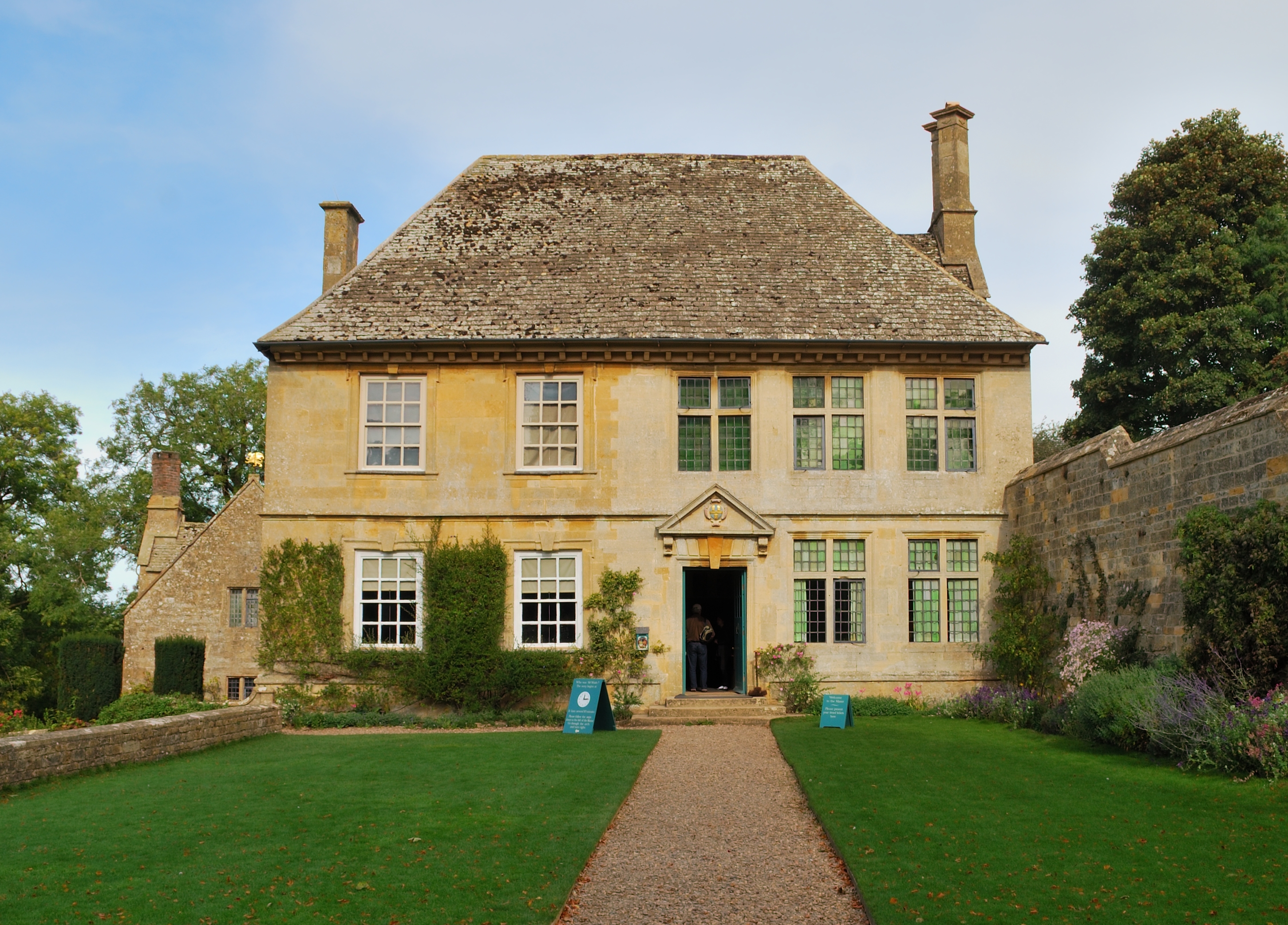
Snowshill Manor

Snowshill Manor is a National Trust property located in the village of Snowshill, Gloucestershire, United Kingdom. It is a sixteenth-century country house...

Broadway railway station

Broadway railway station is a railway station on the heritage Gloucestershire Warwickshire Railway in the village of Broadway in Worcestershire, England...

Nearby Amenities

Located within 500m of 52.022397,-1.8666367
Barrier: stile
Lat/Long: 52.0219877/-1.8612364
Barrier: stile
Lat/Long: 52.0219678/-1.8608359
Barrier: stile
Lat/Long: 52.0187528/-1.8684593
Barrier: stile
Lat/Long: 52.0218099/-1.8732873
Tourism: viewpoint
Lat/Long: 52.0204609/-1.8661372
Barrier: stile
Lat/Long: 52.0205189/-1.869897
Barrier: stile
Lat/Long: 52.0223654/-1.8685014
Barrier: stile
Lat/Long: 52.0243813/-1.8656653
Barrier: stile
Lat/Long: 52.0256748/-1.8650192
Power: pole
Lat/Long: 52.0204444/-1.872723
Power: pole
Lat/Long: 52.0211133/-1.8729208
Power: pole
Lat/Long: 52.0217764/-1.873126
Material: wood
Power: pole
Lat/Long: 52.0225823/-1.8733943
Material: wood
Power: pole
Lat/Long: 52.0233819/-1.873643
The data included in this document is from www.openstreetmap.org. The data is made available under ODbL.

Have you been to Lybrook Coppice?

Leave your review of Lybrook Coppice below (or comments, questions and feedback).