Consett High Wood

Wood, Forest in Durham

England

Consett High Wood

Consett and Sunderland cycle path The Consett and Sunderland railway path is a component of the C2C cycle route, and carries large numbers of recreational cyclists throughout the year. This section runs between Lydgett Junction and the Consett By-pass
Consett and Sunderland cycle path Credit: Oliver Dixon

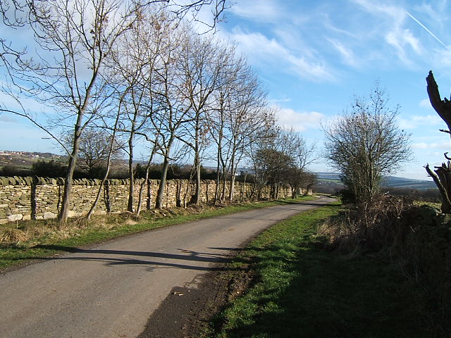
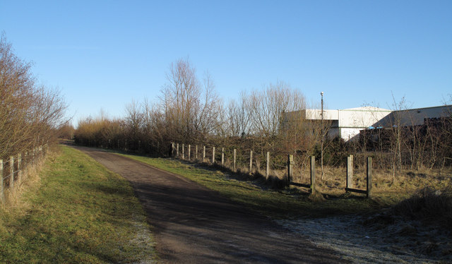
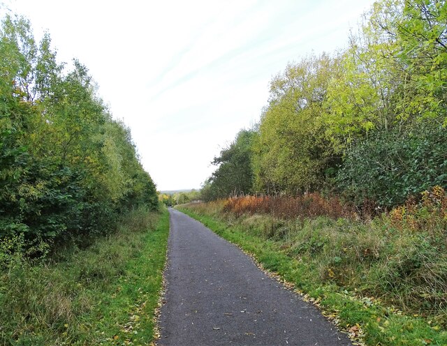
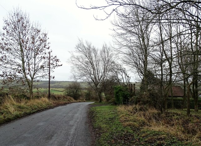
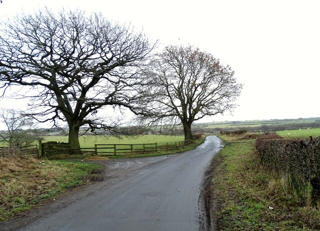
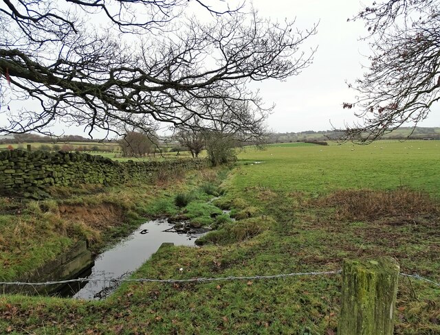
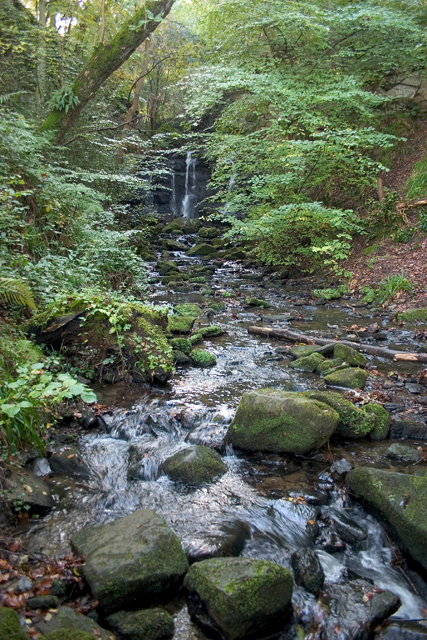
Consett High Wood is a picturesque woodland located in Durham, England. Situated near the town of Consett, this woodland covers a vast area and is known for its natural beauty and diverse ecosystem. The wood is part of the larger Derwent Valley Woods, which is a Site of Special Scientific Interest (SSSI) due to its significant ecological value.

Consett High Wood is mainly composed of broadleaf trees, including oak, birch, and beech. These trees provide a dense canopy, creating a shady and tranquil atmosphere within the wood. The forest floor is covered with a rich carpet of ferns, mosses, and wildflowers, adding to the wood's natural charm.

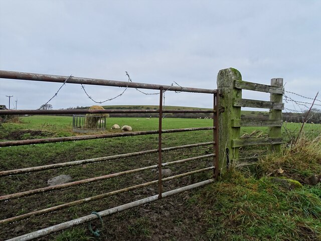
The wood is home to a wide range of wildlife, making it a popular spot for nature enthusiasts. Visitors can spot various bird species, such as woodpeckers, owls, and warblers, as well as small mammals like squirrels and rabbits. The wood also provides habitat for numerous insects and amphibians.

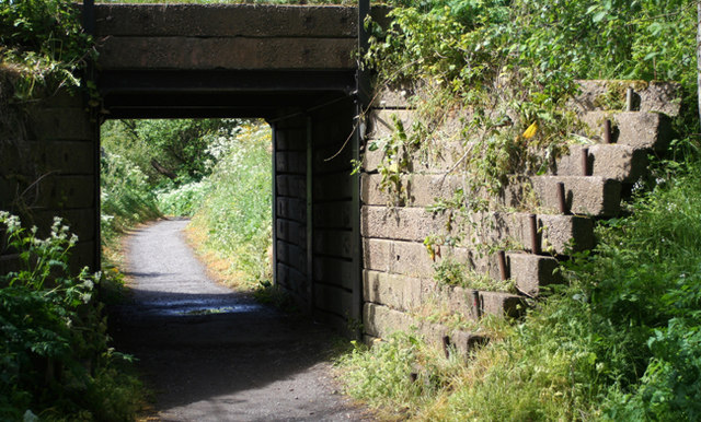
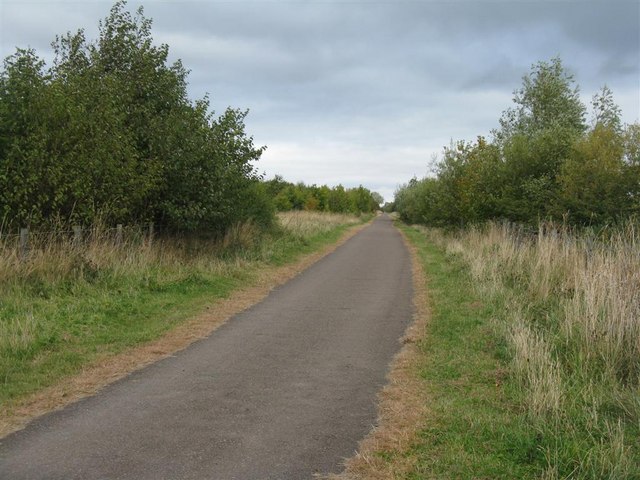
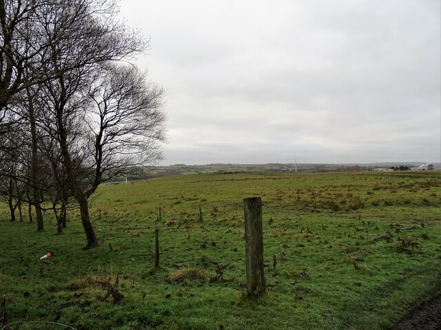
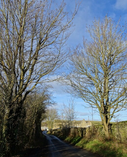
There are several walking trails that wind through Consett High Wood, allowing visitors to explore its beauty at their own pace. These paths offer stunning views of the surrounding countryside and provide opportunities for peaceful walks, picnics, and photography.

Consett High Wood is managed by local conservation organizations, ensuring its protection and preservation for future generations. It serves as an important green space for the local community, offering a peaceful retreat from the hustle and bustle of everyday life. Whether you are a nature lover, a hiker, or simply seeking tranquility, Consett High Wood is a must-visit destination in Durham.

If you have any feedback on the listing, please let us know in the comments section below.

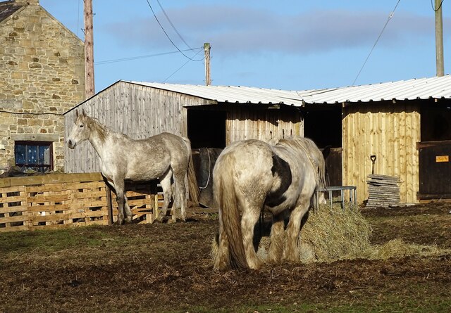
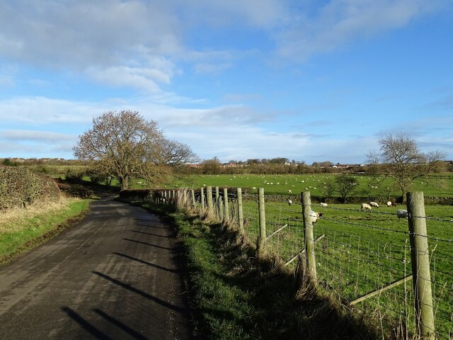
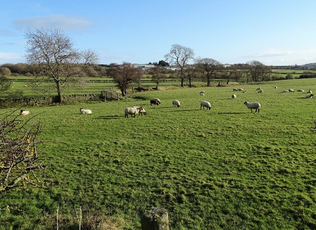
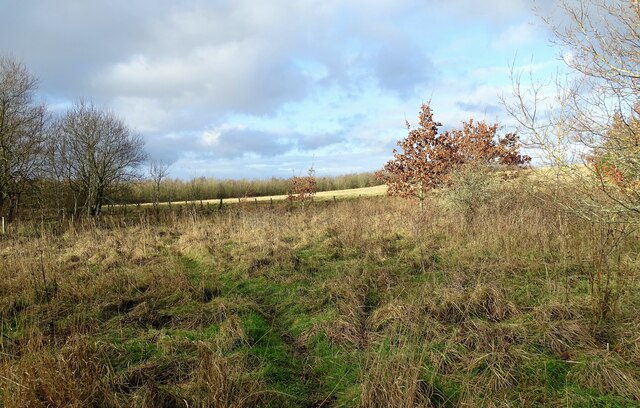
Consett High Wood Images

Images are sourced within 2km of 54.840459/-1.8575454 or Grid Reference NZ0949. Thanks to Geograph Open Source API. All images are credited.

Consett and Sunderland cycle path The Consett and Sunderland railway path is a component of the C2C cycle route, and carries large numbers of recreational cyclists throughout the year. This section runs between Lydgett Junction and the Consett By-pass
Consett and Sunderland cycle path
The Consett and Sunderland railway path is a component of the C2C cycle route, and carries large numbers of recreational cyclists throughout the year. This section runs between Lydgett Junction and the Consett By-pass
Tidy work The wall here has been very nicely rebuilt in recent times.
Tidy work
The wall here has been very nicely rebuilt in recent times.
Bridge A bridge over the cycleway that runs along the trackbed of the old railway line.
Bridge
A bridge over the cycleway that runs along the trackbed of the old railway line.
The Consett and Sunderland Cyclepath NCN 7, looking east from near Lydgate.
The Consett and Sunderland Cyclepath
NCN 7, looking east from near Lydgate.
Knitsley Lane, Templetown
Consett & Sunderland Railway Path The Consett and Sunderland Railway Path is seen north-east of Lydgetts Junction. The factory in view is the premises of International Cuisine which prepares ready meals for a number of supermarkets.
Consett & Sunderland Railway Path
The Consett and Sunderland Railway Path is seen north-east of Lydgetts Junction. The factory in view is the premises of International Cuisine which prepares ready meals for a number of supermarkets.
Autumn view down the railway path Looking south along the Sunderland and Consett Railway Path.
Autumn view down the railway path
Looking south along the Sunderland and Consett Railway Path.
Looking down Knitsley Lane View south down this lane which leads out into the countryside south of Consett.
Looking down Knitsley Lane
View south down this lane which leads out into the countryside south of Consett.
Winter trees on Knitsley Lane View looking south down this country lane leading south from Consett.
Winter trees on Knitsley Lane
View looking south down this country lane leading south from Consett.
Fields beside Knitsley Lane Looking across the fields to the east of the road. Most of the land around hear is used for grazing.
Fields beside Knitsley Lane
Looking across the fields to the east of the road. Most of the land around hear is used for grazing.
Stream beside Knitsley Lane This little stream is the Backgill Burn which flows under the road here in a culvert and then across the fields to Knitsley. There, it becomes part of the Smallhope Burn.
Stream beside Knitsley Lane
This little stream is the Backgill Burn which flows under the road here in a culvert and then across the fields to Knitsley. There, it becomes part of the Smallhope Burn.
Field gate on Knitsley Lane Gateway to a grazing field on the east side of the lane.
Field gate on Knitsley Lane
Gateway to a grazing field on the east side of the lane.
Fields beside Knitsley Lane View across the fields to the west of the road. There is a view here all the way to the North Pennine moors. Howngill Industrial Estate is on the far right of the picture.
Fields beside Knitsley Lane
View across the fields to the west of the road. There is a view here all the way to the North Pennine moors. Howngill Industrial Estate is on the far right of the picture.
Trees beside the lane at Knitsley Looking west along the lane to High Knitsley Farm.
Trees beside the lane at Knitsley
Looking west along the lane to High Knitsley Farm.
Horses in winter quarters At High Knitsley farm.
Horses in winter quarters
At High Knitsley farm.
Knitsley Lane in winter Bare winter trees in the fields to the west of the lane. View looking north towards Delves Lane.
Knitsley Lane in winter
Bare winter trees in the fields to the west of the lane. View looking north towards Delves Lane.
Sheep pastures at Knitsley Grazing fields west of Knitsley Lane, south of Consett.
Sheep pastures at Knitsley
Grazing fields west of Knitsley Lane, south of Consett.
Rough grass verge beside the old railway North side of the Consett and Sunderland Railway Path.
Rough grass verge beside the old railway
North side of the Consett and Sunderland Railway Path.
Show me another place!

Consett High Wood is located at Grid Ref: NZ0949 (Lat: 54.840459, Lng: -1.8575454)

Unitary Authority: County Durham

Police Authority: Durham

What 3 Words

///tribe.locker.enter. Near Castleside, Co. Durham

Nearby Locations

Consett High Wood

Related Wikis

Hownsgill Viaduct

The Hownsgill Viaduct (in some sources called Hownes Gill Viaduct and locally called the Gill bridge) is a former railway bridge located west of Consett...

The Grove, County Durham

The Grove is a village in County Durham, in England. It is situated to the south of Consett. The Grove is a post-World War II housing estate. Originally...

Consett Academy

Consett Academy is a secondary academy school in Consett, the result of a merger between Consett Community Sports College and Moorside Community Technology...

Consett Power Station

Consett Power Station refers to numerous, now demolished coal-fired power stations situated on various sites around Consett in County Durham, North East...

Castleside

Castleside is a village in County Durham, England. It is situated a short distance to the south-west of Consett. Castleside is covered by the civil parish...

Allensford

Allensford is a small country park and hamlet in County Durham, in England. It is on the River Derwent, about 2 miles SW of Consett, and 1 mile north...

Rowley railway station (England)

Rowley railway station served the hamlet of Rowley and the village of Castleside in County Durham, England from 1845 to 1966 on the Derwent Railway....

Derwentside College

Derwentside College is a further education college based in Consett, County Durham, England. It is the major provider of vocational post-16 education and...

Nearby Amenities

Located within 500m of 54.840459,-1.8575454
Bus Stop
Co-op. Store
Naptan AtcoCode: 13001718B
Naptan Bearing: NE
Naptan CommonName: Co-op. Store
Naptan Indicator: north east bound
Naptan Landmark: Landmark not known
Naptan NaptanCode: durajdgm
Naptan Notes: On A692 to side of junction with Thomfield road- Moorside
Naptan Street: A692
Naptan Verified: no
Source: naptan_import
Lat/Long: 54.8425591/-1.857643
Bus Stop
Co-op. Store
Naptan AtcoCode: 13001718E
Naptan Bearing: S
Naptan CommonName: Co-op. Store
Naptan Indicator: south bound
Naptan Landmark: Landmark not known
Naptan NaptanCode: durajdgp
Naptan Notes: Opposite no 70 Pemberton avenue- Moorside
Naptan Street: Pemberton Avenue
Naptan Verified: no
Source: naptan_import
Lat/Long: 54.84307/-1.8565667
Bus Stop
28 Dunelm Road
Naptan AtcoCode: 13001719D
Naptan Bearing: SE
Naptan BusStopType: MKD
Naptan CommonName: 28 Dunelm Road
Naptan Indicator: south east bound
Naptan Landmark: Landmark not known
Naptan NaptanCode: durajdgt
Naptan Notes: On Dunhelm road opposite the side of no 2 Surrey Crescent- Moorside
Naptan Street: Dunelm Road
Naptan Verified: no
Shelter: yes
Source: naptan_import
Lat/Long: 54.842169/-1.8622536
Bus Stop
3 Dunelm Road
Naptan AtcoCode: 13001719H
Naptan Bearing: NW
Naptan BusStopType: MKD
Naptan CommonName: 3 Dunelm Road
Naptan Indicator: north west bound
Naptan Landmark: Landmark not known
Naptan NaptanCode: durajdgw
Naptan Notes: in front of Garden to side of N0o 3 Dunelm Road- Moorside
Naptan Street: Dunelm Road
Naptan Verified: no
Source: naptan_import
Lat/Long: 54.8413675/-1.8608237
Bus Stop
Post Office
Naptan AtcoCode: 13001726B
Naptan Bearing: NE
Naptan CommonName: Post Office
Naptan Indicator: north east bound
Naptan Landmark: Landmark not known
Naptan NaptanCode: durajdmt
Naptan Notes: opposite No 11 Consett park terrce on A692- Moorside
Naptan Street: A692
Naptan Verified: no
Source: naptan_import
Lat/Long: 54.839582/-1.86329
Bus Stop
Post Office
Naptan AtcoCode: 13001726F
Naptan Bearing: SW
Naptan CommonName: Post Office
Naptan Indicator: south west bound
Naptan Landmark: Landmark not known
Naptan NaptanCode: durajdmw
Naptan Notes: In front of no 17 of Consett Park terrace- Moorside
Naptan Street: A692
Naptan Verified: no
Source: naptan_import
Lat/Long: 54.8392679/-1.8636804
Mini Roundabout
Direction: clockwise
Lat/Long: 54.8442617/-1.8549152
Traffic Calming: hump
Lat/Long: 54.8411524/-1.86477
Noexit: yes
Lat/Long: 54.840398/-1.8621169
Crossing
Crossing Island: yes
Tactile Paving: yes
Lat/Long: 54.8418714/-1.8591753
Turning Circle
Lat/Long: 54.8401503/-1.8593261
Barrier: swing_gate
Foot: yes
Lat/Long: 54.8395556/-1.8590109
Noexit: yes
Lat/Long: 54.8391265/-1.863398
Power: pole
Lat/Long: 54.840833/-1.8584798
Power: pole
Lat/Long: 54.840219/-1.8595252
Power: pole
Lat/Long: 54.8397418/-1.8604124
Power: pole
Lat/Long: 54.8392822/-1.8612412
Power: pole
Lat/Long: 54.8388405/-1.8620378
Power: pole
Lat/Long: 54.8382628/-1.863057
Traffic Calming: bump
Lat/Long: 54.844036/-1.8577082
Traffic Calming: bump
Lat/Long: 54.8429883/-1.8575511
Traffic Calming: hump
Lat/Long: 54.8446533/-1.8566734
Traffic Calming: hump
Lat/Long: 54.8438216/-1.8567543
Traffic Calming: bump
Lat/Long: 54.8430169/-1.8566103
Traffic Calming: cushion
Lat/Long: 54.8420092/-1.8644545
Traffic Calming: hump
Lat/Long: 54.8417203/-1.8628907
Traffic Calming: cushion
Lat/Long: 54.8422812/-1.8626409
Traffic Calming: cushion
Lat/Long: 54.8412371/-1.8604764
Traffic Calming: cushion
Lat/Long: 54.841842/-1.8617004
Generator Method: photovoltaic
Generator Source: solar
Generator Type: solar_photovoltaic_panel
Location: roof
Power: generator
Lat/Long: 54.8413303/-1.8601696
Generator Method: photovoltaic
Generator Source: solar
Generator Type: solar_photovoltaic_panel
Location: roof
Power: generator
Lat/Long: 54.8418694/-1.8627566
Generator Method: photovoltaic
Generator Source: solar
Generator Type: solar_photovoltaic_panel
Location: roof
Power: generator
Lat/Long: 54.8418122/-1.8630289
Generator Method: photovoltaic
Generator Source: solar
Generator Type: solar_photovoltaic_panel
Location: roof
Power: generator
Lat/Long: 54.8412006/-1.8637745
Generator Method: photovoltaic
Generator Source: solar
Generator Type: solar_photovoltaic_panel
Location: roof
Power: generator
Lat/Long: 54.841684/-1.8618447
Generator Method: photovoltaic
Generator Source: solar
Generator Type: solar_photovoltaic_panel
Location: roof
Power: generator
Lat/Long: 54.841596/-1.8620887
Generator Method: photovoltaic
Generator Source: solar
Generator Type: solar_photovoltaic_panel
Location: roof
Power: generator
Lat/Long: 54.8395201/-1.8645966
Generator Method: photovoltaic
Generator Source: solar
Generator Type: solar_photovoltaic_panel
Location: roof
Power: generator
Lat/Long: 54.8394892/-1.8645336
Generator Method: photovoltaic
Generator Source: solar
Generator Type: solar_photovoltaic_panel
Location: roof
Power: generator
Lat/Long: 54.8393923/-1.8639529
Generator Method: photovoltaic
Generator Source: solar
Generator Type: solar_photovoltaic_panel
Location: roof
Power: generator
Lat/Long: 54.8394637/-1.8635988
Barrier: bollard
Lat/Long: 54.8403752/-1.8646345
Addr City: Consett
Addr Housenumber: 18
Addr Postcode: DH8 8ET
Addr Street: Consett Park Terrace
Lat/Long: 54.8391185/-1.863745
Addr City: Consett
Addr Housenumber: 17
Addr Postcode: DH8 8ET
Addr Street: Consett Park Terrace
Lat/Long: 54.839154/-1.8636739
Addr City: Consett
Addr Housenumber: 16
Addr Postcode: DH8 8ET
Addr Street: Consett Park Terrace
Lat/Long: 54.8392498/-1.8635519
Addr City: Consett
Addr Housenumber: 15
Addr Postcode: DH8 8ET
Addr Street: Consett Park Terrace
Lat/Long: 54.839284/-1.8634751
Addr City: Consett
Addr Housenumber: 14
Addr Postcode: DH8 8ET
Addr Street: Consett Park Terrace
Lat/Long: 54.8393134/-1.8634091
Addr City: Consett
Addr Housenumber: 13
Addr Postcode: DH8 8ET
Addr Street: Consett Park Terrace
Lat/Long: 54.839349/-1.863329
Addr City: Consett
Addr Housenumber: 12
Addr Postcode: DH8 8ET
Addr Street: Consett Park Terrace
Lat/Long: 54.8393842/-1.8632501
Addr City: Consett
Addr Housenumber: 11
Addr Postcode: DH8 8ET
Addr Street: Consett Park Terrace
Lat/Long: 54.8394853/-1.8630356
Addr City: Consett
Addr Housenumber: 10
Addr Postcode: DH8 8ET
Addr Street: Consett Park Terrace
Lat/Long: 54.8395234/-1.8629514
Addr City: Consett
Addr Housenumber: 9
Addr Postcode: DH8 8ET
Addr Street: Consett Park Terrace
Lat/Long: 54.839559/-1.8628728
Addr City: Consett
Addr Housenumber: 8
Addr Postcode: DH8 8ET
Addr Street: Consett Park Terrace
Lat/Long: 54.8395909/-1.8628022
Addr City: Consett
Addr Housenumber: 7
Addr Postcode: DH8 8ET
Addr Street: Consett Park Terrace
Lat/Long: 54.8396265/-1.8627234
Addr City: Consett
Addr Housenumber: 6
Addr Postcode: DH8 8ET
Addr Street: Consett Park Terrace
Lat/Long: 54.8396601/-1.8626491
Addr City: Consett
Addr Housenumber: 5
Addr Postcode: DH8 8ET
Addr Street: Consett Park Terrace
Lat/Long: 54.8396895/-1.8625841
Addr City: Consett
Addr Housenumber: 4
Addr Postcode: DH8 8ET
Addr Street: Consett Park Terrace
Lat/Long: 54.8397146/-1.8625286
Addr City: Consett
Addr Housenumber: 3
Addr Postcode: DH8 8ET
Addr Street: Consett Park Terrace
Lat/Long: 54.8397497/-1.862451
Addr City: Consett
Addr Housenumber: 2
Addr Postcode: DH8 8ET
Addr Street: Consett Park Terrace
Lat/Long: 54.8397839/-1.8623755
Addr City: Consett
Addr Housenumber: 1
Addr Postcode: DH8 8ET
Addr Street: Consett Park Terrace
Lat/Long: 54.8398159/-1.8623047
Generator Method: photovoltaic
Generator Source: solar
Generator Type: solar_photovoltaic_panel
Location: roof
Power: generator
Lat/Long: 54.8416856/-1.8648233
Noexit: yes
Lat/Long: 54.8395286/-1.8639261
Noexit: yes
Lat/Long: 54.8400402/-1.8648695
Noexit: yes
Lat/Long: 54.8400333/-1.8648849
Noexit: yes
Lat/Long: 54.8398889/-1.8649735
Noexit: yes
Lat/Long: 54.8398835/-1.8651538
Noexit: yes
Lat/Long: 54.8405878/-1.8632689
Noexit: yes
Lat/Long: 54.8406403/-1.8633386
Noexit: yes
Lat/Long: 54.8401542/-1.862933
Noexit: yes
Lat/Long: 54.8442834/-1.8578991
Disused Amenity: fast_food
Old Name: The Golden Chippy
Lat/Long: 54.841728/-1.8596667
Parking
Access: customers
Parking: surface
Surface: unpaved
Lat/Long: 54.8418485/-1.8596372
Defibrillator
Access: yes
Emergency: defibrillator
Indoor: no
Ref GB The Circuit: BB862708-2693-4D51-81D3-ADB40089FA79
Lat/Long: 54.839716/-1.8630972
Post Box
Operator: Royal Mail
Post Box Type: pillar
Lat/Long: 54.8393819/-1.8637048
Post Office
Deneburn Post Office
Addr Postcode: DH8 8BD
Ref Pol Id: 149233
Website: https://www.postoffice.co.uk/branch-finder/5673291/deneburn
Lat/Long: 54.8436671/-1.8535452
Crossing
Crossing: unmarked
Crossing Island: no
Tactile Paving: yes
Lat/Long: 54.8432019/-1.8548729
Post Box
Operator: Royal Mail
Post Box Type: pillar
Lat/Long: 54.8432903/-1.8549889
Pharmacy
Moorside Pharmacy
Addr Postcode: DH8 8ET
Dispensing: yes
Lat/Long: 54.8396831/-1.8632448
Doctors
Moorside Surgery
Addr Postcode: DH8 8ET
Operator: Queens Road Surgery
Website: https://queensroadsurgery.co.uk/
Lat/Long: 54.839741/-1.8631375
The data included in this document is from www.openstreetmap.org. The data is made available under ODbL.

Have you been to Consett High Wood?

Leave your review of Consett High Wood below (or comments, questions and feedback).