Pye Corner Coppice

Wood, Forest in Worcestershire Wychavon

England

Pye Corner Coppice

Isolated bungalow near Broadway Country Park Photographed from a public foot path. Note the 'fox' on top of the chimney.
Isolated bungalow near Broadway Country Park Credit: Chris Allen

Pye Corner Coppice is a beautiful woodland located in Worcestershire, England. Covering an area of approximately 50 acres, it is a popular destination for nature lovers and outdoor enthusiasts. The coppice is situated near the village of Wyre Piddle, nestled between the River Avon and the picturesque Wyre Forest.

The woodland is characterized by its diverse range of tree species, including oak, ash, beech, and birch. These majestic trees create a dense canopy, providing shelter for a variety of wildlife. Visitors can explore the winding paths that meander through the coppice, offering a tranquil and peaceful atmosphere.

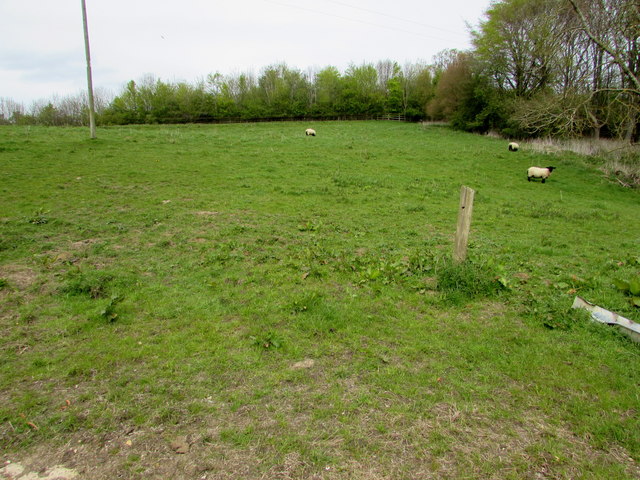
Pye Corner Coppice is also home to a rich variety of flora and fauna. Wildflowers such as bluebells, primroses, and wood anemones can be found carpeting the forest floor during the spring months, while ferns and mosses thrive in the damp and shady areas. Birdwatchers will be delighted to spot species such as woodpeckers, owls, and warblers, while lucky visitors may even catch a glimpse of elusive mammals like deer and foxes.

The coppice has a long history, with evidence of human habitation dating back centuries. It was traditionally used for coppicing, a traditional method of woodland management, where trees were cut to ground level to promote new growth. Today, the woodland is managed by local conservation groups, ensuring its continued preservation and protection.

With its natural beauty and rich biodiversity, Pye Corner Coppice offers a wonderful opportunity to immerse oneself in the enchanting Worcestershire countryside. Whether it is a leisurely walk, birdwatching, or simply enjoying the serenity of the surroundings, this woodland is a hidden gem waiting to be explored.

If you have any feedback on the listing, please let us know in the comments section below.

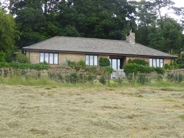
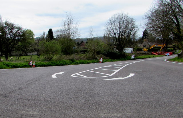
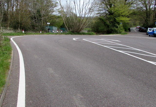
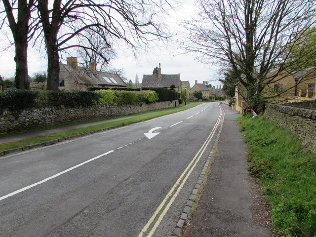
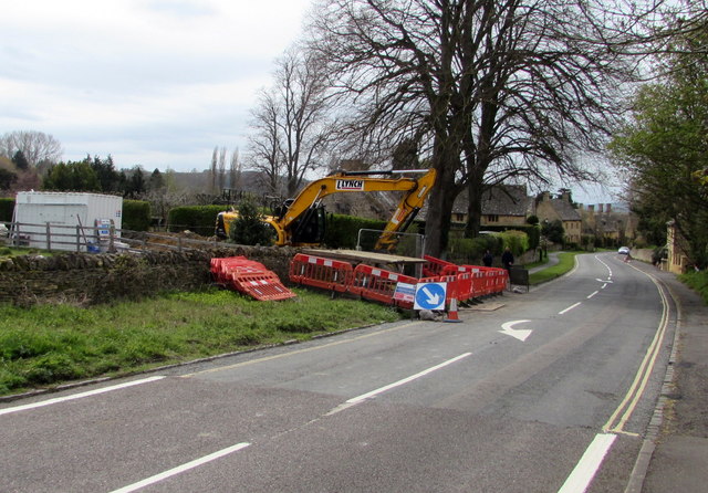
Pye Corner Coppice Images

Images are sourced within 2km of 52.026589/-1.8688834 or Grid Reference SP0936. Thanks to Geograph Open Source API. All images are credited.

Isolated bungalow near Broadway Country Park Photographed from a public foot path. Note the 'fox' on top of the chimney.
Isolated bungalow near Broadway Country Park
Photographed from a public foot path. Note the 'fox' on top of the chimney.
Turning area at the eastern end of High Street, Broadway Broadway's High Street east of Leamington Road is a dead end street for motor vehicles. 
Several tourist coaches passed me today as I was approaching this turning area.
For them, using this area was the easiest way to turn around on High Street.
Turning area at the eastern end of High Street, Broadway
Broadway's High Street east of Leamington Road is a dead end street for motor vehicles. Several tourist coaches passed me today as I was approaching this turning area. For them, using this area was the easiest way to turn around on High Street.
Thames Water van in Severn Trent Water territory, Broadway I don't know where the northern edge of the Thames Water area is, but it must be some way south of this point in SE Worcestershire. The Thames Water  van is parked near an entrance <a title="https://www.geograph.org.uk/photo/4932597" href="https://www.geograph.org.uk/photo/4932597">Link</a> to a Severn Trent Water site.
Thames Water van in Severn Trent Water territory, Broadway
I don't know where the northern edge of the Thames Water area is, but it must be some way south of this point in SE Worcestershire. The Thames Water van is parked near an entrance Link to a Severn Trent Water site.
Sheep in a Broadway field Viewed from a field gate on the north side of the turning area <a title="https://www.geograph.org.uk/photo/4932544" href="https://www.geograph.org.uk/photo/4932544">Link</a> at the eastern end of High Street.
Sheep in a Broadway field
Viewed from a field gate on the north side of the turning area Link at the eastern end of High Street.
Eastern end of High Street, Broadway High Street Broadway ends at this turning area. 
On the right, the narrow road beyond the turning area is a dead end.
Eastern end of High Street, Broadway
High Street Broadway ends at this turning area. On the right, the narrow road beyond the turning area is a dead end.
White arrow on High Street, Broadway On the approach to the turning area <a title="https://www.geograph.org.uk/photo/4932544" href="https://www.geograph.org.uk/photo/4932544">Link</a> at the eastern end of High Street.
White arrow on High Street, Broadway
On the approach to the turning area Link at the eastern end of High Street.
Flood alleviation work at the eastern end of High Street, Broadway Viewed on May 1st 2016. A nearby temporary sign shows
Flood alleviation work on behalf of Worcestershire Highways.
Flood alleviation work at the eastern end of High Street, Broadway
Viewed on May 1st 2016. A nearby temporary sign shows Flood alleviation work on behalf of Worcestershire Highways.
L Lynch excavator at the edge of High Street, Broadway Viewed on May 1st 2016. A nearby temporary sign shows
Flood alleviation work on behalf of Worcestershire Highways.
L Lynch (Lynch Plant Hire) are specialists who provide self-drive and operated 
plant hire to a variety of sectors within the construction industry.
L Lynch excavator at the edge of High Street, Broadway
Viewed on May 1st 2016. A nearby temporary sign shows Flood alleviation work on behalf of Worcestershire Highways. L Lynch (Lynch Plant Hire) are specialists who provide self-drive and operated plant hire to a variety of sectors within the construction industry.
Colletts Fields, Broadway From Leamington Road, the road named Colletts Fields leads to Orchard Avenue and Colletts Gardens.
Colletts Fields, Broadway
From Leamington Road, the road named Colletts Fields leads to Orchard Avenue and Colletts Gardens.
Wells Gardens, Broadway The road named Wells Gardens extends for 120 metres from Leamington Road to Orchard Avenue.
Wells Gardens, Broadway
The road named Wells Gardens extends for 120 metres from Leamington Road to Orchard Avenue.
Sheldon Avenue, Broadway Dead end road extending for 80 metres from Sandscroft Avenue, on the east side of Leamington Road.
Sheldon Avenue, Broadway
Dead end road extending for 80 metres from Sandscroft Avenue, on the east side of Leamington Road.
Sandscroft Avenue, Broadway From the corner of Sheldon Avenue, on the east side of Leamington Road.
Sandscroft Avenue, Broadway
From the corner of Sheldon Avenue, on the east side of Leamington Road.
Long row of lockup garages behind the Sheldon Avenue turning circle, Broadway At the southeast end of Sheldon Avenue.
Long row of lockup garages behind the Sheldon Avenue turning circle, Broadway
At the southeast end of Sheldon Avenue.
Broadway Youth Club banner and Aria Dance Company banner on a Broadway gate Facing Leamington Road. Broadway Youth Club meets in Broadway Youth Centre, adjacent to Broadway First School in Lime Tree Avenue. The Youth Centre is also the venue of Aria Dance Company (for children ages 5-14).
Broadway Youth Club banner and Aria Dance Company banner on a Broadway gate
Facing Leamington Road. Broadway Youth Club meets in Broadway Youth Centre, adjacent to Broadway First School in Lime Tree Avenue. The Youth Centre is also the venue of Aria Dance Company (for children ages 5-14).
Broadway First School, Broadway Primary school on the north side of Lime Tree Avenue, viewed from the corner of Leamington Road.
Broadway First School, Broadway
Primary school on the north side of Lime Tree Avenue, viewed from the corner of Leamington Road.
Lime Tree Avenue, Broadway On the east side of Leamington Road. Broadway First School <a title="https://www.geograph.org.uk/photo/5212990" href="https://www.geograph.org.uk/photo/5212990">Link</a> is on the left.
Lime Tree Avenue, Broadway
On the east side of Leamington Road. Broadway First School Link is on the left.
Broadway First School name signs, Broadway Located on the left here. <a title="https://www.geograph.org.uk/photo/5212990" href="https://www.geograph.org.uk/photo/5212990">Link</a>
Broadway First School name signs, Broadway
Located on the left here. Link
Western entrance to Broadway First School, Broadway On the north side of Lime Tree Avenue, on the left here. <a title="https://www.geograph.org.uk/photo/5212990" href="https://www.geograph.org.uk/photo/5212990">Link</a>
Though overpainted, the word BOYS remains visible above the door. 
Relics of a bygone era, GIRLS and INFANTS are over the other two entrances in 2016.
Western entrance to Broadway First School, Broadway
On the north side of Lime Tree Avenue, on the left here. Link Though overpainted, the word BOYS remains visible above the door. Relics of a bygone era, GIRLS and INFANTS are over the other two entrances in 2016.
Show me another place!

Pye Corner Coppice is located at Grid Ref: SP0936 (Lat: 52.026589, Lng: -1.8688834)

Administrative County: Worcestershire

District: Wychavon

Police Authority: West Mercia

What 3 Words

///masterpiece.synthetic.whirlpool. Near Broadway, Worcestershire

Related Wikis

Buckland, Gloucestershire

Buckland is a village and civil parish in the borough of Tewkesbury, Gloucestershire, England. The parish, which also includes the village of Laverton...

Broadway War Memorial

The Broadway War Memorial is located on the village green in the village of Broadway in Worcestershire. The memorial marks the deaths of local individuals...
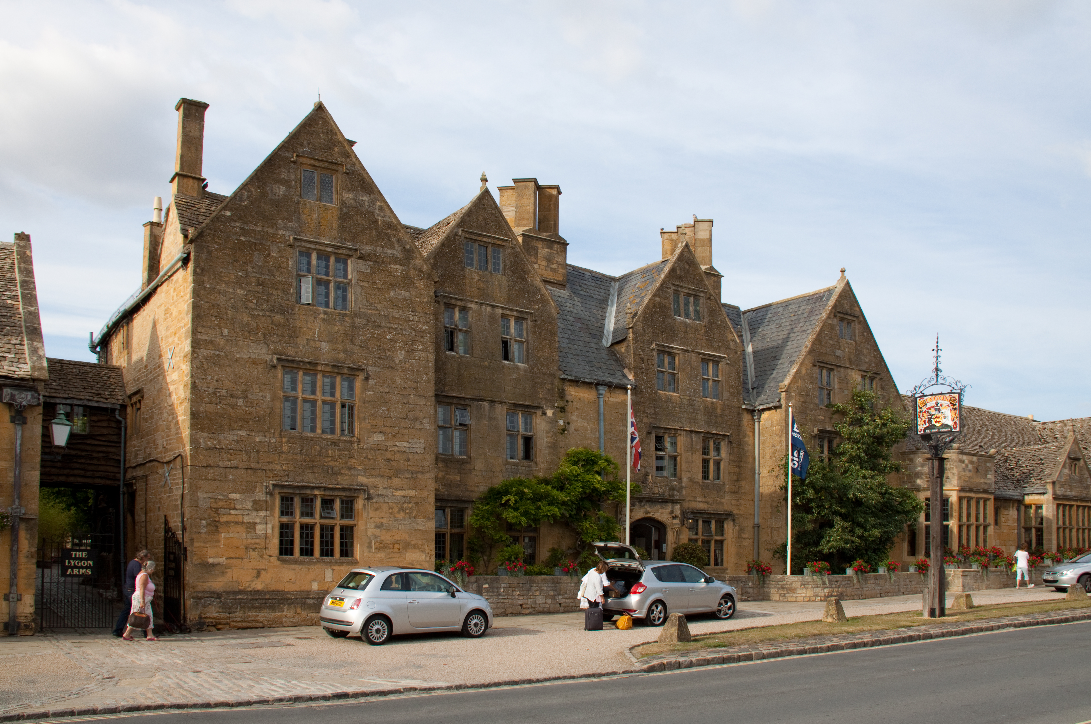
Lygon Arms

The Lygon Arms ( LIG-ən) is a Grade II* listed hotel in Broadway, Worcestershire, originally a coaching inn. The current building dates from the seventeenth...

Broadway, Worcestershire

Broadway is a large village and civil parish in the Cotswolds, England, with a population of 2,540 at the 2011 census. It is in the far southeast of Worcestershire...

Broadway railway station

Broadway railway station is a railway station on the heritage Gloucestershire Warwickshire Railway in the village of Broadway in Worcestershire, England...

Laverton, Gloucestershire

Laverton is a village in Tewkesbury Borough in Gloucestershire, England. It lies less than a mile south of the village of Buckland, and is in the civil...

Broadway Tower, Worcestershire

Broadway Tower is an 18th-century folly near the village of Broadway, in the English county of Worcestershire. It is a Grade II listed building.Broadway...

Childswickham

Childswickham is a village in Worcestershire, England, situated within the flat open landscape of the Vale of Evesham, between the Bredon and Cotswold...

Nearby Amenities

Located within 500m of 52.026589,-1.8688834
Barrier: kissing_gate
Lat/Long: 52.0281093/-1.8735954
Barrier: stile
Lat/Long: 52.0223654/-1.8685014
Barrier: stile
Lat/Long: 52.0243813/-1.8656653
Barrier: stile
Lat/Long: 52.0256748/-1.8650192
Barrier: kissing_gate
Lat/Long: 52.0281268/-1.8637628
Barrier: kissing_gate
Lat/Long: 52.0288591/-1.8628159
Material: wood
Power: pole
Lat/Long: 52.0233819/-1.873643
Material: wood
Power: pole
Lat/Long: 52.0241944/-1.8739247
Material: wood
Power: pole
Lat/Long: 52.0246875/-1.8750545
The data included in this document is from www.openstreetmap.org. The data is made available under ODbL.

Have you been to Pye Corner Coppice?

Leave your review of Pye Corner Coppice below (or comments, questions and feedback).