End, West
Settlement in Oxfordshire West Oxfordshire
England
End, West
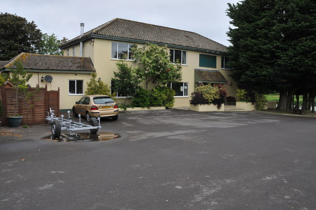
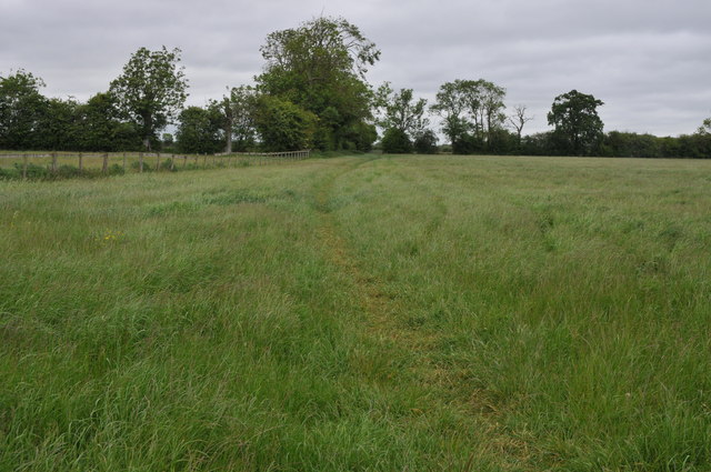
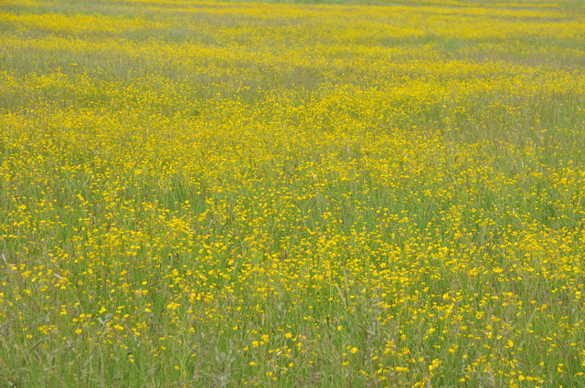
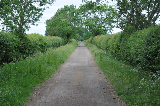
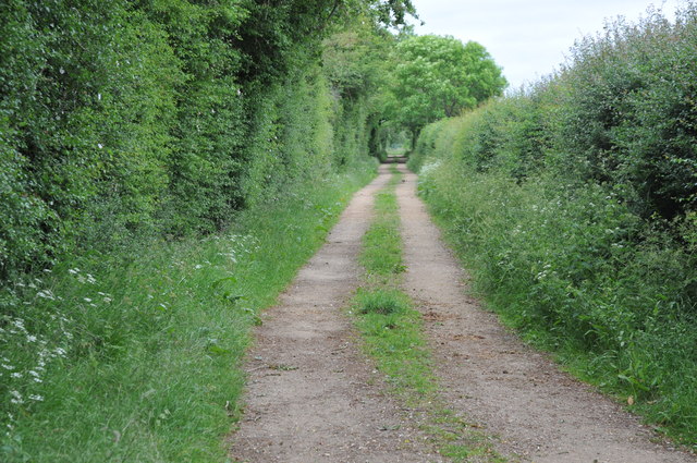
End is a small village located in West Oxfordshire, England. Situated near the larger towns of Witney and Oxford, End offers a peaceful and rural setting for its residents. The village is surrounded by picturesque countryside, characterized by rolling hills, open fields, and charming country lanes.
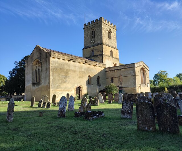
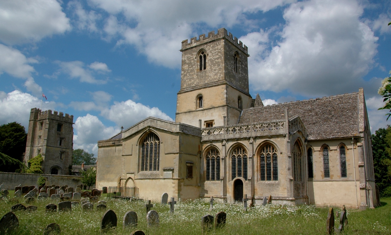
End is known for its historic architecture, with many buildings dating back several centuries. The village church, St. James the Great, is a prominent landmark and a testament to the area's rich history. The church features beautiful stained glass windows and a peaceful graveyard, providing a tranquil spot for reflection.
Despite its small size, End is a close-knit community, with a strong sense of community spirit. The village organizes various events throughout the year, including a summer fete and a harvest festival, bringing together residents of all ages.
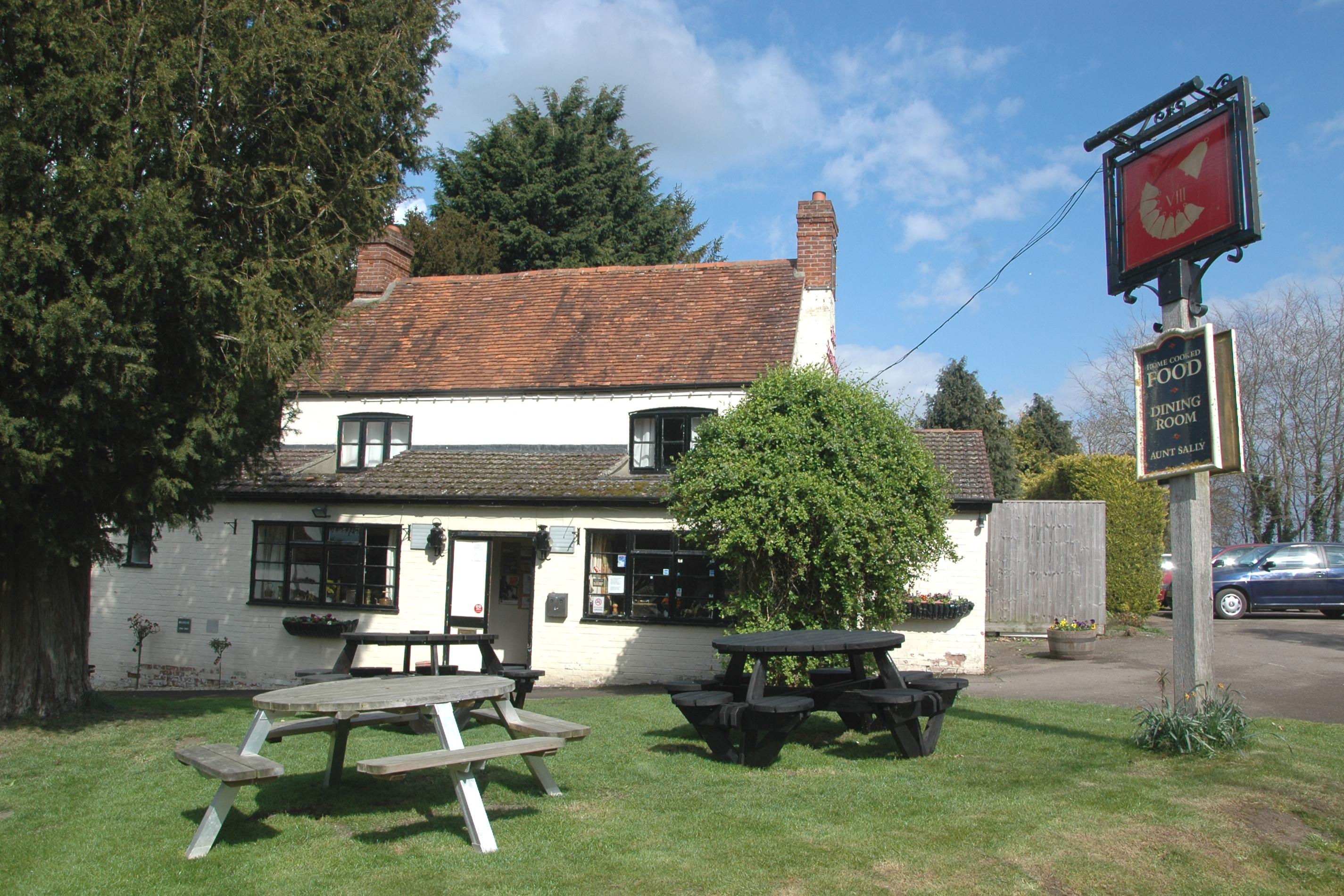
For amenities, End benefits from a local pub, The Red Lion, which serves traditional British food and ales. Nearby, the market town of Witney provides further amenities, including shops, supermarkets, and leisure facilities.
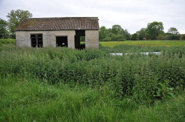
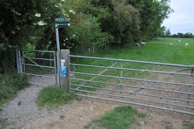
The surrounding area offers plenty of opportunities for outdoor activities, including walking, cycling, and horse riding. The Cotswolds, with its idyllic villages and beautiful landscapes, is within easy reach, making End an ideal base for exploring this popular tourist destination.
In summary, End is a charming and peaceful village in West Oxfordshire, offering a rich history, stunning natural surroundings, and a strong sense of community.
If you have any feedback on the listing, please let us know in the comments section below.
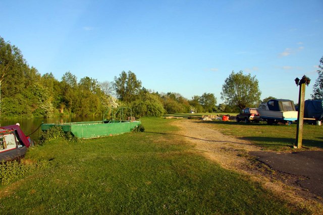
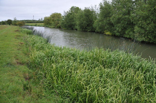
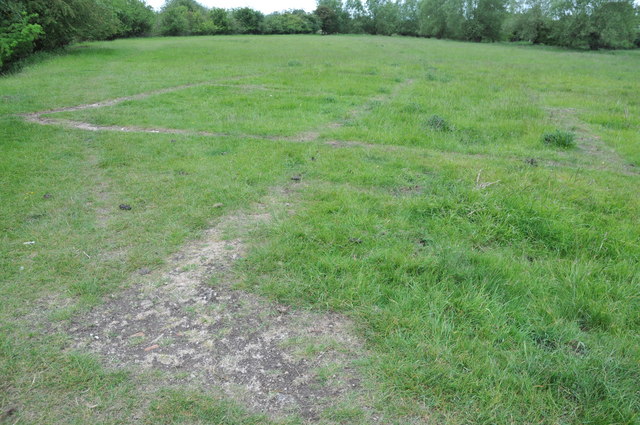
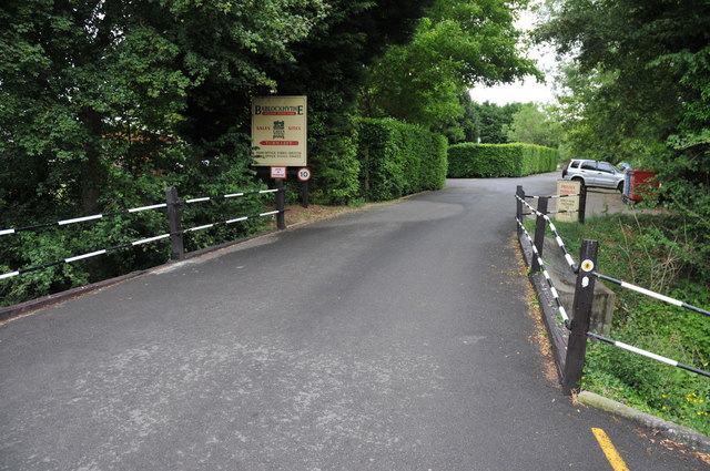
End, West Images
Images are sourced within 2km of 51.735921/-1.3875031 or Grid Reference SP4204. Thanks to Geograph Open Source API. All images are credited.

End, West is located at Grid Ref: SP4204 (Lat: 51.735921, Lng: -1.3875031)
Administrative County: Oxfordshire
District: West Oxfordshire
Police Authority: Thames Valley
What 3 Words
///rises.inserted.conspired. Near Standlake, Oxfordshire
Related Wikis

Bablock Hythe
Bablock Hythe is a hamlet in Oxfordshire, England, some five miles (8 km) west of Oxford city centre. There was a ferry across the River Thames at Bablock...

Devil's Quoits
The Devil's Quoits (grid reference SP411048) is a henge and stone circle to the south of the village of Stanton Harcourt in Oxfordshire, England. The site...

Northmoor, Oxfordshire
Northmoor is a village and civil parish in West Oxfordshire, about 6 miles (10 km) west of Oxford and almost the same distance southeast of Witney. Northmoor...

RAF Stanton Harcourt
Royal Air Force Stanton Harcourt or more simply RAF Stanton Harcourt is a former Royal Air Force satellite station located 4.4 miles (7.1 km) southeast...
Stanton Harcourt
Stanton Harcourt is a village and civil parish in Oxfordshire about 4 miles (6.4 km) southeast of Witney and about 6 miles (10 km) west of Oxford. The...

Northmoor Lock
Northmoor Lock is a lock on the River Thames in Oxfordshire, England, on the northern bank about a mile from Northmoor. The lock was built in 1896 by the...
Eaton, Oxfordshire
Eaton is a hamlet about 4+1⁄2 miles (7 km) west of Oxford and about 5 miles (8 km) northwest of Abingdon. Eaton is in the civil parish of Appleton-with...
Appleton-with-Eaton
Appleton-with-Eaton is a civil parish in the Vale of White Horse district of Oxfordshire, England, south west of Oxford. Historically it was part of Berkshire...
Nearby Amenities
Located within 500m of 51.735921,-1.3875031Have you been to End, West?
Leave your review of End, West below (or comments, questions and feedback).