West End
Settlement in Oxfordshire West Oxfordshire
England
West End
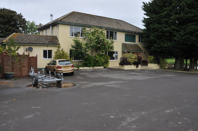
West End is a small village located in the county of Oxfordshire, England. Situated approximately 5 miles west of the city of Oxford, it forms part of the larger town of Witney. West End is predominantly a residential area, characterized by picturesque cottages and charming country houses.
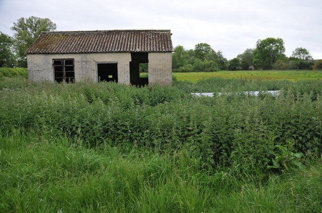
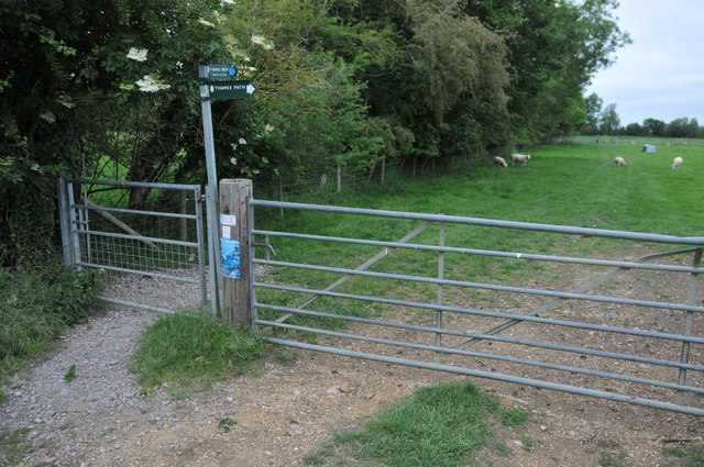
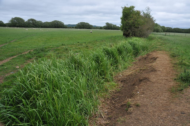
The village boasts a close-knit community and exudes a peaceful and tranquil atmosphere. Its quiet streets are lined with trees and well-maintained gardens, providing residents with a pleasant environment to live in. The surrounding countryside offers stunning views of rolling hills and verdant fields, adding to the village's appeal.
West End benefits from its proximity to Oxford, which provides residents with access to a wide range of amenities and services. The city offers excellent shopping opportunities, cultural attractions, and educational institutions, including the prestigious University of Oxford.
For nature enthusiasts, West End is ideally located near several parks and nature reserves, such as Blenheim Palace Park, which is a short drive away. The park offers extensive grounds for leisurely walks, picnics, and outdoor activities.
Transport links in West End are well-developed, with regular bus services connecting the village to nearby towns and cities. The A40 road, one of the major routes in the area, also runs close by, providing easy access to other parts of Oxfordshire and beyond.
In summary, West End, Oxfordshire is a charming village that offers a peaceful and idyllic lifestyle, surrounded by natural beauty, while still benefiting from its proximity to the amenities and services of Oxford.
If you have any feedback on the listing, please let us know in the comments section below.
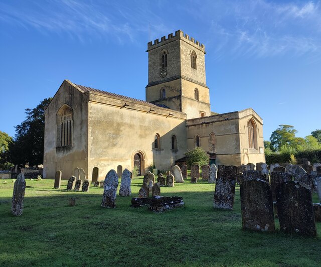
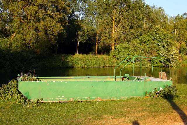
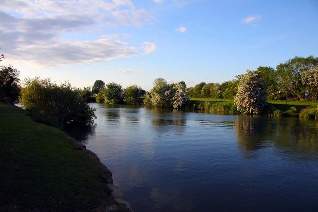
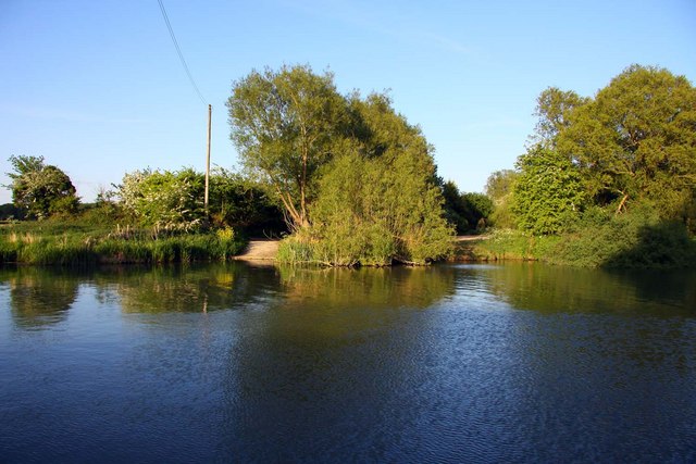
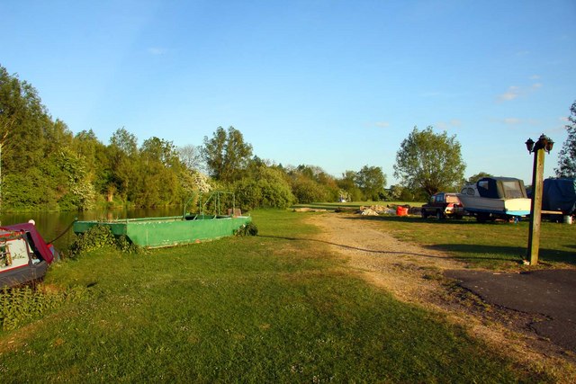
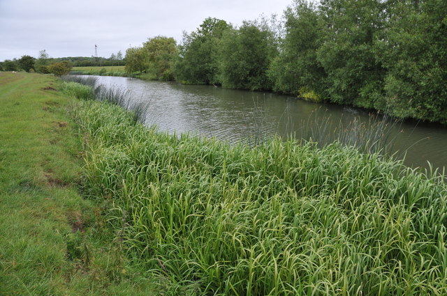
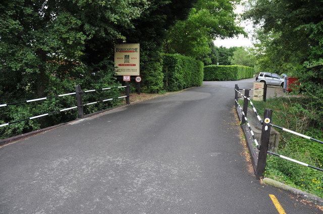
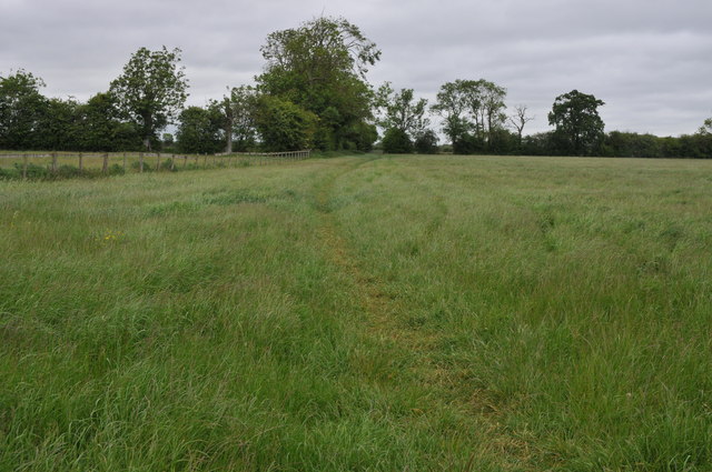
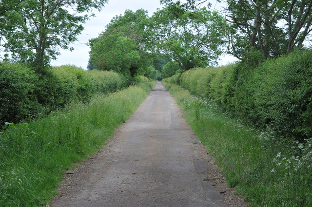
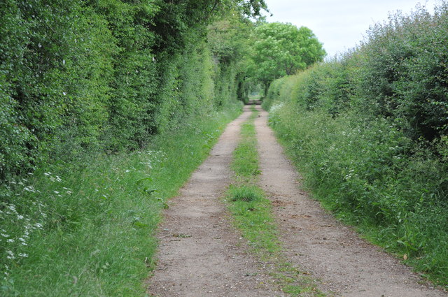
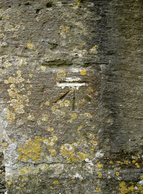
West End Images
Images are sourced within 2km of 51.735921/-1.3875031 or Grid Reference SP4204. Thanks to Geograph Open Source API. All images are credited.


West End is located at Grid Ref: SP4204 (Lat: 51.735921, Lng: -1.3875031)
Administrative County: Oxfordshire
District: West Oxfordshire
Police Authority: Thames Valley
What 3 Words
///rises.inserted.conspired. Near Standlake, Oxfordshire
Related Wikis

Bablock Hythe
Bablock Hythe is a hamlet in Oxfordshire, England, some five miles (8 km) west of Oxford city centre. There was a ferry across the River Thames at Bablock...

Devil's Quoits
The Devil's Quoits (grid reference SP411048) is a henge and stone circle to the south of the village of Stanton Harcourt in Oxfordshire, England. The site...

Northmoor, Oxfordshire
Northmoor is a village and civil parish in West Oxfordshire, about 6 miles (10 km) west of Oxford and almost the same distance southeast of Witney. Northmoor...

RAF Stanton Harcourt
Royal Air Force Stanton Harcourt or more simply RAF Stanton Harcourt is a former Royal Air Force satellite station located 4.4 miles (7.1 km) southeast...
Nearby Amenities
Located within 500m of 51.735921,-1.3875031Have you been to West End?
Leave your review of West End below (or comments, questions and feedback).