End, West
Settlement in Bedfordshire
England
End, West
End is a small village located in the West of Bedfordshire, England. Situated approximately 10 miles away from the town of Bedford, it is nestled amidst picturesque countryside and offers a tranquil setting for its residents. The village is part of the civil parish of Northill and is home to a close-knit community.
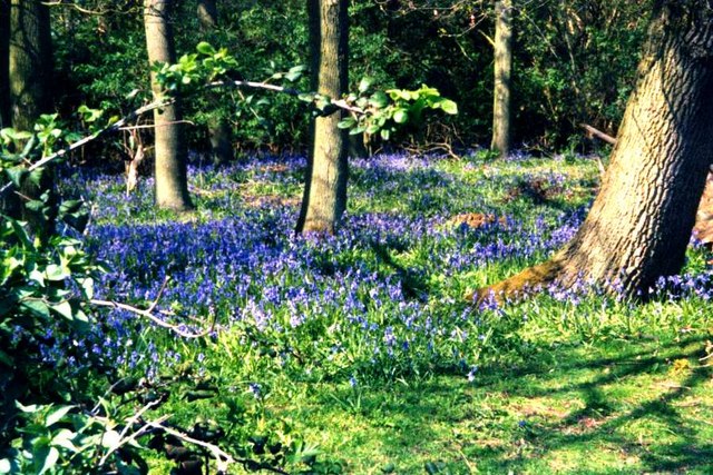
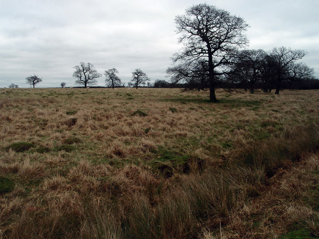
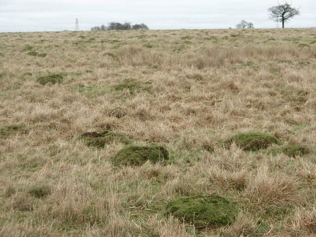
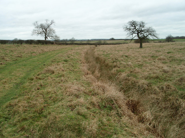
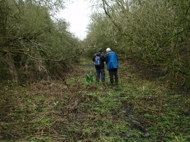
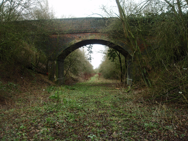
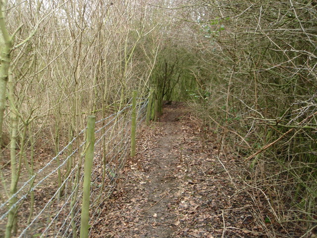
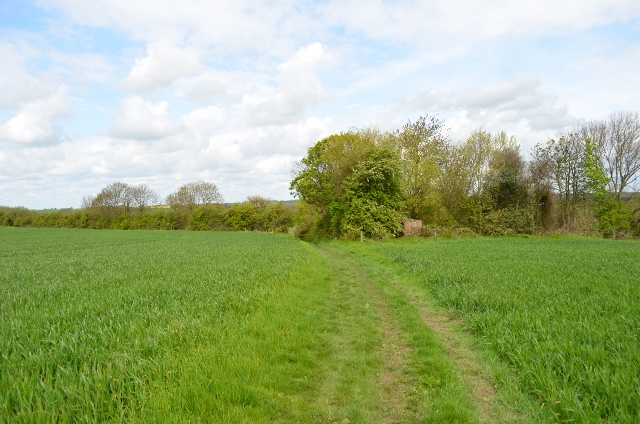
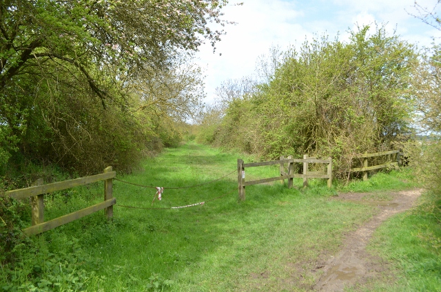
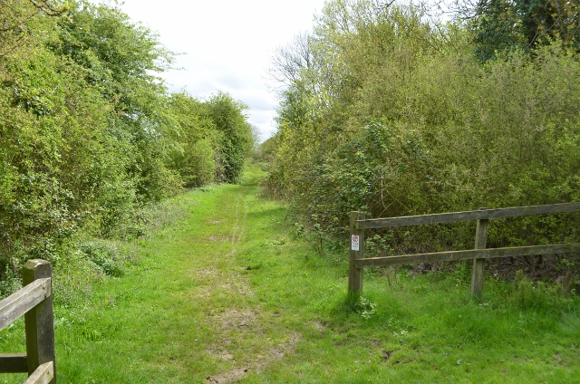
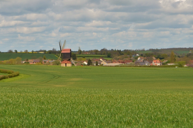
End is characterized by its charming rural landscape, with rolling hills and fields surrounding the village. The area is known for its agricultural heritage, and farming still plays a significant role in the local economy. As a result, the village enjoys a peaceful and idyllic atmosphere, making it an attractive destination for those seeking a quiet lifestyle.
Despite its small size, End boasts a rich history. The village is home to several historic buildings, including St. Mary's Church, which dates back to the 13th century. This architectural gem not only serves as a place of worship but also stands as a testament to the village's heritage.
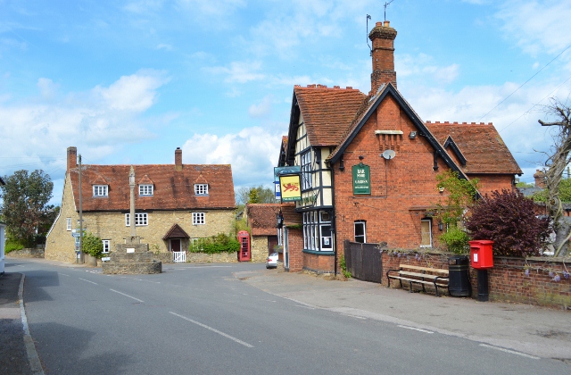
End offers limited amenities within its boundaries, with a small number of shops and services available to residents. However, being in close proximity to Bedford provides easy access to a wider range of facilities, including supermarkets, restaurants, and entertainment options.
The village is well-connected to surrounding areas through a network of roads, making it convenient for commuters and those looking to explore the wider region. Additionally, the natural beauty of the countryside surrounding End provides ample opportunities for outdoor activities such as hiking and cycling.
In summary, End, West Bedfordshire, is a quaint village with a rich history and a tranquil rural setting. It offers a peaceful lifestyle for its residents while still providing convenient access to nearby amenities and attractions.
If you have any feedback on the listing, please let us know in the comments section below.
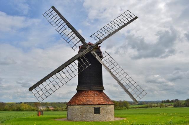
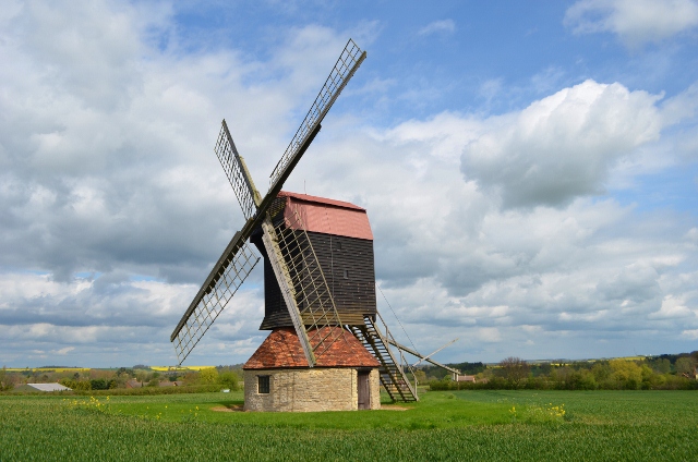
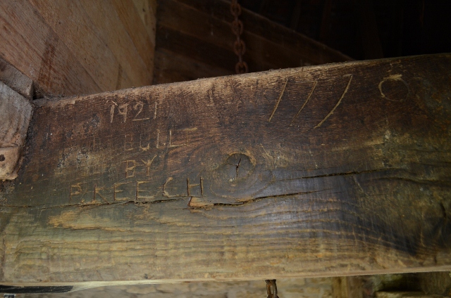
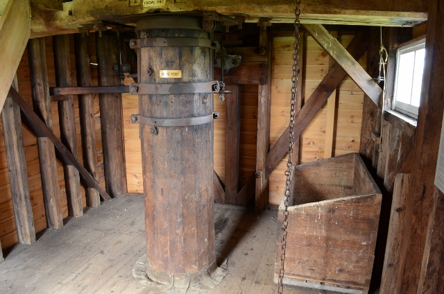
End, West Images
Images are sourced within 2km of 52.173095/-0.56638014 or Grid Reference SP9853. Thanks to Geograph Open Source API. All images are credited.
End, West is located at Grid Ref: SP9853 (Lat: 52.173095, Lng: -0.56638014)
Unitary Authority: Bedford
Police Authority: Bedfordshire
What 3 Words
///paddocks.plot.shipyards. Near Stevington, Bedfordshire
Nearby Locations
Related Wikis

Stevington
Stevington is a village and civil parish in the Borough of Bedford in northern Bedfordshire, England. It is on the River Great Ouse four to five miles...

Church of St Mary, Stevington
Church of St Mary is a Grade I listed church in Stevington, Bedfordshire, England. It became a listed building on 13 July 1964. It is the Anglican parish...

Stevington Marsh
Stevington Marsh is a 7.5-hectare (19-acre) biological Site of Special Scientific Interest in Pavenham in Bedfordshire. It was notified in 1987 under Section...
West End, Bedfordshire
West End is a hamlet located in the Borough of Bedford in Bedfordshire, England. The settlement is close to Carlton, Pavenham and Stevington. West End...

Pavenham Osier Beds
Pavenham Osier Beds is a 1.3 hectare nature reserve south of Pavenham, on the banks of the River Great Ouse, in Bedfordshire. It is managed by the Wildlife...

Pavenham
Pavenham is a small village and civil parish on the River Great Ouse in the Borough of Bedford in Bedfordshire, England, about 6 miles (10 km) north-west...
Pavenham Manor
Pavenham Manor was a country house in Pavenham, Bedfordshire, England. The house was demolished in 1960. == References ==

Church of St Peter, Pavenham
Church of St Peter is a Grade I listed church in Pavenham, Bedfordshire, England. It became a listed building on 13 July 1964.The church has some good...
Nearby Amenities
Located within 500m of 52.173095,-0.56638014Have you been to End, West?
Leave your review of End, West below (or comments, questions and feedback).