Stevington

Settlement in Bedfordshire

England

Stevington

Stevington Belts Bluebell woods near the Great Ouse, at their best on a preternaturally warm late April afternoon.
Stevington Belts Credit: Tiger

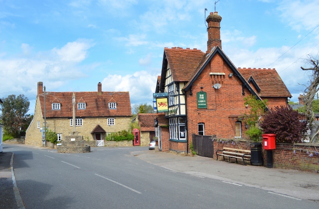
Stevington is a picturesque village located in the county of Bedfordshire, England. Situated approximately 8 miles north of Bedford, it is nestled along the banks of the River Great Ouse. Stevington is a small village with a population of around 1,000 residents.

The village is known for its charming and well-preserved historic buildings, including a beautiful 14th-century church dedicated to St. Mary the Virgin. The church features stunning architecture, stained glass windows, and a peaceful churchyard. Stevington also boasts a number of traditional thatched cottages, adding to its quaint and idyllic atmosphere.

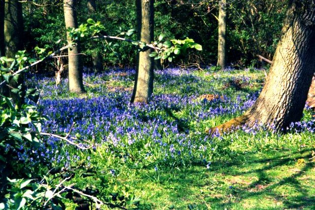
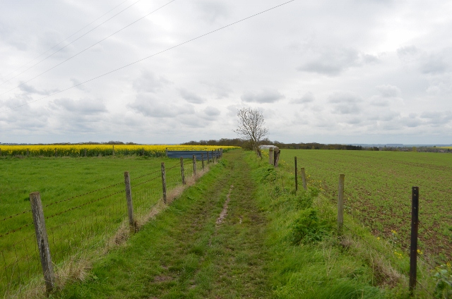
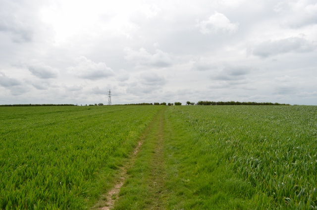
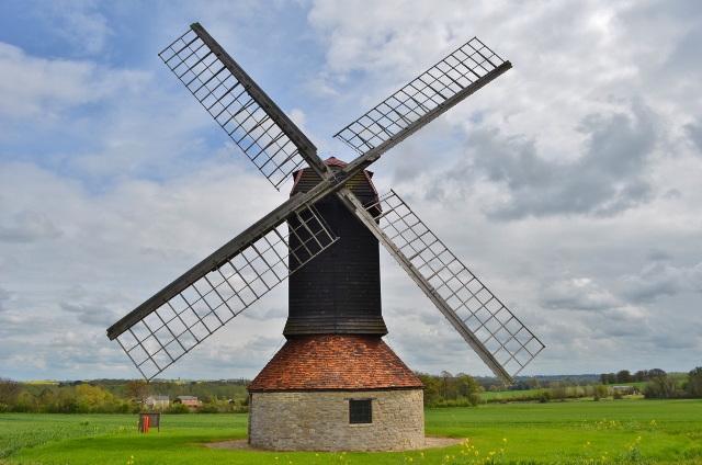
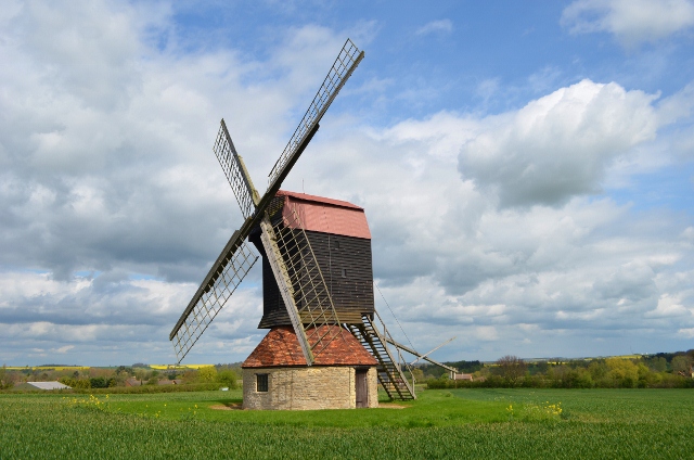
The village is surrounded by the rural countryside, offering residents and visitors ample opportunities for outdoor activities. The River Great Ouse, which runs nearby, is a popular spot for fishing and boating enthusiasts. There are also several walking and cycling paths that wind through the surrounding fields and meadows, providing scenic routes for nature lovers.

Stevington has a strong sense of community, with various events and activities organized throughout the year. The annual Stevington Country Fair, held in June, is a highlight for locals and visitors alike. The fair features live music, traditional crafts, food stalls, and a range of family-friendly entertainment.

Although small in size, Stevington benefits from its close proximity to Bedford, which offers a wider range of amenities including shops, schools, and healthcare services. With its charming ambiance and natural beauty, Stevington is a delightful place to live or visit for those seeking a peaceful and picturesque village experience in Bedfordshire.

If you have any feedback on the listing, please let us know in the comments section below.
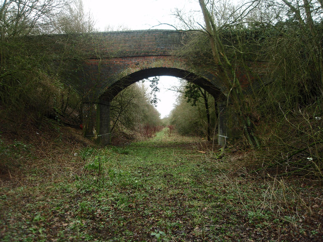
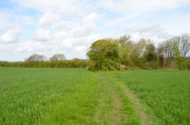
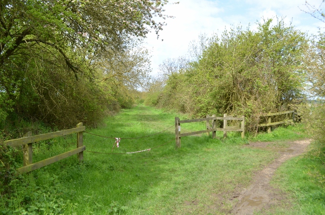
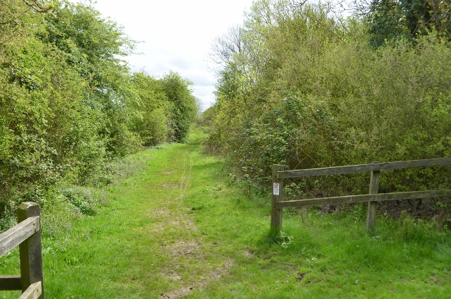
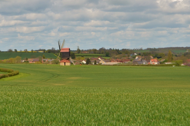
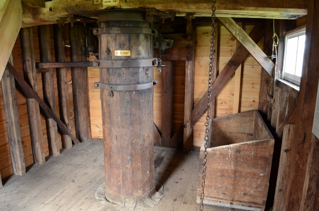
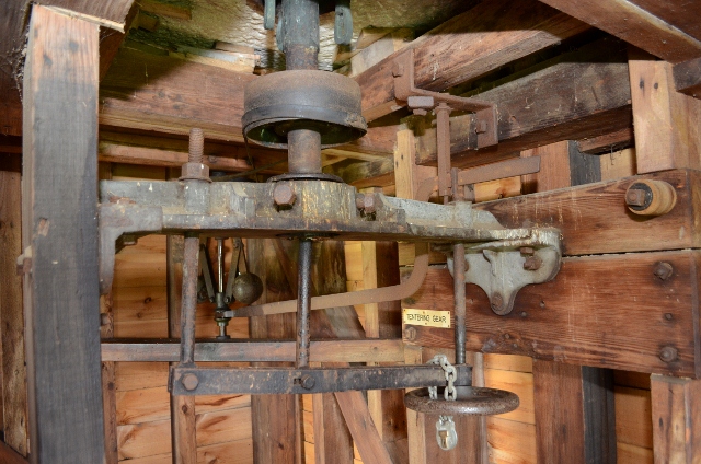
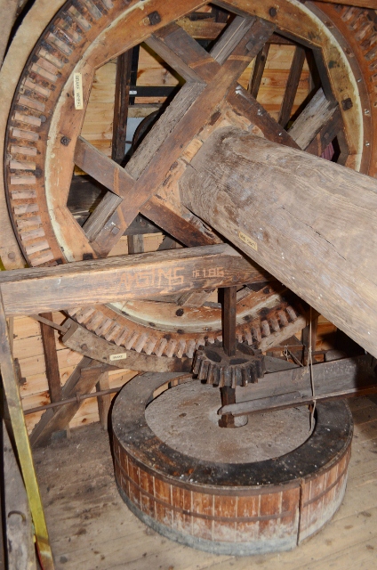
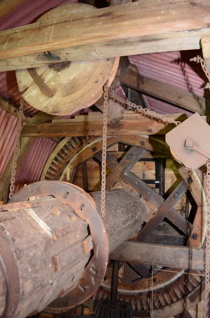
Stevington Images

Images are sourced within 2km of 52.168563/-0.554782 or Grid Reference SP9853. Thanks to Geograph Open Source API. All images are credited.

Stevington Belts Bluebell woods near the Great Ouse, at their best on a preternaturally warm late April afternoon.
Stevington Belts
Bluebell woods near the Great Ouse, at their best on a preternaturally warm late April afternoon.
Farm and field access bridge over the old Bedford - Northampton railway line The footpath ends this side of the bridge and is very tricky to ascend out of the cutting.
Farm and field access bridge over the old Bedford - Northampton railway line
The footpath ends this side of the bridge and is very tricky to ascend out of the cutting.
John Bunyan trail Leaving Bromham, over the hill towards Stevington
John Bunyan trail
Leaving Bromham, over the hill towards Stevington
John Bunyan trail Leaving Bromham, over the hill towards Stevington
John Bunyan trail
Leaving Bromham, over the hill towards Stevington
John Bunyan trail Looking towards Bromham, behind me is the small village of Stevington.
John Bunyan trail
Looking towards Bromham, behind me is the small village of Stevington.
Former Railway Line The ex Bedford to Northampton line crosses here, this is a footpath. The bricks are the former pig sty for Skylark cottage which is a burnt out shell.
Former Railway Line
The ex Bedford to Northampton line crosses here, this is a footpath. The bricks are the former pig sty for Skylark cottage which is a burnt out shell.
Former Railway Line Bedford to Northampton line closed in the mid 1960s under Beeching cuts.
Former Railway Line
Bedford to Northampton line closed in the mid 1960s under Beeching cuts.
Former Railway Line Bedford to Northampton line closed in the mid 1960s under Beeching cuts.
Former Railway Line
Bedford to Northampton line closed in the mid 1960s under Beeching cuts.
Stevington Windmill A post mill with four common cloth type sails, the last mill to use this ancient technology commercially. The building was built in 1770 and restored in 1921,1958 and 2004. All the internal machinery is intact, inside is one set of stones with a governor and iron tentering beam. There is no faintail, this is a very simple machine. Once called on a survey 'useless'. It was used mostly for grinding cattle feed until 1939 before purchased by Bedford Borough Council as part of the County's contribution to the Festival of Britain.
It is sometimes used, for example mills open weekend. Access can be gained via a key from the Royal George in the village.
Stevington Windmill
A post mill with four common cloth type sails, the last mill to use this ancient technology commercially. The building was built in 1770 and restored in 1921,1958 and 2004. All the internal machinery is intact, inside is one set of stones with a governor and iron tentering beam. There is no faintail, this is a very simple machine. Once called on a survey 'useless'. It was used mostly for grinding cattle feed until 1939 before purchased by Bedford Borough Council as part of the County's contribution to the Festival of Britain. It is sometimes used, for example mills open weekend. Access can be gained via a key from the Royal George in the village.
Stevington village centre Little has changed in 6/7 years <a href="https://www.geograph.org.uk/photo/88066">SP9853 : Stevington village centre</a>

The great Domesday survey of 1086 recorded Stevington (Stiuentone) as one of the richest parishes in the County. The cross was probably erected by Hugh II, Bishop of Lincoln, between 1207 and 1227. It may originally have stood at the Hospice.
The pub is for let, the Royal George is around the corner.
Stevington village centre
Little has changed in 6/7 years SP9853 : Stevington village centre The great Domesday survey of 1086 recorded Stevington (Stiuentone) as one of the richest parishes in the County. The cross was probably erected by Hugh II, Bishop of Lincoln, between 1207 and 1227. It may originally have stood at the Hospice. The pub is for let, the Royal George is around the corner.
Stevington Windmill The four common sails are not very common these days as they required a lot of work. Its very dated technology compared to patent sails.
Stevington Windmill
The four common sails are not very common these days as they required a lot of work. Its very dated technology compared to patent sails.
Stevington Windmill The postmill on an otherwise overcast cloudy day. This year the farm hasn't planted oil seed rape.
Stevington Windmill
The postmill on an otherwise overcast cloudy day. This year the farm hasn't planted oil seed rape.
Stevington Windmill P Keech restored the mill in 1921, the build date of 1770 can also be seen.
Stevington Windmill
P Keech restored the mill in 1921, the build date of 1770 can also be seen.
Stevington Windmill The crown and central pivot post can be seen here as can the grain bin. The governor is to the left.
Stevington Windmill
The crown and central pivot post can be seen here as can the grain bin. The governor is to the left.
Stevington Windmill The tentering gear can be seen, a later 19th C addition. The simple setup can be seen with the stone above running a belt to the governor. The balls swing out via centrifugal inertia moving the steel yard up or down. Via a pivot this adjusts the tentering arm and thus the distance between the stones, maintaining quality.
Stevington Windmill
The tentering gear can be seen, a later 19th C addition. The simple setup can be seen with the stone above running a belt to the governor. The balls swing out via centrifugal inertia moving the steel yard up or down. Via a pivot this adjusts the tentering arm and thus the distance between the stones, maintaining quality.
Stevington Windmill This is it! Basically the brakewheel straight onto a stone nut and one pair of Derbyshire grits. The massive windshaft is obviously from one big tree trunk.
Stevington Windmill
This is it! Basically the brakewheel straight onto a stone nut and one pair of Derbyshire grits. The massive windshaft is obviously from one big tree trunk.
Stevington Windmill The windshaft runs the vital sack hoist which in turn engased via a handle and rope.
Stevington Windmill
The windshaft runs the vital sack hoist which in turn engased via a handle and rope.
Stevington Windmill Just the one pair for grinding animal feed on Derbyshire grits.
Stevington Windmill
Just the one pair for grinding animal feed on Derbyshire grits.
Show me another place!

Stevington is located at Grid Ref: SP9853 (Lat: 52.168563, Lng: -0.554782)

Unitary Authority: Bedford

Police Authority: Bedfordshire

What 3 Words

///lazy.geology.verve. Near Stevington, Bedfordshire

Related Wikis

Stevington

Stevington is a village and civil parish in the Borough of Bedford in northern Bedfordshire, England. It is on the River Great Ouse four to five miles...

Church of St Mary, Stevington

Church of St Mary is a Grade I listed church in Stevington, Bedfordshire, England. It became a listed building on 13 July 1964. It is the Anglican parish...

West End, Bedfordshire

West End is a hamlet located in the Borough of Bedford in Bedfordshire, England. The settlement is close to Carlton, Pavenham and Stevington. West End...

Stevington Marsh

Stevington Marsh is a 7.5-hectare (19-acre) biological Site of Special Scientific Interest in Pavenham in Bedfordshire. It was notified in 1987 under Section...

Pavenham Osier Beds

Pavenham Osier Beds is a 1.3 hectare nature reserve south of Pavenham, on the banks of the River Great Ouse, in Bedfordshire. It is managed by the Wildlife...

Oakley, Bedfordshire

Oakley is a village and civil parish located in the Borough of Bedford in Bedfordshire, England, about four miles northwest of Bedford along the River...

Pavenham

Pavenham is a small village and civil parish on the River Great Ouse in the Borough of Bedford in Bedfordshire, England, about 6 miles (10 km) north-west...

Lincroft Academy

Lincroft Academy is a co-educational secondary school located in Oakley in the English county of Bedfordshire.It was established as a secondary modern...

Nearby Amenities

Located within 500m of 52.168563,-0.554782
Stevington
Place: village
Wikidata: Q1520344
Wikipedia: en:Stevington
Lat/Long: 52.1689009/-0.5554407
Barrier: kissing_gate
Foot: yes
Source: GPS
Lat/Long: 52.1725276/-0.5532453
Barrier: kissing_gate
Foot: yes
Lat/Long: 52.1669727/-0.5576994
Pub
The Red Lion
Addr City: Stevington
Addr Country: GB
Addr Housenumber: 1
Addr Postcode: MK43 7QD
Addr Street: Park Road
Fhrs Authority: Bedford
Fhrs Id: 1093407
Fhrs Local Authority Id: 113047
Lat/Long: 52.1686881/-0.5545099
Defibrillator Station
Defibrillator
Addr Postcode: MK43 7QB
Booth: K6
Covered: booth
Defibrillator Location: inside old red phone box at southern end of Church Road, Stevington
Description: Emergency defibrillator here
Disused Amenity: telephone
Emergency: defibrillator
Listed Status: Grade II
Man Made: telephone_box
Ref: CHT-14-1030
Lat/Long: 52.1687494/-0.5547572
Pub
The Royal George
Addr City: Bedford
Addr Country: GB
Addr Housenumber: 8-10
Addr Postcode: MK43 7QP
Addr Street: Silver Street
Addr Village: Stevington
Fhrs Authority: Bedford
Fhrs Id: 1597104
Fhrs Local Authority Id: 134375
Wikidata: Q26454952
Lat/Long: 52.1683411/-0.5551907
Park End
Place: locality
Lat/Long: 52.16685/-0.548924
Post Box
Operator: Royal Mail
Post Box Design: type_m
Post Box Type: lamp
Ref: MK43 126
Royal Cypher: EIIR
Royal Cypher Wikidata: Q33102113
Lat/Long: 52.1685791/-0.5543779
Stevington St Mary's Holy Well
Description: Natural spring, quoted in 'Pilgrims Progress'
Natural: spring
Lat/Long: 52.1722808/-0.5528628
Historic: market_cross
Lat/Long: 52.1686381/-0.5546845
Advertising: board
Lat/Long: 52.1685797/-0.5543127
Defibrillator
Defibrillator Location: outside Stevington Village Hall
Emergency: defibrillator
Indoor: no
Lat/Long: 52.1699876/-0.5591239
Disused Amenity: post_box
Post Box Type: wall
Royal Cypher: GR
Lat/Long: 52.1685526/-0.5547335
Waste Basket
Lat/Long: 52.1696506/-0.5580133
The data included in this document is from www.openstreetmap.org. The data is made available under ODbL.

Have you been to Stevington?

Leave your review of Stevington below (or comments, questions and feedback).