Brackenthwaite

Settlement in Cumberland Allerdale

England

Brackenthwaite

River Cocker Looking across the river which drains Crummock Water
River Cocker Credit: Oliver Dixon

Brackenthwaite is a small village located in the county of Cumberland, in the northwestern part of England. Situated amidst the picturesque beauty of the Lake District, it is nestled in the heart of the rolling Cumbrian countryside. Brackenthwaite is known for its tranquil atmosphere and stunning natural surroundings, making it a popular destination for tourists seeking a peaceful retreat.

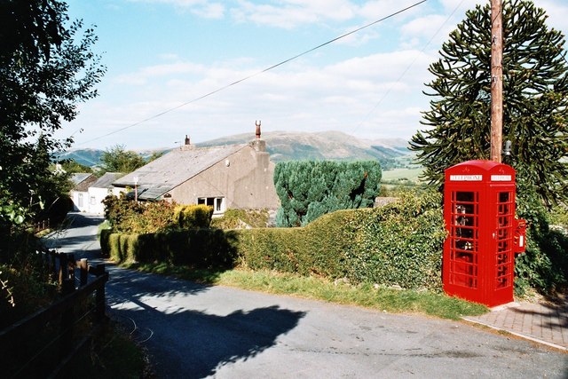
The village itself is quite small, with a population of around 200 residents. Its charm lies in its traditional architecture, with quaint stone cottages and well-maintained gardens. The community is close-knit, and residents take pride in preserving the village's rich heritage and welcoming visitors with warmth and hospitality.

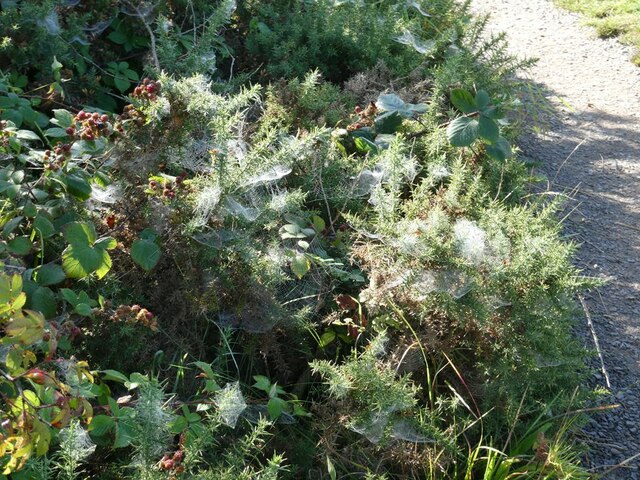
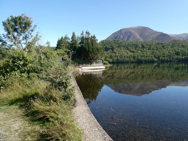
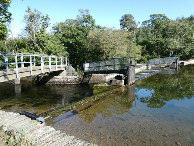
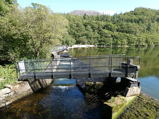
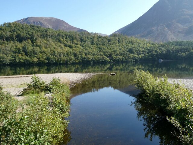
Nature enthusiasts will find themselves in paradise in Brackenthwaite, as the village is surrounded by lush green fields, dense woodlands, and babbling brooks. The nearby fells offer breathtaking hiking trails, where one can explore the rugged beauty of the Lake District and enjoy panoramic views of the countryside.

In terms of amenities, Brackenthwaite has a small village shop that caters to the daily needs of its inhabitants. For more extensive shopping and services, residents often travel to the nearby towns of Cockermouth or Keswick. The village also has a charming local pub, where locals and visitors can enjoy a hearty meal and a pint of local ale.

Overall, Brackenthwaite is a hidden gem in the heart of Cumberland. With its idyllic setting and warm community spirit, it offers a perfect escape for those seeking tranquility and a connection with nature.

If you have any feedback on the listing, please let us know in the comments section below.

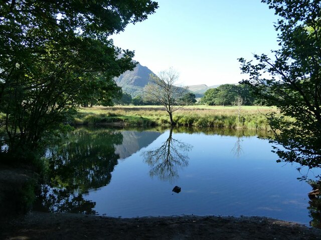
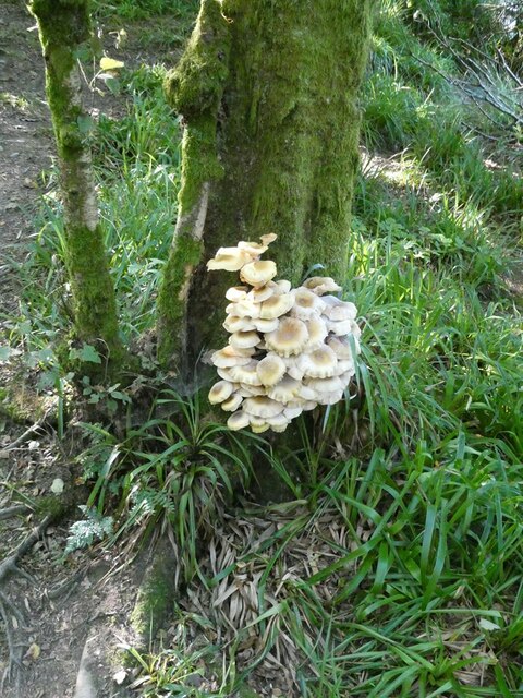
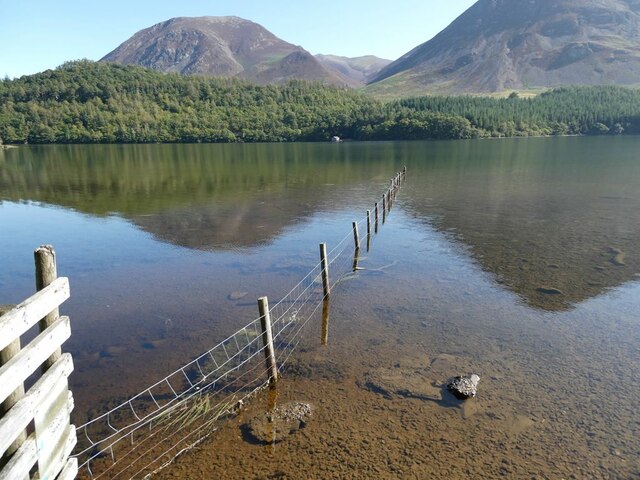
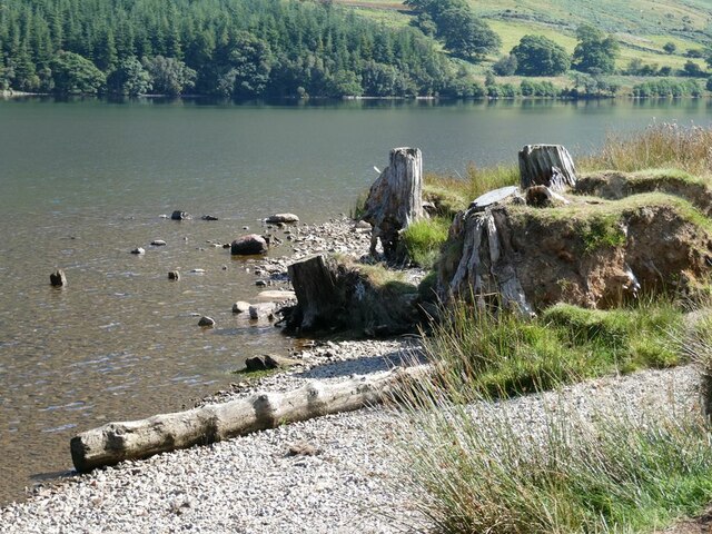
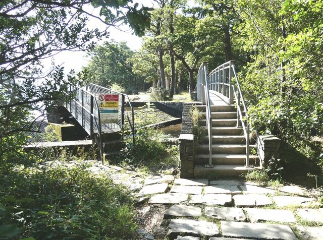
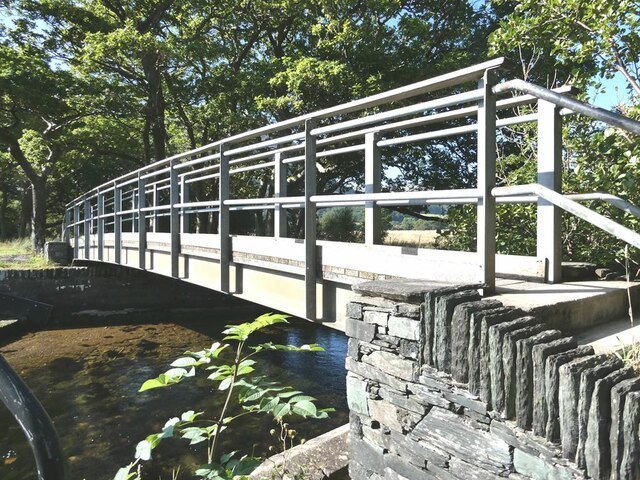
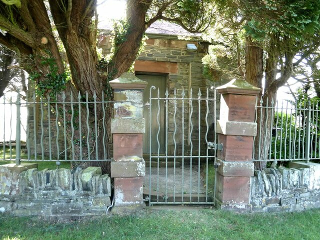
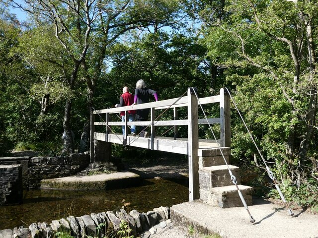
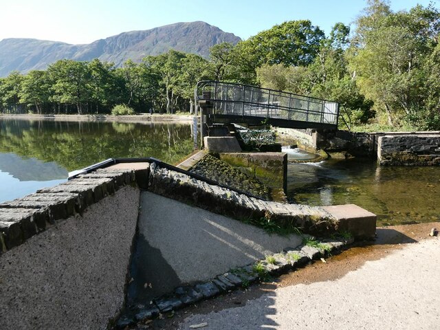
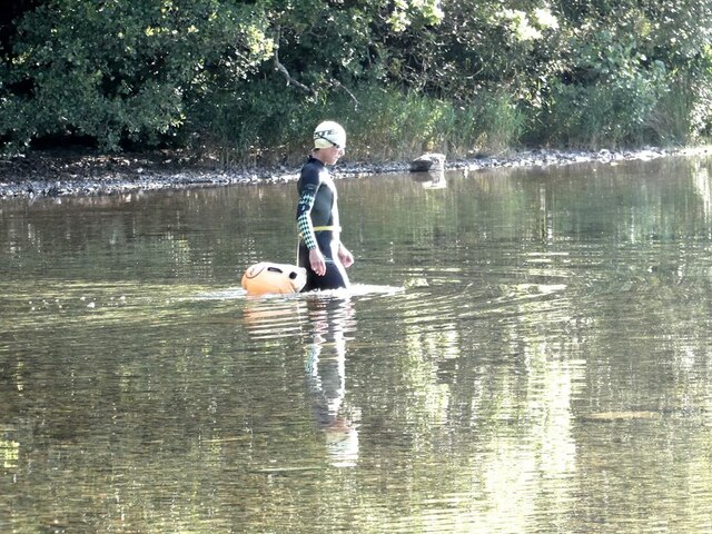
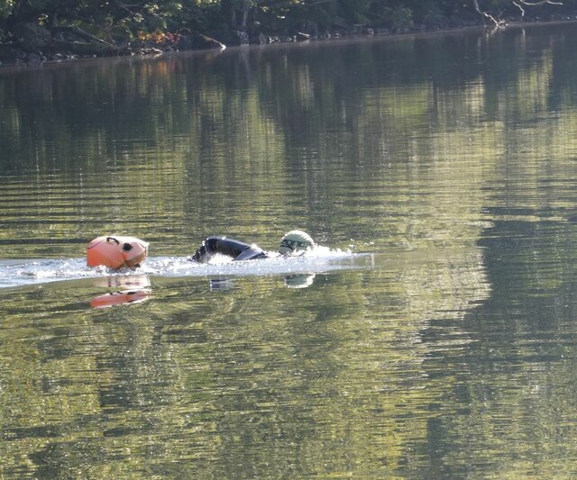
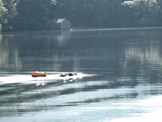
Brackenthwaite Images

Images are sourced within 2km of 54.588369/-3.309149 or Grid Reference NY1522. Thanks to Geograph Open Source API. All images are credited.

River Cocker Looking across the river which drains Crummock Water
River Cocker
Looking across the river which drains Crummock Water
Good enough to eat? Unidentified fungi in Lanthwaite Wood.
Good enough to eat?
Unidentified fungi in Lanthwaite Wood.
View across Crummock Water Whiteside <a href="https://www.geograph.org.uk/gridref/NY1621">NY1621</a> to the left beyond Lanthwaite Wood. To the right, the foot of the slope of Grasmoor.
View across Crummock Water
Whiteside NY1621 to the left beyond Lanthwaite Wood. To the right, the foot of the slope of Grasmoor.
Tree stumps on the  shore of Crummock Water
Tree stumps on the shore of Crummock Water
Cobwebs on gorse Still glistening with dew.
Cobwebs on gorse
Still glistening with dew.
Eastern shore of Crummock Water The small promontory with a dense covering of trees is the site of the pump house. Whiteside <a href="https://www.geograph.org.uk/gridref/NY1621">NY1621</a> can be seen beyond Lanthwaite Wood.
Eastern shore of Crummock Water
The small promontory with a dense covering of trees is the site of the pump house. Whiteside NY1621 can be seen beyond Lanthwaite Wood.
Outlets from Crummock Water There are two outlets from Crummock Water which soon merge to form the River Cocker. Each outlet has a fish ladder a control valve and a footbridge.
Outlets from Crummock Water
There are two outlets from Crummock Water which soon merge to form the River Cocker. Each outlet has a fish ladder a control valve and a footbridge.
Fish ladder and control valve One of the outlets from Crummock Water. Lanthwaite Wood beyond.
Fish ladder and control valve
One of the outlets from Crummock Water. Lanthwaite Wood beyond.
Footbridge and access to control valve Over the westernmost of two outlets from Crummock Water.
Footbridge and access to control valve
Over the westernmost of two outlets from Crummock Water.
Footbridge over the River Cocker One of the two outlets from Crummock Water.
Footbridge over the River Cocker
One of the two outlets from Crummock Water.
Pump  House, Crummock Water Erected by Workington Council for the purposes of water supply and looking a bit like a mausoleum surrounded by railings and a dense clump of trees.
Pump House, Crummock Water
Erected by Workington Council for the purposes of water supply and looking a bit like a mausoleum surrounded by railings and a dense clump of trees.
Control valve on Crummock Water Controlling the outflow from the lake at the fish pass.
Control valve on Crummock Water
Controlling the outflow from the lake at the fish pass.
Footbridge over the River Cocker Over the easternmost of two outlets from Crummock Water.
Footbridge over the River Cocker
Over the easternmost of two outlets from Crummock Water.
Control valve on Crummock Water At the easternmost of two outlets from Crummock Water.
Control valve on Crummock Water
At the easternmost of two outlets from Crummock Water.
Swimmer on Crummock Water Entering the water.
Swimmer on Crummock Water
Entering the water.
Swimmer on Crummock Water
Swimmer on Crummock Water Boathouse in the background.
Swimmer on Crummock Water
Boathouse in the background.
Mouth of Park Beck Where it discharges into Crummock Water. Lanthwaite Wood on the far bank.
Mouth of Park Beck
Where it discharges into Crummock Water. Lanthwaite Wood on the far bank.
Show me another place!

Brackenthwaite is located at Grid Ref: NY1522 (Lat: 54.588369, Lng: -3.309149)

Administrative County: Cumbria

District: Allerdale

Police Authority: Cumbria

What 3 Words

///scrapping.adhesive.cutaway. Near Cockermouth, Cumbria

Related Wikis

Brackenthwaite, Buttermere

Brackenthwaite is a settlement and former civil parish, now in the parish of Buttermere, in the unitary authority area of Cumberland, in the ceremonial...

Brackenthwaite Hows

Brackenthwaite Hows (also known as Lanthwaite Hill) is a hill in the Lake District of North West England. Crummock Water, Looking Towards Buttermere, a...

Thackthwaite

Thackthwaite is a village in Cumbria, England, from which hikers can climb Low Fell and Fellbarrow. The place-name contains thwaite ("clearing").A second...

Low Fell (Lake District)

Low Fell is a fell in the English Lake District. It overlooks the lake of Loweswater to the south and to the north is bordered by its neighbour Fellbarrow...

Loweswater (village)

Loweswater is a village and civil parish in the county of Cumbria, England. == Village == Historically part of Cumberland, the village lies between the...

Whiteside (Lake District)

Whiteside is a fell in the north-western area of the English Lake District. It stands at the western end of the Grisedale Pike- Hopegill Head ridge overlooking...

Grasmoor

Grasmoor is a mountain in the north-western part of the Lake District, northern England. It is the highest peak in a group of hills between the villages...

Fellbarrow

Fellbarrow is a low hill in the north west of the English Lake District. It is not far from the town of Cockermouth, near to Loweswater and can most easily...

Nearby Amenities

Located within 500m of 54.588369,-3.309149
Brackenthwaite
Is In County: Cumbria
Place: hamlet
Source: npe
Wikidata: Q4953681
Lat/Long: 54.5880031/-3.3104175
Cornhow Farm (N bound)
Local Ref: AT
Naptan AtcoCode: 090002190080
Naptan Bearing: N
Naptan BusStopType: CUS
Naptan CommonName: Cornhow Farm (N bound)
Naptan Indicator: at
Naptan Landmark: entrance to Cornhow Farm
Naptan NaptanCode: cumadjpt
Naptan Street: No name
Naptan Verified: no
Source: naptan_import
Lat/Long: 54.5872779/-3.3138313
Cornhow Farm (S bound)
Naptan AtcoCode: 090002193760
Naptan Bearing: S
Naptan BusStopType: CUS
Naptan CommonName: Cornhow Farm (S bound)
Naptan Indicator: near
Naptan Landmark: Palace How
Naptan NaptanCode: cumadjwm
Naptan Street: No name
Naptan Verified: no
Source: naptan_import
Lat/Long: 54.587154/-3.3136571
Post Box
Ref: CA13 99
Lat/Long: 54.587348/-3.3136565
Pickett Howe
Place: locality
Lat/Long: 54.585902/-3.3087241
Low Hollins
Place: locality
Lat/Long: 54.5915472/-3.3037586
Lisa Beck Lead Mine
Abandoned: yes
Historic: mine
Man Made: mine
Mineral: lead
Lat/Long: 54.5877942/-3.3060711
Palacehow Wood
Natural: wood
Lat/Long: 54.5852441/-3.3139299
Cornhow
Place: locality
Lat/Long: 54.5892563/-3.3147446
Hollowmires Wood
Natural: wood
Lat/Long: 54.5901846/-3.3149048
Power: pole
Lat/Long: 54.5916485/-3.3063643
Power: pole
Lat/Long: 54.5896426/-3.3071746
Power: pole
Lat/Long: 54.5904654/-3.3044906
Power: pole
Lat/Long: 54.5900394/-3.305862
Power: pole
Lat/Long: 54.5893351/-3.3081226
Power: pole
Lat/Long: 54.5886414/-3.3083394
Power: pole
Lat/Long: 54.5879853/-3.3085176
Power: pole
Lat/Long: 54.5872317/-3.3087242
Power: pole
Lat/Long: 54.586612/-3.3081449
Power: pole
Lat/Long: 54.5860145/-3.3075453
Power: pole
Lat/Long: 54.5860227/-3.3060949
Power: pole
Lat/Long: 54.5879865/-3.3157715
Power: pole
Lat/Long: 54.5873597/-3.3158282
Power: pole
Lat/Long: 54.5867329/-3.3158505
Power: pole
Lat/Long: 54.5866143/-3.3149227
Power: pole
Lat/Long: 54.5865134/-3.3141651
The data included in this document is from www.openstreetmap.org. The data is made available under ODbL.

Have you been to Brackenthwaite?

Leave your review of Brackenthwaite below (or comments, questions and feedback).