Brackenthwaite

Settlement in Cumberland Allerdale

England

Brackenthwaite

Sandy Brow, near Rosley
Sandy Brow, near Rosley Credit: Alex McGregor

Brackenthwaite is a small village located in the county of Cumberland in northwest England. Situated amidst the scenic beauty of the Lake District National Park, it is nestled in a valley surrounded by rolling hills and lush greenery. The village is predominantly rural and encompasses a tight-knit community of around 200 residents.

Historically, Brackenthwaite was primarily an agricultural village, with farming being the main occupation of the locals. However, with the passage of time, the village has witnessed a gradual shift towards a more diversified economy, with a few small businesses catering to the needs of the community.

Brackenthwaite boasts a charming and picturesque setting, making it an attractive destination for nature lovers and outdoor enthusiasts. The village offers numerous opportunities for outdoor activities such as hiking, cycling, and birdwatching, with its proximity to the Lake District providing easy access to stunning landscapes and walking trails.

Although Brackenthwaite is relatively secluded, it benefits from good transportation links, with nearby towns and cities easily accessible by road. The village also has a community center, a primary school, and a local pub that serves as a social hub for the residents.

Overall, Brackenthwaite presents a tranquil and idyllic setting, providing a peaceful escape from the hustle and bustle of urban life. With its natural beauty and close-knit community, it is a place that embodies the essence of rural England.

If you have any feedback on the listing, please let us know in the comments section below.

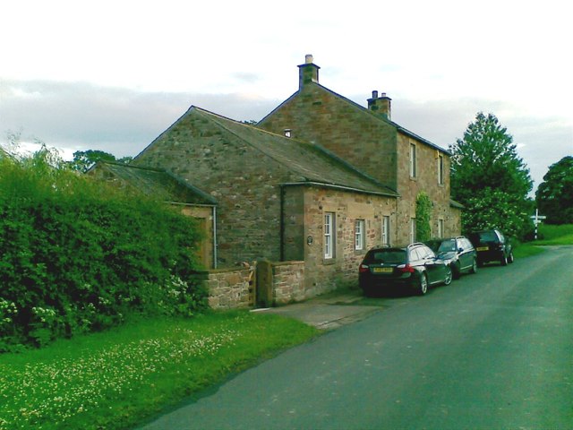
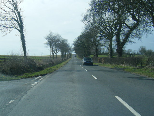
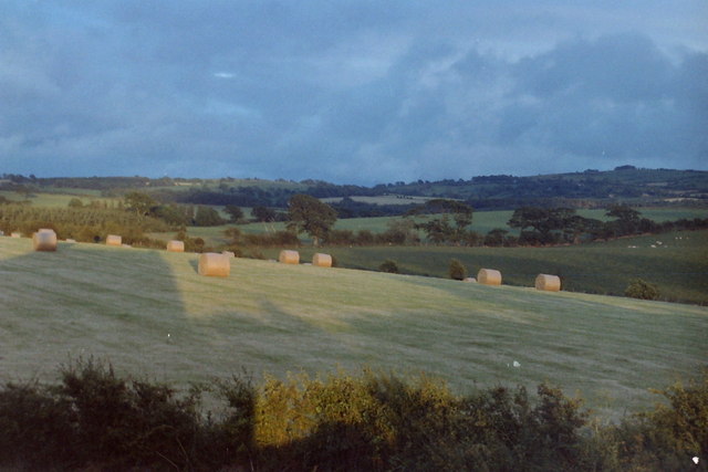
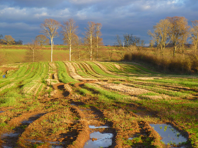
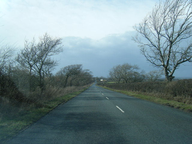
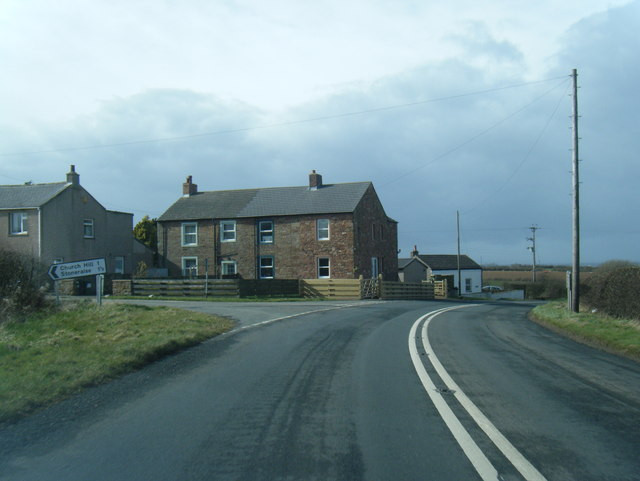
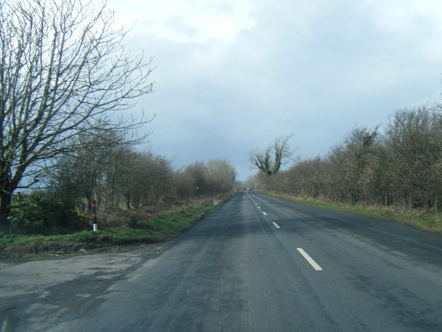
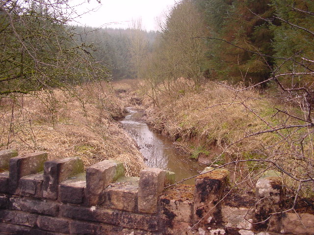
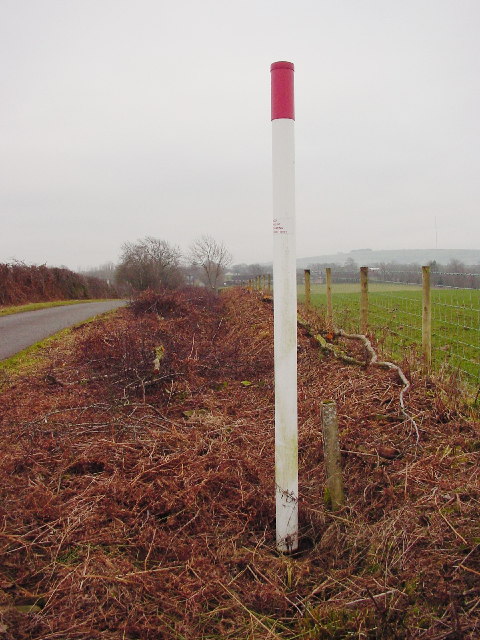
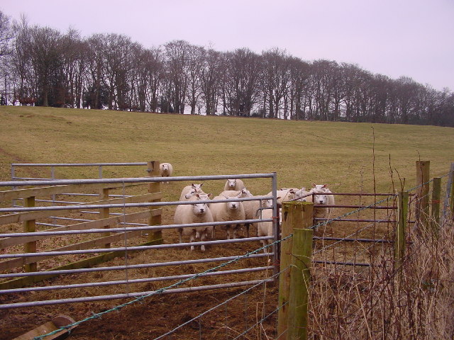
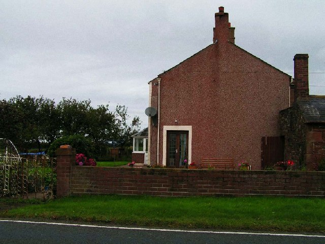
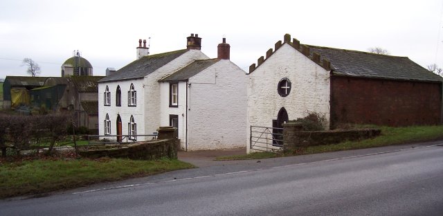
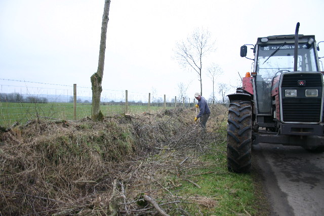
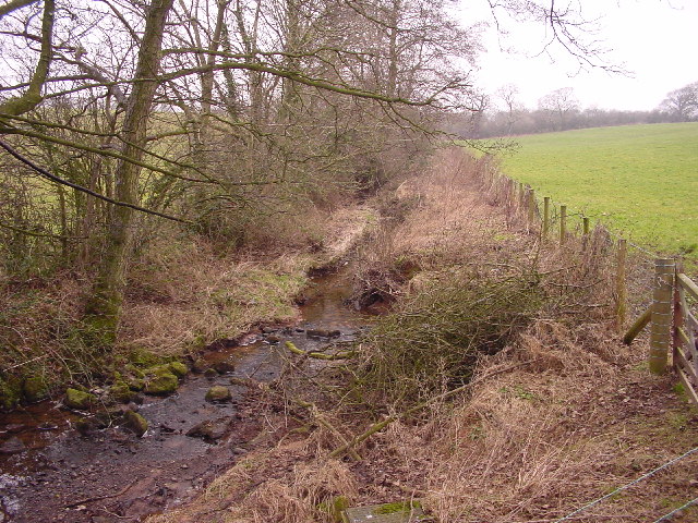
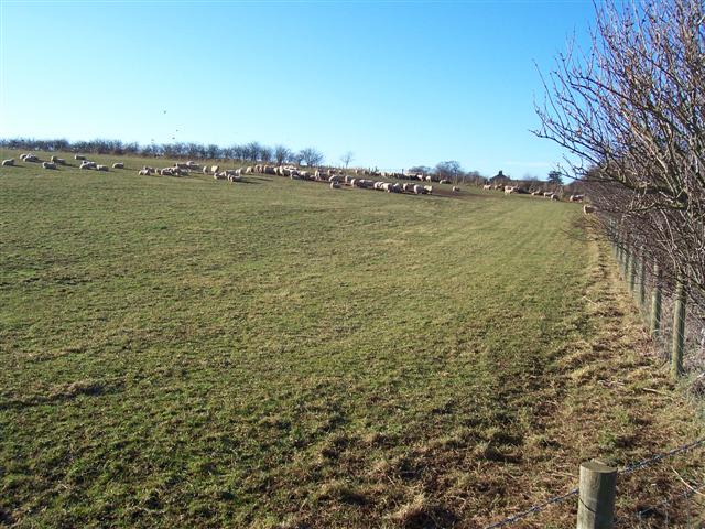
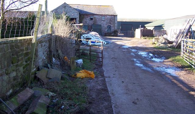
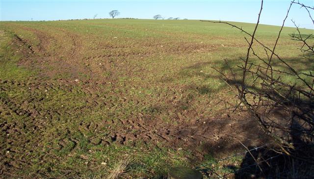
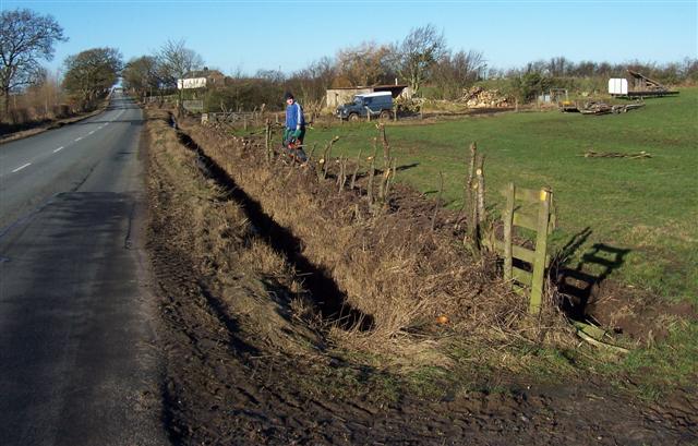
Brackenthwaite Images

Images are sourced within 2km of 54.807958/-3.098406 or Grid Reference NY2946. Thanks to Geograph Open Source API. All images are credited.

Sandy Brow, near Rosley
B5305 east of Tracentree
Fields at sunset Hay bales taken from Warblebank
Fields at sunset
Hay bales taken from Warblebank
Farmland, Westward Muddy arable land and a view across the valley of Speet Gill.
Farmland, Westward
Muddy arable land and a view across the valley of Speet Gill.
B5305 south of Low House Farm
B5305 at Warblebank
B5305 at Warblebank
B5305 at Greenrigg Farm entrance
Wiza Beck Draining Lord's Wood
Wiza Beck
Draining Lord's Wood
Hedging and Gas The old hedge has just been "laid" to regenerate dense growth. The pole is a marker for an underground high pressure gas pipeline.
Hedging and Gas
The old hedge has just been "laid" to regenerate dense growth. The pole is a marker for an underground high pressure gas pipeline.
Bars The narrow strip of Sandybrows Wood encloses this grazing field.
Bars
The narrow strip of Sandybrows Wood encloses this grazing field.
Forest Hall Farm This farm is immediately next to the main A596 which links Cockermouth and west Cumbria to Carlisle.
Forest Hall Farm
This farm is immediately next to the main A596 which links Cockermouth and west Cumbria to Carlisle.
Jenkin's Cross Farm. The round feature in the gable end has the placename around it but I have not found any history behind this name yet.
Jenkin's Cross Farm.
The round feature in the gable end has the placename around it but I have not found any history behind this name yet.
Hedge Laying at Brackenthwaite This hedge has been laid the traditional way, by hand. Many hedges are simply slashed by mechanical cutters, leaving an inferior, straggly hedge.
Hedge Laying at Brackenthwaite
This hedge has been laid the traditional way, by hand. Many hedges are simply slashed by mechanical cutters, leaving an inferior, straggly hedge.
Speet Gill Looking northwest
Speet Gill
Looking northwest
Sheep feeding at Green Rigg. You can just see the chimney stack of the farmhouse at the end of the lane.
Sheep feeding at Green Rigg.
You can just see the chimney stack of the farmhouse at the end of the lane.
Greenrigg Farm.
Greenrigg Farm.
Watch Hill. This field looks ready for sunshine and showers to get growing and green again.
Watch Hill.
This field looks ready for sunshine and showers to get growing and green again.
Hedge Laying. Nice to see a young person doing this ancient farming craft.
Hedge Laying.
Nice to see a young person doing this ancient farming craft.
Show me another place!

Brackenthwaite is located at Grid Ref: NY2946 (Lat: 54.807958, Lng: -3.098406)

Administrative County: Cumbria

District: Allerdale

Police Authority: Cumbria

What 3 Words

///stopped.diplomat.appoints. Near Wigton, Cumbria

Nearby Locations

Brackenthwaite

Related Wikis

Brackenthwaite, Westward

Brackenthwaite is a settlement situated some 3 miles (4.8 km) south-east of the town of Wigton in the English county of Cumbria. It should not be confused...

Westward, Cumbria

Westward is a small village and civil parish in the English county of Cumbria. It had a population of 814, at the 2001 census, increasing slightly to 838...

Old Carlisle

Old Carlisle is a village in the civil parish of Westward in the Allerdale district of Cumbria, England. It is located by the River Waver, and was originally...

Caldbeck transmitting station

The Caldbeck transmitting station is a broadcasting and telecommunications facility, situated close to the village of Caldbeck, in Cumbria, England (Grid...

Nearby Amenities

Located within 500m of 54.807958,-3.098406
Brackenthwaite Gardens
Naptan AtcoCode: 090002552193
Naptan Bearing: W
Naptan BusStopType: CUS
Naptan CommonName: Brackenthwaite Gardens
Naptan Indicator: o/s
Naptan Landmark: Brackenthwaite Gardens
Naptan NaptanCode: cumagtja
Naptan Street: No name
Naptan Verified: no
Source: naptan_import
Lat/Long: 54.8082546/-3.098908
Post Box
Ref: CA7 226
Lat/Long: 54.8095733/-3.0938346
Brackenthwaite
Place: locality
Wikidata: Q4953683
Lat/Long: 54.8077569/-3.0979371
Power: pole
Lat/Long: 54.8122719/-3.0988835
Power: pole
Lat/Long: 54.8120679/-3.1001388
Power: pole
Lat/Long: 54.8117085/-3.1025541
Power: pole
Lat/Long: 54.8045606/-3.1032643
Power: pole
Lat/Long: 54.8046026/-3.1014291
Power: pole
Lat/Long: 54.804643/-3.0996275
Power: pole
Lat/Long: 54.8046798/-3.0977363
Power: pole
Lat/Long: 54.8041869/-3.0962307
Power: pole
Lat/Long: 54.8051412/-3.1030286
Power: pole
Lat/Long: 54.8059693/-3.1027031
Power: pole
Lat/Long: 54.8068879/-3.1023158
Power: pole
Lat/Long: 54.8077814/-3.1022765
Power: pole
Lat/Long: 54.8087809/-3.1020661
Power: pole
Lat/Long: 54.8114637/-3.0941471
Power: pole
Lat/Long: 54.810922/-3.0956204
Power: pole
Lat/Long: 54.8103188/-3.0974584
Power: pole
Lat/Long: 54.8098466/-3.0988222
Power: pole
Lat/Long: 54.8092968/-3.1005003
Power: pole
Lat/Long: 54.8092013/-3.1034916
Power: pole
Lat/Long: 54.8096558/-3.1049508
Power: pole
Lat/Long: 54.8100714/-3.0943436
Power: pole
Lat/Long: 54.804484/-3.0975862
Power: pole
Lat/Long: 54.8041191/-3.0973064
Power: pole
Lat/Long: 54.8037543/-3.0970267
The data included in this document is from www.openstreetmap.org. The data is made available under ODbL.

Have you been to Brackenthwaite?

Leave your review of Brackenthwaite below (or comments, questions and feedback).