Gillbottom Wood

Wood, Forest in Cumberland Allerdale

England

Gillbottom Wood

Ancient sheepfold on the slopes of Darling Fell Good views towards Mellbreak.
Ancient sheepfold on the slopes of Darling Fell Credit: steven ruffles

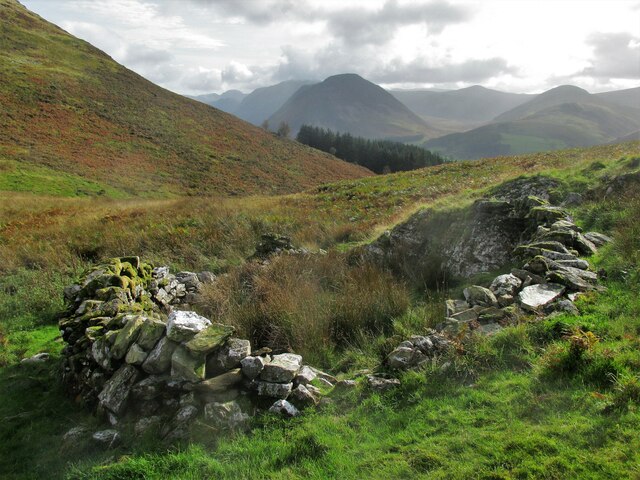
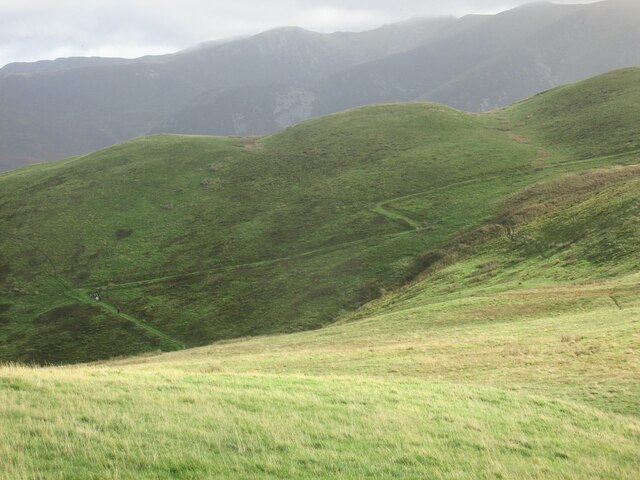
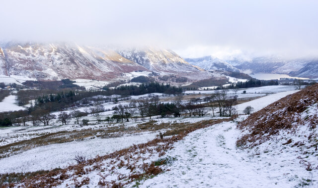
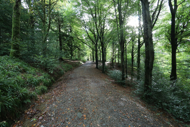
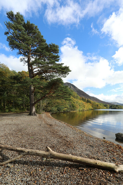
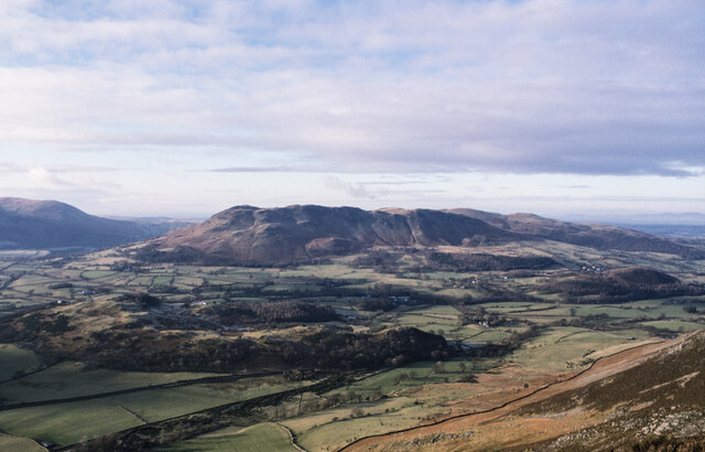
Gillbottom Wood is a picturesque forest located in Cumberland, England. Spanning over several acres, it is known for its lush greenery, diverse wildlife, and tranquil atmosphere. Situated near the village of Gillbottom, the wood is a popular destination for nature enthusiasts and hikers alike.

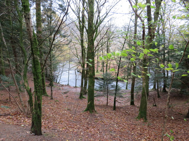
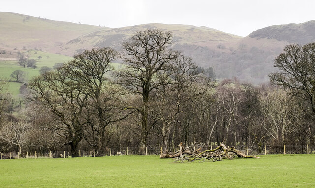
The wood is characterized by its dense canopy of towering trees, primarily consisting of oak, beech, and ash. These majestic trees provide shade and shelter for a variety of flora and fauna that call the forest home. The forest floor is blanketed with a rich carpet of mosses, ferns, and wildflowers, adding to its natural beauty.

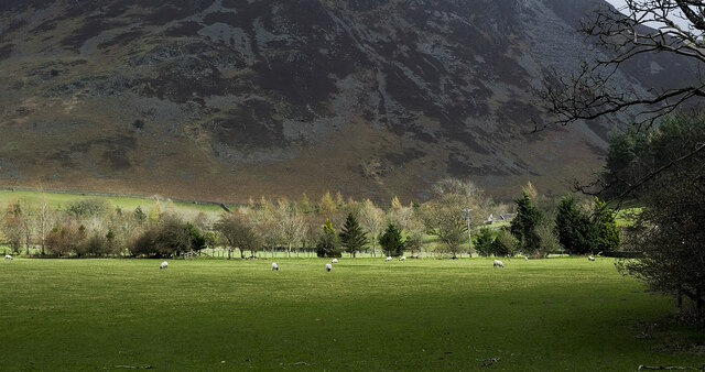
Gillbottom Wood is also home to a wide range of wildlife. The forest is teeming with bird species, including woodpeckers, owls, and various songbirds. Squirrels scurry through the branches, while deer and rabbits can be spotted grazing in the clearings. The wood is also inhabited by smaller creatures such as hedgehogs, foxes, and badgers.

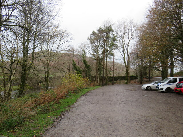
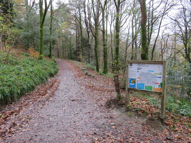
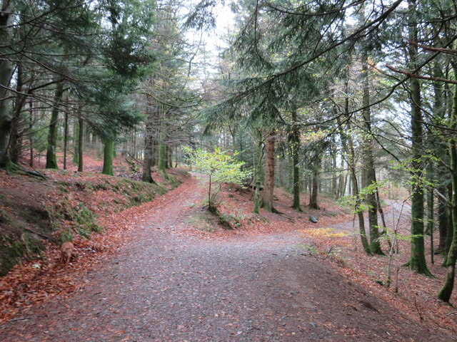
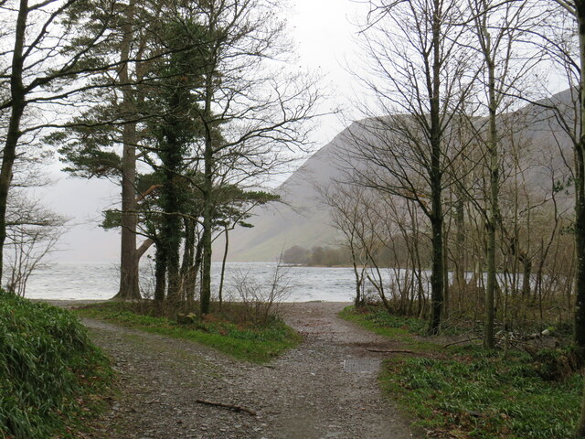
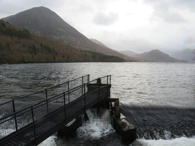
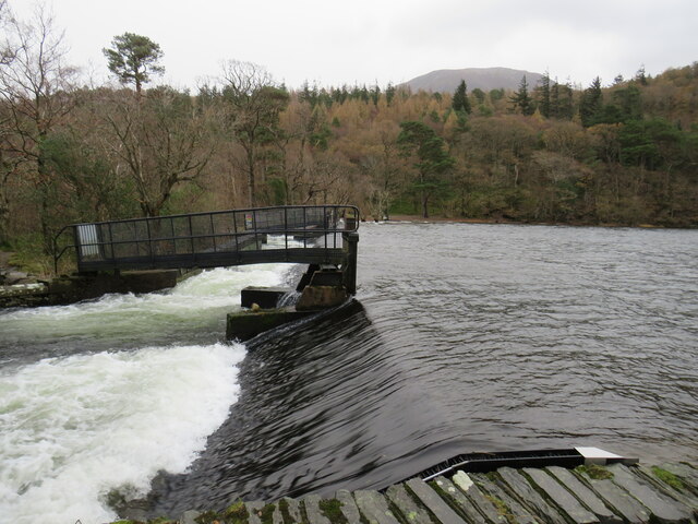
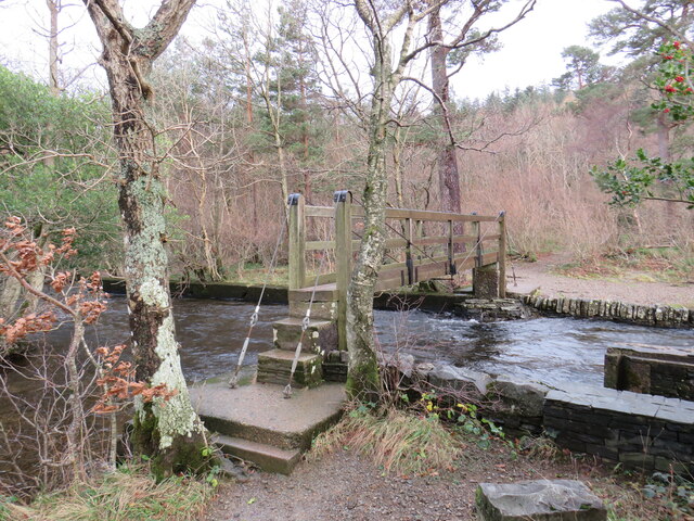
For visitors, Gillbottom Wood offers numerous walking and hiking trails that wind through its enchanting landscape. These trails cater to different levels of difficulty and provide an opportunity to explore the forest's hidden gems. Along the way, visitors may come across babbling brooks, ancient ruins, and even a small waterfall, adding to the sense of adventure and discovery.

Overall, Gillbottom Wood in Cumberland is a haven of natural beauty, providing a peaceful retreat for those seeking solace in the great outdoors. With its stunning scenery, diverse wildlife, and well-maintained trails, it is a must-visit destination for nature lovers and outdoor enthusiasts.

If you have any feedback on the listing, please let us know in the comments section below.

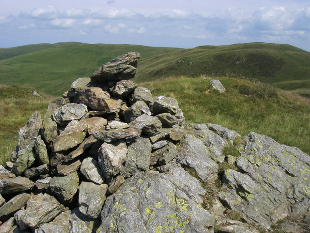
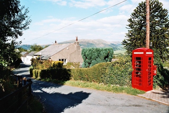
Gillbottom Wood Images

Images are sourced within 2km of 54.592314/-3.3150223 or Grid Reference NY1522. Thanks to Geograph Open Source API. All images are credited.

Ancient sheepfold on the slopes of Darling Fell Good views towards Mellbreak.
Ancient sheepfold on the slopes of Darling Fell
Good views towards Mellbreak.
Zigzag path from Thackthwaite On Smithy Fell.
Zigzag path from Thackthwaite
On Smithy Fell.
Snow on hill road descending to Thackthwaite Thin snow cover on the road which reaches Thackthwaite in the Vale of Lorton.
The slopes across the valley rise to Whiteside and Grasmoor. Crummock Water can be seen in the distance.
Snow on hill road descending to Thackthwaite
Thin snow cover on the road which reaches Thackthwaite in the Vale of Lorton. The slopes across the valley rise to Whiteside and Grasmoor. Crummock Water can be seen in the distance.
The track to Crummock Water through Lanthwaite Wood The track is a public bridleway at the start, but the more permissive right of way branches left shortly, leaving the track as just a footpath to the lake.
The track to Crummock Water through Lanthwaite Wood
The track is a public bridleway at the start, but the more permissive right of way branches left shortly, leaving the track as just a footpath to the lake.
Crummock Water beach Despite being in "The Lake District", most large bodies of water are waters (with the odd mere), not lakes, and Crummock (raised slightly by a pair of dams) is no exception.
Crummock Water beach
Despite being in "The Lake District", most large bodies of water are waters (with the odd mere), not lakes, and Crummock (raised slightly by a pair of dams) is no exception.
The more Northeasterly of two small dams raising the level of Crummock Water
Slopes descending from Whin Ben The western side of Whin Ben descending to the fields around Peel Place.
The undulating hill country about Fellbarrow and Low Fell is at the centre of the image; the modest feature of Scale Fell is nearer.
Slopes descending from Whin Ben
The western side of Whin Ben descending to the fields around Peel Place. The undulating hill country about Fellbarrow and Low Fell is at the centre of the image; the modest feature of Scale Fell is nearer.
Lanthwaite Wood car park, near Cockermouth A car park at Lanthwaite Wood in the Lake District.
Lanthwaite Wood car park, near Cockermouth
A car park at Lanthwaite Wood in the Lake District.
Lanthwaite Wood car park, near Cockermouth A path leading into Lanthwaite Wood in the Lake District.  The wood is owned and managed by the National Trust.
Lanthwaite Wood car park, near Cockermouth
A path leading into Lanthwaite Wood in the Lake District. The wood is owned and managed by the National Trust.
River Cocker at Lanthwaite Wood, near Cockermouth A view through the trees of Lanthwaite Wood, to a band in the River Cocker.  The woodland is owned and managed by the Naitonal Trust.
River Cocker at Lanthwaite Wood, near Cockermouth
A view through the trees of Lanthwaite Wood, to a band in the River Cocker. The woodland is owned and managed by the Naitonal Trust.
Paths in Lanthwaite Wood, near Cockermouth A fork in the paths through Lanthwaite Wood, a woodland in the Lake District managed by the National Trust.
Paths in Lanthwaite Wood, near Cockermouth
A fork in the paths through Lanthwaite Wood, a woodland in the Lake District managed by the National Trust.
Paths at Crummock Water, near Cockermouth Paths leading out of woodland onto the shore of Crummock Water, in the Lake District.  The woodland is managed by the National Trust.
Paths at Crummock Water, near Cockermouth
Paths leading out of woodland onto the shore of Crummock Water, in the Lake District. The woodland is managed by the National Trust.
Crummock Water, near Keswick A view of Crummock Water in the Lake District, taken in dull and damp conditions on a late November day.  Here, water flows out of the lake over a weir.
Crummock Water, near Keswick
A view of Crummock Water in the Lake District, taken in dull and damp conditions on a late November day. Here, water flows out of the lake over a weir.
Weir at Crummock Water, near Keswick Water flows out of Crummock Water over a weir, into the River Cocker.
Weir at Crummock Water, near Keswick
Water flows out of Crummock Water over a weir, into the River Cocker.
Footbridge over the River Cocker, near Keswick The River Cocker flows out of Crummock Water here.  This is one of two footbridges carrying a lakeside path across the river.
Footbridge over the River Cocker, near Keswick
The River Cocker flows out of Crummock Water here. This is one of two footbridges carrying a lakeside path across the river.
Trees at field edge A view across a field from the B5289 south of Hopebeck Bridge to the trees which line Hope Beck. There's a pile of broken branches in view and there are other similar heaps nearby, debris probably of the winter  storms of 2021 / 2022.
Trees at field edge
A view across a field from the B5289 south of Hopebeck Bridge to the trees which line Hope Beck. There's a pile of broken branches in view and there are other similar heaps nearby, debris probably of the winter storms of 2021 / 2022.
Sunshine creeping across fields and trees An eastwards view from a minor road at Brackenthwaite, north of Crummock Water.
The mountain slope in the distance is the west face of Whiteside.
Sunshine creeping across fields and trees
An eastwards view from a minor road at Brackenthwaite, north of Crummock Water. The mountain slope in the distance is the west face of Whiteside.
Low Fell Summit Low Fell summit the Wainwright top
Low Fell Summit
Low Fell summit the Wainwright top
Show me another place!

Gillbottom Wood is located at Grid Ref: NY1522 (Lat: 54.592314, Lng: -3.3150223)

Administrative County: Cumbria

District: Allerdale

Police Authority: Cumbria

What 3 Words

///touchy.plodding.aspect. Near Cockermouth, Cumbria

Related Wikis

Brackenthwaite, Buttermere

Brackenthwaite is a settlement and former civil parish, now in the parish of Buttermere, in the unitary authority area of Cumberland, in the ceremonial...

Thackthwaite

Thackthwaite is a village in Cumbria, England, from which hikers can climb Low Fell and Fellbarrow. The place-name contains thwaite ("clearing"). A second...

Brackenthwaite Hows

Brackenthwaite Hows (also known as Lanthwaite Hill) is a hill in the Lake District of North West England. Crummock Water, Looking Towards Buttermere, a...

Low Fell (Lake District)

Low Fell is a fell in the English Lake District. It overlooks the lake of Loweswater to the south and to the north is bordered by its neighbour Fellbarrow...

Nearby Amenities

Located within 500m of 54.592314,-3.3150223
Redhow
Place: locality
Lat/Long: 54.5944344/-3.3180535
High Latterhead
Place: locality
Lat/Long: 54.5930382/-3.3195393
Latterhead
Place: locality
Lat/Long: 54.591611/-3.3184563
Cornhow
Place: locality
Lat/Long: 54.5892563/-3.3147446
Hollowmires Wood
Natural: wood
Lat/Long: 54.5901846/-3.3149048
Gillbottom Wood
Natural: wood
Lat/Long: 54.5926114/-3.3144736
Blakehill Wood
Natural: wood
Lat/Long: 54.5944832/-3.3138184
Power: pole
Lat/Long: 54.594971/-3.3201266
Power: pole
Lat/Long: 54.5940532/-3.3199666
Power: pole
Lat/Long: 54.5931378/-3.3194805
Power: pole
Lat/Long: 54.5941577/-3.3188971
Power: pole
Lat/Long: 54.594288/-3.3184616
Power: pole
Lat/Long: 54.5924595/-3.3191179
Power: pole
Lat/Long: 54.5915346/-3.3181618
Power: pole
Lat/Long: 54.5884008/-3.3182205
Power: pole
Lat/Long: 54.589098/-3.3195554
Power: pole
Lat/Long: 54.5899419/-3.320315
Power: pole
Lat/Long: 54.5907823/-3.3191948
Power: pole
Lat/Long: 54.5879865/-3.3157715
The data included in this document is from www.openstreetmap.org. The data is made available under ODbL.

Have you been to Gillbottom Wood?

Leave your review of Gillbottom Wood below (or comments, questions and feedback).