Keld Plantation

Wood, Forest in Cumberland Allerdale

England

Keld Plantation

Direction Sign - Signpost northeast of Aldoth Located on the west side of a junction northeast of Aldoth, in Holme Abbey parish. 3 arms, 1 missing, and pawn finial. The missing arm displayed TARNS 1¾ / MAWBRAY 4 / SILLOTH 4½ and was lost some time after April 2011.

Milestone Society National ID: CU_NY1449
Direction Sign - Signpost northeast of Aldoth Credit: B Todd

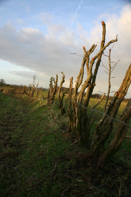
Keld Plantation is a historic woodland located in Cumberland, England. Nestled within the picturesque countryside, this sprawling forest covers an area of approximately 500 acres. The plantation is predominantly comprised of ancient woodlands, boasting a diverse range of tree species, including oak, beech, and birch, among others.

The plantation has a rich history dating back several centuries. Originally established in the 17th century, it was primarily used for timber production, providing a valuable resource for shipbuilding during the height of the naval industry. Over the years, Keld Plantation underwent various management practices, ensuring the sustainable growth and maintenance of the woodland. Today, it stands as a testament to the region's deep-rooted connection with nature and its commitment to preserving its natural heritage.

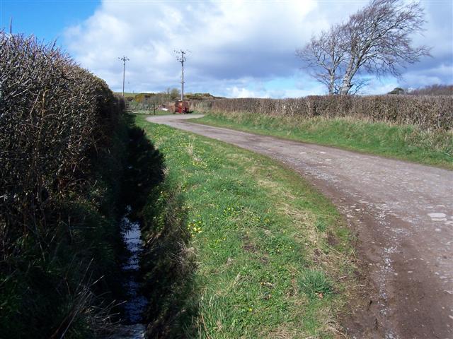
Visitors to Keld Plantation can explore a network of well-maintained trails that wind through the enchanting woodland. The plantation offers an ideal setting for nature enthusiasts, walkers, and cyclists, with its serene atmosphere and breathtaking scenery. Wildlife is abundant, and visitors may catch a glimpse of native species such as deer, foxes, and a wide variety of birdlife.

In addition to its natural beauty, Keld Plantation has also become a popular destination for educational and recreational activities. The woodland provides a unique learning environment for schools and environmental groups, with opportunities for studying biodiversity, conservation, and sustainable land management.

Overall, Keld Plantation serves as a cherished natural treasure in Cumberland, offering a haven for wildlife, a place of tranquility for visitors, and a valuable educational resource for future generations.

If you have any feedback on the listing, please let us know in the comments section below.

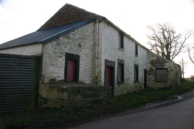
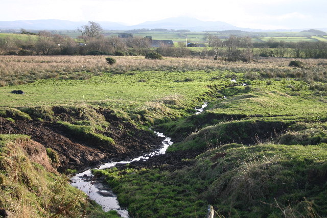
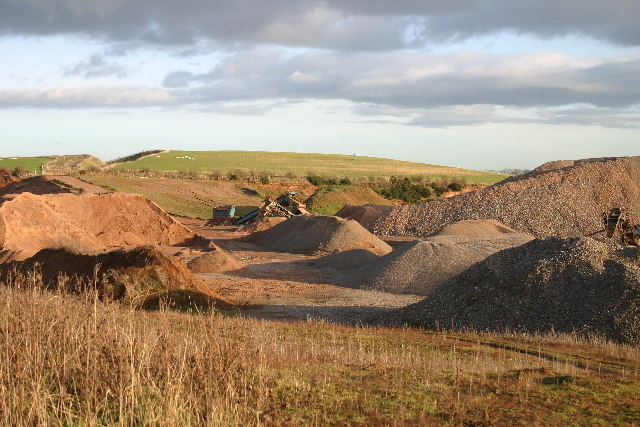
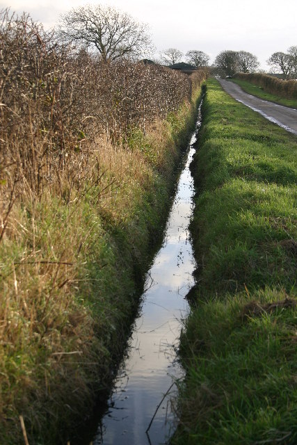
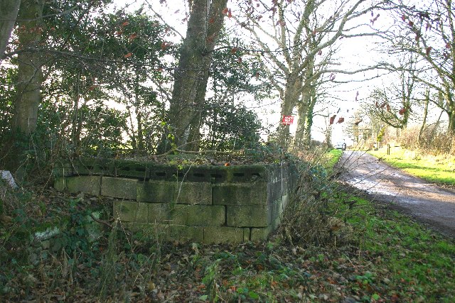
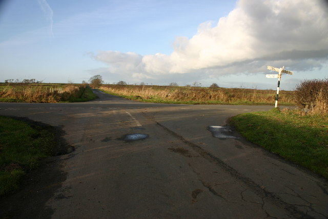
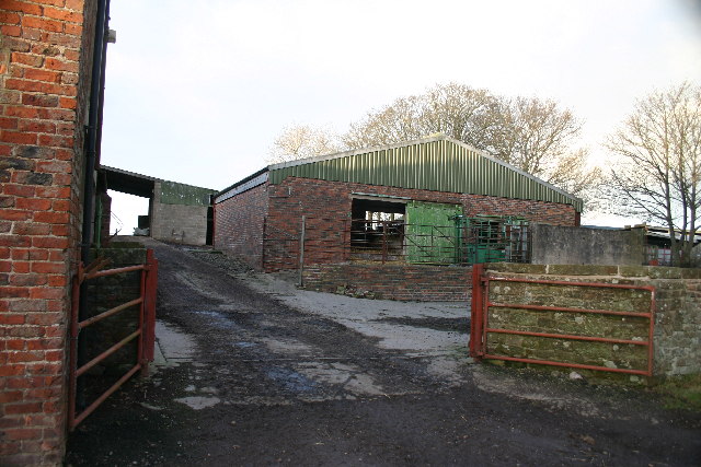
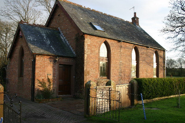
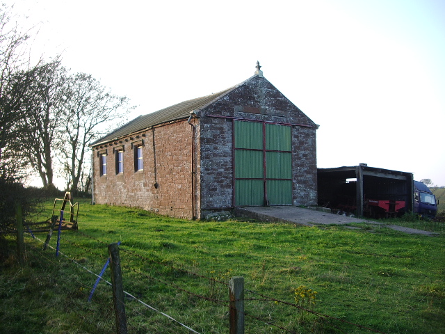
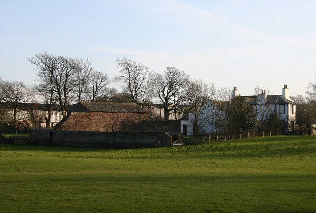
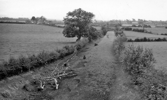
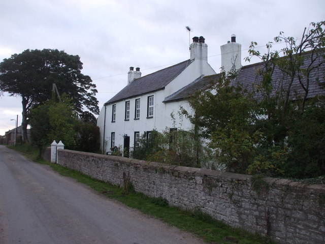
Keld Plantation Images

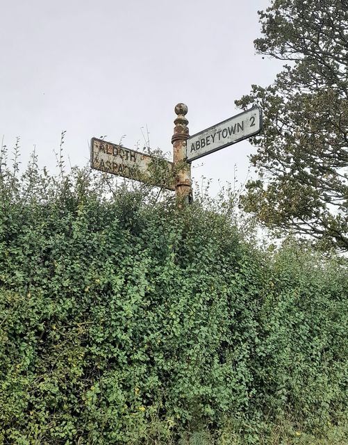
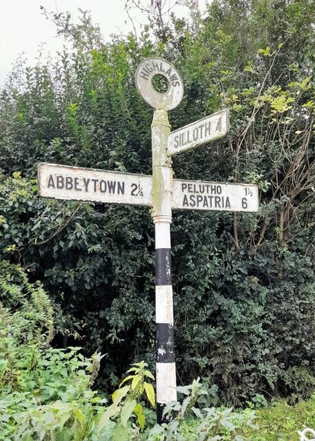
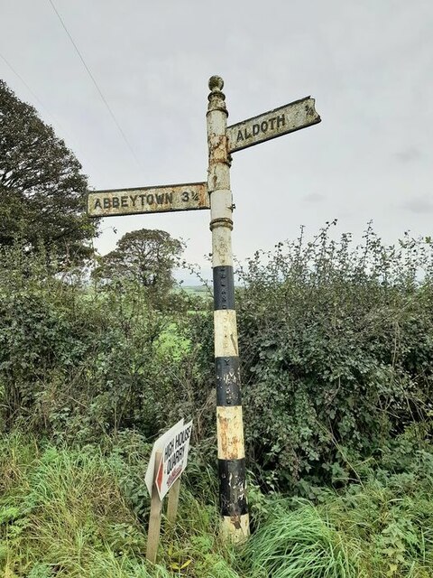
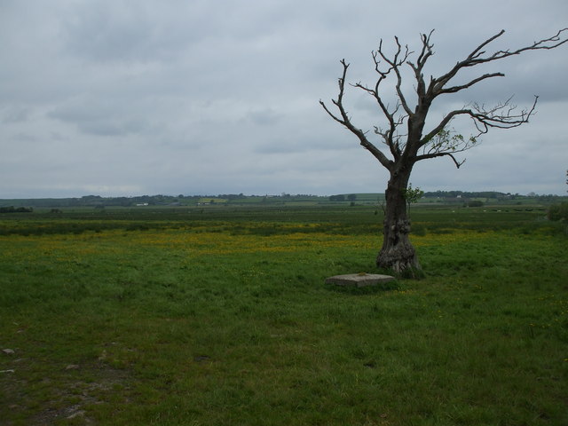
Images are sourced within 2km of 54.820582/-3.322664 or Grid Reference NY1548. Thanks to Geograph Open Source API. All images are credited.

Direction Sign - Signpost northeast of Aldoth Located on the west side of a junction northeast of Aldoth, in Holme Abbey parish. 3 arms, 1 missing, and pawn finial. The missing arm displayed TARNS 1¾ / MAWBRAY 4 / SILLOTH 4½ and was lost some time after April 2011.

Milestone Society National ID: CU_NY1449
Direction Sign - Signpost northeast of Aldoth
Located on the west side of a junction northeast of Aldoth, in Holme Abbey parish. 3 arms, 1 missing, and pawn finial. The missing arm displayed TARNS 1¾ / MAWBRAY 4 / SILLOTH 4½ and was lost some time after April 2011. Milestone Society National ID: CU_NY1449
Direction Sign - Signpost at Highlaws Located on the south side of a junction in Highlaws, in Holme Abbey parish. 3 arms and annulus finial.

Milestone Society National ID: CU_NY1449A
Direction Sign - Signpost at Highlaws
Located on the south side of a junction in Highlaws, in Holme Abbey parish. 3 arms and annulus finial. Milestone Society National ID: CU_NY1449A
Direction Sign - Signpost near Cobble Hall Located on the southeast side of the T junction near Cobble Hall, in Holme Abbey parish. 3 arms, 1 missing, and pawn finial. The missing arm indicated ASPATRIA 4¾ and was lost between May 2009 and March 2010.

Milestone Society National ID: CU_NY1347
Direction Sign - Signpost near Cobble Hall
Located on the southeast side of the T junction near Cobble Hall, in Holme Abbey parish. 3 arms, 1 missing, and pawn finial. The missing arm indicated ASPATRIA 4¾ and was lost between May 2009 and March 2010. Milestone Society National ID: CU_NY1347
Track to Southerfield House Although this track is wide enough to easily take large tractors it is only marked down as a footpath, not a bridleway!
Track to Southerfield House
Although this track is wide enough to easily take large tractors it is only marked down as a footpath, not a bridleway!
Holme Dub Moss A low lying wetland that was probably drained in the late 18thC or early 19thC. The tree is dying because its roots are too wet.
Holme Dub Moss
A low lying wetland that was probably drained in the late 18thC or early 19thC. The tree is dying because its roots are too wet.
Ploughed  field Strip fields to the west of Clappers, across Common Moss
Ploughed field
Strip fields to the west of Clappers, across Common Moss
Bog The derelict farm is called Bog
Bog
The derelict farm is called Bog
Drainage ditch Runs past Cowfold Farm into Common Moss
Drainage ditch
Runs past Cowfold Farm into Common Moss
Sand Pit Small-scale sand extraction
Sand Pit
Small-scale sand extraction
Drainage Ditch Runs from Smarthill
Drainage Ditch
Runs from Smarthill
Old Milk Stand At Southerfield House
Old Milk Stand
At Southerfield House
Rural Crossroads
Rural Crossroads
Farm Buildings, Highlaws
Foulsyke Chapel
Foulsyke Chapel
Extreme Hedging This once-overgrown hedge has been rather severely cut back
Extreme Hedging
This once-overgrown hedge has been rather severely cut back
Track to Weary Hall Quite a pronounced S in this track. Great for rally drivers if it were allowed.
Track to Weary Hall
Quite a pronounced S in this track. Great for rally drivers if it were allowed.
Sotherfield Farm. Undergoing major reconstruction.
Sotherfield Farm.
Undergoing major reconstruction.
Mereside Farm. Spring lambs in the home field.
Mereside Farm.
Spring lambs in the home field.
Show me another place!

Keld Plantation is located at Grid Ref: NY1548 (Lat: 54.820582, Lng: -3.322664)

Administrative County: Cumbria

District: Allerdale

Police Authority: Cumbria

What 3 Words

///backhand.segmented.funny. Near Aspatria, Cumbria

Related Wikis

Aldoth

Aldoth is a hamlet in the civil parish of Holme Abbey in Cumberland, Cumbria, United Kingdom. It is situated approximately two-and-a-half miles south-west...

Highlaws

Highlaws is a hamlet in the civil parish of Holme Abbey in Cumbria, United Kingdom. It is situated approximately two-and-a-quarter miles south-west of...

Foulsyke

Foulsyke is a small hamlet on the boundary between the civil parishes of Holme Abbey and Holme St. Cuthbert in Cumbria, United Kingdom. It is located just...

Langrigg Hall

Langrigg Hall is a country house near the village of Langrigg in Cumbria. It is a Grade II listed building. == History == The hall was reconstructed by...

Bromfield railway station (Cumbria)

Bromfield was a railway station which served Bromfield, a small settlement in Cumbria on the English side of the Solway Firth. The station opened in 1873...

Langrigg

Langrigg is a hamlet in Cumbria, England. It lies to the northeast of Aspatria and south of Abbeytown, just to the southwest of Bromfield. Historically...

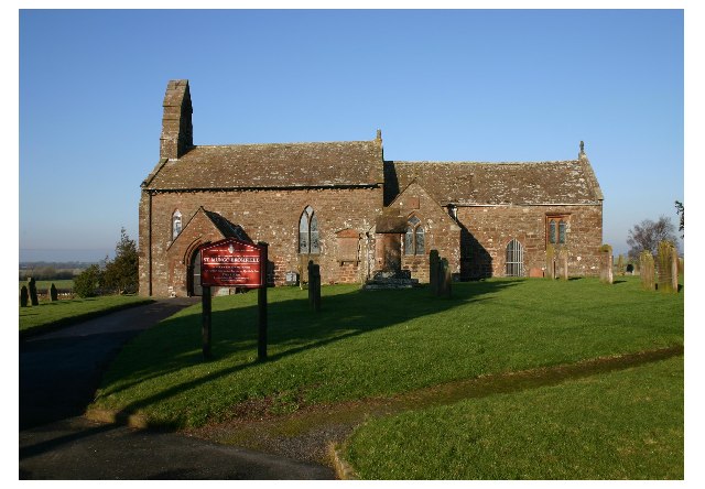
St Mungo's Church, Bromfield

St Mungo's Church is in the village of Bromfield, Cumbria, England. It is an active Anglican parish church in the deanery of Solway, the archdeaconry...
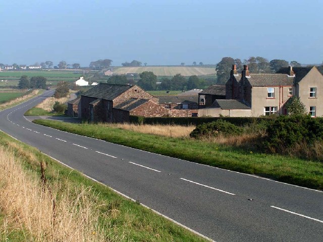
Bromfield, Cumbria

Bromfield is a village and civil parish in Cumbria, in the north of England. It is about five miles north-east of Aspatria. According to the 2001 census...

Nearby Amenities

Located within 500m of 54.820582,-3.322664
Power: pole
Lat/Long: 54.8185333/-3.3293705
Power: pole
Lat/Long: 54.8187595/-3.3277834
Power: pole
Lat/Long: 54.8189917/-3.3261631
Power: pole
Lat/Long: 54.8191964/-3.3245739
Power: pole
Lat/Long: 54.8192909/-3.3231281
Power: pole
Lat/Long: 54.8193687/-3.321192
Power: pole
Lat/Long: 54.8194561/-3.3194907
Power: pole
Lat/Long: 54.8200533/-3.3180407
Power: pole
Lat/Long: 54.8205033/-3.3169667
Power: pole
Lat/Long: 54.8209641/-3.3158241
Power: pole
Lat/Long: 54.8218103/-3.3162168
The data included in this document is from www.openstreetmap.org. The data is made available under ODbL.

Have you been to Keld Plantation?

Leave your review of Keld Plantation below (or comments, questions and feedback).