Southerfield
Settlement in Cumberland Allerdale
England
Southerfield
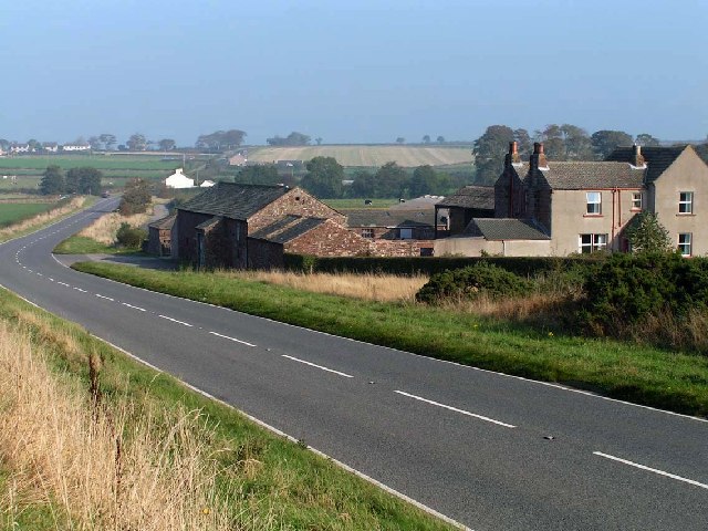
Southerfield is a small village located in the county of Cumberland, in the northwest of England. Situated near the border with Scotland, it is nestled in a picturesque valley surrounded by rolling hills and lush green countryside. The village is part of the Allerdale borough and falls within the civil parish of Holme St Cuthbert.
The history of Southerfield dates back centuries, with evidence of human habitation dating as far back as the Bronze Age. Over the years, the village has seen various influences, from Roman occupation to Viking invasions, leaving behind a rich historical legacy.
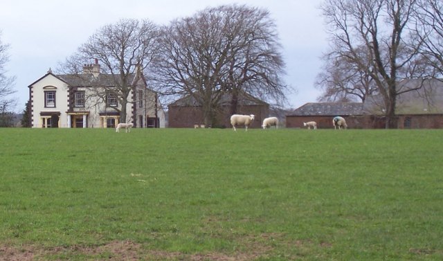
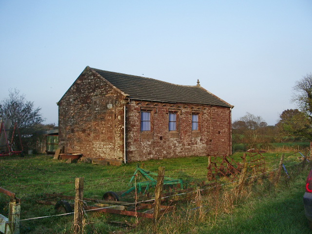
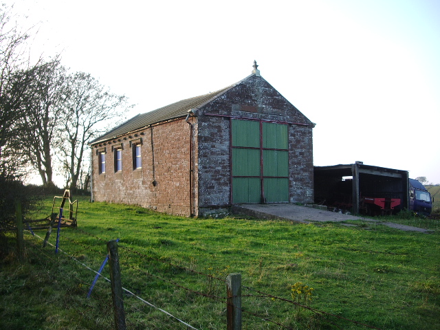
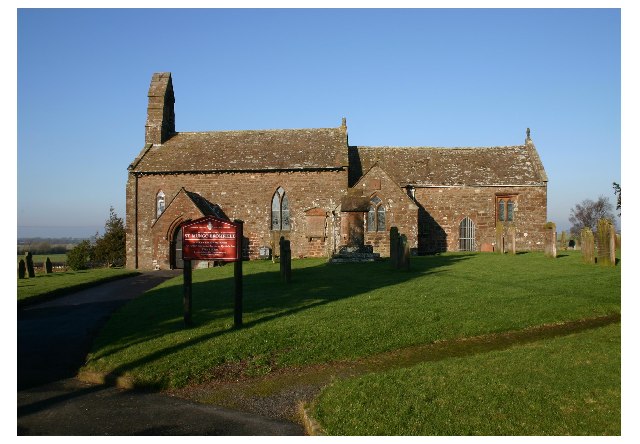
Today, Southerfield is a close-knit community with a population of around 500 residents. The village retains its traditional charm, with a cluster of stone cottages and a quaint village green at its heart. The local St Cuthbert's Church, a Grade I listed building, stands as a testament to the area's religious heritage.
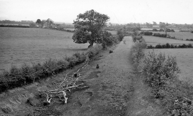
The village is primarily agricultural, with farming playing a significant role in the local economy. Southerfield's fertile land supports the cultivation of crops and the rearing of livestock. In recent years, there has been a rise in tourism, with visitors attracted to the area's natural beauty and opportunities for outdoor activities such as hiking and fishing.
Although Southerfield does not have extensive amenities, it boasts a small village hall and a primary school, providing essential facilities for the local community. Residents often gather for community events and socialize at the village pub, which serves as a hub for social interactions.
Overall, Southerfield offers a tranquil and idyllic setting, perfect for those seeking a peaceful retreat amidst the stunning landscapes of Cumberland.
If you have any feedback on the listing, please let us know in the comments section below.
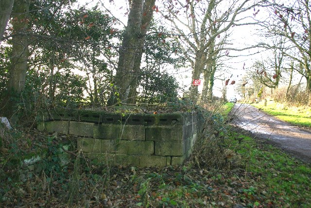
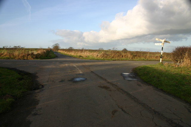
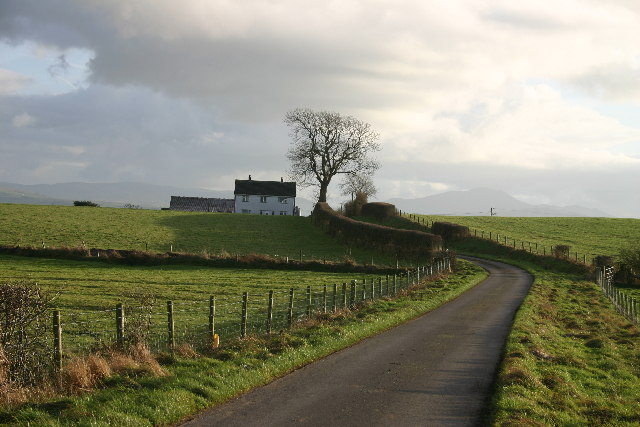
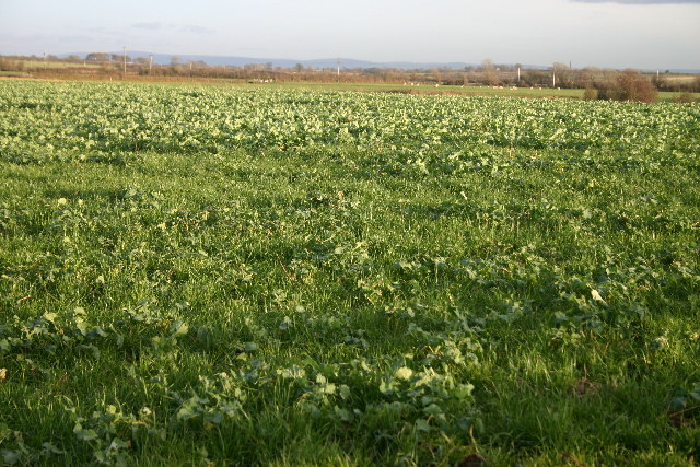
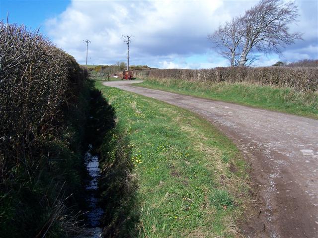
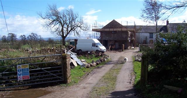
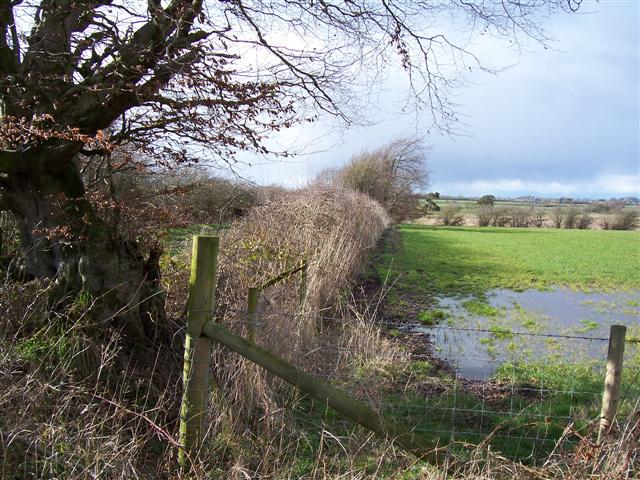
Southerfield Images
Images are sourced within 2km of 54.826532/-3.3102651 or Grid Reference NY1548. Thanks to Geograph Open Source API. All images are credited.


Southerfield is located at Grid Ref: NY1548 (Lat: 54.826532, Lng: -3.3102651)
Administrative County: Cumbria
District: Allerdale
Police Authority: Cumbria
What 3 Words
///identify.extremes.televise. Near Silloth, Cumbria
Nearby Locations
Related Wikis

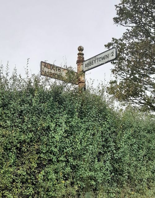
Aldoth
Aldoth is a hamlet in the civil parish of Holme Abbey in Cumberland, Cumbria, United Kingdom. It is situated approximately two-and-a-half miles south-west...

Highlaws
Highlaws is a hamlet in the civil parish of Holme Abbey in Cumbria, United Kingdom. It is situated approximately two-and-a-quarter miles south-west of...
St Mungo's Church, Bromfield
St Mungo's Church is in the village of Bromfield, Cumbria, England. It is an active Anglican parish church in the deanery of Solway, the archdeaconry...
Bromfield, Cumbria
Bromfield is a village and civil parish in Cumbria, in the north of England. It is about five miles north-east of Aspatria. According to the 2001 census...

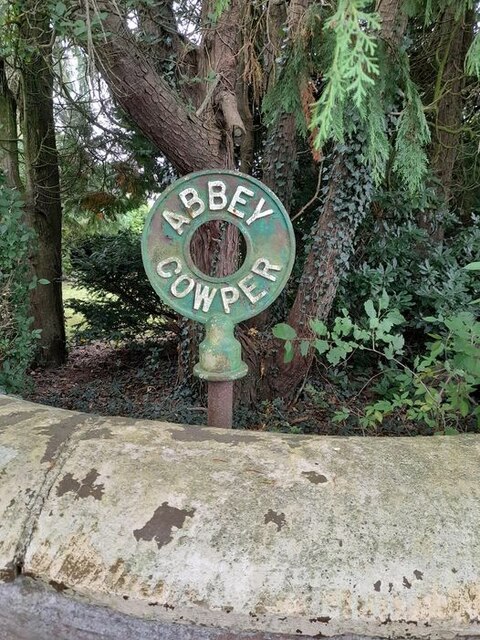
Abbeytown
Abbeytown, also known as Holme Abbey, is a village and civil parish in the Allerdale borough of Cumbria, England. The name Abbeytown dates to the mid-17th...

Solway Plain
The Solway Plain or Solway Basin is a coastal plain located mostly in northwest Cumbria in England, extending just over the Scottish border to the low...

Foulsyke
Foulsyke is a small hamlet on the boundary between the civil parishes of Holme Abbey and Holme St. Cuthbert in Cumbria, United Kingdom. It is located just...
Bromfield railway station (Cumbria)
Bromfield was a railway station which served Bromfield, a small settlement in Cumbria on the English side of the Solway Firth. The station opened in 1873...
Nearby Amenities
Located within 500m of 54.826532,-3.3102651Have you been to Southerfield?
Leave your review of Southerfield below (or comments, questions and feedback).