Southernden

Settlement in Kent Maidstone

England

Southernden

Farm Building Near Ulcombe Situated close to Mansion House Farm, Crumps Lane
Farm Building Near Ulcombe Credit: John Brown

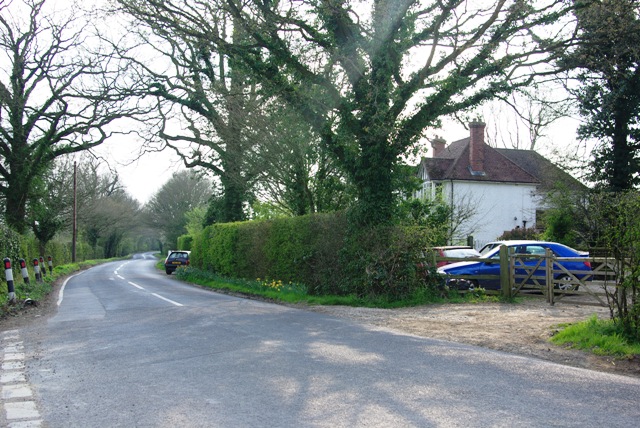
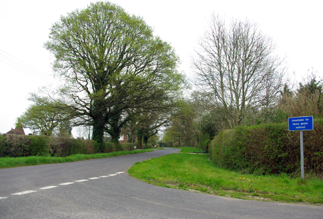
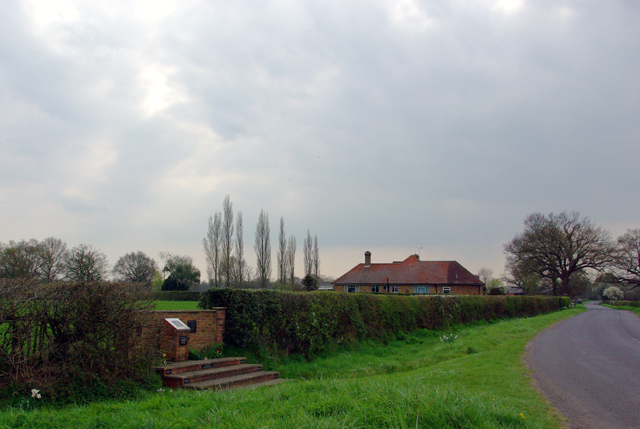
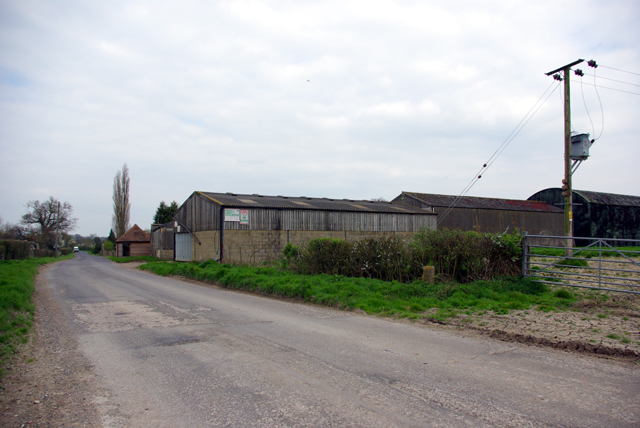
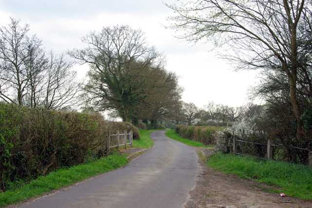
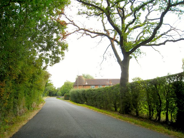
Southernden is a small village located in the county of Kent, in southeastern England. Situated approximately 5 miles southeast of Maidstone, it falls within the civil parish of Ulcombe. The village is nestled amidst the beautiful countryside of the Kent Downs, an Area of Outstanding Natural Beauty.

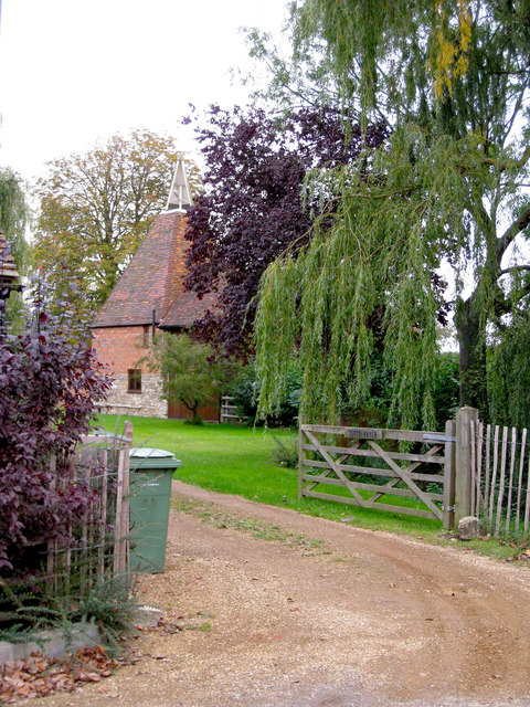
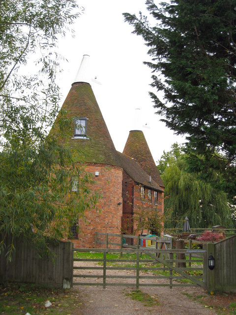
Southernden is characterized by its picturesque and serene setting, with rolling hills, lush green fields, and charming country lanes. The village itself is relatively small, consisting of a collection of traditional English cottages and farmhouses. The community in Southernden is close-knit and friendly, reflecting the rural charm that is often associated with the area.

The village offers a peaceful and idyllic lifestyle, away from the hustle and bustle of larger towns and cities. Residents and visitors alike can enjoy the tranquility of the countryside, taking leisurely walks or bike rides along the many footpaths and trails that surround the village.

While Southernden is primarily a residential area, there are some amenities nearby. The village of Ulcombe, just a short distance away, provides a primary school, a church, and a local pub. For more extensive amenities, the larger town of Maidstone is easily accessible, offering a wider range of shops, restaurants, and leisure facilities.

In summary, Southernden is a charming and peaceful village in the heart of the Kent countryside. Its idyllic setting, friendly community, and proximity to both nature and larger towns make it an attractive place to live or visit for those seeking a slower-paced, rural lifestyle.

If you have any feedback on the listing, please let us know in the comments section below.
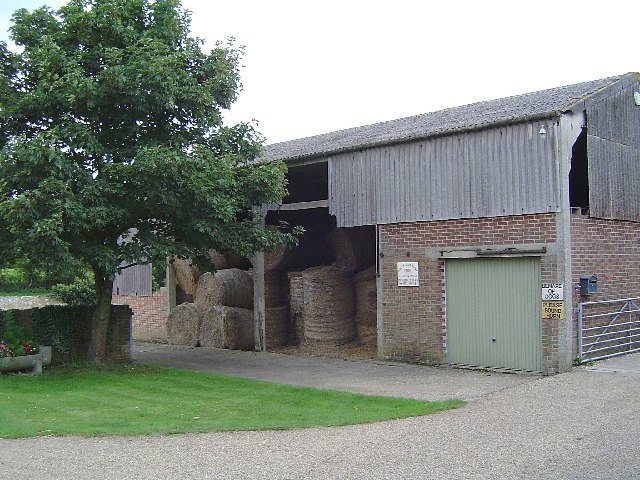
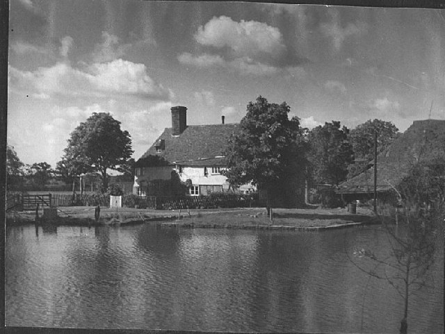
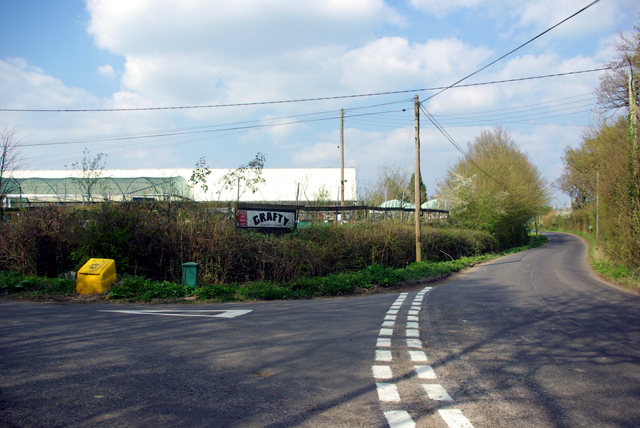
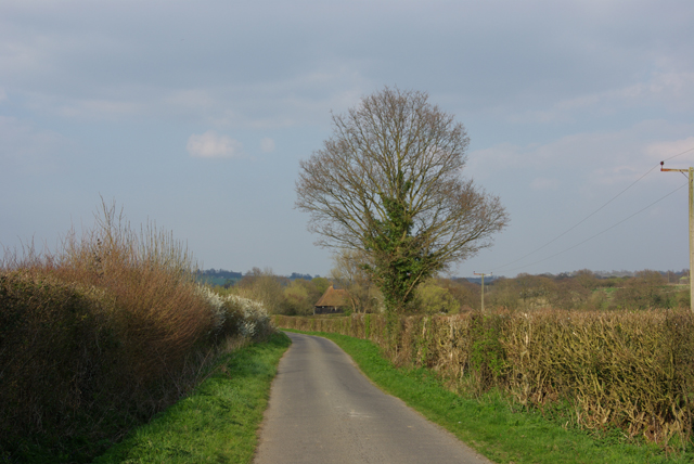
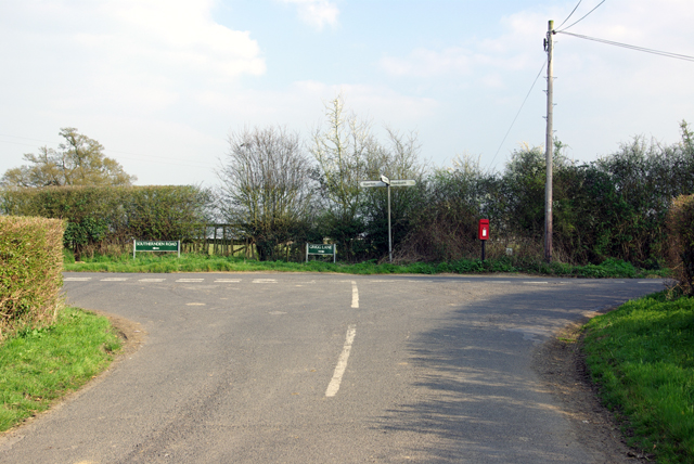
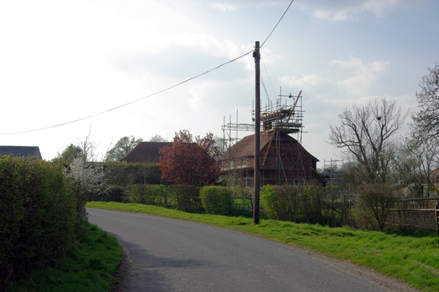
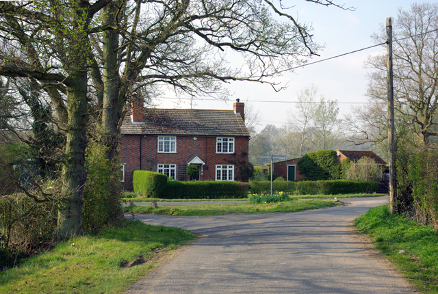
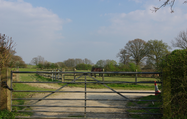
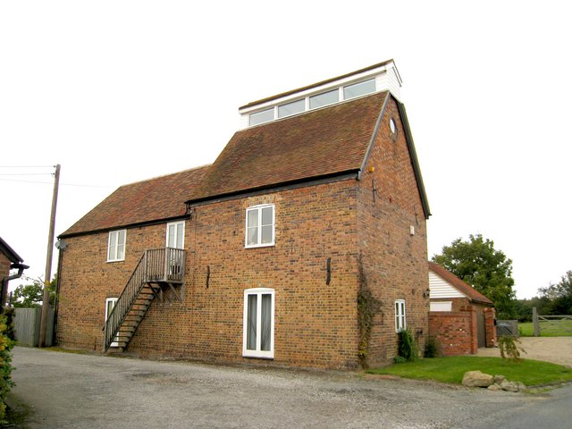
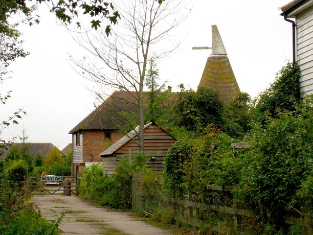
Southernden Images

Images are sourced within 2km of 51.18312/0.66625134 or Grid Reference TQ8646. Thanks to Geograph Open Source API. All images are credited.

Farm Building Near Ulcombe Situated close to Mansion House Farm, Crumps Lane
Farm Building Near Ulcombe
Situated close to Mansion House Farm, Crumps Lane
Grigg Farm, Headcorn Picture taken in 1922. View is very much the same now. I was brought up here.
Grigg Farm, Headcorn
Picture taken in 1922. View is very much the same now. I was brought up here.
Corner by Grafty Garden Centre To the left is Crump's Lane. Over the hedge, Willington Nurseries on the map, but  now called Grafty Garden Centre.
Corner by Grafty Garden Centre
To the left is Crump's Lane. Over the hedge, Willington Nurseries on the map, but now called Grafty Garden Centre.
Southernden Road The only significance this section of lane has is that the OS have a spot height of 41 m about 40m ahead. Did they choose this location because of the tree?
Southernden Road
The only significance this section of lane has is that the OS have a spot height of 41 m about 40m ahead. Did they choose this location because of the tree?
Southerden Road/Grigg Lane Southerden Road to the left becomes Grigg Lane to the right. The view is from an unnamed road on the map.
Southerden Road/Grigg Lane
Southerden Road to the left becomes Grigg Lane to the right. The view is from an unnamed road on the map.
Work in hand The chimneys are receiving attention on this house in the hamlet of Southerden.
Work in hand
The chimneys are receiving attention on this house in the hamlet of Southerden.
Thornden Cottage At the junction of the lane through Southernden and Lenham Road.
Thornden Cottage
At the junction of the lane through Southernden and Lenham Road.
Gates and fences And a horse who decided to start grazing again at the wrong moment!
Gates and fences
And a horse who decided to start grazing again at the wrong moment!
Sunnyside Farm By the junction of Baker Lane, just visible on the left, and Lenham Road.
Sunnyside Farm
By the junction of Baker Lane, just visible on the left, and Lenham Road.
Swift's Green Bedlam Lane at the corner with Rosemary Lane, which is unsuitable for heavy goods vehicles.
Swift's Green
Bedlam Lane at the corner with Rosemary Lane, which is unsuitable for heavy goods vehicles.
Roadside Memorial World War II.
Roadside Memorial
World War II.
Kingsden Farm Bedlam Lane passes the barns of the farm.
Kingsden Farm
Bedlam Lane passes the barns of the farm.
Sherway Bridge The stream beneath is a local authority boundary.
Sherway Bridge
The stream beneath is a local authority boundary.
Bramling Oast, Lenham Road, near Headcorn, Kent Single round kiln oast house.
Bramling Oast, Lenham Road, near Headcorn, Kent
Single round kiln oast house.
Southernden, Southerden Road, Headcorn, Kent Single square kiln oast house.
Southernden, Southerden Road, Headcorn, Kent
Single square kiln oast house.
Southernden Oast, Southernden Road, Headcorn, Kent Twin round kiln oast house. Kiln to each end of stowage.
Southernden Oast, Southernden Road, Headcorn, Kent
Twin round kiln oast house. Kiln to each end of stowage.
Wallett Court Oast, Southernden Lane, Headcorn, Kent Single square kiln ridge ventilated oast house.
Wallett Court Oast, Southernden Lane, Headcorn, Kent
Single square kiln ridge ventilated oast house.
Mutleys Oast, Swifts Green, Smarden, Kent Single round kiln oast house, converted to a dwelling around 1987.
Mutleys Oast, Swifts Green, Smarden, Kent
Single round kiln oast house, converted to a dwelling around 1987.
Show me another place!

Southernden is located at Grid Ref: TQ8646 (Lat: 51.18312, Lng: 0.66625134)

Administrative County: Kent

District: Maidstone

Police Authority: Kent

What 3 Words

///anyone.political.flagging. Near Headcorn, Kent

Nearby Locations

Southpark Wood Southernden

Related Wikis

RAF Headcorn

Royal Air Force Headcorn or more commonly known as RAF Headcorn is a former Royal Air Force Advanced Landing Ground located 2 miles (3.2 km) northeast...

Rivers of Kent

Four major rivers drain the county of Kent, England. == River Medway == The catchment area of the Medway covers almost 25% of the county. The detailed...

Kent

Kent is a county in the South East England region, the closest county to continental Europe. It borders Essex across the entire estuary of the River Thames...

Grafty Green

Grafty Green is a village in the Maidstone district of Kent, England, falling within the civil parish of Boughton Malherbe. It contains two public houses...

Nearby Amenities

Located within 500m of 51.18312,0.66625134
Post Box
Post Box Mounting: pier
Post Box Type: lamp
Postal Code: TN27
Ref: TN27 89
Lat/Long: 51.1808852/0.6714321
The data included in this document is from www.openstreetmap.org. The data is made available under ODbL.

Have you been to Southernden?

Leave your review of Southernden below (or comments, questions and feedback).