Southfield

Settlement in Somerset

England

Southfield

Sheepwash Bridge at Radstock
Sheepwash Bridge at Radstock Credit: Sandy Gerrard

Southfield is a small village located in the county of Somerset, England. It is situated in the picturesque countryside, surrounded by rolling hills and lush green fields. The village is part of the Sedgemoor district and is approximately 5 miles northeast of the town of Bridgwater.

Southfield is a close-knit community with a population of around 500 residents. The village is known for its tranquil and peaceful atmosphere, making it an ideal place for those seeking a peaceful countryside lifestyle. The village is characterized by its charming, traditional English cottages, which add to its overall charm and beauty.

A notable feature of Southfield is its beautiful St. Mary's Church, which dates back to the 13th century. The church is a hub for the local community and hosts regular services and events throughout the year. It is also a popular destination for visitors due to its stunning architecture and historical significance.

In terms of amenities, Southfield boasts a small village shop that caters to the daily needs of its residents. However, for more extensive shopping and entertainment options, residents often travel to nearby towns such as Bridgwater or Taunton.

The village is surrounded by picturesque countryside, offering residents and visitors ample opportunities for outdoor activities such as hiking, cycling, and nature walks. The rolling hills and scenic landscapes provide a perfect backdrop for those looking to explore the natural beauty of Somerset.

Overall, Southfield is a charming and idyllic village that offers a peaceful and rural lifestyle, making it an attractive place to live or visit for those seeking a tranquil countryside experience.

If you have any feedback on the listing, please let us know in the comments section below.
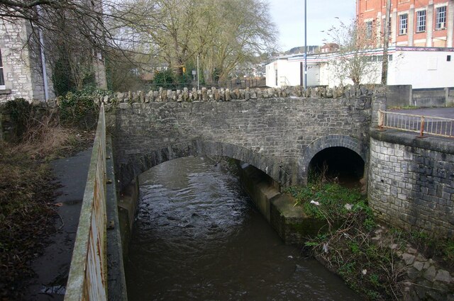
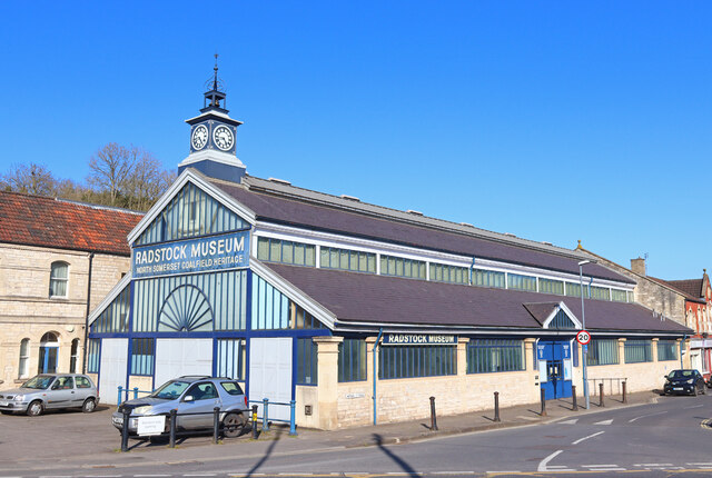
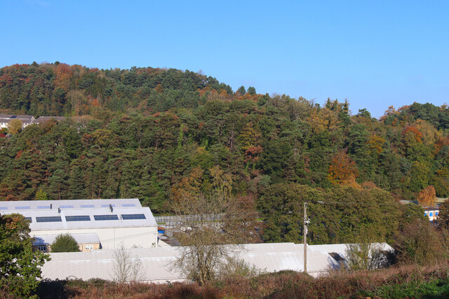
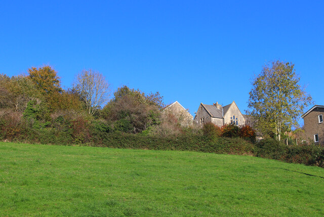
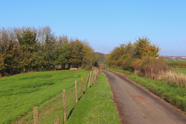
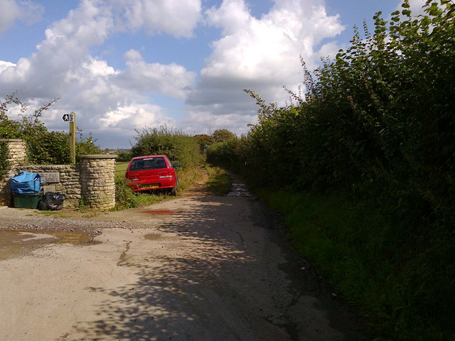
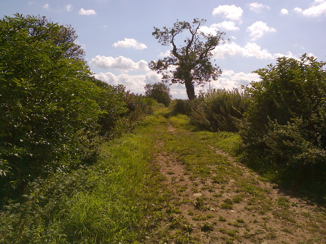
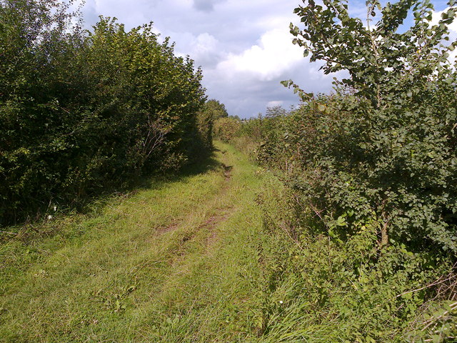
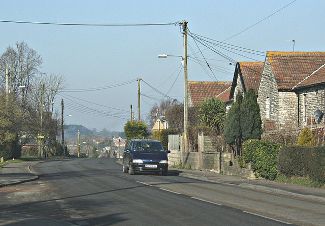
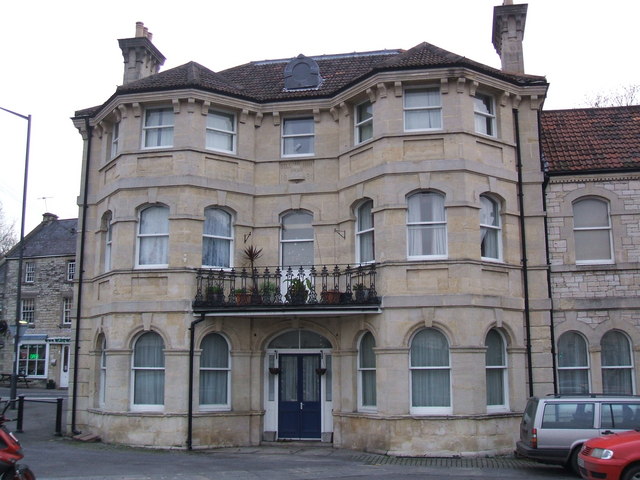
Southfield Images

Images are sourced within 2km of 51.289706/-2.4373005 or Grid Reference ST6954. Thanks to Geograph Open Source API. All images are credited.

Sheepwash Bridge at Radstock
Restaurant in Radstock Castello restaurant in Radstock.
Restaurant in Radstock
Castello restaurant in Radstock.
Radstock Museum Somerset Coalfield Life at Radstock.
Radstock Museum
Somerset Coalfield Life at Radstock.
Factory in Radstock View of the Optima facility in Radstock.
Factory in Radstock
View of the Optima facility in Radstock.
Houses in Clandown Houses on the edge of Clandown.
Houses in Clandown
Houses on the edge of Clandown.
Gassons Country lane and footpath near Shoscombe.
Gassons
Country lane and footpath near Shoscombe.
Country Lane Minor road near Writhlington.
Country Lane
Minor road near Writhlington.
Pit headgear, Lower Writhlington Colliery, Somerset Opened in 1829 Lower Writhlington Colliery lasted until September 1973, when it (& the nearby Kilmersdon Colliery) closed thus ending coal production in Somerset.
Pit headgear, Lower Writhlington Colliery, Somerset
Opened in 1829 Lower Writhlington Colliery lasted until September 1973, when it (& the nearby Kilmersdon Colliery) closed thus ending coal production in Somerset.
Fosse Lane - the end of the tarmac At this point Fosse Lane becomes a Byway Open to All Traffic.  After 200 metres it reaches a T-junction with the ancient Fosseway (also a BOAT).
Fosse Lane - the end of the tarmac
At this point Fosse Lane becomes a Byway Open to All Traffic. After 200 metres it reaches a T-junction with the ancient Fosseway (also a BOAT).
Fosse Way Looking roughly south-west from the junction with the end of Fosse Lane.
Fosse Way
Looking roughly south-west from the junction with the end of Fosse Lane.
Fosse Way Looking North-East towards Clandown from the junction with Fosse Lane.
Fosse Way
Looking North-East towards Clandown from the junction with Fosse Lane.
The Fosse Way at Clandown At this point the Fosse Way leaves the A367 main road.  The sign is out of date; the road is tarmac and easily passable.
The Fosse Way at Clandown
At this point the Fosse Way leaves the A367 main road. The sign is out of date; the road is tarmac and easily passable.
Linear park at Radstock: flower tub commemorating Middle Pit
The Fosseway Byway The Fosseway Byway starts to go downhill at the top of the slope down into Welton Hollow.  The gate into the field above the old railway line can just be seen past the trees.
The Fosseway Byway
The Fosseway Byway starts to go downhill at the top of the slope down into Welton Hollow. The gate into the field above the old railway line can just be seen past the trees.
Field gate on The Fosse Way byway The Byway passes through this articulated gate (you can open just half for horses or all of the gate for larger vehicles) before it crosses the Norton Radstock Greenway bike path.  There are bollards on the Greenway path to prevent vehicles leaving the byway.  The byway is then tarmac up to its junction with the A362.
Field gate on The Fosse Way byway
The Byway passes through this articulated gate (you can open just half for horses or all of the gate for larger vehicles) before it crosses the Norton Radstock Greenway bike path. There are bollards on the Greenway path to prevent vehicles leaving the byway. The byway is then tarmac up to its junction with the A362.
Red bikes not permitted? At first glance it seems this sign had lost some of its original markings. But after some illumination from David H (whom I thank) the sign is indeed a plain red circle, albeit slightly less than pristine. These types of simple prohibitive signs were quite common post-war but some of the first to be replaced in the modern style. This one fights a rear-guard action to remain in situ. At least the words are clear enough.
Red bikes not permitted?
At first glance it seems this sign had lost some of its original markings. But after some illumination from David H (whom I thank) the sign is indeed a plain red circle, albeit slightly less than pristine. These types of simple prohibitive signs were quite common post-war but some of the first to be replaced in the modern style. This one fights a rear-guard action to remain in situ. At least the words are clear enough.
Kilmersdon C of E Primary School Looking from the road down to the school perched at the top of the hill, made famous by Jack and Jill. The well is a Millennium Project and not actually genuine - see <a href="https://www.geograph.org.uk/photo/3331020">ST6952 : A well for wishing, not for pails of water?</a>. Also of note is a benchmark on the corner of the school - see <a href="https://www.geograph.org.uk/photo/3331023">ST6952 : Scholarly benchmark</a>.
Kilmersdon C of E Primary School
Looking from the road down to the school perched at the top of the hill, made famous by Jack and Jill. The well is a Millennium Project and not actually genuine - see ST6952 : A well for wishing, not for pails of water?. Also of note is a benchmark on the corner of the school - see ST6952 : Scholarly benchmark.
A well for wishing, not for pails of water? The school at the top of the hill has benefited from some Millennium Project funding and this feature is part of that. See <a href="https://www.geograph.org.uk/photo/3331017">ST6952 : Kilmersdon C of E Primary School</a> for a wider view.
A well for wishing, not for pails of water?
The school at the top of the hill has benefited from some Millennium Project funding and this feature is part of that. See ST6952 : Kilmersdon C of E Primary School for a wider view.
Show me another place!

Southfield is located at Grid Ref: ST6954 (Lat: 51.289706, Lng: -2.4373005)

Unitary Authority: Bath and North East Somerset

Police Authority: Avon and Somerset

What 3 Words

///vipers.insulated.trouble. Near Radstock, Somerset

Related Wikis

Radstock Town F.C.

Radstock Town Football Club is a football club based in Radstock, Somerset, England. It is a member of the Western League Division One and plays at the...

Writhlington

Writhlington is a suburb of Radstock and 6 miles (10 km) north-west of Frome, in the Bath and North East Somerset district of Somerset, England. ��2�...

Huish Colliery Quarry

Huish Colliery Quarry (grid reference ST695542) is a 0.8 hectare geological Site of Special Scientific Interest near the town of Radstock, Bath and North...

Norton Radstock

Norton Radstock is a former civil parish in the Bath and North East Somerset district, in the ceremonial county of Somerset, England. It covered the conurbation...

Nearby Amenities

Located within 500m of 51.289706,-2.4373005
Barrier: bollard
Bollard: foldable
Lat/Long: 51.2937238/-2.4401365
Writhlington Sports Centre
Leisure: sports_centre
Website: https://www.writhlingtonleisure.co.uk/
Wheelchair: yes
Lat/Long: 51.2876696/-2.4316491
Leisure: playground
Wheelchair: no
Lat/Long: 51.2887561/-2.4389366
Bus Stop
Mount Pleasant
Naptan AtcoCode: 0180BAC31090
Naptan Bearing: E
Naptan CommonName: Mount Pleasant
Naptan Crossing: Maple Rise
Naptan NaptanCode: bthdgpm
Naptan Street: Frome Road
Naptan Verified: no
Shelter: no
Source: naptan_import
Wheelchair: limited
Lat/Long: 51.2904372/-2.435591
Bus Stop
Mount Pleasant
Naptan AtcoCode: 0180BAC31091
Naptan Bearing: W
Naptan CommonName: Mount Pleasant
Naptan Crossing: Mells Lane
Naptan NaptanCode: bthdgmt
Naptan Street: Frome Road
Naptan Verified: no
Source: naptan_import
Wheelchair: limited
Lat/Long: 51.2904316/-2.4370824
Barrier: cycle_barrier
Lat/Long: 51.2894109/-2.4317592
Barrier: kissing_gate
Lat/Long: 51.2888937/-2.4386548
Barrier: kissing_gate
Lat/Long: 51.2898032/-2.4392774
Barrier: stile
Lat/Long: 51.2897662/-2.4389006
Barrier: cycle_barrier
Lat/Long: 51.2904007/-2.4406492
Barrier: kissing_gate
Lat/Long: 51.287659/-2.4380281
Barrier: kissing_gate
Lat/Long: 51.2882541/-2.4390714
Barrier: cycle_barrier
Lat/Long: 51.2883132/-2.4378103
Barrier: bollard
Lat/Long: 51.2936181/-2.4406157
Barrier: stile
Lat/Long: 51.2879517/-2.4412052
Southfield
Place: suburb
Source Ref: NPE
Lat/Long: 51.288894/-2.4399647
Northfield
Place: suburb
Source Ref: NPE
Lat/Long: 51.2912041/-2.4362616
Grit Bin
Lat/Long: 51.2909373/-2.4344685
Cafe
Go Bananas
Addr Postcode: BA3 3NQ
Fhrs Id: 204643
Fixme: rough location
Website: https://www.writhlingtonleisure.co.uk/activities/soft-play-centre/
Wheelchair: yes
Lat/Long: 51.2875057/-2.4314238
Social Facility
Addr Postcode: BA3 3LL
Disused Name: Connections Day Services
Fhrs Id: 1591232
Social Facility: day_care
Lat/Long: 51.289024/-2.4316048
BL&Tea
Addr Postcode: BA3 3JX
Craft: caterer
Fhrs Id: 987018
Website: http://bltea.co.uk/
Lat/Long: 51.2917848/-2.4424314
The Oak Tree Bakery
Addr City: Radstock
Addr Housenumber: 21
Addr Postcode: BA3 3NP
Addr Street: Lillington Road
Craft: caterer
Facebook: https://www.facebook.com/theoaktreebakery/
Fhrs Id: 1002176
Fixme: rough location
Lat/Long: 51.2888005/-2.4382031
Writhlington Soft Play
Leisure: indoor_play
Opening Hours: Mo-Fr 09:30-19:00; Sa-Su 09:00-17:00
Operator: Dragonfly Leisure
Phone: +44 1761 252631
Website: https://www.dragonflyleisure.co.uk/activities/softplay/
Lat/Long: 51.2875511/-2.4312567
Access: no
Barrier: bollard
Bicycle: yes
Foot: yes
Lat/Long: 51.2882955/-2.4421165
Barrier: kerb
Kerb: raised
Lat/Long: 51.2870297/-2.4315608
Fillerup
Addr Housenumber: 62
Addr Postcode: BA3 3LG
Addr Street: Frome Road
Facebook: https://www.facebook.com/fillerupuk/
Fhrs Id: 1276430
Shop: health_food
Lat/Long: 51.2904218/-2.43778
The data included in this document is from www.openstreetmap.org. The data is made available under ODbL.

Have you been to Southfield?

Leave your review of Southfield below (or comments, questions and feedback).