Brackenlands
Settlement in Cumberland Allerdale
England
Brackenlands
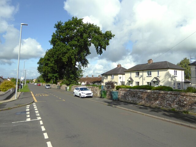
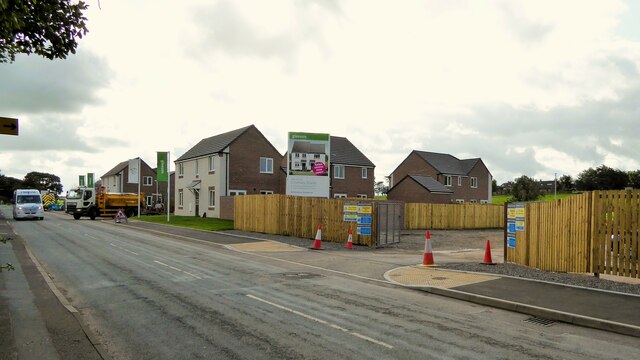
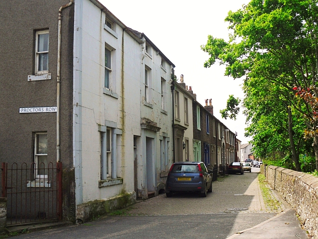
Brackenlands is a picturesque village nestled in the heart of Cumberland, a historical county located in the northwest of England. Situated amidst rolling hills and lush green landscapes, this charming village offers a serene and idyllic setting for residents and visitors alike.
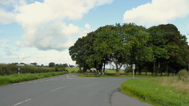
Known for its natural beauty, Brackenlands is surrounded by vast stretches of countryside, providing ample opportunities for outdoor activities such as hiking, cycling, and horseback riding. The village is also home to several well-maintained walking trails, which allow visitors to explore the stunning scenery and enjoy breathtaking views of the surrounding area.
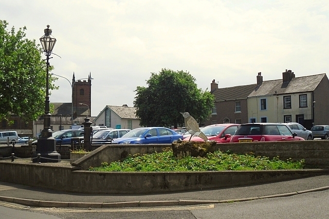
The local community in Brackenlands is vibrant and welcoming, with a strong sense of community spirit. The village boasts a range of amenities, including a small but well-stocked grocery store, a cozy pub serving traditional British fare, and a charming village hall that hosts various events and gatherings throughout the year.
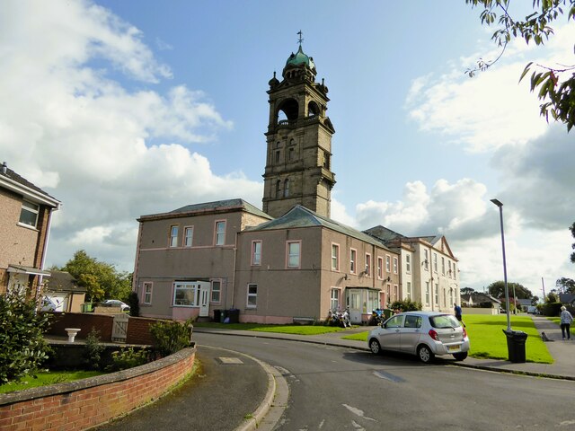
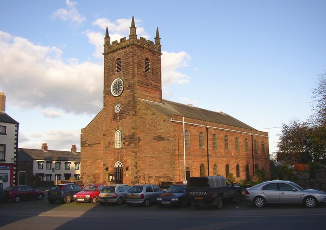
For history enthusiasts, Brackenlands is steeped in rich heritage. The village is home to several historical landmarks, including an ancient church dating back to the 12th century, which showcases stunning architecture and holds regular services. The local museum also offers visitors a fascinating insight into the area's past, featuring exhibits and artifacts that depict the village's history and cultural significance.
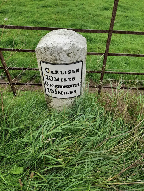
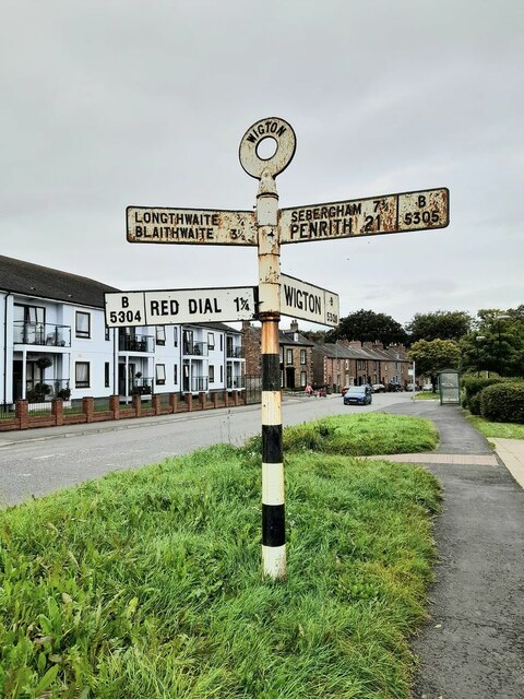
Brackenlands is easily accessible by road, with good transport links to nearby towns and cities. Its tranquil setting and friendly atmosphere make it an ideal destination for those seeking a peaceful retreat or a taste of rural life in picturesque Cumberland.
If you have any feedback on the listing, please let us know in the comments section below.
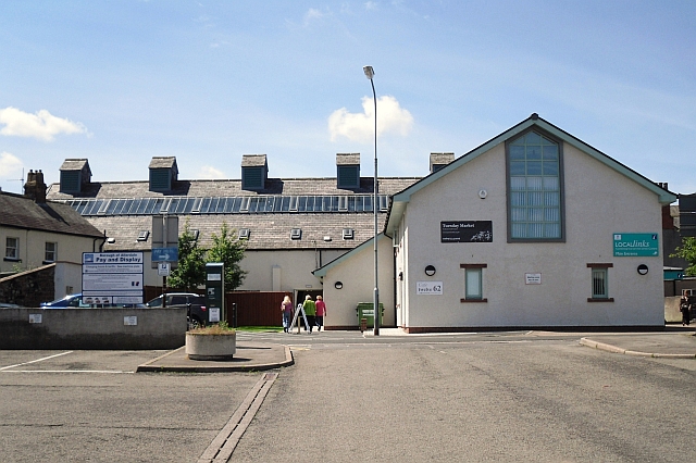
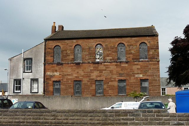
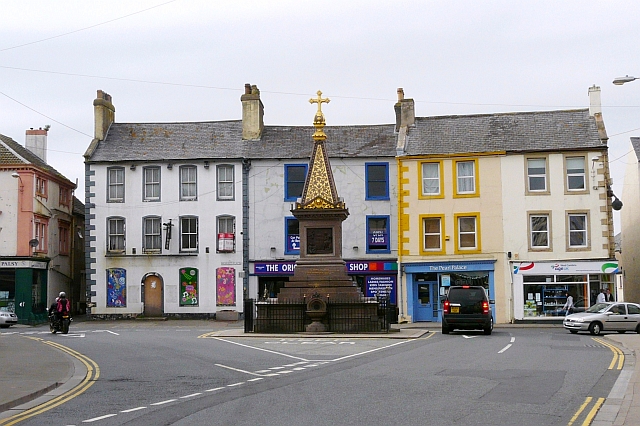
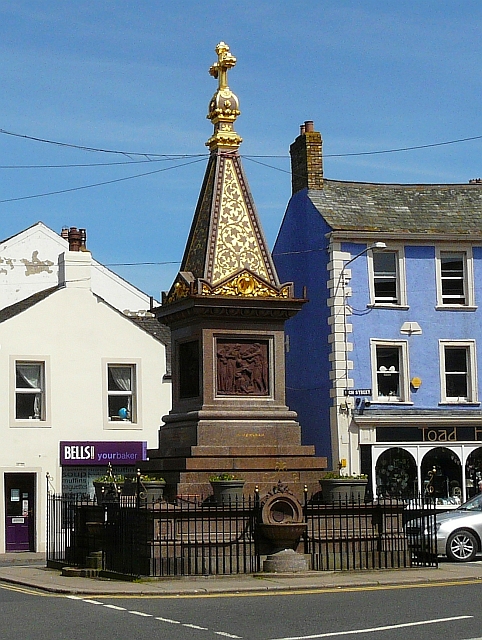
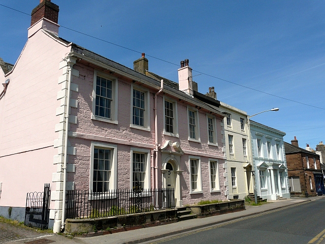
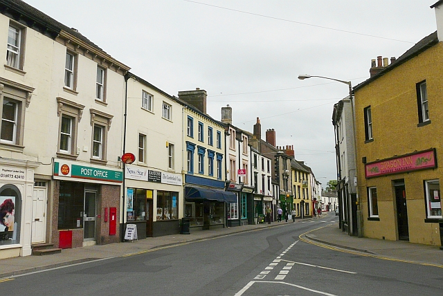
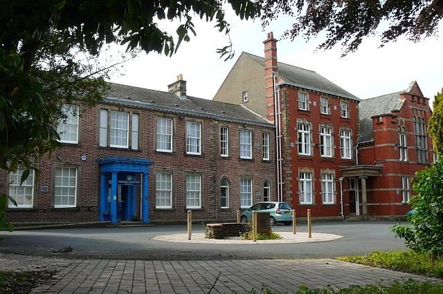
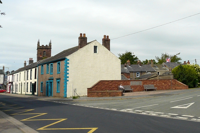
Brackenlands Images
Images are sourced within 2km of 54.814155/-3.156931 or Grid Reference NY2547. Thanks to Geograph Open Source API. All images are credited.
Brackenlands is located at Grid Ref: NY2547 (Lat: 54.814155, Lng: -3.156931)
Administrative County: Cumbria
District: Allerdale
Police Authority: Cumbria
What 3 Words
///special.vaccines.wound. Near Wigton, Cumbria
Nearby Locations
Related Wikis

Brackenlands
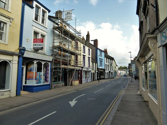
Brackenlands is an area of Wigton in Cumbria, England.
The Nelson Thomlinson School
The Nelson Thomlinson School is a comprehensive secondary school located in the market town of Wigton, Cumbria, England. The school's motto is the Latin...
Wigton
Wigton is a market town in Cumberland, Cumbria, England. It lies just outside the Lake District. Wigton is at the centre of the Solway Plain, between the...
Wigton Rural District
Wigton was a rural district in Cumberland, England from 1894 to 1974. It was created by the Local Government Act 1894 based on Wigton rural sanitary district...

Old Carlisle
Old Carlisle is a village in the civil parish of Westward in the Allerdale district of Cumbria, England. It is located by the River Waver, and was originally...
Wigton School
Wigton School (also called Brookfield School or Friends' School) was an independent boarding school on the outskirts of Wigton, Cumbria. The school was...
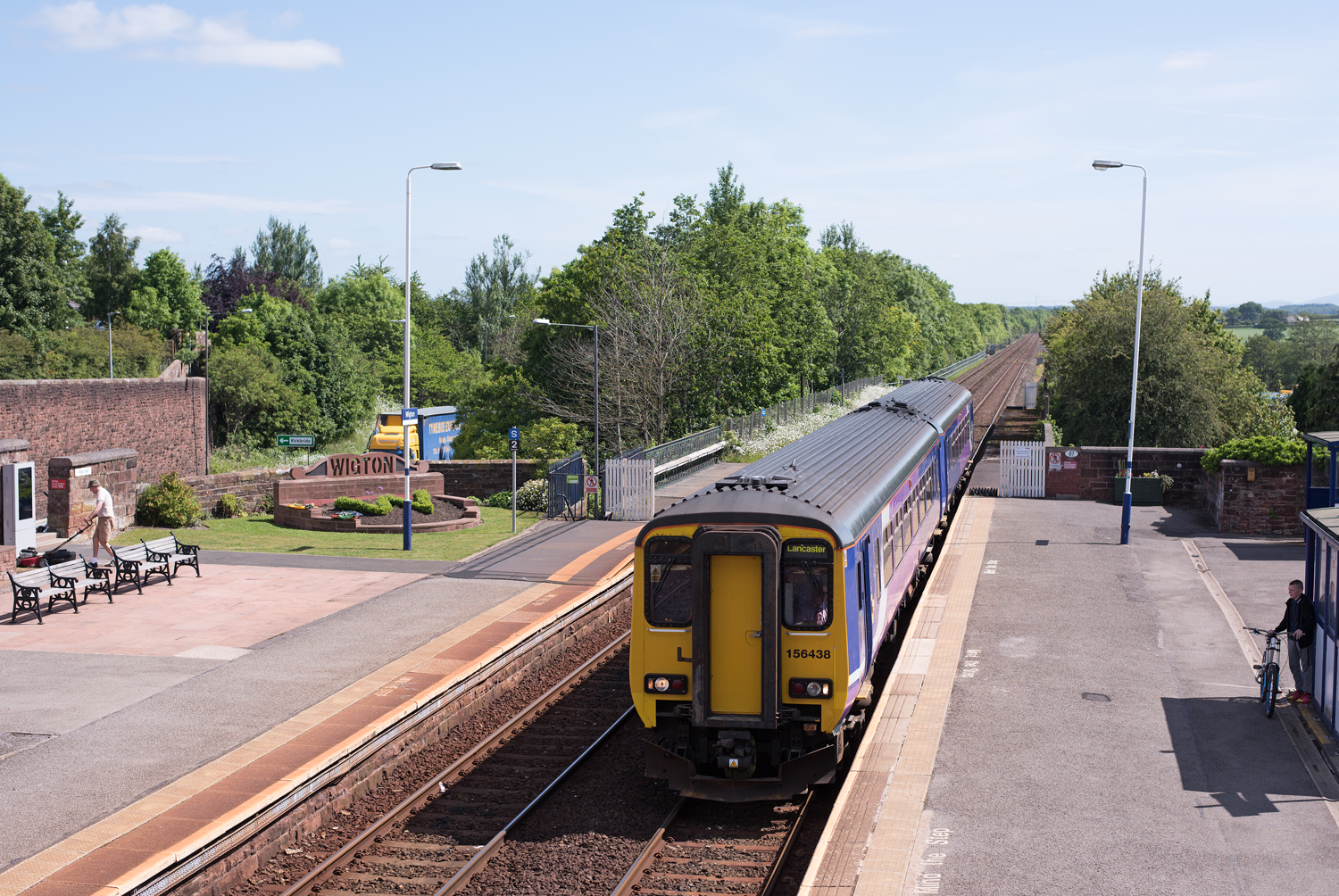
Wigton railway station
Wigton railway station is a railway station serving the market town of Wigton in Cumbria, England. It is on the Cumbrian Coast Line, which runs between...
Brookfield railway station (England)
Brookfield (Cumbria) railway station was a short-lived railway station that served Brookfield School (or Brookfield Academy), a Quaker school situated...
Nearby Amenities
Located within 500m of 54.814155,-3.156931Have you been to Brackenlands?
Leave your review of Brackenlands below (or comments, questions and feedback).