Brackenhall
Settlement in Yorkshire
England
Brackenhall

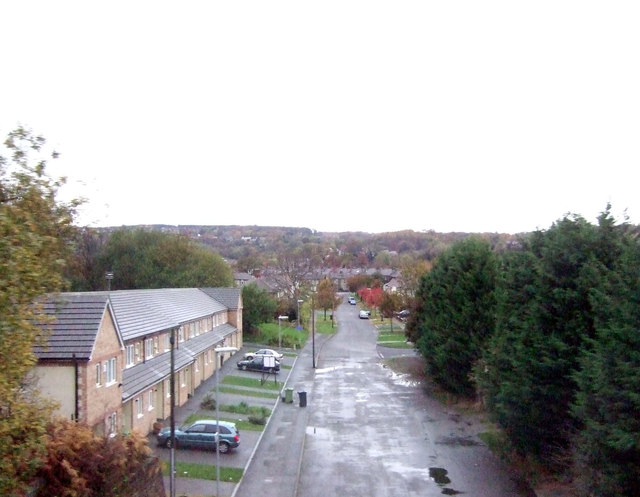
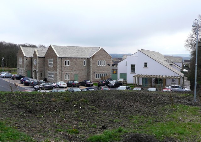
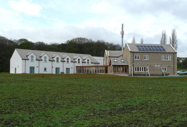
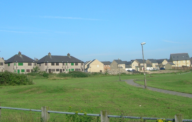
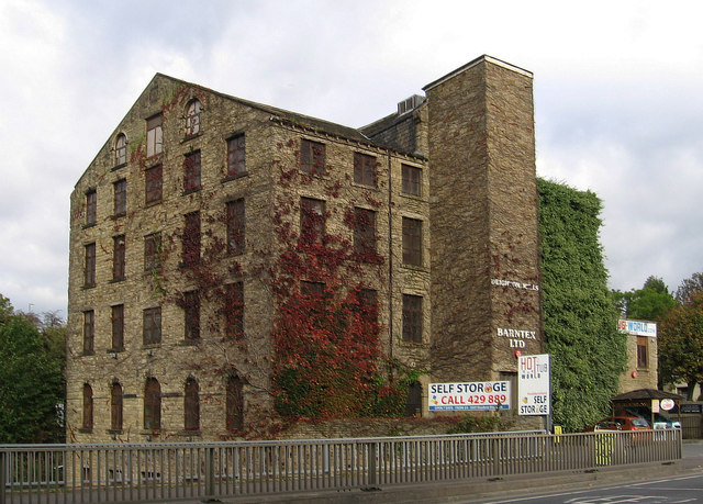
Brackenhall is a small suburban settlement located in the county of West Yorkshire, England. It lies within the metropolitan borough of Kirklees and is situated approximately 2 miles south of Huddersfield town center. The area is primarily residential, offering a mix of housing types, including council houses, semi-detached, and terraced properties.
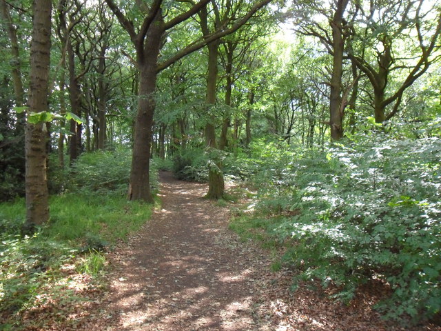
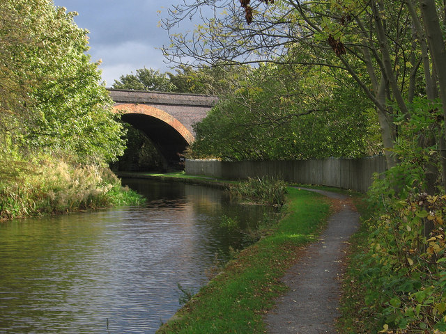
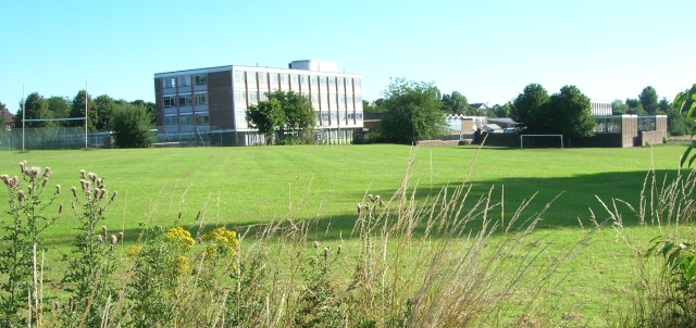
The settlement is surrounded by picturesque countryside, boasting beautiful views of the Pennines to the south. It benefits from its close proximity to the nearby urban areas, providing residents with easy access to a range of amenities and services, including schools, shops, and recreational facilities.
Brackenhall is well-connected to the wider region, with excellent transport links. The M62 motorway is just a short drive away, providing convenient access to cities like Leeds and Manchester. Additionally, Huddersfield train station, located nearby, offers frequent services to major cities across the country.
Despite being a relatively small area, Brackenhall has a strong sense of community, with various local organizations and community centers that organize events and activities for residents of all ages. The area is also home to several green spaces and parks, such as Brackenhall Open Space, providing opportunities for outdoor recreation and leisure activities.
In conclusion, Brackenhall is a residential suburb situated in a picturesque location, offering a mix of housing options and easy access to amenities. Its strong community spirit and proximity to both urban and rural areas make it an attractive place to live for individuals and families alike.
If you have any feedback on the listing, please let us know in the comments section below.
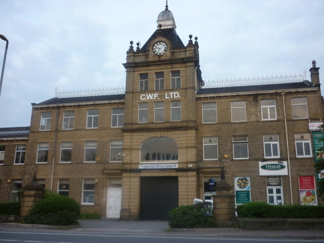
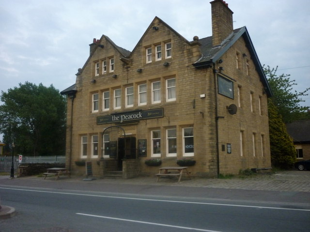
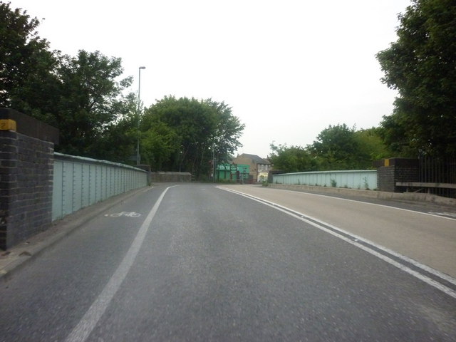
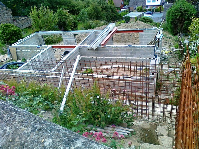
Brackenhall Images
Images are sourced within 2km of 53.672649/-1.771398 or Grid Reference SE1519. Thanks to Geograph Open Source API. All images are credited.


Brackenhall is located at Grid Ref: SE1519 (Lat: 53.672649, Lng: -1.771398)
Division: West Riding
Unitary Authority: Kirklees
Police Authority: West Yorkshire
What 3 Words
///fats.alive.urban. Near Huddersfield, West Yorkshire
Nearby Locations
Related Wikis
Brackenhall
Brackenhall is a district of Huddersfield, West Yorkshire, England located 2 miles (3 km) north of Huddersfield town centre between Fixby and Sheepridge...

Sheepridge, Huddersfield
Sheepridge is a district of Huddersfield, West Yorkshire, England. It is 1.5 miles (2.4 km) to the north-east of the town centre.Sheepridge is situated...
All Saints Catholic College, Huddersfield
All Saints Catholic College is a Roman Catholic secondary school situated in Bradley Bar, Huddersfield, West Yorkshire, England. == History == All Saints...

North Huddersfield Trust School
North Huddersfield Trust School (formerly Fartown High School) is a coeducational secondary school located in the Fartown area of Huddersfield, West Yorkshire...
Deighton, Huddersfield
Deighton pronounced as Dee-ton is a district of Huddersfield, West Yorkshire, England. It is situated 2 miles (3.2 km) north east of the town centre and...

Cowcliffe
Cowcliffe is an area of Huddersfield, West Yorkshire, England. It is situated between Fixby and Birkby based around Cowcliffe Hill Road. Cowcliffe is a...
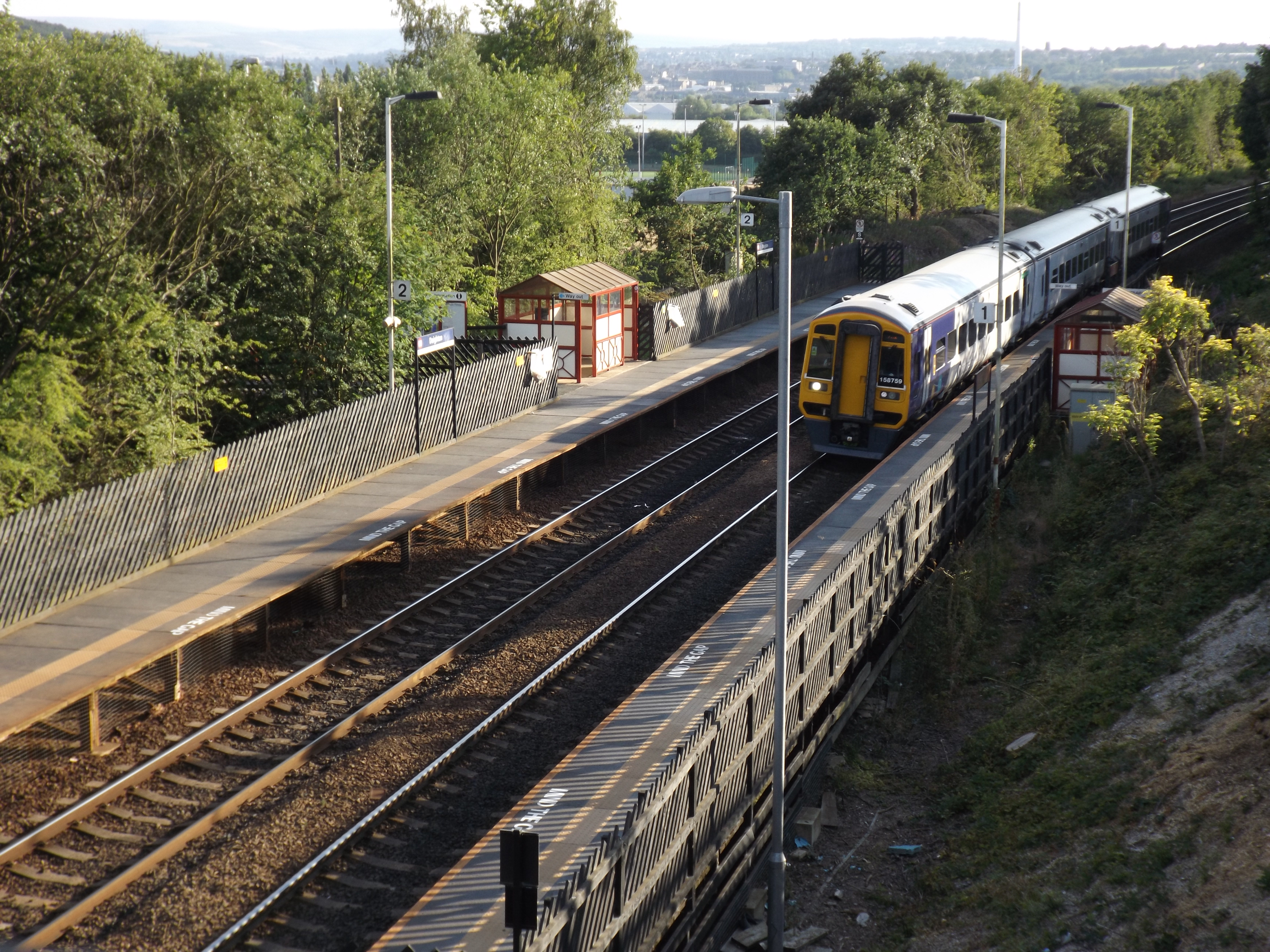
Deighton railway station
Deighton railway station serves the Deighton area of Huddersfield, West Yorkshire, England. Deighton station is the first station 2 miles (3.2 km) northeast...

Fartown, Huddersfield
Fartown is a district of Huddersfield, West Yorkshire, England that starts 0.6 miles (1 km) north of the town centre. Fartown runs for approximately 1...
Nearby Amenities
Located within 500m of 53.672649,-1.771398Have you been to Brackenhall?
Leave your review of Brackenhall below (or comments, questions and feedback).